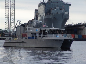
As Hurricane SANDY heads north along the Atlantic coast, NOAA’s Office of Coast Survey is deep into preparations for maritime rapid response. Two objectives stand out: move navigation response personnel and assets into position to move quickly once SANDY moves out; and batten down survey vessels, to protect them from storm damage.
Coast Survey regularly responds to requests for quick navigation surveys after storms and other damaging events, pulling vessels from their normal survey schedules and deploying them to ports that need hydrographic surveys before they can resume full-fledged shipping.
Continue reading “NOAA pre-positions survey assets for SANDY maritime response”
Combining expertise makes for better nautical charts and better understanding of fish habitats in Alaska
Today’s post is written by a guest blogger, Dr. Bob McConnaughey. Bob is the FISHPAC project chief scientist, with NOAA’s Alaska Fisheries Science Center.
Fishery biologists and hydrographers in NOAA are working together to solve two very important problems in the eastern Bering Sea. This area is one of the richest and most productive fishing grounds in the world. Careful management of harvest levels is one part of the effort to sustain these populations into the future. However, it is also important to understand the habitat requirements of the managed species so we can protect the foundation for these high levels of production.
To this end, a team of scientists at the Alaska Fisheries Science Center (AFSC) is developing mathematical models to explain the distribution and abundance of groundfish, such as pollock and cod, and benthic invertebrates, such as red king crab, in order to determine their essential habitats. The research team gathers new environmental data at locations where other AFSC scientists sample fish populations during annual bottom-trawl surveys. In many cases, existing habitat information is very limited, but studies will identify useful variables and the best tools for measuring them over large areas of the continental shelf. Continue reading “Combining expertise makes for better nautical charts and better understanding of fish habitats in Alaska”
NOAA Ship Rainier surveys for the safety of Alaskan fishermen
“But more wonderful than the lore of old men and the lore of books is the secret lore of ocean.”
H.P. Lovecraft, author

Continue reading “NOAA Ship Rainier surveys for the safety of Alaskan fishermen”
Joint Canada-U.S. mapping cruise in the Atlantic winding up

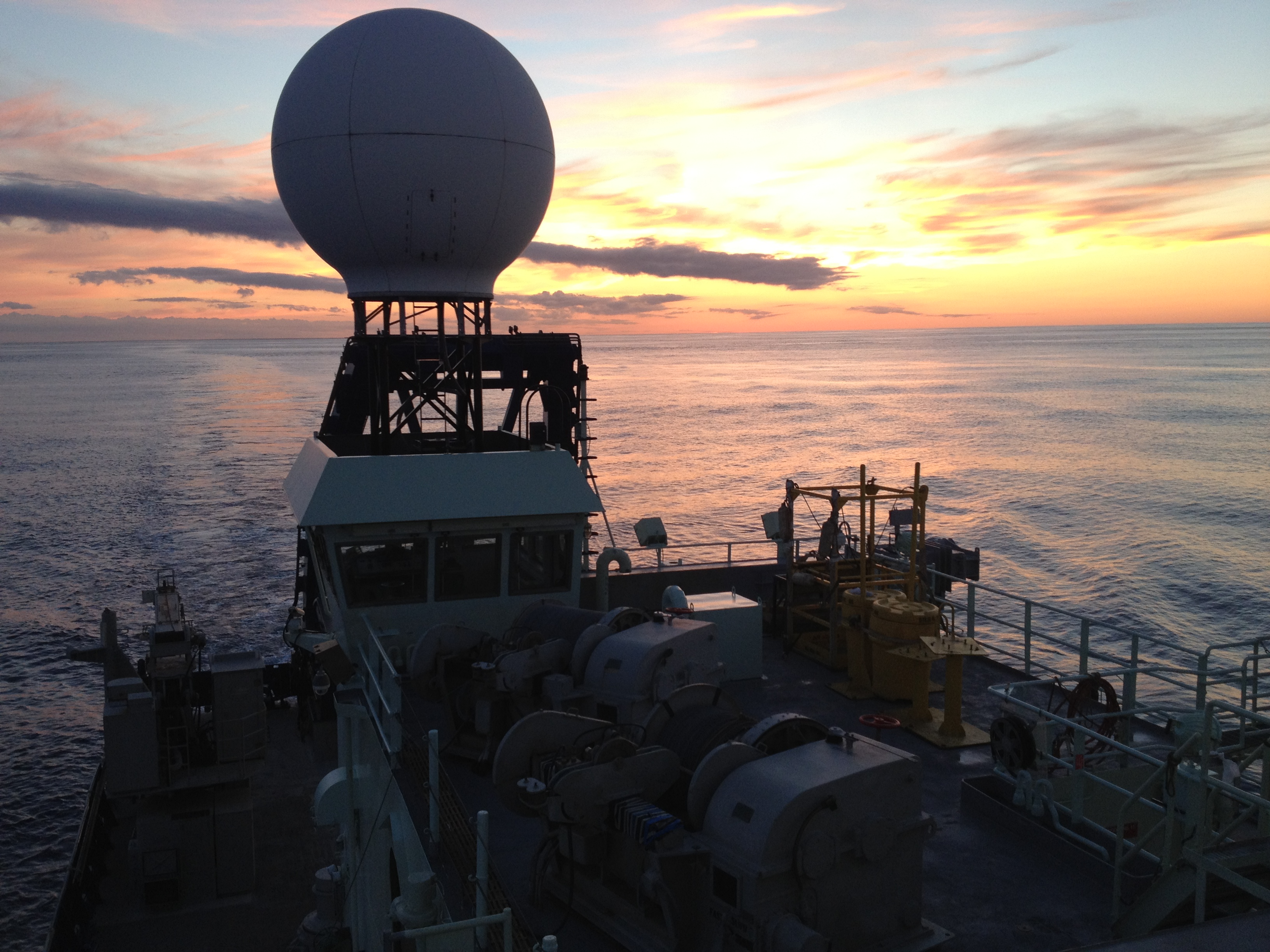
The U.S. and Canada have been surveying in the northern Atlantic Ocean this summer, gathering data to support both countries’ territorial claims under the United Nations Convention on the Law of the Sea (UNCLOS). The survey project started on August 15, and the ship is scheduled to return to Woods Hole, Massachusetts, on September 10.
Continue reading “Joint Canada-U.S. mapping cruise in the Atlantic winding up”
NOAA looks for danger to navigation at Port Fourchon, the “Gulf’s Energy Connection,” helps port resume operations
A rapid maritime response by NOAA’s Office of Coast Survey will likely pay dividends to the U.S. economy, as a high-tech survey team today began surveying the channels of Port Fourchon, the “Gulf’s Energy Connection,” to search for dangers to navigation caused by Hurricane Isaac.

“Time literally means money for U.S. consumers when it comes to navigation through many of the Gulf of Mexico ports,” said Rear Adm. Gerd Glang, Office of Coast Survey director. “In this case, when a port can’t service offshore oil rigs, everyone — and most especially consumers — gets hit in the wallet.”
Continue reading “NOAA looks for danger to navigation at Port Fourchon, the “Gulf’s Energy Connection,” helps port resume operations”
Ready, set…
Coast Survey’s Rapid Maritime Response assets for Hurricane Isaac are now in place, and are ready to move in when the storm moves on.
The teams will search for underwater debris and other dangers to navigation in port areas, to speed the resumption of shipping in areas impacted by the storm. A rapid response — that gives Coast Guard officials vital information on the condition of ship channels — reduces economic losses in maritime trade, reduces potential disruptions in energy supplies when ports are serving energy providers and oil rigs, and keeps mariners safe. (For more, see Coast Survey Prepares Rapid Maritime Response for Tropical Storm Isaac.)
Continue reading “Ready, set…”
Fairweather’s quick reminder of why we need to update Arctic nautical charts
This week the NOAA Ship Fairweather is completing her 30-day hydrographic reconnaissance survey in the Arctic. The crew’s personal observations during this successful cruise brings home the importance of measuring ocean depths and updating nautical charts with precise and accurate modern data. Ensign Owen provides Fairweather’s last blog post for this project. – DF
by Ensign Hadley Owen, NOAA, Junior Officer, NOAA Ship Fairweather (S-220)
1200 hours, Sunday, August 26, 2012:55°57.2’N 166°01.2’W, Bering Sea, approximately 100 nautical miles north of Unimak Pass
Continue reading “Fairweather’s quick reminder of why we need to update Arctic nautical charts”
NOAA Ship Ferdinand R. Hassler submits survey of historic wrecks acquired during test and evaluation operations
by Lt. Madeleine Adler, NOAA, Navigation Officer, NOAA Ship Ferdinand R. Hassler

NOAA Ship Ferdinand R. Hassler recently submitted a multibeam echo sounder survey of two sunken World War I era battleships to the Office of Coast Survey. Hassler, which was commissioned earlier this summer, surveyed the site of these two wrecks while transiting through the area during test and evaluation operations in 2011, and has been using the resulting dataset for calibration purposes since then. Although the wreck locations were well known, they had never been surveyed with modern techniques.
The ships are USS New Jersey and USS Virginia, which were intentionally sunk during aerial bombing experiments in 1923. U.S. Army Colonel Billy Mitchell, a pioneer of military aviation, urged the Navy to investigate the effectiveness of aerial bombing against surface vessels. As part of a series of tests, the Navy anchored the two obsolete “White Fleet” battleships off Cape Hatteras in September 1923 to serve as targets. Bombers under Mitchell’s direction sank both ships in short order. The success of these tests had a significant influence on subsequent development of U.S. air power and air defense for naval vessels.
Continue reading “NOAA Ship Ferdinand R. Hassler submits survey of historic wrecks acquired during test and evaluation operations”
NOAA Ship Fairweather: “We made it!”
by Ensign Hadley Owen, NOAA, Junior Officer, NOAA Ship Fairweather (S-220)
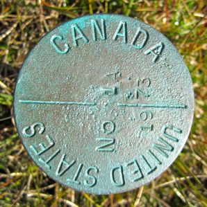
1200 hours, Saturday, August 18, 2012: 69°41.4’N 141°03.3’W, at anchor, 1.5 nautical miles west of Demarcation Point, on the United States/Canadian border
We made it!

I must admit, I had my doubts a week ago. But we made it safely through relatively ice-free seas to the northern border between Alaska and Canada’s Yukon Territory.
We were able to collect multibeam echo sounder data along the entire route. The area continues to be relatively shallow (8 to 25 meters) and relatively flat (1 to 1.5 meters of relief). However, dramatic ice scours and scars on the seafloor are easily visible in the data collected.
Continue reading “NOAA Ship Fairweather: “We made it!””
NOAA Ship Fairweather crew takes in Arctic beauty as they collect hydro data off Alaska’s North Slope
by Ensign Hadley Owen, NOAA, Junior Officer, NOAA Ship Fairweather (S-220)
1200 hours, August 17, 2012: 70°13.7’N 144°49.6’W, approximately 250 nautical miles along the coast SSE of Barrow, AK
The water turned a silty gray-green early afternoon yesterday, Thursday, August 16. The Fairweather was transiting through areas with depths under our keel of between 8 and 20 meters – a somewhat caution-inducing sight for a vessel of our size. But the ice has opened up and we have made it east of Barrow. We are currently the furthest east along the North Slope of any NOAA or U.S. Coast and Geodetic Survey hydrographic ship, as previous surveys were last conducted by field parties with much smaller boats, in the 1950s and 1960s. As the crow flies, we are currently 90 miles or so west of the Canadian border and our turn-around point. However, we are of course not transiting in a straight line but in the zigzag/argyle pattern, so have a bit more sea floor to cover.
Continue reading “NOAA Ship Fairweather crew takes in Arctic beauty as they collect hydro data off Alaska’s North Slope”
