Ever wonder what it’s like to be a member of the NOAA Coast Survey team? We use the Coast Survey spotlight blog series as a way to periodically share the experiences of Coast Survey employees as they discuss their work, background, and advice.
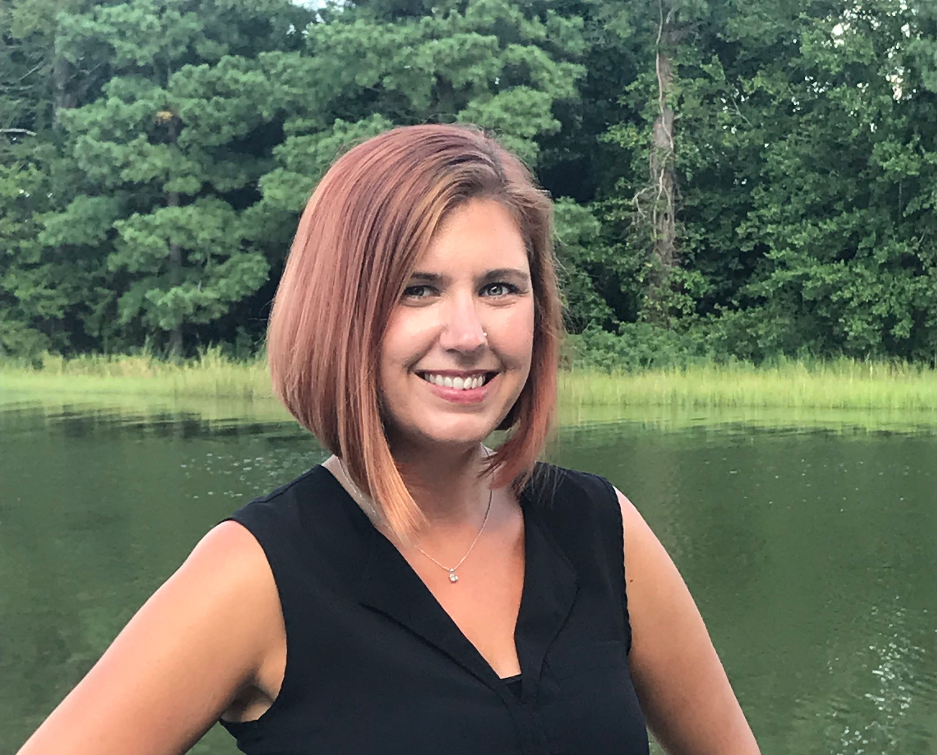
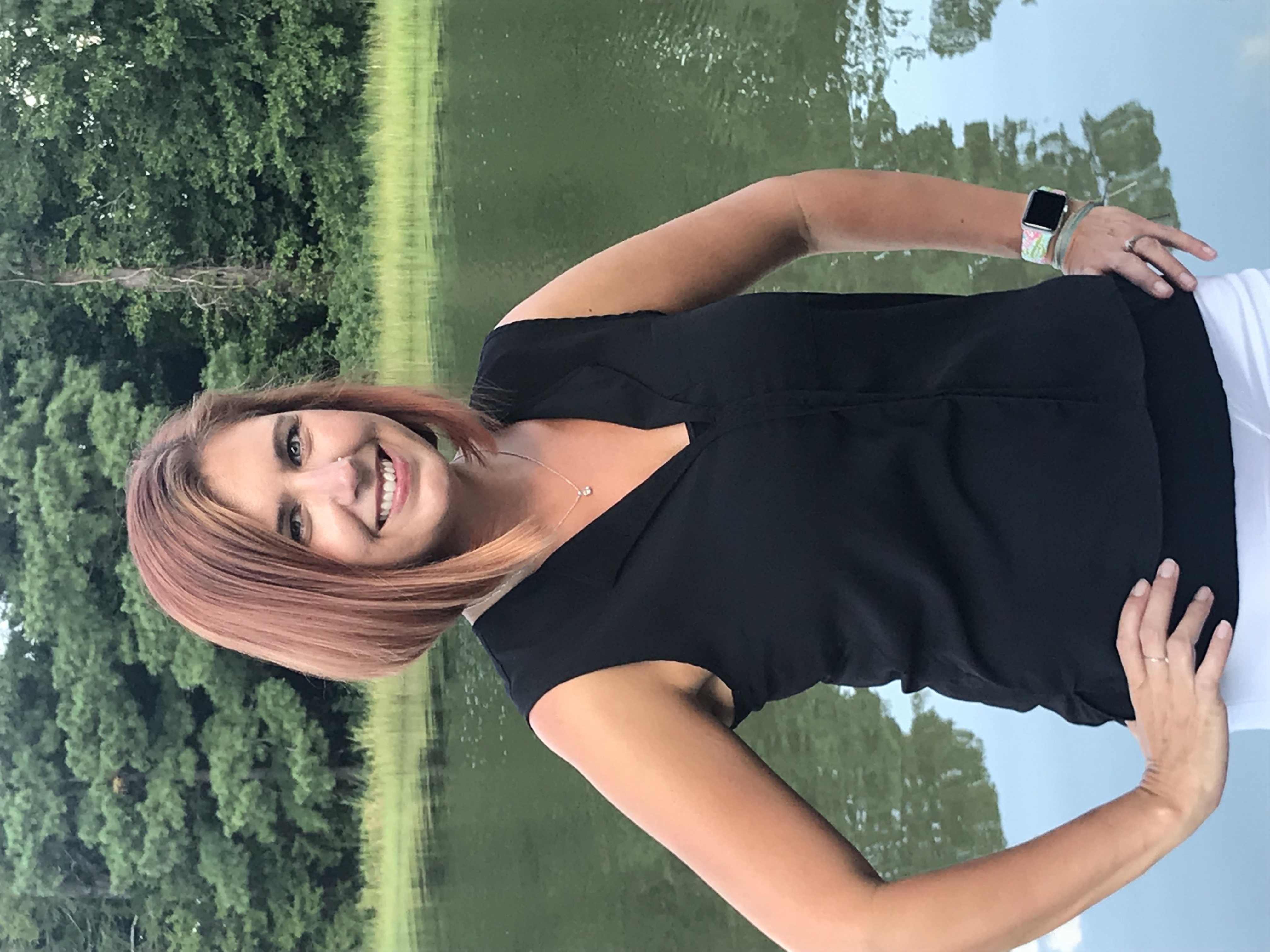
Kolleen Mortimer, Physical Scientist
“Knowing the data we examine every day contributes to safe navigational products is greatly rewarding. It’s also rewarding to see the process come to life in a greater scope. When the data leaves my desk and makes it to a chart product, I can say that my work contributed to that.”
What is your job title, and how long have you worked for Coast Survey?
I am a physical scientist with the Hydrographic Surveys Division Atlantic Hydrographic Branch in Norfolk, Virginia. I first started as a contractor hydrographic technician in 2009 and became a physical scientist in 2013.
What were your experiences prior to working for Coast Survey?
Prior to joining Coast Survey, I was an aquarist at the Virginia Aquarium, working in acquisitions and stranding response. I built tank systems, taught stingrays to eat from visitors’ hands, collected local fish species, and responded to marine strandings. I earned a degree in biological oceanography from Old Dominion University and am currently pursuing a master’s degree in geospatial information sciences from the University of Maryland.
What is a day in your job like?
Like many of us, on any day, there are a number of different things that I could be doing. The majority of my work is preparing hydrographic data for ingestion into the National Bathymetric Source, which provides bathymetric data as a stand alone product, and evaluating incoming data with regard to established divisional standards. I also work to ensure documentation and workflows coincide with division standards, train contractors and new employees, and spend a bit of time on NOAA’s vessels acquiring and processing data. I recently completed NOAA’s Office of Coast Survey and International Hydrographic Organization S-8 Category B certification in nautical cartography program.
Why is this work important?
It is important for the public to have the best quality product we can provide to them. From commerce, to academia, to other government agencies, to recreational fisherman, it is our responsibility to provide the public with the most reliable information in a timely manner.
What aspects of your job are most exciting or rewarding to you?
One of the main goals in Coast Survey is safe navigation. Knowing the data we examine every day contributes to safe navigational products is greatly rewarding. It’s also rewarding to see the process come to life in a greater scope. When the data leaves my desk and makes it to a chart product, I can say that my work contributed to that. I live on the water and spend a lot of time boating, and I have proudly directed many friends and neighbors to NOAA’s navigational products for their own use.
What advice would you give to someone looking to pursue a career in your field?
Say yes! There is a broad range of opportunities presented in our field. Choose to be a visiting scientist aboard a hydrographic vessel, accept a detail, volunteer for outreach opportunities, or even accept a task no one else wants to take. Taking on new challenges and experiences can lead down unique paths that not only improve your resume but also your own personal development.