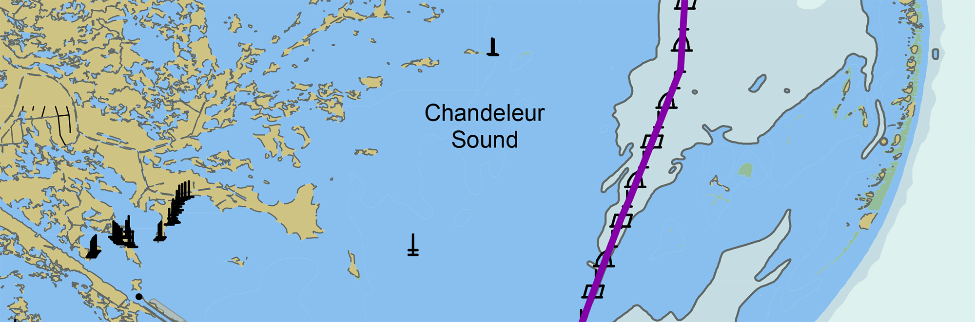
In anticipation of the temporary closure of the Gulf Intracoastal Waterway (GIWW)’s Inner Harbor Canal Lock, the Office of Coast Survey released three updated NOAA electronic navigational charts (NOAA ENC®) reflecting the Chandeleur Sound Alternate Route and the addition of 97 Aids to Navigation (ATON). The updated charts include US5LA24M, US4LA34M, and US4MS12M and can be viewed in NOAA’s ENC Viewer or downloaded from NOAA’s Chart Locator.
NOAA raster navigational charts product suite, charts 11353, 11363, and 11373, were also updated with the ATONs. However, they will not be updated with U.S. Army Corps of Engineers (USACE) sounding data. For the most up-to-date charts, refer to NOAA ENC.
The Gulf Intracoastal Waterway (GIWW) is a 1,050 mile barge canal, completed in 1949. Stretching from Brownsville, Texas, to Carrabelle, Florida, it carries enough tonnage along the waterway to make it a top five port in the United States. A critical waypoint of the GIWW is the Inner Harbor Canal Lock, located in New Orleans, Louisiana. Almost 100 years in age, the lock is operated by the U.S. Army Corps of Engineers, New Orleans District.
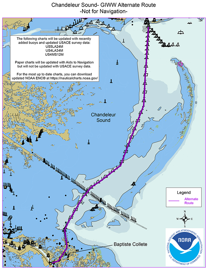
Since Hurricane Katrina in 2005, closures of various waterways in the area made this canal lock the only path connecting the eastern and western halves of the GIWW. Currently, parts of the lock (the gates, walls, operating equipment, etc.) require repair and replacement. USACE must close the lock for a period of approximately two months starting on August 31. This closure will divert eastbound GIWW tow traffic down the Lower Mississippi River and then across Chandeleur Sound, from Baptiste Collette Bayou to Port Gulfport, Mississippi. More than 1,000 tow transits may be seen across the alternate route this year.
The planning for this closure, and almost 90-mile diversion of inland tow traffic, required close coordination among NOAA’s Office of Coast Survey, the Gulf Intracoastal Association (GICA), U.S. Coast Guard, and USACE. The National Weather Service New Orleans Office also joined in this effort to provide weather forecasting and warning support for tow transits across the open sound.