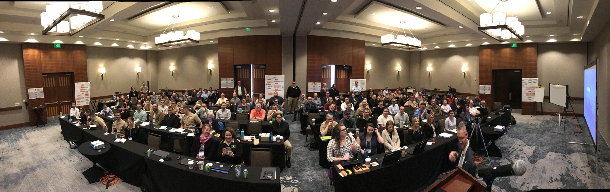
The field of hydrography, like most sciences, is comprised of experts honing their craft, improving their tools, building upon the successes of previous years, and learning from their mistakes. Hydrographers typically accomplish this iterative process in the field, publishing papers, presenting at industry conferences, and often through discussions over the phone or via email. However, once a year, the NOAA hydrographic community — those who measure and describe the features of the seafloor to update nautical charts and support a variety of sciences — meets at the Field Procedures Workshop to not only share information, but have frank discussions about their challenges and the path forward in preparation for the upcoming hydrographic field season.
“The Field Procedures Workshop is the single most important event of the year for NOAA’s hydrographic community,” said Rear Adm. Shep Smith, director of the Office of Coast Survey. “NOAA has become a global leader in hydrography because we use the full breadth of our community to continually refine our practices and adopt the best available technology and tools.“

Themes of this year’s workshop include:
- the Presidential Memorandum on Ocean Mapping of the United States Exclusive Economic Zone and the Shoreline and Nearshore of Alaska,
- unmanned systems for hydrography,
- innovative use of boat-mounted lidar for precise port mapping, and
- plans to sunset raster nautical chart production.
With these themes in mind, attendees are discussing best practices, aligning technology with policy, future plans and strategies, and flagging needed changes in NOAA’s documented requirements and procedures.
Workshop attendees include NOAA leadership, survey technicians and ship crews, navigation response teams, representatives from hydrographic data centers, project managers, shoreline mapping experts, hydrographic survey contractors, NOAA software developers, commercial software developers, and sonar manufacturers. Federal partners such the U.S. Army Corps of Engineers, the National Geospatial-Intelligence Agency, and the Naval Oceanographic Office are in attendance, as well as an international partner, the Canadian Hydrographic Office.
The 2020 hydrographic field season begins in just a few weeks. NOAA’s survey vessels and contractors will head to familiar waters in areas like Galveston Bay and Chesapeake Bay but also travel as far as Guam and the Commonwealth of the Northern Mariana Islands to survey and collect other oceanographic observations. To learn more about these and a variety of other survey projects, visit our story map.