by Marcus Cole, Coast Survey’s Cartographic & Geospatial Technology Program
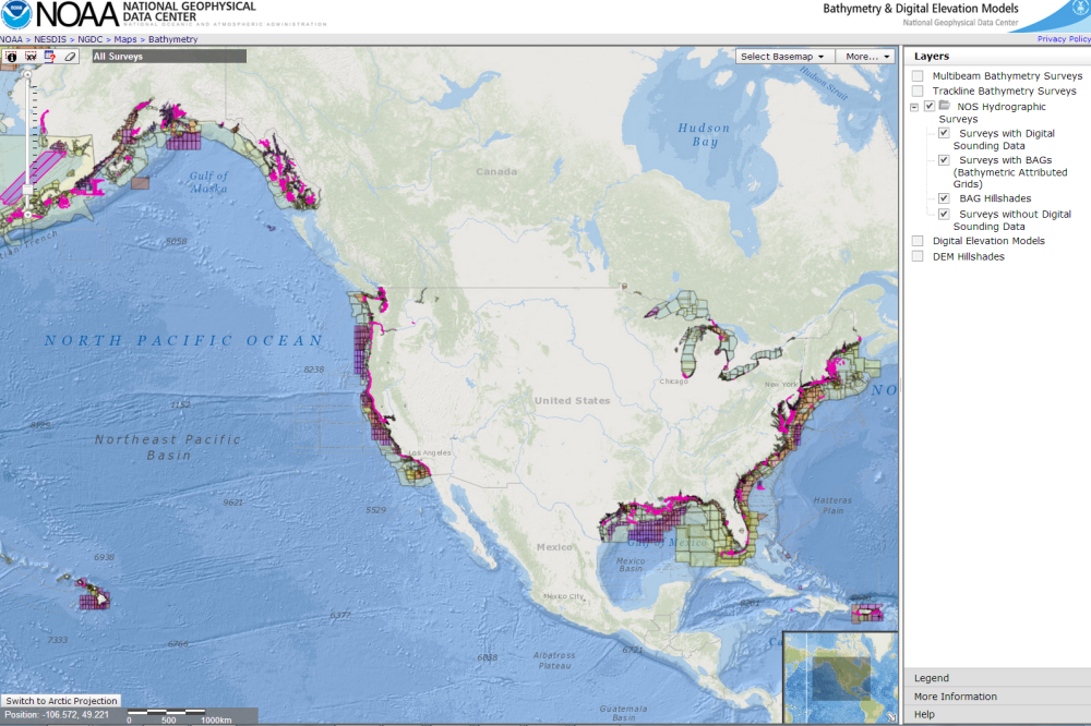
Many are familiar with hydrographic surveys used to update nautical charts.
It isn’t enough, however, to collect just bathymetry during a survey. Without the context, such as when the data was collected, what instrumentation was used, or which tide stations were used to adjust the bathymetry to a particular datum, the data can’t be compiled into a chart update. The data can’t be discovered for a fish habitat study, or an analysis of coastal erosion, or tsunami inundation modeling. And, until two years ago, this metadata (data about data) was collected in a paper document that hadn’t changed much during the last century.
Experts from NOAA’s National Geophysical Data Center (NGDC) and Coast Survey’s Hydrographic Surveys Division recently ramped up the intensive process of overhauling their hydrographic survey metadata system ‒ an investment in resources that has increased efficiency, reduced errors, improved access, and enabled data discovery for anyone accessing the publicly available files.
This particular effort centered on a new metadata format for descriptive reports (DR) that accompany every hydrographic survey. The report is a critical document that supplements and helps characterize the hydrographic data itself. For example, the DR lists the conditions under which the survey was performed, factors that might affect the survey’s adequacy and accuracy, who collected the data, how it was collected and processed, the equipment and procedures used, and the results. This metadata is essential for evaluating the survey, updating charts, and contributing to NOAA’s historical and legal archive.
Coast Survey’s new method of tracking metadata for DRs uses a format readable by both humans and computers: eXtensible markup language (XML). XML defines a set of rules for encoding documents that enables automation for many metadata-related processes:
- producing, editing, and transferring survey metadata;
- searching for text in a document;
- transforming data formats; and
- publishing standards-compliant metadata to multiple data warehouses from a single record.
Automation reduces the errors that may come from manual data entry, decreases the time needed to generate a DR, and enables data to be linked to other information pipelines. The biggest benefit from all these improvements in automation, however, is consistency. Just as datums are consistently defined and used in hydrographic surveys, metadata in the new XML DR architecture will be consistently generated and applied, leading to greater intercomparability between surveys. Furthermore, this change aligns with NGDC, where hydrographic survey data is archived. NGDC is adapting its data archiving and management infrastructure to take advantage of XML DR.
Not only does the new XML architecture make it easier to share data between Coast Survey and NGDC; it also helps integrate information from other branches of NOAA and the wider survey-interested community. Some of that information includes:
- vessel specifications from the Office of Marine and Aviation Operations and survey planning information from the Office of Coast Survey;
- tide stations from the Center for Operational Oceanographic Products and Services that are linked to particular surveys;
- vertical and horizontal datums from the National Geodetic Survey used for data collection; and
- vessel information coordinated with the University-National Oceanographic Laboratory System (UNOLS) to track data collected outside of NOAA.
XML DR may also help Coast Survey integrate survey planning and ship resource management, extending its impact and utility even further.
A team of NOAA Corps officers, CIRES/University of Colorado contract staff, and Coast Survey experts worked together to foster these technology changes. As a result of their efforts to make data more consistent and accessible, it is as easy to learn something about H00001, the first survey conducted in 1837 in Long Island Sound, as it is to view H12381, a modern LIDAR survey from the Florida Keys.
can’t thank you enough. Job well done!