NOAA hydrographic survey ships and contractors are preparing for the 2020 hydrographic survey season. The ships collect bathymetric data (i.e. map the seafloor) to support nautical charting, modeling, and research, but also collect other environmental data to support a variety of ecosystem sciences. NOAA considers hydrographic survey requests from stakeholders such as marine pilots, local port authorities, the Coast Guard, and the boating community, and also consider other hydrographic and NOAA science priorities in determining where to survey and when. Visit our “living” story map to find out more about our mapping projects and if a hydrographic vessel will be in your area this year!

Great Lakes
Chicago, Illinois – This project is located along the southernmost point of Lake Michigan, which includes the Chicago Harbor and portions of the Indiana and Michigan shorelines. Much of this 371 square nautical mile survey area has not been surveyed since the late 1940s.
Atlantic Coast
Gardiners Bay, New York – Gardiners Bay is home to recreational, tourism, and ferry vessels transiting from Long Island Sound to the north and south sides of Shelter Island. The bay was last surveyed in the 1930s.
Long Island Sound, New York – This project encompasses a large area of shoreline that is home to almost eight million people, and includes the highly trafficked lower Hudson River and Green River.
Central Chesapeake Bay, Virginia – Survey vintage predates 1950 for the majority of the project area, despite vessels transiting within close proximity to the seafloor. This survey will close a critical gap in existing modern hydrographic data between the entrance to Chesapeake Bay up through Baltimore, Maryland.
Onslow Bay, North Carolina – This project covers a 362 square nautical mile area seaward of Morehead City and Cape Lookout Shoals. Data from this project will supersede 1970 vintage chart data, in an area of shifting shoals.
Canaveral, Florida – This project is located approximately six nautical miles southeast of Cape Canaveral. Much of the 376 square nautical mile survey area has not been surveyed since 1930. The types of marine vessels visiting Port Canaveral include passenger vessels, cargo ships, tug boats, pleasure crafts, tankers, sailing vessels, fishing vessels, and special crafts.
Gulf of Mexico
Apalachicola, Florida – This project covers an area offshore of Apalachicola Bay and Joseph Bay, Florida. The survey will provide updated bathymetry and feature data to address concerns of migrating shoals.
Approaches to Houston, Texas – This survey covers approximately 163 square nautical miles of Trinity Bay, Galveston Bay, Houston Ship Channel, and Buffalo Bayou. Modern high-resolution surveys of these areas are important for navigational safety and as a tool to help planners and researchers model and manage issues as diverse as floodwater movement and oyster reef restoration.
Approaches to Galveston, Texas – This survey covers approximately 610 square nautical miles between the Galveston Bay and Sabine Bank Channels in an area that has not been surveyed since 1963. This survey will identify changes to the bathymetry since previous mapping efforts.
Flower Garden Banks National Marine Sanctuary – This project will support NOAA’s Flower Garden Banks National Marine Sanctuary and the Bureau of Ocean Energy Management in their efforts to effectively protect ecologically sensitive and important areas within the Northwestern Gulf of Mexico. The nine banks to be surveyed in this project have not been surveyed to modern standards.
Alaska
Norton Sound – This survey will improve the safety of maritime traffic and services available to remote coastal communities by reducing the current risk of unknown water depths. The last hydrographic surveys of this area occurred in the late 1890s. Tide gauges will also be installed to provide tide data in an area currently underserved with tide observations.
Newenham – This survey will improve the safety of maritime traffic and services available to Bethel and communities around Goodnews Bay by reducing the current navigation risk due to unknown hazards.
Glacier Bay – Frequently visited by cruise ships and tourist vessels, modern surveys will increase maritime safety and address uncharted areas exposed by receding glaciers in this area.
Southeast Alaska – This project will provide modern bathymetric data for Whale Pass, Thomas Bay, and Endicott Arm at Dawes Glacier. Similar to Glacier Bay, this new data will identify hazards and changes to the seafloor, provide data for nautical charting products, and improve maritime safety.
South Pacific
Commonwealth of the Mariana Islands – A multidisciplinary NOAA team will map the waters around Guam, Saipan, Rota, Tinian, and other islands in the northern part of the Commonwealth of the Mariana Islands. The team will map bathymetry, collect backscatter data, and characterize habitat, while simultaneously performing coral reef assessment dives and collecting other oceanographic observations.
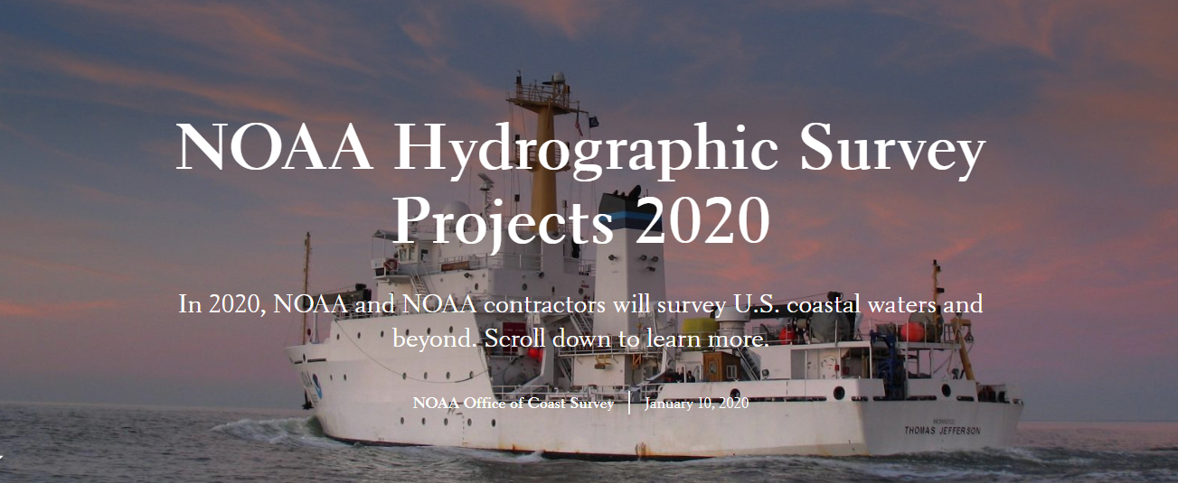
NOAA’s four hydrographic survey ships –Thomas Jefferson, Ferdinand Hassler, Rainier, and Fairweather – are operated and maintained by the Office of Marine and Aviation Operations, with hydrographic survey projects managed by the Office of Coast Survey.
Where can I find the data for the 2020 Apalachicola, Florida Port st Joe near shore survey. Thank you
The survey data for that project (OPR-J359-KR-20) is still being processed and is not available for application. There are several surveys within this project and once they are through processing will be posted at National Centers for Environmental Information. Use the interactive maps near the top left side of the webpage.