Getting free information
One of NOAA’s handiest navigation products, especially for recreational boaters, has been Coast Survey’s experimental BookletCharts™ — nautical charts that are easy to download and print from home computers. We have now moved the BookletCharts from experimental stage into official production.
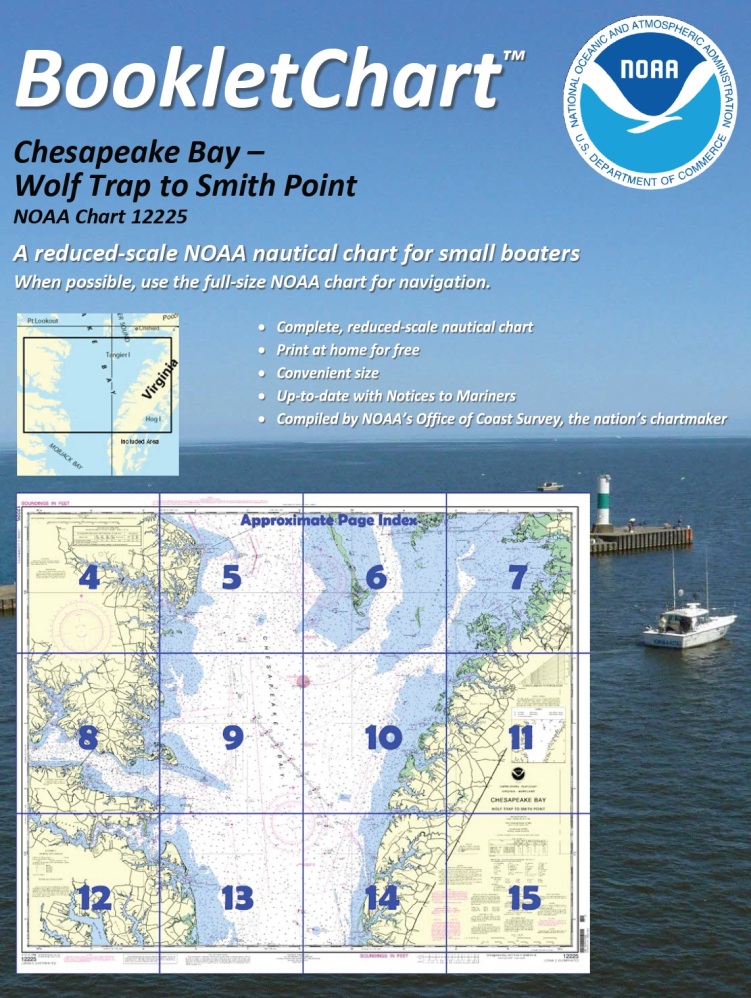 Nearly a thousand newly updated BookletCharts are available free on the Web. The BookletCharts, which cover the 95,000 miles of U.S. coastline and the Great Lakes, are smaller scale than our traditional paper charts, but they contain most of the information found on a full-scale nautical chart. They are in an 8 1/2 x 11 inch PDF format for home printing.
“It is especially appropriate that we unveil these easy-to-use nautical charts as recreational boaters begin to think about their boating adventures for 2013,” explained Capt. Jon Swallow, chief of NOAA Coast Survey’s Navigation Services Branch. “NOAA’s nautical charts help to protect lives and property, and boaters should take advantage of these free nautical products.”
“Many boaters don’t use nautical charts, trusting local knowledge or their memories. But that can be dangerous, as seafloors constantly shift, shorelines erode, and dangers to navigation are discovered,” Swallow said. “BookletCharts will tell a boater about these developments, and will help ensure a safe voyage, whether it is around the bay or down the coast.”
Getting boaters to recognize the importance of carrying charts is an uphill climb. A tourist shop in Charleston recently offered (an admittedly funny) t-shirt for sale. It had a “definition” of a nautical chart splayed across the front: “chärt, noun: a nautical map that shows you what you just hit.”
Of course, smart recreational boaters know that a chart is more than that. It is the first line of defense for the lives of boaters. Hundreds of boating accidents happen because boaters are inattentive or unaware of the environment around them – underwater obstructions or shoals, for instance, that are depicted on a nautical chart.
As your boating experience bears out, the bottoms of our waterways and oceans change from the effects of storms, accumulation of sediment, and debris. Our shorelines are in a state of change, from natural powers or because of human development. And that brings up another important safety issue: Coast Survey, as the nation’s nautical chartmaker, is responsible for updating the nation’s nautical charts, to reflect those changes.
Regular readers of this blog see the fantastic work done by NOAA’s four survey ships (Fairweather, Rainier, Thomas Jefferson, and Ferdinand R. Hassler), our survey research vessel Bay Hydro II, our six navigation response teams, and independent survey contractors. They face a huge challenge: the U.S. has nearly 3.5 million square nautical miles of coastal waters, and surveying those waters, relying solely on current NOAA resources, would take 545 ship years and $5 billion just to acquire the data.
Giving free information
Fortunately, thousands of citizen volunteers in this nation’s nautical community are committed to helping us ensure safe navigation. Rear Admiral Gerd Glang, Coast Survey’s director, recently met with many of them at the U.S. Power Squadrons annual meeting in Jacksonville. The meeting was a tremendous occasion, as NOAA and the USPS renewed a 50-year commitment to a cooperative charting program that facilitates updates to the nation’s charts.

As Glang explained in his remarks at the USPS meeting, “Coast Survey is a small program with a very large mission. Our few hundred people dedicate themselves to protecting people who venture on the water for their livelihood, for the nation’s defense, or for enjoyment.” He was quick to point out, however, that we also count on the U.S. Power Squadrons and the U.S. Coast Guard Auxiliary members who scrutinize their local charts for accuracy and report discrepancies to us.
Coast Survey and the U.S. Power Squadrons formalized the voluntary program by signing an updated Memorandum of Agreement. Under the MOA, members of the U.S. Power Squadrons look for changing conditions that could be reflected on NOAA nautical charts and submit their reports online. Coast Survey cartographers review and incorporate changes to charts and the United States Coast Pilot.
Over the last ten years, volunteers have submitted over 28,000 corrections to NOAA’s nautical charts and the Coast Pilot. More than 4,000 USPS members submitted reports, adding their particular local knowledge to NOAA’s national effort to keep navigation materials accurate.
“Sailors must be able to trust their nautical charts,” Glang pointed out. “Since charting began, cartographers have tried to capture the ocean depths at a moment in time, so we can depict them with accuracy and precision. You and I know, however, that what is precise and accurate today may be inaccurate with the passing of a single storm. So our job never ends.”
You don’t have to belong to a Power Squadron or the Coast Guard Auxiliary to give us a chart update. Anyone can report a charting discrepancy, any time. NOAA – and recreational boaters – will thank you!
