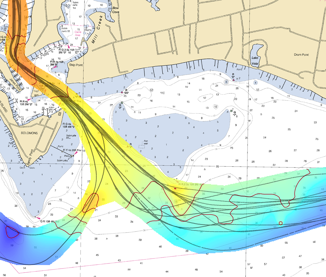
We are on the verge of acquiring a significant new source of data to improve NOAA nautical charts, thanks to an enthusiastic industry and mariners equipped with new technology.
By Lt. Adam Reed, Integrated Oceans and Coastal Mapping (IOCM) Assistant Coordinator
The United States has about 3,400,000 square nautical miles of water within our coastal and Great Lakes jurisdiction. Coast Survey, who is responsible for charting that vast area, averages about 3,000 square nautical miles of hydrographic surveying each year. The data collected by those surveys update over a thousand NOAA charts. However, hydrographic surveys are expensive and laborious, and so Coast Survey directs them toward the highest priority sites, which leaves many coastal areas without updates for many years.
Coast Survey may soon get new sources of information, provided voluntarily by mariners, which will alert cartographers to areas where shoaling and other changes to the seafloor have made the chart inaccurate.
Continue reading “Beta test of crowdsourced bathymetry holds promise for improving U.S. nautical charts”

