For the 65 years since the U.S. Coast and Geodetic Survey issued the first edition of U.S. Chart No.1 in 1948, mariners have had a standard guide for understanding the symbols, abbreviations and terms used on paper nautical charts. In a major step forward, a new edition of that guide also describes the symbols specified by the International Hydrographic Organization for the display of electronic navigational charts (ENC) on Electronic Chart Display and Information Systems (ECDIS).
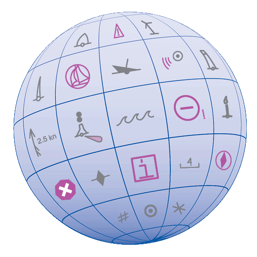 Several maritime nations produce their own versions of Chart 1. The U.S. Chart No. 1 describes the symbols used on paper nautical charts produced by NOAA and the National Geospatial-Intelligence Agency (NGA). The new U.S. Chart No. 1 is the first “Chart 1” produced by any country to show paper and electronic chart symbology side by side.
Continue reading “U.S. Chart No. 1 moves into electronic age”
News and Updates