NOAA encourages all mariners to use NOAA ENC® for latest updates and other advantages
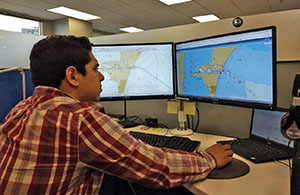
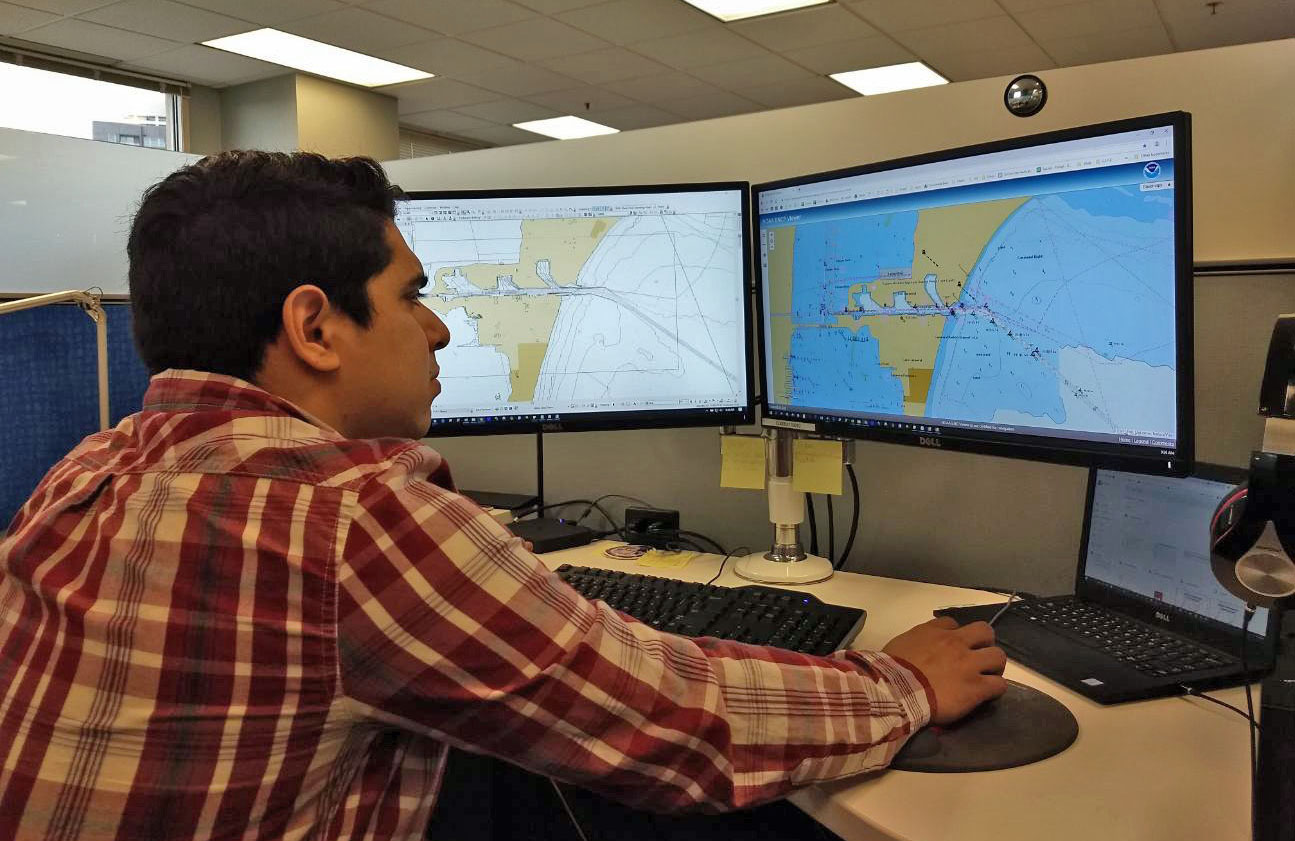
Cartographer Julio Castillo reviews controlling depths in the
Canaveral Barge Canal in Florida on ENC US5FL82M.
In Coast Survey’s recent
blog post, the Marine Chart Division (MCD) explains the electronic navigational chart (ENC) focused production process called “ENC-first” and encourages all mariners to use NOAA ENC® as their primary navigational product. MCD compiles new source data and critical corrections into NOAA’s ENC production database first and then to the corresponding paper charts and their associated digital raster products. Because new chart source data is applied to ENCs first, there can be a delay of a month or more before the same information appears on paper nautical charts and their raster chart equivalents. This is a characteristic of the standard production process and enables NOAA to provide the public with updated information as early as possible – in ENCs. To learn more about the advantages of using NOAA ENC visit our
blog or contact
Colby.Harmon@noaa.gov.
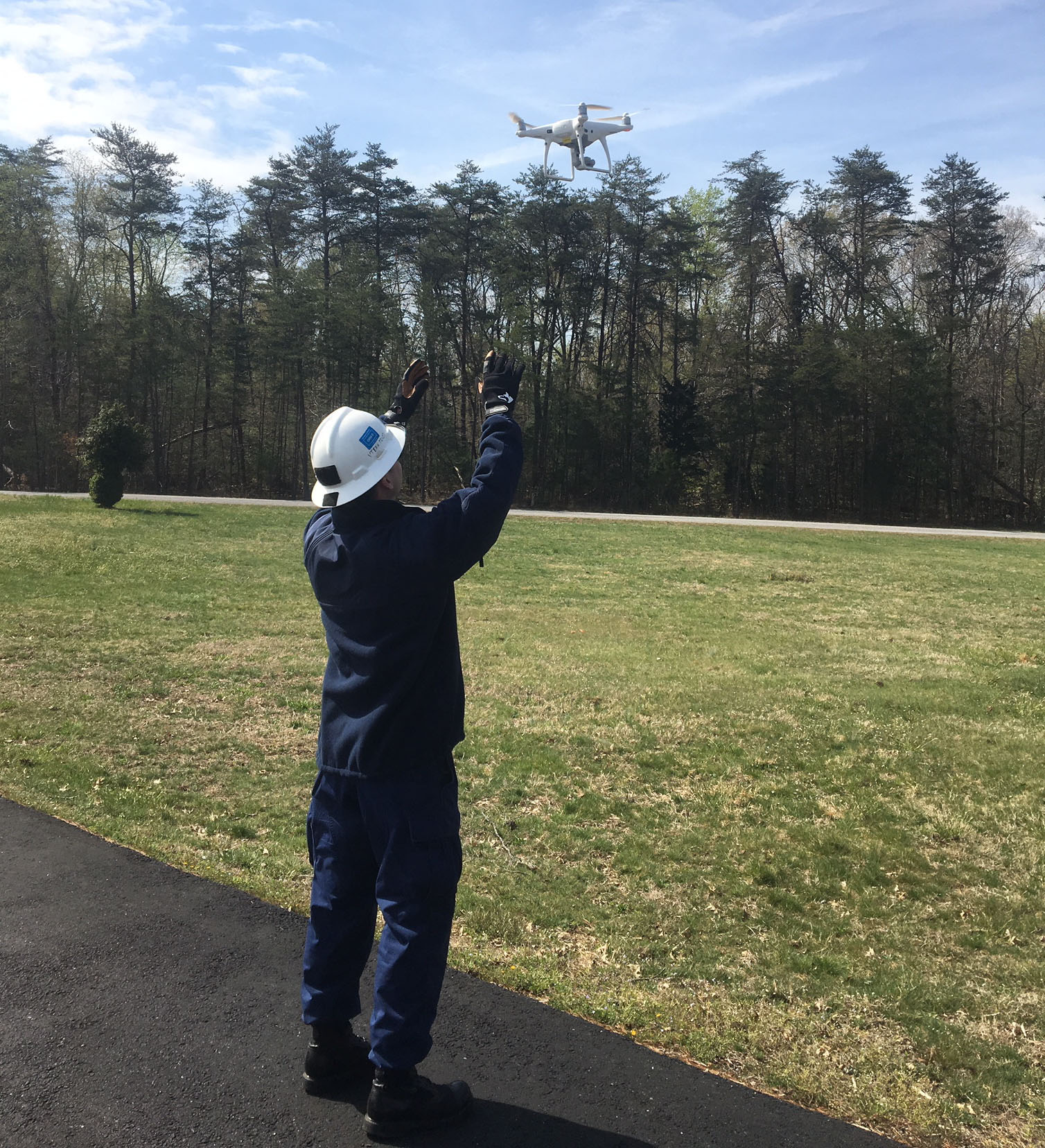
Coast Survey and National Geodetic Survey personnel attend unmanned aircraft systems training
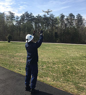
Lt. j.g. Matthew Sharr with an unmanned aircraft system in
Woodford, VA.
John Doroba and
Lt. j.g. Matthew Sharr of CSDL, as well as National Geodetic Survey (NGS) personnel, attended unmanned aircraft systems (UAS) training from April 9 to April 11, 2019, at the NGS Training and Testing Center, located in Woodford, VA. The classroom portion of the training focused on the fundamentals of unmanned flight, various mapping and data processing applications, a number of safety and security controls, and exposed students to the many policies that govern UAS operations. The field portion of the training introduced new pilots to safe, legal, and efficient UAS operations. This training satisfied NOAA’s manufacturer equivalent training requirement and will allow each student to become a NOAA qualified Pilot-in-Command (PIC) after completing their Federal Aviation Administration Part 107 remote pilot certification. These steps in training key personnel will lead to a wider standardized UAS training program, designed specifically for ship and small boat-based field operations. For more information contact
Matthew.Sharr@noaa.gov.
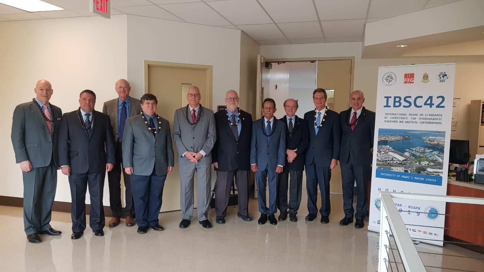
International Board reviews educational programs seeking Category A or Category B recognition

From left to right: Gordon Johnston, UK, FIG;
Leonel Pereira
Manteigas, Portugal, IHO;
Andy Armstrong, U.S., IHO;
Nickolas Roscher, Brazil, IHO;
Adam Greenland, New
Zealand, FIG, Chair;
Ron Furness, Australia, ICA;
Sobri
Syawie, Indonesia, FIG;
Lysandros Tsoulos, Greece, ICA;
Rod Nairn, Australia, IHO;
Alberto Costa Neves, IHO,
Secretary.
Coast Survey, the
Joint Hydrographic Center (JHC), and the
University of Hawaii Marine Center hosted the 46th meeting of the International Federation of Surveyors/International Hydrographic Organization/International Cartographic Association (FIG/IHO/ICA)
International Board on Standards of Competence for Hydrographic Surveyors and Nautical Cartographers (IBSC) March 25 to April 5 at the University’s seaport facility in Honolulu.
Andy Armstrong, co-director of JHC is an IHO-appointed member of the 10-member IBSC, which also includes FIG- and ICA-appointed members. The IBSC heard presentations and reviewed submissions from 17 educational programs seeking Category A or Category B recognition. The IBSC drafts and maintains IHO Standards S-5A and 5B, and S-8A and 8B, which prescribe standards of competence for the education and training of hydrographers and nautical cartographers, respectively. The standards are implemented internationally in such educational programs as the Joint Hydrographic Center Category A Hydrography Program at the University of New Hampshire and the NOAA Coast Survey Category B Nautical Cartography Program in Silver Spring. Programs meeting the standards are granted recognition for a period of 6 years, after which a new submission for continued recognition is required.
For more information contact
Andy.Armstrong@noaa.gov.
NOAA Ship Thomas Jefferson holds change of command ceremony

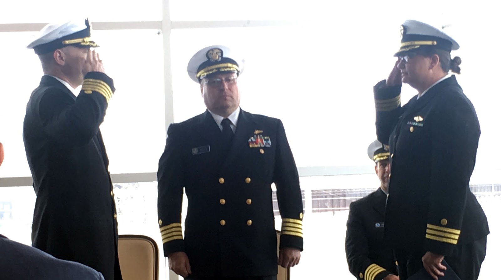
Cmdr. Briana Welton Hillstrom (right) accepts command of
NOAA Ship Thomas Jefferson, replacing Capt. Chris van
Westendorp (left) as Capt. David Zezula facilitates the
exchange (middle).
Cmdr. Briana Welton Hillstrom accepted command of NOAA Ship Thomas Jefferson on April 12 in Brooklyn, NY, relieving
Capt. Christiaan van Westendorp in a ceremony led by
Capt. David Zezula, commanding officer of
Marine Operations Center-Atlantic. As commanding officer of a NOAA ship, Cmdr. Hillstrom assumes ultimate responsibility for the ship, its activities, and the safety of all aboard. She previously served as the chief of Coast Survey’s Atlantic Hydrographic Branch, commanding officer of NOAA Ship
Ferdinand R. Hassler, operations officer aboard NOAA Ship
Fairweather, and a junior officer aboard NOAA Ship
Rainier. Congratulatory remarks were had for Capt. van Westendorp as he moves on to his next role as chief of Coast Survey's Navigation Services Division. During his tenure as commanding officer, van Westendorp completed 32 surveys in total, 20 of which were in Puerto Rico and the U.S. Virgin Islands in response to Hurricane Maria. Distinguished guests at the ceremony included Mr. Michael Burten, deputy director for constituent affairs, U.S. Senator Gillibrand, GMD Shipyard Corporation partners, and commands of U.S. Coast Guard Cutter
Diligence (WMEC-616) and NOAA Ship
Ferdinand R. Hassler. For more information contact
Briana.Hillstrom@noaa.gov.
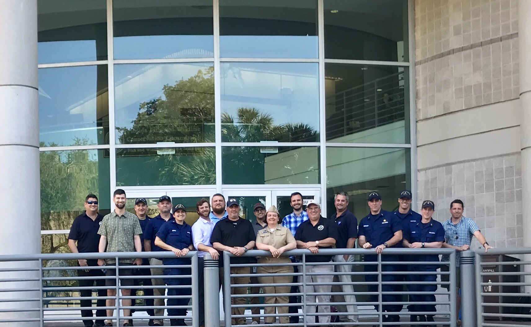
Navigation Response Branch prepares for upcoming season
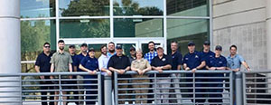
From left to right: Dan Jacobs, Eli Smith, Cmdr. Jay Lomnicky,
Wes Rowland, Lt. j.g. Michelle Levano, Alex Ligon, Joshua
Bergeron, Christopher Hare, Michael Annis, Cmdr. Olivia
Hauser, Eric Younkin, Rob Mowery, James Kirkpatrick, Lt. j.g.
Patrick Debroisse, Lt. j.g. Dylan Kosten, Ens. Patrick Lawler,
Timothy Wilkinson.
Navigation Services Division's Navigation Response Branch (NRB) along with representatives from CSDL and Hydrographic Surveys Division met this week in St. Petersburg, FL, to discuss the NRB annual plan, challenges, and future direction of the branch. In addition to productive conversation, the
navigation response teams received training on data submission, setting up vessel of opportunity survey kits, and post processing techniques. For more information contact Cmdr. Jay Lomnicky at
chief.nrb.ocs@noaa.gov.
Mississippi River Commission hosts annual high water inspection
Coast Survey Director
Rear Adm. Shepard Smith recently attended the
Mississippi River Commission annual high water inspection. The commission held public meetings aboard the Motor Vessel
Mississippi in Kentucky, Tennessee, Mississippi, and Louisiana, giving the presidentially-appointed commission members an opportunity to meet with local partners, stakeholders, and residents to hear their concerns, ideas, and issues. President Barack Obama appointed Smith to the commission in 2016. Smith is one of seven members of the commission whose authority extends the length of the Mississippi River from Minnesota to Louisiana. Duties of the commission include recommending policy and work programs, studying and reporting on the necessity of modifications or additions to flood control and navigation projects, and conducting semi-annual (high and low water) inspection trips to maintain a dialogue among watershed interests, the public, and the Army Corps of Engineers. For more information contact
Elizabeth.Kretovic@noaa.gov.