July 31, 2019
Hi everyone,
For those of you who don’t know me, I’m Dr. Shachak Pe’eri, chief of the Cartographic Support Branch in the Marine Chart Division (MCD). My primary job is to oversee the functions that include streamlining sources for chart production, generating a production workflow, rescheming our current chart suite, designing new distribution methods, and developing a custom chart production. Our branch comprises four portfolios that work closely together to improve chart production and distribution. If you recall, Mike Brown, MCD’s deputy division chief, described our new branch in a previous newsletter.
In addition to working with highly skilled and experienced cartographers in our branch, one of my passions is education and building capacity both in NOAA and the international community. I see the Office of Coast Survey as both a professional workplace and an educational center that provides NOAA employees and visiting scholars from international offices an opportunity to learn about new ocean mapping technologies and how to apply them. The cartographic and hydrographic communities should follow international standards and learn from their peers’ experiences on best practices and how to resolve operational issues.
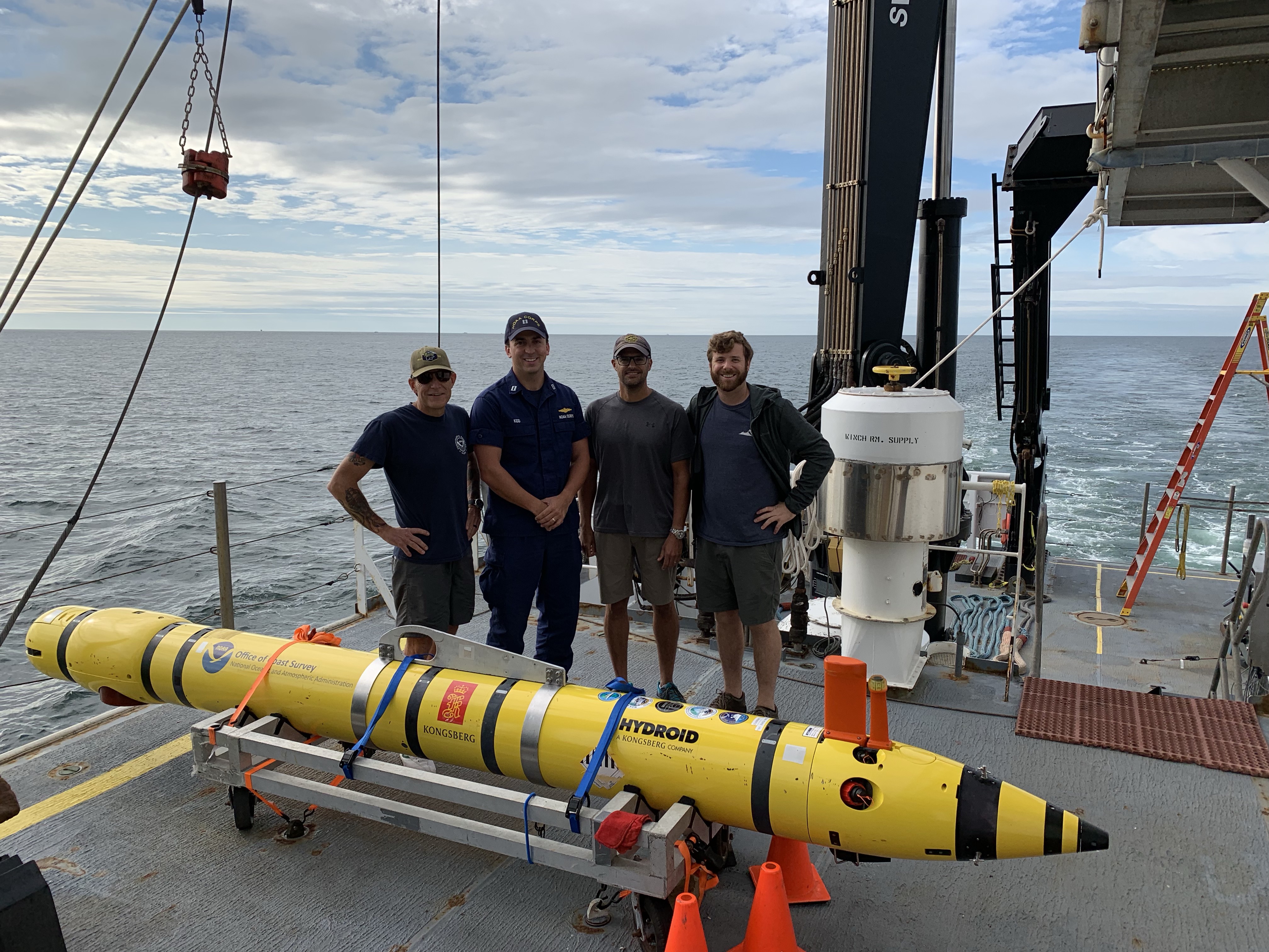
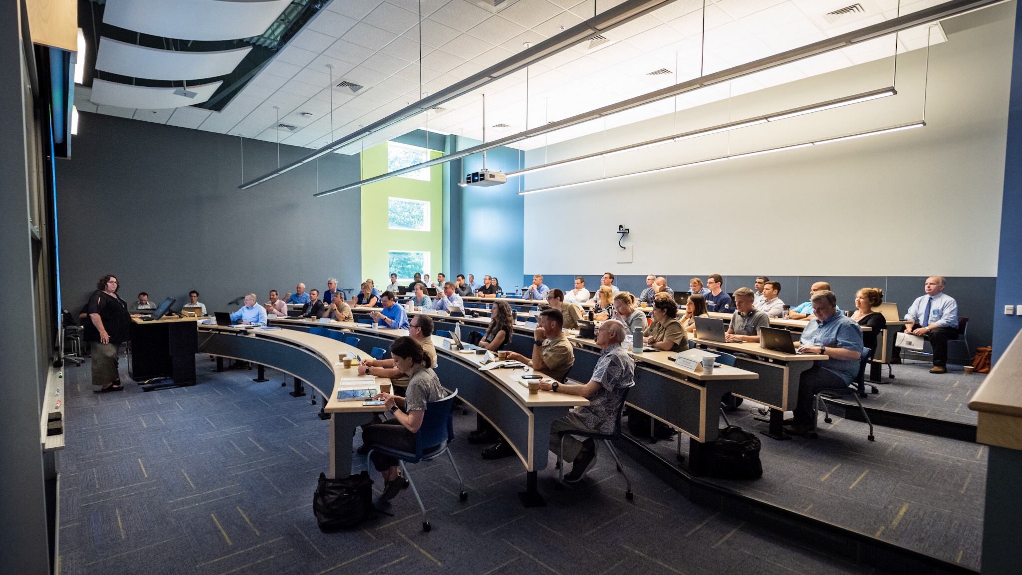
We just wrapped up an incredible week here at Coast Survey where we conducted the Chart Adequacy Workshop, hosted delegations from South Korea and France, and held our annual NOAA Nautical Cartography Open House. Twelve international students completed the workshop, and the open house saw a record number of attendees. You can read about some these activities below and on our blog.
Additionally, the second class of NOAA’s certification program in nautical cartography (CAT-B) is in the final month of their program. This internationally-approved training program certifies NOAA nautical cartographers academically, making NOAA an expert in the global cartographic community. I look forward to their accomplishment and identifying the next group of students. The announcement for next year’s (2020-2021) CAT-B certification program will be announced in January 2020, for anyone interested in applying.
Finally, it was a great honor to be recognized by the Department of Commerce with the Gears in Government Award for developing the CAT-B program here at Coast Survey. I feel the credit needs to be shared with my colleagues who have helped me every step of the way: Colby Harmon, Megan Bartlett, Christie Ence, John Macek, Tara Wallace, Andres Garrido, LaTonya Wilson, Noel Dyer, Patrick Chauvet, Guillaume Auclert, Jenny Thacker, Rob Ciepiela, Sean Legeer, Craig Winn, Mei-Ling Freeman, Gerald Koehl, Lance Roddy, Chris Libeau, Sladjana Maksimovic, Diane Melancon, Ellen Sanford, Paul Gionis, Lori Powdrell, Ben Galdi, and Neil Weston.
Dr. Shachak Pe'eri
Chief, Cartographic Support Branch, MCD