July 18, 2018
Hello Coast Survey,
It's been a busy year for the Integrated Ocean and Coastal Mapping Program! We have been working on policies and initiatives like critical minerals, surveying and mapping in the Arctic, crowdsourced bathymetry and Seabed 2030, the global initiative to map the world's oceans by 2030.
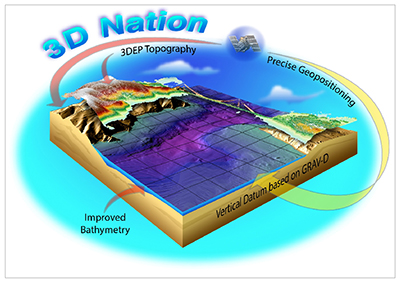
One project we have spent a considerable amount of time on is the 3D Nation Requirements and Benefits Study, with a formal survey of elevation data needs underway across the nation. The concept of 3D Nation was developed with colleagues at the U.S. Geological Survey (USGS) in an effort to better coordinate our elevation programs (USGS for topographic lidar, NOAA for positioning and coastal/ocean survey and mapping) and demonstrate the value of elevation data to the nation.
To be competitive and commercially successful in the 21st century, a nation should be GPS-enabled and ready with 3D maps to capitalize on all that GPS positioning accuracies can offer. Critical decisions are made across our nation every day that depend on elevation data, ranging from immediate safety of life and property and economic decisions (like shipping and navigation) to long term planning for infrastructure projects (including ports). We also depend on this to manage our natural resources and plan ahead for sustainable use, protection, and enjoyment of the environment.
The United States is GPS-enabled, but lacks a solid three-dimensional foundation; in other words, our maps are holding us back. Elevation data for heights and depths nationwide — on land and underwater — are insufficient to meet the challenge. The vision of 3D Nation is for the United States to have a seamless and accurate elevation surface from the tops of our mountains to the depths of the seas.
The 3D Nation study is a survey of user needs for elevation data now and in the future, and an analysis of the benefits that comprehensive elevation data could provide. It builds on the 2011 National Enhanced Elevation Assessment, which continues to positively impact the steady acquisition of topographic lidar data across the nation even today. Our 3D Nation study updates the NEEA but adds the bathymetric component for a complete look (both height and depth) at the nation’s requirements for elevation data. We will factor the results of the survey into how federal mapping agencies — NOAA, USGS, and other partners like U.S. Army Corps of Engineers and the Bureau of Ocean Energy Management — can work together to target resources most effectively to meet the elevation data needs of stakeholders going forward.
To learn more, visit the 3D Nation study confluence site. Feel free to email me with questions.
Enjoy the summer!
Ashley ChappellIntegrated Ocean and Coastal Mapping Coordinator


Daniel Determan, the new NGS regional advisor for Washington, Oregon, and Idaho reported to NOAA in June 2018. He started with an orientation in Silver Spring, and is now permanently located at the Western Regional Center in Seattle, Washington. His desk is co-located with the Pacific Hydrographic Branch, and Coast Survey looks forward to learning from and collaborating with him. Prior to NOAA, Dan was working as a geodesist and GPS network coordinator with the U.S. Geological Survey. In that position, Dan was responsible for the operation and maintenance of more than 140 permanent, continuously-operating GPS stations used for crustal deformation monitoring and for Earthquake Early Warning (EEW). Daniel has over 24 years of federal service in cartography, geodesy, and geophysics.
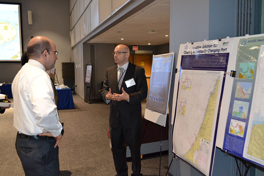
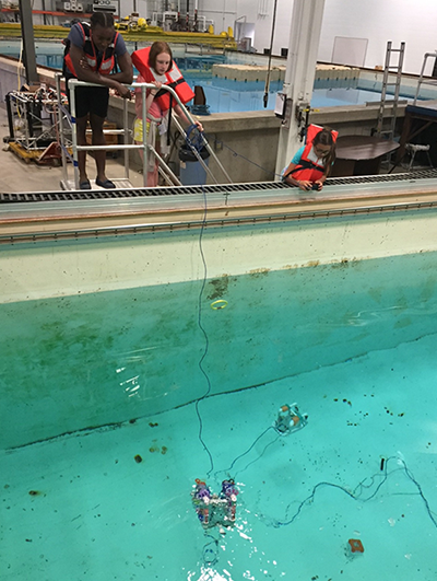
It's time to register! NOAA's 2018 Nautical Cartography Open House is on Friday, July 27. This event is open to the public but advance registration is required. Send your name and organization to nauticalcartography@noaa.gov to register.
7/23-25 - 2018 Chart Adequacy Workshop
7/27 - NOAA's 2018 Nautical Cartography Open House
8/1-3 - 8th Session of the UN Committee of Experts on Global Geospatial Information Management
8/20-24 - Mississippi River Commission Low Water Inspection
8/28-30 - Hydrographic Services Review Panel meeting in Juneau, Alaska

