 An
official website of the United States government.
Here's how you know we're official.
Autonomous Technology for Hydrographic Surveying

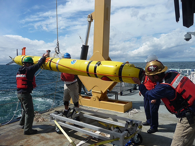
 Deck and survey crew of NOAA Ship Ferdinand R. Hassler during Office of Coast Survey's evaluation of
AUVs for charting applications.
Autonomous Systems
From self-driving cars to camera-equipped drones, the capabilities of unmanned systems are rapidly advancing. NOAA's Office of Coast Survey has been investigating the use of autonomous survey systems to support hydrographic survey operations since 2004. The goal is to explore how autonomy provides more efficient and effective acquisition of environmental data to support NOAA's navigation products and services.
Coast Survey's Autonomous Systems Strategy