 An
official website of the United States government.
Here's how you know we're official.
An
official website of the United States government.
Here's how you know we're official.
An
official website of the United States government.
Here's how you know we're official.
An
official website of the United States government.
Here's how you know we're official.
Why and where we survey
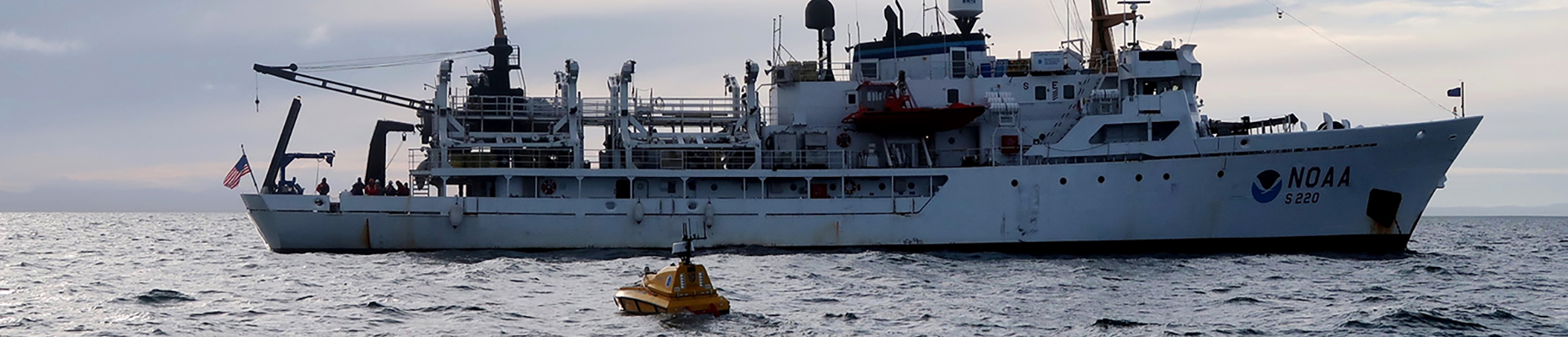
Coast Survey acquires and processes the nation's bathymetry and is the authoritative source for all offshore depth data within the 3.6 million square nautical mile area extending from the coastline out to the limits of the United States' Exclusive Economic Zone (EEZ). In accordance with Integrated Ocean and Coastal Mapping (IOCM) principles of "map once, use many times," the bathymetry collected serves many uses beyond just nautical charting.
Hydrographic Surveys Support Multiple Uses
Maritime CommerceData acquired as part of this effort is accomplished via dedicated NOAA assets, such as the Office of Marine and Aviation Operations (OMAO) fleet and navigation response teams, or with our established hydrographic surveying contract partners. This data undergoes a rigorous quality control process before being applied to the chart.
NOAA Researchers and Academia
Given Coast Survey's long-standing reputation for high quality bathymetric data, its data is often the
basis for significant research, both inside and outside of NOAA. Coast Survey regularly partners with
federal, state, and local entities to identify areas where bathymetric data would address specific
research needs.
Data acquired for research is often a collaborative effort, through U.S. campaigns and operations such as the Expanding Pacific Research and Exploration of Submerged Systems project (EXPRESS) and Atlantic Seafloor Partnership for Integrated Research and Exploration (ASPIRE) campaigns.
Baseline Bathymetric Data
In order to understand changes to an environment, baseline data is needed. Coast Survey is working
closely with IOCM and the Seabed 2030 project to
completely "map" the EEZ. This effort will provide a 100 meter resolution grid populated with "modern"
(post-1960) data that can be used as a baseline for all manner of research and economic activities as
mentioned in the Presidential Memorandum on Ocean Mapping.
Data acquired as part of this effort can take many forms, from formal surveys to opportunistic data acquired as part of research cruises or offshore projects. This external source data may be used to update the nautical chart, once it has been processed and evaluated.
Where does the data go?
Hydrographic survey data acquired for any of the efforts outlined above is generally stored at the National Centers for Environmental Information and is publically available. The data will also be ingested into the National Bathymetric Source project to provide an authoritative depth layer for the US EEZ.
An Ocean Mapping Strategy
 Ocean
Mapping Plan
Ocean
Mapping PlanAs part of NOAA's ongoing commitment to meet core surveying and nautical charting mandates while also supporting broader needs to fill gaps in seafloor mapping and supporting environmental sciences, Coast Survey released the strategy: "Mapping U.S. Marine and Great Lakes Waters: Office of Coast Survey Contributions to a National Ocean Mapping Strategy."
The plan highlights Coast Survey's contributions to implementing the Presidential Memorandum on Ocean Mapping of the United States Exclusive Economic Zone and the Shoreline and Nearshore of Alaska and the recently-released National Strategy for Mapping, Exploring, and Characterizing the United States Exclusive Economic Zone (NOMEC).
The plan builds on the momentum in support of ocean mapping efforts driven by new and emerging technologies, such as unmanned systems, artificial intelligence, and cloud computing.