The Interagency Working Group on Ocean and Coastal Mapping announces progress on mapping U.S. ocean, coastal, and Great Lakes waters

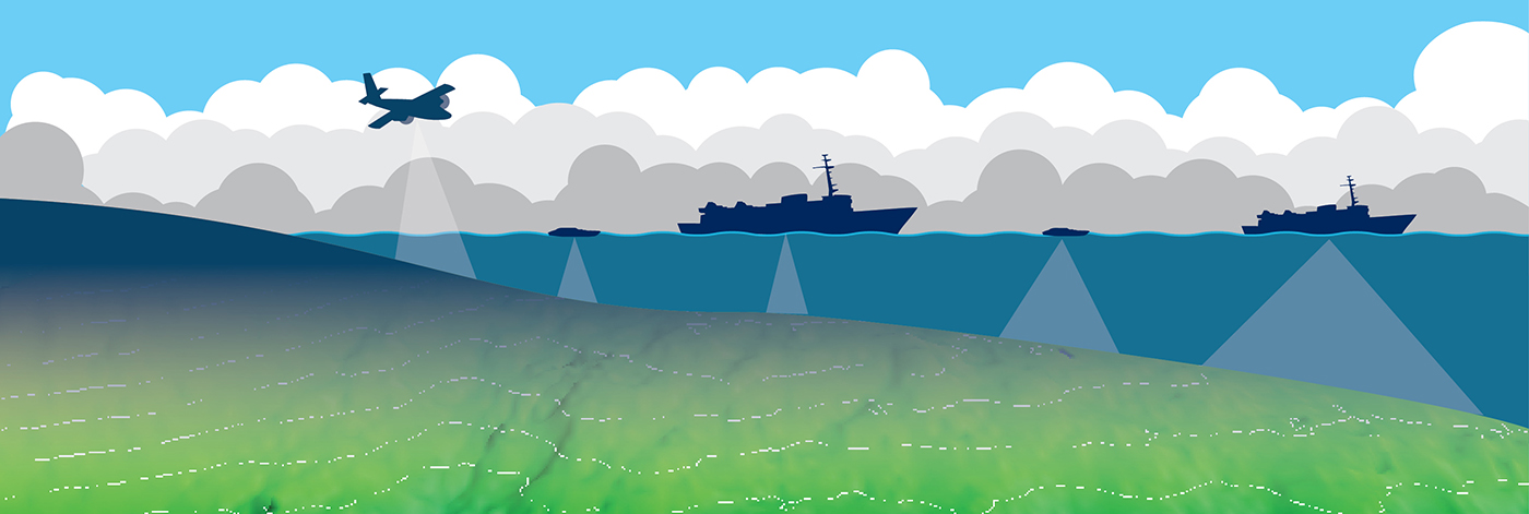
The federal Interagency Working Group on Ocean and Coastal Mapping recently released the sixth annual report on progress made in mapping U.S. ocean, coastal, and Great Lakes waters. To safeguard our national security and economic prosperity, ocean mapping, exploration, and characterization is foundational to maritime commerce, domestic energy and seafood production, tourism and recreation, and understanding of our natural resources, among other interests. The 2020 National Strategy for Mapping, Exploring, and Characterizing the United States Exclusive Economic Zone (NOMEC) makes comprehensive ocean mapping a priority for the coming decade. The Unmapped U.S. Waters report tracks progress toward these important goals.

Continue reading “The Interagency Working Group on Ocean and Coastal Mapping announces progress on mapping U.S. ocean, coastal, and Great Lakes waters”

Ancient river systems, glacial grooves, and steep cliffs discovered near Cape Fear, North Carolina

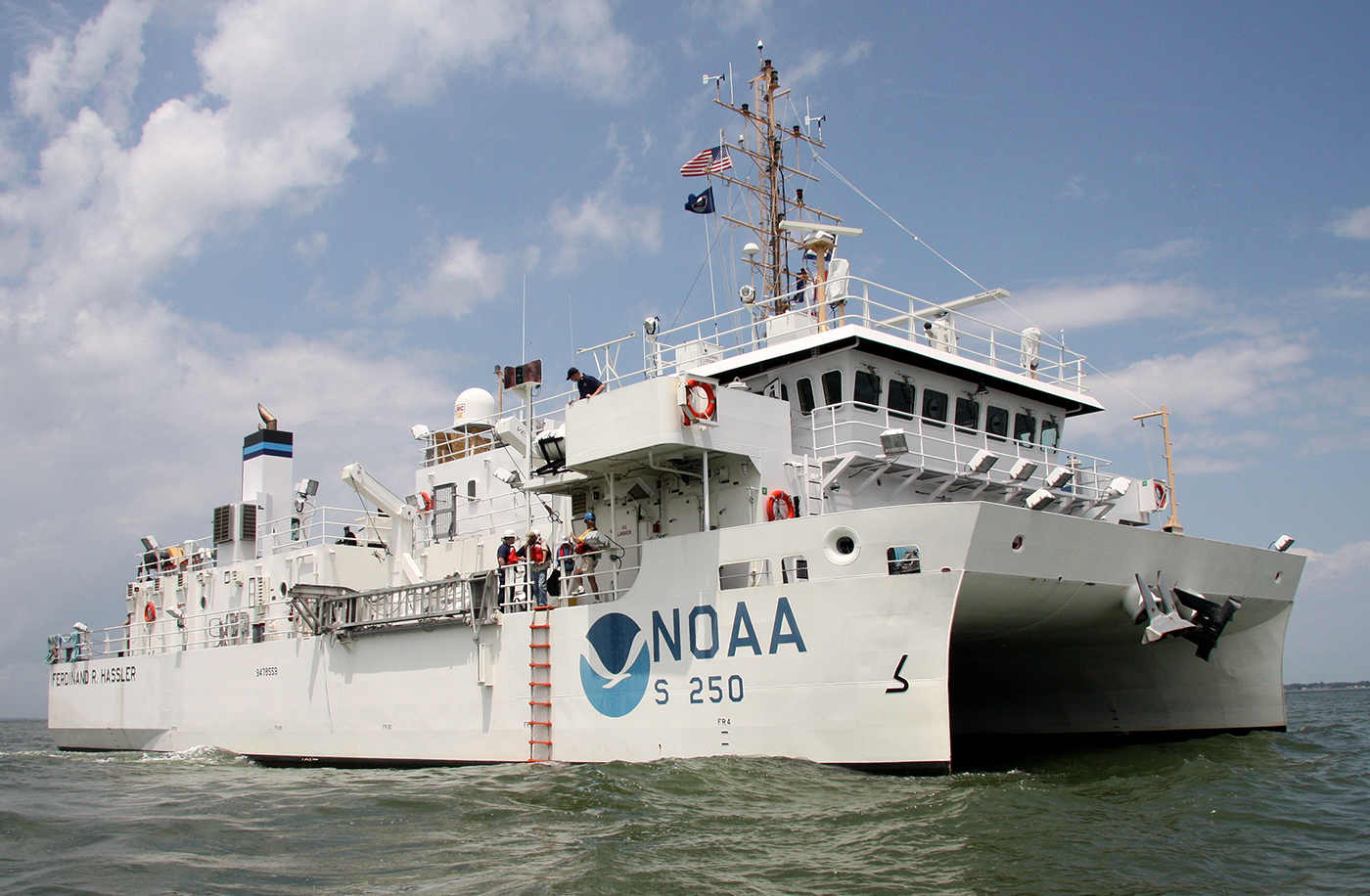
An image of NOAA Ship Ferdinand R. Hassler.

A View into the History of the Cape Fear Region–Tens of Thousands of Years into the Past

By Cmdr. William Winner

Over the spring and summer of 2024, NOAA Ship Ferdinand R. Hassler surveyed an area southeast of Cape Fear, North Carolina. This area is unique to the East Coast of the United States—whereas most of the East Coast’s seabed is sandy and has large areas of sand waves, this area does not have as much deep sand cover and instead features exposed underlying bedrock.

Continue reading “Ancient river systems, glacial grooves, and steep cliffs discovered near Cape Fear, North Carolina”

Coast Survey responds to the D.C. midair collision: a timeline

On January 29, 2025, a commercial jetliner and a U.S. Army helicopter collided in midair over the Potomac River, near Washington’s Ronald Reagan National Airport. On February 2, the U.S. Coast Guard and District of Columbia Fire Department requested NOAA Coast Survey’s expertise in hydrographic surveying in order to locate wreckage from the incident using multibeam and side scan sonar technology. Once Coast Survey arrived, the incident command team turned over virtually all survey operations, particularly in the shallow water debris field, to our field units.

Continue reading “Coast Survey responds to the D.C. midair collision: a timeline”

NOAA’s 2025 hydrographic survey season is gearing up and will be underway soon

An image showing a red uncrewed surface vessel and NOAA Ship Thomas Jefferson on Lake Erie in the vicinity of Cleveland, Ohio

The winter months represent an end to NOAA’s active survey season. During this period, hydrographic survey ships, navigation response team survey vessels, and contractor teams and vessels undergo maintenance and repair in anticipation of the upcoming survey season. NOAA’s 2025 survey season will begin soon as planned survey projects go through the planning and development process and begin to filter to the forefront of each field party’s focus. The ships and survey vessels collect bathymetric data (i.e. map the seafloor) to support nautical charting, modeling, and research, but also collect other environmental data to support a variety of ecosystem sciences. NOAA considers hydrographic survey requests from stakeholders such as marine pilots, local port authorities, the Coast Guard, and the boating community, and also considers other hydrographic and NOAA science priorities in determining where to survey and when. Visit our “living” ArcGIS StoryMap to find out more about our mapping projects and if a hydrographic vessel will be in your area this year!

Continue reading “NOAA’s 2025 hydrographic survey season is gearing up and will be underway soon”

NOAA updates bridge clearances crossing one of the most important waterways in the United States

An image showing the Crescent City Connection Bridges taken from the left ascending bank of the Mississippi River with the city of New Orleans in the background.

The Port of New Orleans, is one of the largest ports in the United States. It spans both sides of the Mississippi River in the state of Louisiana, with its lower limit situated approximately 80 miles above the confluence of three major passes used to access the river from the Gulf of Mexico. The city of New Orleans serves as the primary commercial hub within the port’s limits. As one of the largest cities along the Gulf Coast, it is a natural gateway for trade, connecting the vast central and southern regions of the nation, particularly the entire Mississippi River Valley, via numerous inland water routes.

Continue reading “NOAA updates bridge clearances crossing one of the most important waterways in the United States”

Interagency science team collects ocean and weather data in the Arctic aboard U.S. Coast Guard Cutter Healy

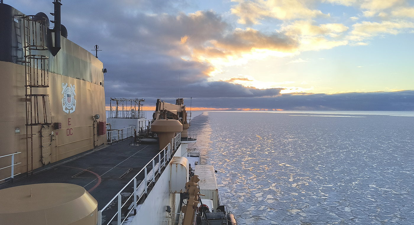
An image showing the side of the U.S. Coast Guard Cutter Healy looking towards her stern as she break a path through icy waters with the sun setting in the background.

In October through early November 2024, NOAA’s Office of Coast Survey, the University of New Hampshire, U.S. National Science Foundation, and U.S. Coast Guard partnered to complete a coordinated mapping mission along the north slope of Alaska aboard the U.S. Coast Guard Cutter Healy. Advancing the 2020 National Strategy on Ocean Mapping, Exploring, and Characterizing the U.S. Exclusive Economic Zone, the mission acquired depth data in uncharted waters along the Coast Guard-proposed Arctic shipping route, deployed a series of oceanographic buoys, and provided at sea training on interdisciplinary scientific expeditions for junior scientists. The mission capitalized on a rare opportunity to maximize data observations within a data-starved region in support of Seascape Alaska, a regional mapping campaign.

Continue reading “Interagency science team collects ocean and weather data in the Arctic aboard U.S. Coast Guard Cutter Healy”

NOAA’s nowCOAST improves BlueTopo access

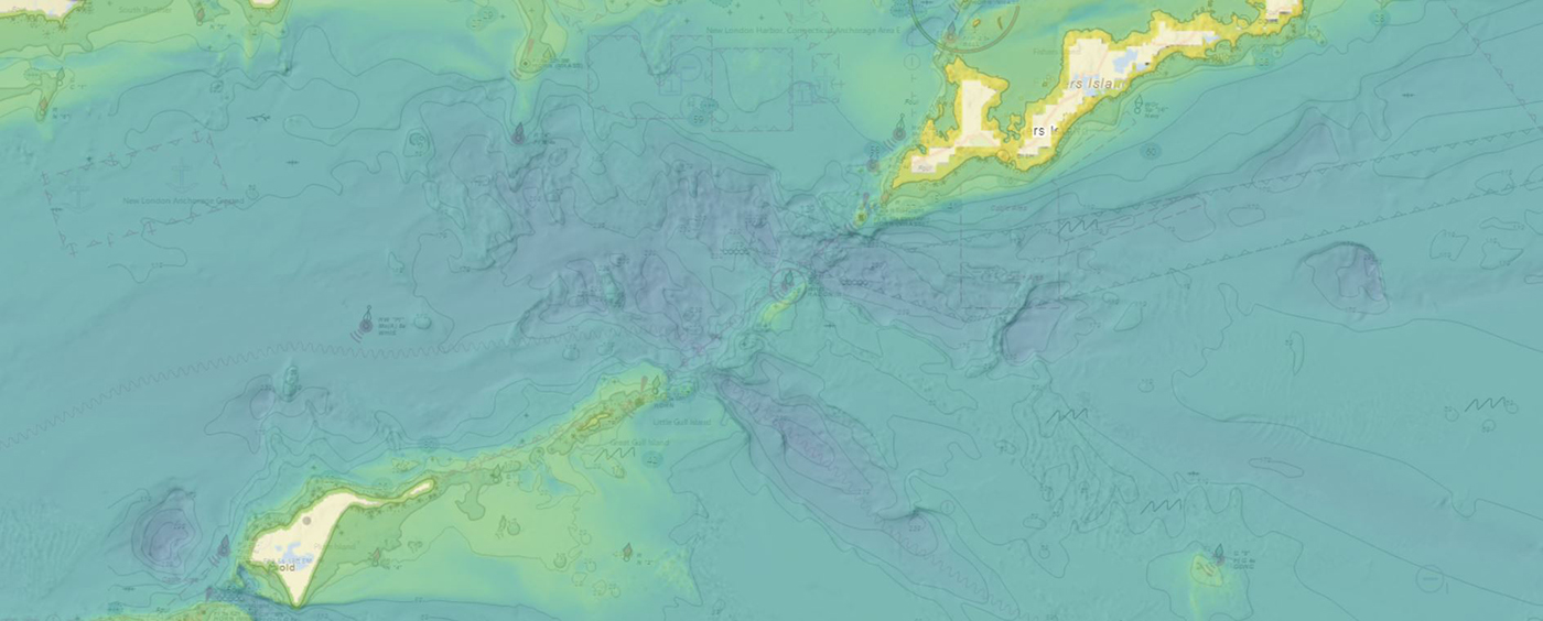
A screen capture of the BlueTopo data layer displayed in NOAA's nowCOAST showing the entrance to Long Island Sound.

NOAA’s Office of Coast Survey produces and maintains several types of data models and products, from operational forecast systems to nautical charts. One of these models comes from the office’s National Bathymetric Source, or NBS, program which creates and maintains high-resolution bathymetry composed of the best available data. Bathymetry is a term that refers to the depths and shapes of underwater terrain and is a visualization of the “beds” or “floors” of water bodies, including the ocean, rivers, streams, and lakes. This data model is available to the public in a product called BlueTopo.

Continue reading “NOAA’s nowCOAST improves BlueTopo access”

NOAA announces plans to survey Port Valdez and solicits proposals for 2026 funding opportunity

An image of a fishing boat with deployed fish net in calm water with mountains in the background.

The National Oceanic and Atmospheric Administration is pleased to announce a partnership with the City of Valdez for a hydrographic surveying project in Port Valdez. This project was selected for the Brennan Matching Fund from last year’s round of applicants and is slated to occur in 2025. The project will provide high resolution bathymetry and backscatter data over approximately 32.5 square nautical miles, and supply a contemporary baseline to help city emergency managers understand and prepare for potential impacts of submarine landslides.

Continue reading “NOAA announces plans to survey Port Valdez and solicits proposals for 2026 funding opportunity”

Data dissemination web interface supports navigation

Waves on the sea beach on a cloudy rainy day

Imagine navigating a vessel along the coast and planning the approach to your destination, whether that be a local marina or large vessel berth in a harbor. What factors affecting the movement of the vessel should you be aware of once underway and in transit through the entrance and into the port? These may include observations on the present and forecasted weather, water current speed and direction, water depths and tidal direction, and any anomalies or warnings that may exist. Knowing what these factors are will assist you in preparing your vessel for safe passage to the destination.

Continue reading “Data dissemination web interface supports navigation”

The Office of Coast Survey’s ongoing response to the Francis Scott Key Bridge disaster

An image of the largest outbound vessel in the Fort McHenry Channel since the Francis Scott Key Bridge collapse.

On Tuesday, March 26, 2024, the 984-foot M/V DALI allided with the Francis Scott Key Bridge near Baltimore, Maryland, sending the bridge tumbling into the Patapsco River, resulting in the tragic loss of six construction workers, and triggering a local, state, and federal response. Large sections of the bridge’s structure lay across the main shipping channel into the Port of Baltimore closing the deepest shipping lane into and out of the port, and resulting in an estimated loss of $15 million in daily economic activity for the area. All shipping traffic was diverted from the area, enabling first responders to conduct high-priority rescue and recovery operations and allowing highly trained salvage crews to begin the arduous task of removing bridge wreckage. Due to the amount of debris in the water, it was evident that salvage operations would take some time, and the priority at the time was to open the port for at least some vessel traffic.

Continue reading “The Office of Coast Survey’s ongoing response to the Francis Scott Key Bridge disaster”