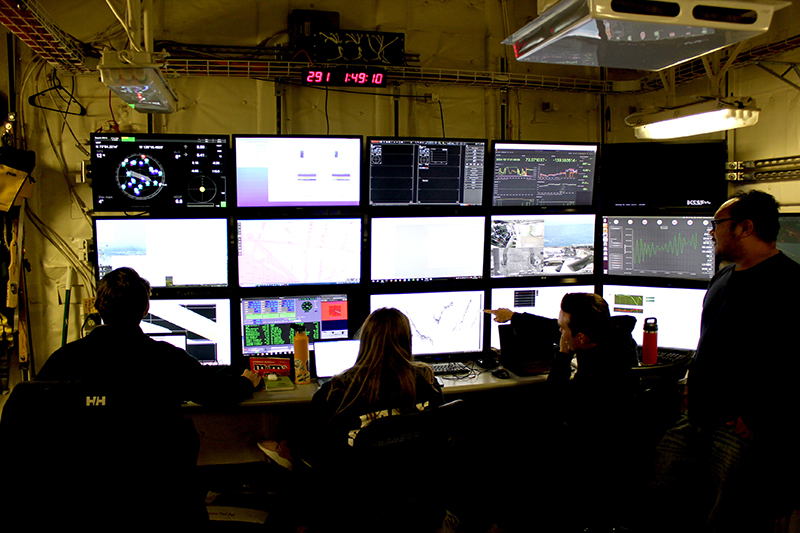
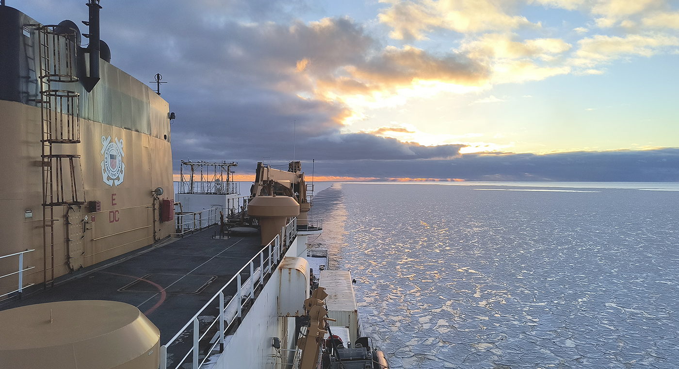
In October through early November 2024, NOAA’s Office of Coast Survey, the University of New Hampshire, U.S. National Science Foundation, and U.S. Coast Guard partnered to complete a coordinated mapping mission along the north slope of Alaska aboard the U.S. Coast Guard Cutter Healy. Advancing the 2020 National Strategy on Ocean Mapping, Exploring, and Characterizing the U.S. Exclusive Economic Zone, the mission acquired depth data in uncharted waters along the Coast Guard-proposed Arctic shipping route, deployed a series of oceanographic buoys, and provided at sea training on interdisciplinary scientific expeditions for junior scientists. The mission capitalized on a rare opportunity to maximize data observations within a data-starved region in support of Seascape Alaska, a regional mapping campaign.
Through a remarkable collaboration between the U.S. Coast Guard, National Oceanic and Atmospheric Administration (NOAA), U.S. National Science Foundation, and the University of New Hampshire, the U.S. Coast Guard Cutter Healy and the supporting science team successfully completed the first two phases of the icebreaker’s 2024 Arctic fall deployment in the Chukchi and Beaufort Seas, offshore Alaska.
Led by the U.S. National Science Foundation and supported by hydrographic data experts from NOAA and the University of New Hampshire, the interagency science mission along the north slope of Alaska combined oceanographic buoy and mooring deployments with a coordinated mapping effort to survey uncharted waters and acquire depth data along the Coast Guard-proposed Arctic Port Access Route Study corridor, a critical transect from Utqiagvik, Alaska to the demarcation point of the border between the U.S. and Canada. As the Arctic warms at nearly four times the global rate, ice-free waters will make commercial shipping more attractive. Safe passage through this region is vital, and mapping data acquired along the proposed Arctic Port Access Route Study corridor will be instrumental as the Coast Guard finalizes their proposal for the route’s formal designation.

In addition to informing safe navigation, these bathymetric data are useful for understanding habitats and the geologic structure of the seafloor. As of January 2024, 73% of the U.S. Arctic waters extending to the outer limits of the U.S. Exclusive Economic Zone remain unmapped. This effort not only advances U.S. strategic goals to fully map the seafloor by 2030, but pulls together resources and expertise across the federal and academic sectors to facilitate knowledge sharing across disciplines and optimize precious time at sea.
Rear Adm. Ben Evans, Director of NOAA’s Office of Coast Survey and co-chair of the National Ocean Mapping, Exploration and Characterization (NOMEC) Council, noted, “Congratulations to the U.S. Coast Guard Cutter Healy team on rebounding from setbacks earlier this year and getting back to sea for this important multidisciplinary project. The NOMEC Strategy relies on strong coordination and partnerships like this to advance U.S. mapping goals. When the annual Progress Report on Unmapped U.S. Waters was released earlier this year, I flagged the importance of regional campaigns, such as Seascape Alaska, to instill the values of data sharing and coordinated acquisition, as well as serve as platforms to increase partnerships that leverage contributions of new and existing data from non-traditional mapping sectors. Your collaborative efforts serve as a model to others in the regional campaign.”
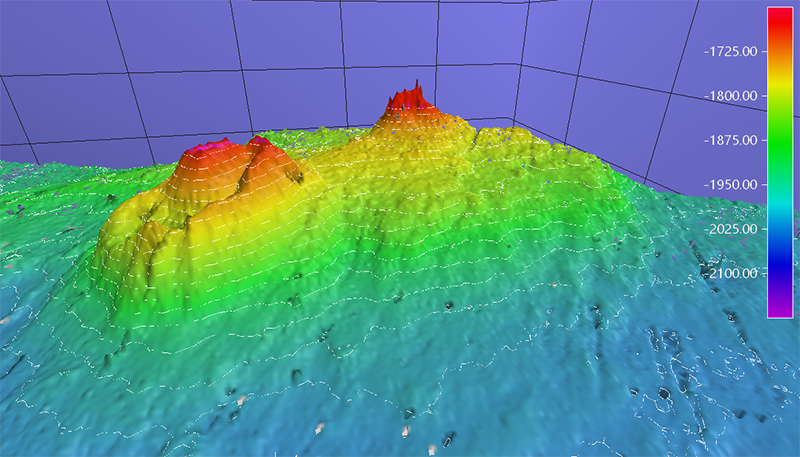
Mid-way through the first leg of the mission, the science party made an exciting discovery of a volcano-like feature rising 500 meters from the seabed. Further review of water column data over the feature revealed a possible gas plume extending upward from just above the feature towards the surface of the water. While review of the data are still underway, these observations yield an exciting glimpse into what can lie beneath the ocean’s surface.

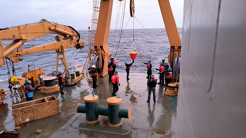
A series of buoys were deployed for the U.S. Interagency Arctic Buoy Program and International Arctic Buoy Program with support provided by the U.S. Coast Guard and the U.S. National Science Foundation-funded Ship-based Science Technical Support in the Arctic program. These buoys drift across the Arctic Ocean collecting oceanographic and meteorological data that are crucial for real-time meteorological predictions and sea ice research in a changing Arctic environment.

The second leg of Healy’s interagency mission supports the U.S. National Science Foundation-funded Polar Early Career Scientist Training project, with contributions from NOAA and the Coast Guard in the operational areas of the Chukchi and Beaufort seas and the marginal ice zone. This cruise began in Nome, Alaska on October 26 and ended on November 3, 2024. The primary goals are to provide at sea training and hands-on experience for junior scientists to gain the knowledge and skills that will prepare them to plan, implement, and lead interdisciplinary scientific expeditions on U.S. Arctic vessels in the future.


One Reply to “Interagency science team collects ocean and weather data in the Arctic aboard U.S. Coast Guard Cutter Healy”