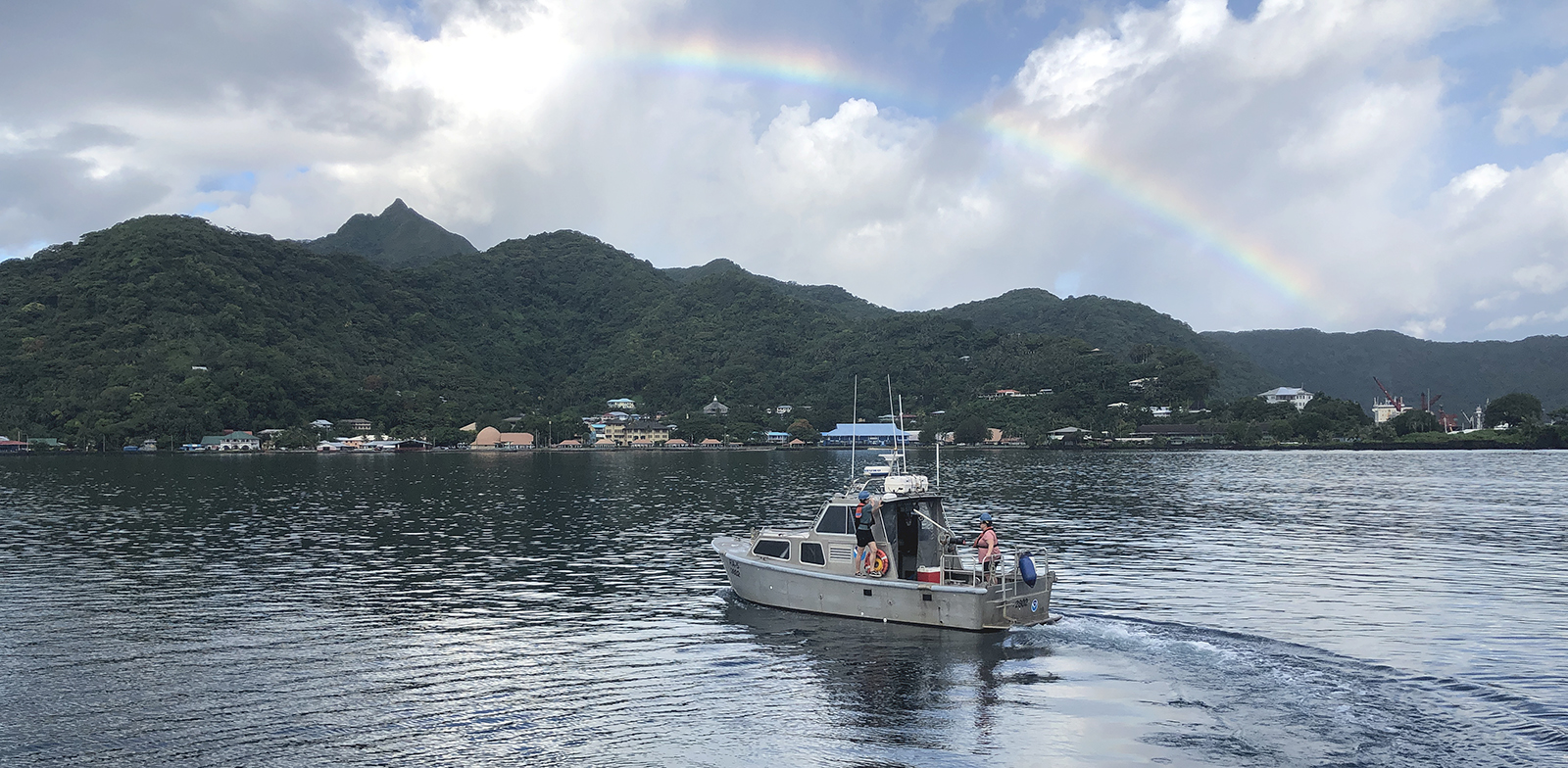
The winter months represent an end to NOAA’s active survey season. During this period, hydrographic survey ships, navigation response team survey vessels, and contractor teams and vessels undergo maintenance and repair in anticipation of the upcoming survey season. NOAA’s 2025 survey season will begin soon as planned survey projects go through the planning and development process and begin to filter to the forefront of each field party’s focus. The ships and survey vessels collect bathymetric data (i.e. map the seafloor) to support nautical charting, modeling, and research, but also collect other environmental data to support a variety of ecosystem sciences. NOAA considers hydrographic survey requests from stakeholders such as marine pilots, local port authorities, the Coast Guard, and the boating community, and also considers other hydrographic and NOAA science priorities in determining where to survey and when. Visit our “living” ArcGIS StoryMap to find out more about our mapping projects and if a hydrographic vessel will be in your area this year!
Continue reading “NOAA’s 2025 hydrographic survey season is gearing up and will be underway soon”Interagency science team collects ocean and weather data in the Arctic aboard U.S. Coast Guard Cutter Healy
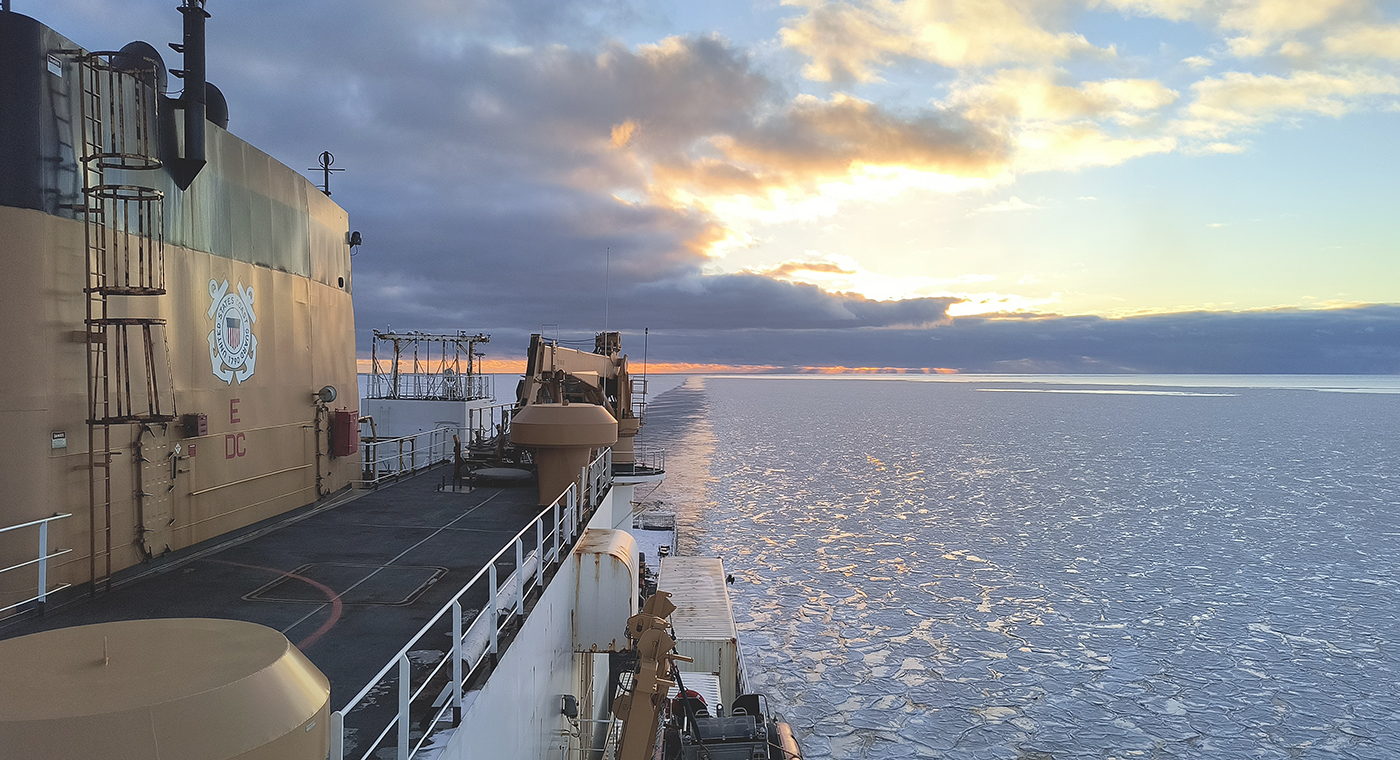
In October through early November 2024, NOAA’s Office of Coast Survey, the University of New Hampshire, U.S. National Science Foundation, and U.S. Coast Guard partnered to complete a coordinated mapping mission along the north slope of Alaska aboard the U.S. Coast Guard Cutter Healy. Advancing the 2020 National Strategy on Ocean Mapping, Exploring, and Characterizing the U.S. Exclusive Economic Zone, the mission acquired depth data in uncharted waters along the Coast Guard-proposed Arctic shipping route, deployed a series of oceanographic buoys, and provided at sea training on interdisciplinary scientific expeditions for junior scientists. The mission capitalized on a rare opportunity to maximize data observations within a data-starved region in support of Seascape Alaska, a regional mapping campaign.
NOAA’s nowCOAST improves BlueTopo access
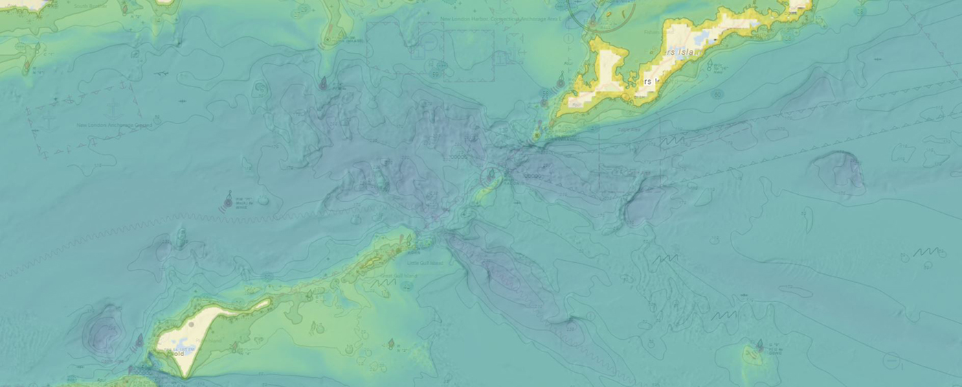
NOAA’s Office of Coast Survey produces and maintains several types of data models and products, from operational forecast systems to nautical charts. One of these models comes from the office’s National Bathymetric Source, or NBS, program which creates and maintains high-resolution bathymetry composed of the best available data. Bathymetry is a term that refers to the depths and shapes of underwater terrain and is a visualization of the “beds” or “floors” of water bodies, including the ocean, rivers, streams, and lakes. This data model is available to the public in a product called BlueTopo.
The Interagency Working Group on Ocean and Coastal Mapping announces the release of the Standard Ocean Mapping Protocol

The members of the federal Interagency Working Group on Ocean and Coastal Mapping (IWG-OCM) are thrilled to announce the release of the first Standard Ocean Mapping Protocol (SOMP)! The SOMP is a standardized technical protocol for acquisition, processing, and archiving of ocean and coastal mapping data. It was developed in support of National Strategy for Ocean Mapping, Exploring, and Characterizing the United States Exclusive Economic Zone (NOMEC) goals and is built from existing standards and best practices developed by the ocean and coastal mapping community.
NOAA’s 2024 hydrographic survey season is underway
The National Oceanic and Atmospheric Administration’s 2024 hydrographic survey season is ramping up and will be in full swing before too long. For the past few months, NOAA hydrographic survey ships, navigation response teams, and contractors have been diligently preparing for the upcoming field season. The ships and survey vessels collect bathymetric data to support nautical charting, modeling, and research, but also collect other environmental data to support a variety of ecosystem sciences. NOAA considers hydrographic survey requests from stakeholders such as marine pilots, local port authorities, the Coast Guard, and the boating community, and also considers other hydrographic and NOAA science priorities in determining where to survey and when. Visit our “living” ArcGIS StoryMap to find out more about our mapping projects and if a hydrographic vessel will be in your area this year!
Continue reading “NOAA’s 2024 hydrographic survey season is underway”


