 An
official website of the United States government.
Here's how you know we're official.
An
official website of the United States government.
Here's how you know we're official.
An
official website of the United States government.
Here's how you know we're official.
An
official website of the United States government.
Here's how you know we're official.
NOAA Center of Excellence for Operational Ocean and Great Lakes Mapping
NOAA's Center of Excellence for Operational Ocean and Great Lakes Mapping, located on the campus of the University of New Hampshire will work across NOAA to support and grow the nation's deep water, shallow water, and coastal mapping capabilities and data holdings, in partnership with the private sector. NOAA established the Center with designated funding from Congress to address the agency's required and treaty-based hydrographic mapping responsibilities.
The Center will support the full range of NOAA's ocean, coastal, and Great Lakes mapping projects and requirements, including the goals of the National Ocean Mapping, Exploration, and Characterization strategy (NOMEC), Seabed 2030, the Ocean and Coastal Mapping Integration Act, and the Hydrographic Services Improvement Act. This will benefit not only traditional users of mapping data such as nautical charting and ocean exploration, but also emerging users such as habitat mapping, marine modeling, and marine geospatial infrastructure.
Vision
The Center serves as NOAA's unified approach to applying advancements in the field, transitioning research into operations, training NOAA mapping workforce, and supporting operators in the field to implement. In particular, the Center is:
Technical Support
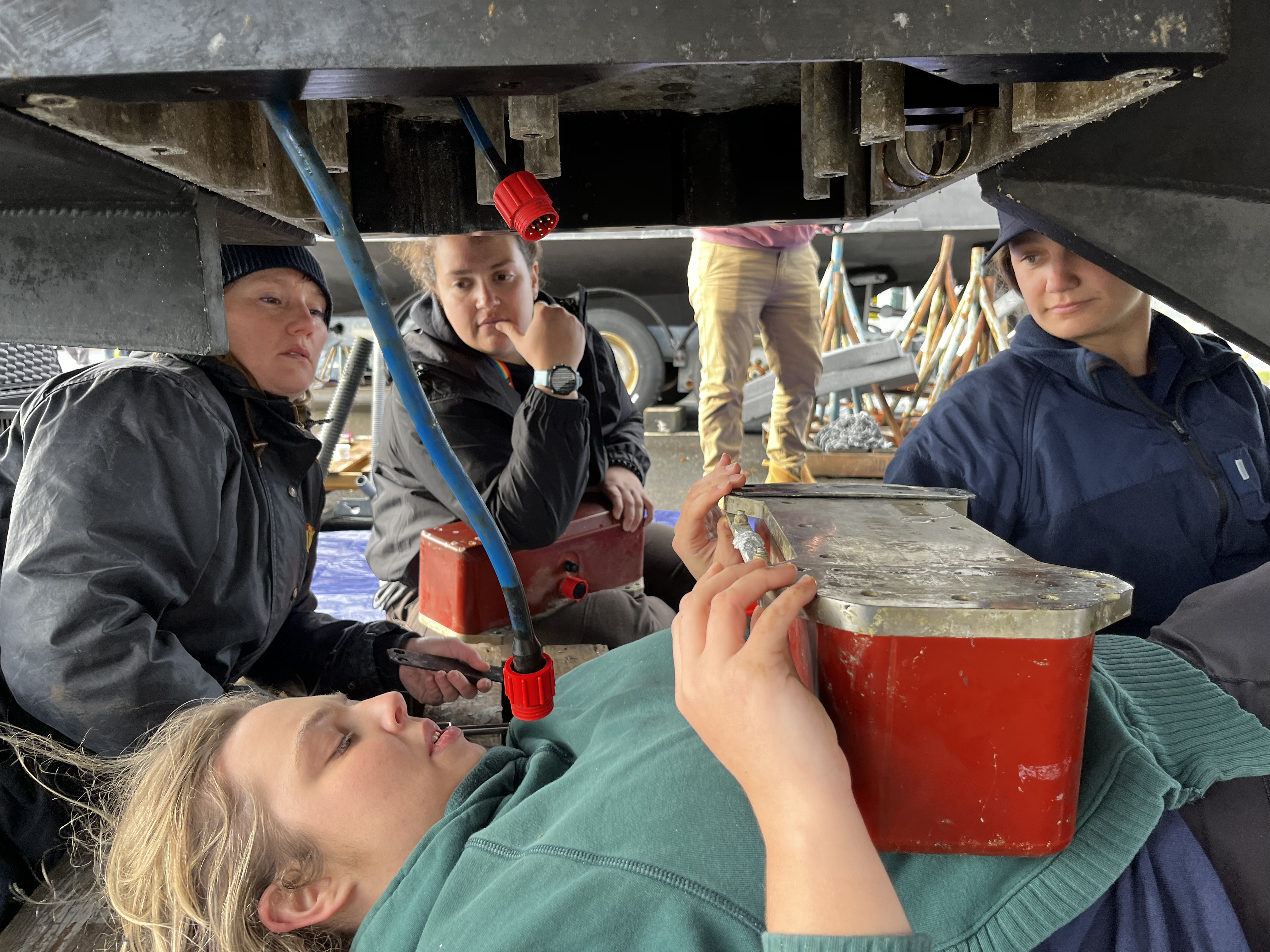 Survey technicians install a sonar, Systems
Integration Course 2024
Survey technicians install a sonar, Systems
Integration Course 2024
The Center provides technical expertise and systems support for NOAA's ocean and lake mapping operations on an increasingly diverse set of platforms, including new ships and uncrewed survey vessels. The Center will serve as a bridge between NOAA's Office of Marine and Aviation Operations (OMAO), Ocean Exploration and Research, and Office of Coast Survey, streamlining resources and leveraging expertise to support hydrographic survey assets and serve as a liaison with private industry representatives who provide training and system support for NOAA ocean and lake mapping missions. The Center continues to build a cohort of ocean mapping system support experts across NOAA programs, identifying what technical support the ships need and how to best provide those services to the NOAA fleet. The Center is:
The Center of Excellence will also develop high-bandwidth connectivity and cloud based data infrastructure to receive and interact with ocean mapping systems at sea and data from field units and other mapping platforms.
As such The Center will:
Training
The Center of Excellence is creating a NOAA ocean, coastal, and lake mapping competency structure to describe and build core competencies across NOAA offices and platforms. This will complement the International Federation of Surveyors, International Hydrographic Organization, and International Cartographic Association education and training standards, as reflected in International Hydrographic Organization Publications S-5A/S-5B, S-8A/S-8B, and The Hydrographic Society of America certification requirements. Competency certification is a key element in assuring that personnel are qualified to perform the complex tasks associated with producing authoritative hydrographic surveys and ocean/lake mapping products. The Center will:
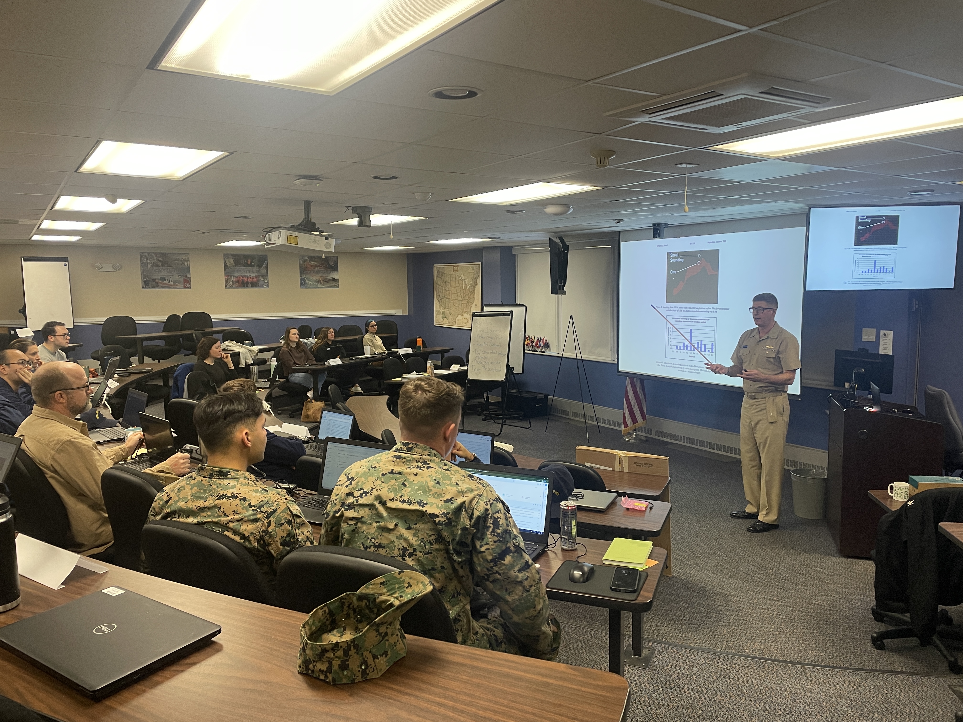 Basic Hydrography Course, 2024
The Center of Excellence is developing a strategic progression of basic, intermediate, and advanced ocean mapping training, focusing on equipment and software, underwater acoustic theory, and geospatial and other topical training courses. This progressive instruction, coupled with field experience, will allow employees and practitioners to grow in technical competence for career advancement. The Center will: