On January 29, 2025, a commercial jetliner and a U.S. Army helicopter collided in midair over the Potomac River, near Washington’s Ronald Reagan National Airport. On February 2, the U.S. Coast Guard and District of Columbia Fire Department requested NOAA Coast Survey’s expertise in hydrographic surveying in order to locate wreckage from the incident using multibeam and side scan sonar technology. Once Coast Survey arrived, the incident command team turned over virtually all survey operations, particularly in the shallow water debris field, to our field units.
Continue reading “Coast Survey responds to the D.C. midair collision: a timeline”Interagency science team collects ocean and weather data in the Arctic aboard U.S. Coast Guard Cutter Healy
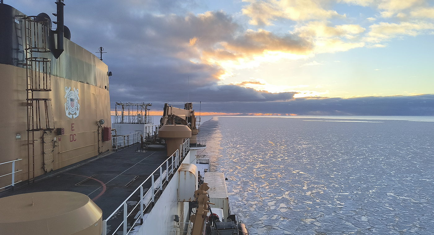
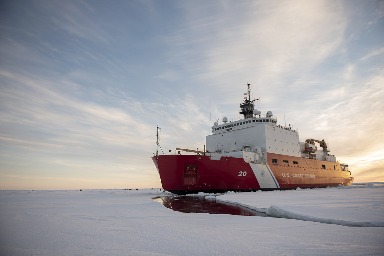
In October through early November 2024, NOAA’s Office of Coast Survey, the University of New Hampshire, U.S. National Science Foundation, and U.S. Coast Guard partnered to complete a coordinated mapping mission along the north slope of Alaska aboard the U.S. Coast Guard Cutter Healy. Advancing the 2020 National Strategy on Ocean Mapping, Exploring, and Characterizing the U.S. Exclusive Economic Zone, the mission acquired depth data in uncharted waters along the Coast Guard-proposed Arctic shipping route, deployed a series of oceanographic buoys, and provided at sea training on interdisciplinary scientific expeditions for junior scientists. The mission capitalized on a rare opportunity to maximize data observations within a data-starved region in support of Seascape Alaska, a regional mapping campaign.
Surveying the Canadian Arctic aboard the icebreaker Henry Larsen
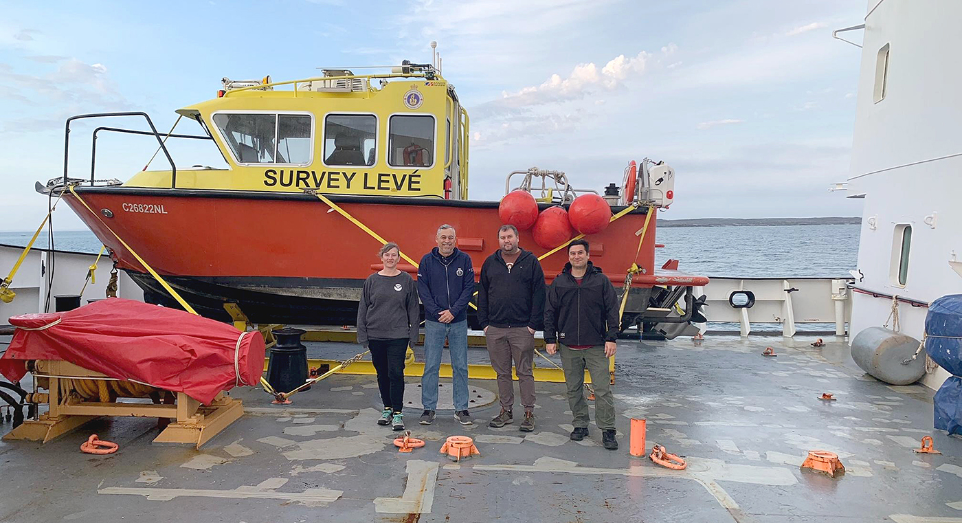
Annie Raymond, a member of one of NOAA’s navigation response teams, spent time in late summer aboard Canadian Coast Guard (CCG) icebreaker Henry Larsen in the Canadian Arctic with the Canadian Hydrographic Service (CHS). Her time aboard the ship was part of an exchange program designed as an opportunity for the Office of Coast Survey and CHS to gain exposure to each other’s field operations, particularly highlighting challenges for Arctic operations. Throughout the experience, she observed similarities and differences between Coast Survey and CHS data acquisitions and operations.
Continue reading “Surveying the Canadian Arctic aboard the icebreaker Henry Larsen”NOAA releases 2023 hydrographic survey season plans
NOAA hydrographic survey ships, navigation response teams, and contractors are preparing for the 2023 hydrographic survey season. The ships and survey vessels collect bathymetric data (i.e. map the seafloor) to support nautical charting, modeling, and research, but also collect other environmental data to support a variety of ecosystem sciences. NOAA considers hydrographic survey requests from stakeholders such as marine pilots, local port authorities, the Coast Guard, and the boating community, and also considers other hydrographic and NOAA science priorities in determining where to survey and when. Visit our “living” ArcGIS StoryMap to find out more about our mapping projects and if a hydrographic vessel will be in your area this year!
Continue reading “NOAA releases 2023 hydrographic survey season plans”Surveying south of Cape Cod, Massachusetts in transit to the Great Lakes
By Hydrographic Assistant Survey Technician Sarah Thompson
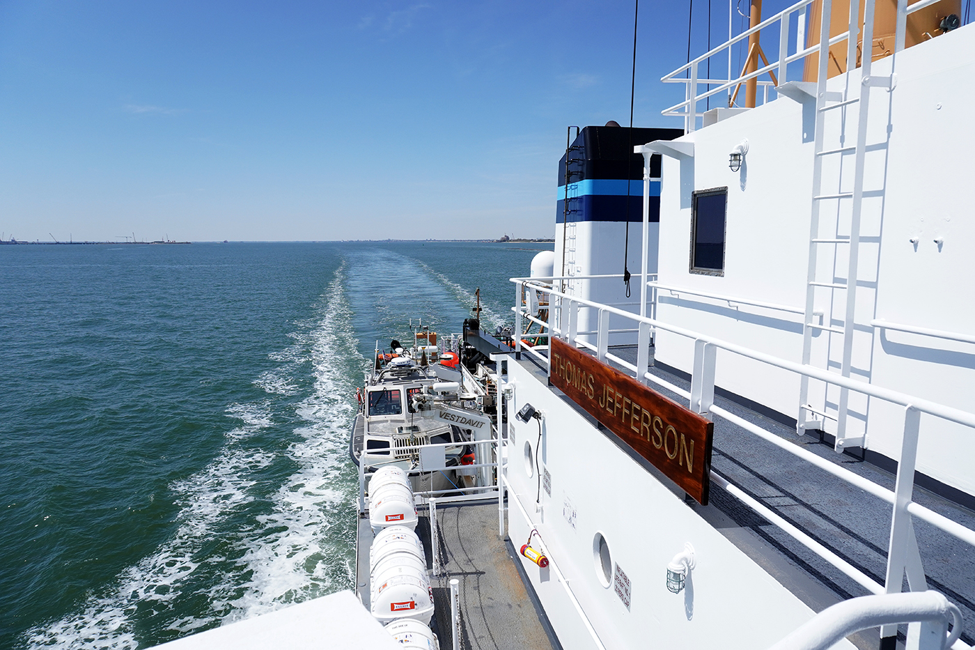
April 10, 2022 marked the beginning of NOAA Ship Thomas Jefferson and her crew’s field season and transit up through the St. Lawrence River, Lake Ontario, and into Lake Erie. This field season, Thomas Jefferson’s base of operations will be in Cleveland, Ohio and has the distinction of being the first NOAA ship to survey the Great Lakes in over 30 years. On the way, Thomas Jefferson had the opportunity to respond to a U.S. Coast Guard request to survey and obtain modern bathymetry on Pollock Rip Channel off the Massachusetts coast.
Continue reading “Surveying south of Cape Cod, Massachusetts in transit to the Great Lakes”Coast Survey’s mobile integrated survey team goes to Antarctica
By, Annie Raymond
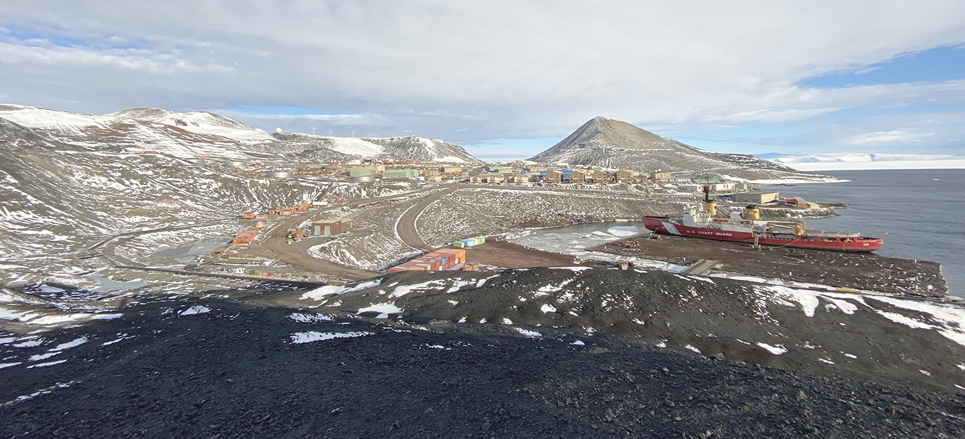
In 1959, following the International Geophysical Year of 1957-58, scientists from twelve nations conducting active research in Antarctica came together and signed the Antarctic Treaty. In the years following, 42 additional countries acceded to the treaty. The treaty preserves the entire continent and surrounding waters solely for purposes of peaceful scientific collaboration and bans resource extraction and military activity. McMurdo Station on Ross Island, operated by the United States through the United States Antarctic Program, a branch of the National Science Foundation (NSF), has emerged as the largest year-round station and primary logistics hub for the region. The first U.S. Operation Deep Freeze happened prior to and in support of the International Geophysical Year of 1957-58. Since then, Operation Deep Freeze has continued annually and has become the name for supply sealift missions to McMurdo, delivering fuel, food, and supplies to scientists in Antarctica.
Continue reading “Coast Survey’s mobile integrated survey team goes to Antarctica”Alaska to Greenland via the Northwest Passage
By Lt. Patrick Debroisse
In August and September 2021, the U.S. Coast Guard Cutter Healy transited through the Northwest Passage, from Alaska to Greenland. This voyage provided members of the University of New Hampshire’s Center for Coastal and Ocean Mapping/Joint Hydrographic Center (CCOM/JHC) the opportunity to collect data, helping to fill gaps in current hydrographic coverage in the passage and in the U.S. Exclusive Economic Zone (EEZ). Data in the Arctic where sea ice impedes ships is sparse. This is concerning as the Arctic nations, especially the United States, Canada, and Greenland evaluate both extended continental shelf claims and the potential for shipping routes through the Northwest Passage.
Continue reading “Alaska to Greenland via the Northwest Passage”

