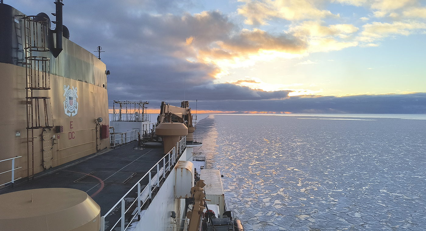
In October through early November 2024, NOAA’s Office of Coast Survey, the University of New Hampshire, U.S. National Science Foundation, and U.S. Coast Guard partnered to complete a coordinated mapping mission along the north slope of Alaska aboard the U.S. Coast Guard Cutter Healy. Advancing the 2020 National Strategy on Ocean Mapping, Exploring, and Characterizing the U.S. Exclusive Economic Zone, the mission acquired depth data in uncharted waters along the Coast Guard-proposed Arctic shipping route, deployed a series of oceanographic buoys, and provided at sea training on interdisciplinary scientific expeditions for junior scientists. The mission capitalized on a rare opportunity to maximize data observations within a data-starved region in support of Seascape Alaska, a regional mapping campaign.

News and Updates
