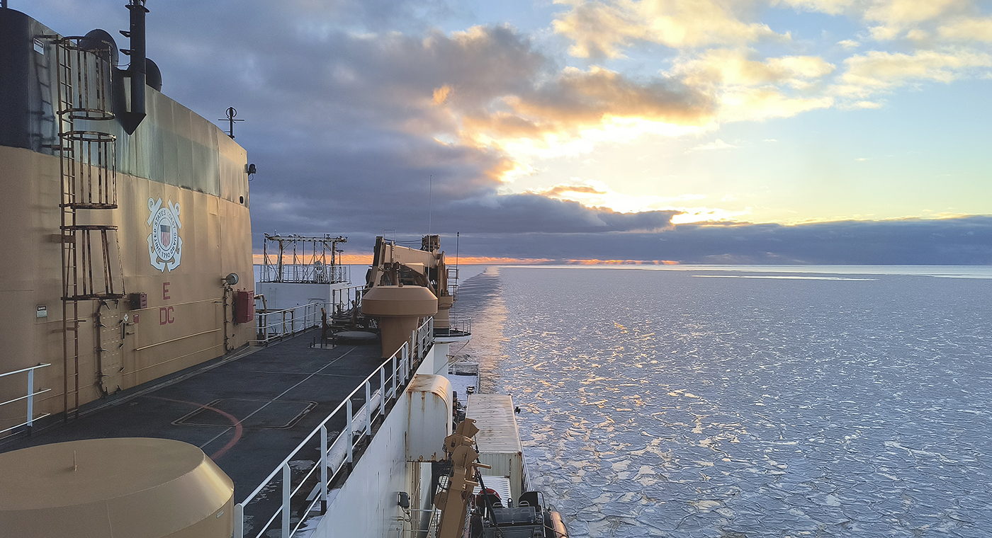
In October through early November 2024, NOAA’s Office of Coast Survey, the University of New Hampshire, U.S. National Science Foundation, and U.S. Coast Guard partnered to complete a coordinated mapping mission along the north slope of Alaska aboard the U.S. Coast Guard Cutter Healy. Advancing the 2020 National Strategy on Ocean Mapping, Exploring, and Characterizing the U.S. Exclusive Economic Zone, the mission acquired depth data in uncharted waters along the Coast Guard-proposed Arctic shipping route, deployed a series of oceanographic buoys, and provided at sea training on interdisciplinary scientific expeditions for junior scientists. The mission capitalized on a rare opportunity to maximize data observations within a data-starved region in support of Seascape Alaska, a regional mapping campaign.
A “soft” resilience strategy is part of successful hurricane response
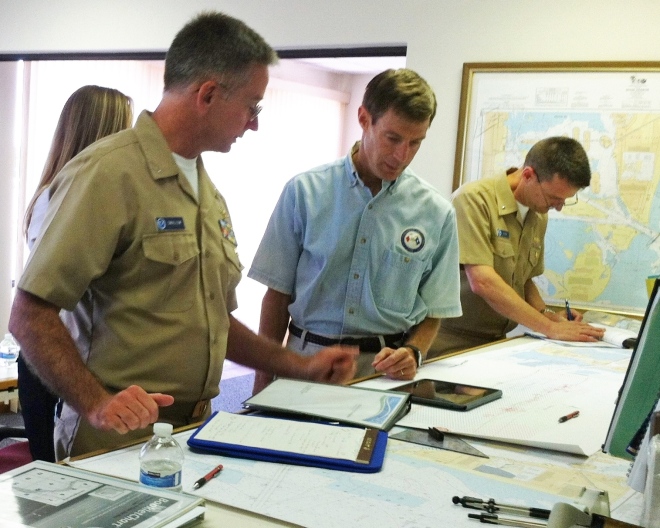
We hear about the infrastructure investments that often follow major disasters like hurricanes ‒ the “hard” port resilience strategies necessary in the wake of catastrophic human, environmental, and economic loss. But the sturdiest, most flood-proof building is just one part of a larger system of assets in coastal resilience. We don’t hear much about the “soft” resilience strategies ‒ those that build and maintain ties among the people responsible for responding to a hurricane, for instance ‒ that are important to a successful response. Those strategies are part of the social capital between communities and government, and among government agencies.

Continue reading “A “soft” resilience strategy is part of successful hurricane response”
NOAA and Coast Guard work together to get more surveying done in the Arctic
By Ashley Chappell, Integrated Ocean and Coastal Mapping coordinator
With 3.4 million square nautical miles of U.S. waters to survey and chart, Coast Survey is up against some big challenges in keeping nautical charts current. A complete survey of those waters would require over 500 ship years and $5 billion ‒ just to acquire the data. It is no wonder that we put substantial effort into a program known as integrated ocean and coastal mapping (IOCM), where trusted partners can provide high quality, standards-compliant hydrographic survey data for a multitude of uses, including chart creation.
One of our biggest challenges is in the Arctic. Whether you knew it or not, the U.S. is an Arctic nation thanks to Alaska, and this formerly frozen region is becoming more accessible to ship traffic as sea ice melts. But much of our Arctic coastal areas have never had full bottom bathymetric surveys, and some haven’t had more than superficial depth measurements since Captain Cook explored the northern regions in the late 1700s.
So NOAA has a dilemma: how do we survey and chart an ice-diminished Arctic when we have limited resources and limited seasonal access? We assessed data age and quality, we reviewed our chart coverage, and we developed the Arctic Nautical Charting Plan for where we would improve chart coverage if we get new data. But our resources for ship and contract surveys can only do so much, and we need more data…

Continue reading “NOAA and Coast Guard work together to get more surveying done in the Arctic”
Coast Survey supports inauguration preparations
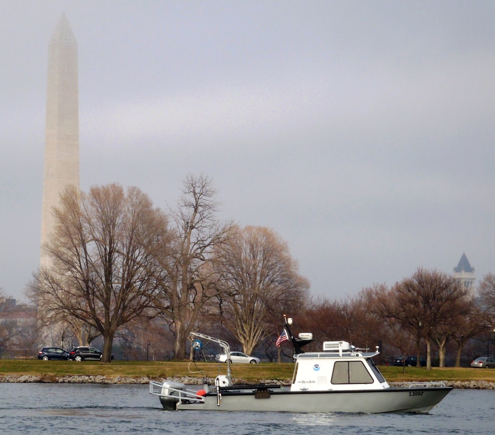
It was an honor to assist with preparations for the Presidential Inaugural. Our assistance, provided before the event, was a combined effort by one of our navigation response teams, survey technicians, cartographers, and several NOAA officers. Coast Survey’s work was additionally supported by colleagues at NOAA’s Center for Operational Oceanographic Products and Services.

For more about navigational planning for the Potomac River, see Coast Guard to establish security zone for the presidential inauguration.

