The Empowering Women in Hydrography project is a global effort led by the International Hydrographic Organization and Canada that seeks to initiate, organize and track a series of activities and initiatives which will enable more women to participate equitably in the field of hydrography and to assume leadership roles within the hydrographic community. NOAA is contributing to the project via an ‘at-sea experience’ on NOAA hydrographic ships for three women each year over the lifespan of the project. After a global call for nominations, three women were selected to join NOAA ships for the 2024 survey season. Chrysanthi Kleanthous, from the Hydrographic Office of Cyprus, joined NOAA Ship Thomas Jefferson from 2 to 20 September 2024, while conducting surveys off the coast of South Carolina.
NOAA’s nowCOAST improves BlueTopo access
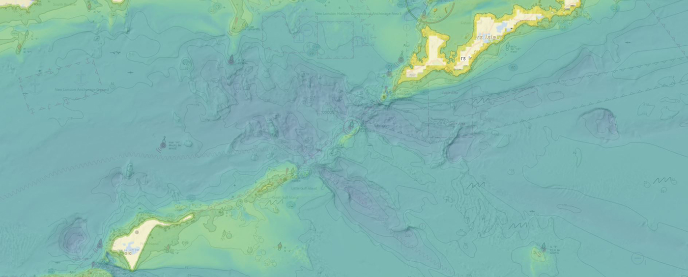
NOAA’s Office of Coast Survey produces and maintains several types of data models and products, from operational forecast systems to nautical charts. One of these models comes from the office’s National Bathymetric Source, or NBS, program which creates and maintains high-resolution bathymetry composed of the best available data. Bathymetry is a term that refers to the depths and shapes of underwater terrain and is a visualization of the “beds” or “floors” of water bodies, including the ocean, rivers, streams, and lakes. This data model is available to the public in a product called BlueTopo.
NOAA announces plans to survey Port Valdez and solicits proposals for 2026 funding opportunity
The National Oceanic and Atmospheric Administration is pleased to announce a partnership with the City of Valdez for a hydrographic surveying project in Port Valdez. This project was selected for the Brennan Matching Fund from last year’s round of applicants and is slated to occur in 2025. The project will provide high resolution bathymetry and backscatter data over approximately 32.5 square nautical miles, and supply a contemporary baseline to help city emergency managers understand and prepare for potential impacts of submarine landslides.
Data dissemination web interface supports navigation
Imagine navigating a vessel along the coast and planning the approach to your destination, whether that be a local marina or large vessel berth in a harbor. What factors affecting the movement of the vessel should you be aware of once underway and in transit through the entrance and into the port? These may include observations on the present and forecasted weather, water current speed and direction, water depths and tidal direction, and any anomalies or warnings that may exist. Knowing what these factors are will assist you in preparing your vessel for safe passage to the destination.
Continue reading “Data dissemination web interface supports navigation”
The Office of Coast Survey’s ongoing response to the Francis Scott Key Bridge disaster
On Tuesday, March 26, 2024, the 984-foot M/V DALI allided with the Francis Scott Key Bridge near Baltimore, Maryland, sending the bridge tumbling into the Patapsco River, resulting in the tragic loss of six construction workers, and triggering a local, state, and federal response. Large sections of the bridge’s structure lay across the main shipping channel into the Port of Baltimore closing the deepest shipping lane into and out of the port, and resulting in an estimated loss of $15 million in daily economic activity for the area. All shipping traffic was diverted from the area, enabling first responders to conduct high-priority rescue and recovery operations and allowing highly trained salvage crews to begin the arduous task of removing bridge wreckage. Due to the amount of debris in the water, it was evident that salvage operations would take some time, and the priority at the time was to open the port for at least some vessel traffic.
Continue reading “The Office of Coast Survey’s ongoing response to the Francis Scott Key Bridge disaster”The Interagency Working Group on Ocean and Coastal Mapping announces the release of the Standard Ocean Mapping Protocol
The members of the federal Interagency Working Group on Ocean and Coastal Mapping (IWG-OCM) are thrilled to announce the release of the first Standard Ocean Mapping Protocol (SOMP)! The SOMP is a standardized technical protocol for acquisition, processing, and archiving of ocean and coastal mapping data. It was developed in support of National Strategy for Ocean Mapping, Exploring, and Characterizing the United States Exclusive Economic Zone (NOMEC) goals and is built from existing standards and best practices developed by the ocean and coastal mapping community.
Technical specifications for submitting hydrographic survey data get an overhaul
The Hydrographic Survey Specifications and Deliverables document contains the technical specifications for hydrographic survey data submitted to the Office of Coast Survey. It represents NOAA’s implementation of the International Hydrographic Organization standards for hydrographic survey and product specifications. Coast Survey is proud to announce the launch of the new Hydrographic Survey Specifications and Deliverables for 2024, the largest overhaul of the document in more than 20 years.
Continue reading “Technical specifications for submitting hydrographic survey data get an overhaul”The Interagency Working Group on Ocean and Coastal Mapping announces progress on mapping U.S. ocean, coastal, and Great Lakes waters
The federal Interagency Working Group on Ocean and Coastal Mapping recently released the fifth annual report on progress made in mapping U.S. ocean, coastal, and Great Lakes waters. Knowledge of the depth, shape, and composition of the seafloor has far-reaching benefits, including safer navigation, hazard mitigation for coastal resilience, preservation of marine habitats and heritage, and a deeper understanding of natural resources for sustainable ocean economies. The 2020 National Strategy for Mapping, Exploring, and Characterizing the United States Exclusive Economic Zone (NOMEC) makes comprehensive ocean mapping a priority for the coming decade. The Unmapped U.S. Waters report tracks progress toward these important goals.
Continue reading “The Interagency Working Group on Ocean and Coastal Mapping announces progress on mapping U.S. ocean, coastal, and Great Lakes waters”NOAA’s 2024 hydrographic survey season is underway
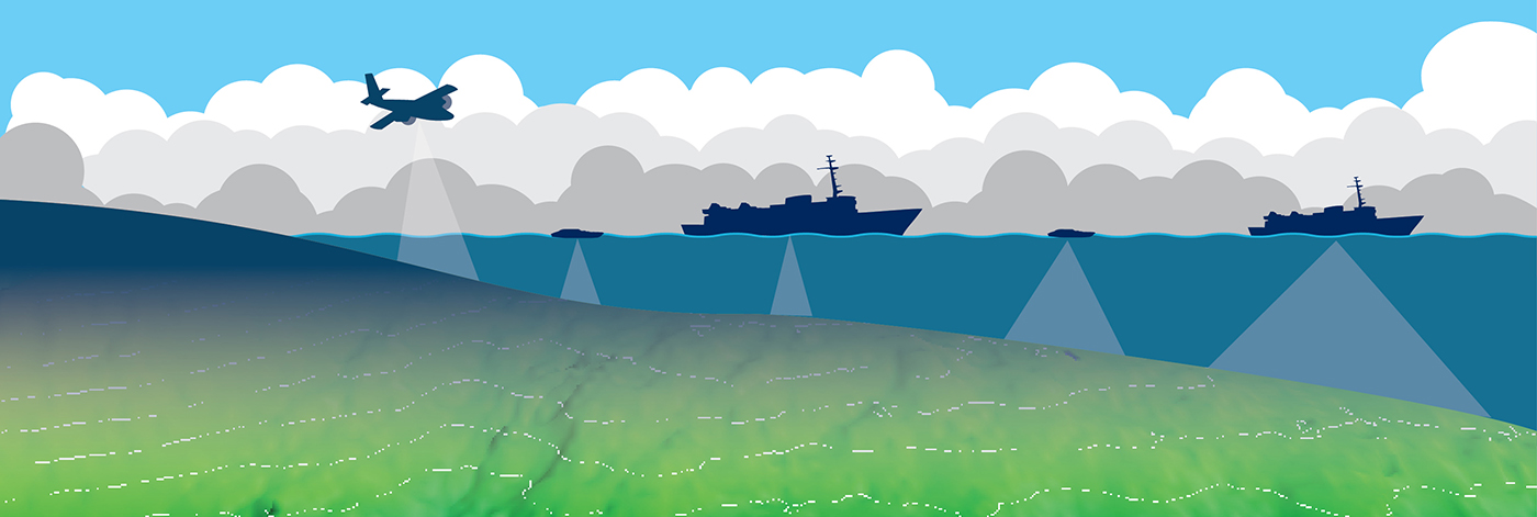
The National Oceanic and Atmospheric Administration’s 2024 hydrographic survey season is ramping up and will be in full swing before too long. For the past few months, NOAA hydrographic survey ships, navigation response teams, and contractors have been diligently preparing for the upcoming field season. The ships and survey vessels collect bathymetric data to support nautical charting, modeling, and research, but also collect other environmental data to support a variety of ecosystem sciences. NOAA considers hydrographic survey requests from stakeholders such as marine pilots, local port authorities, the Coast Guard, and the boating community, and also considers other hydrographic and NOAA science priorities in determining where to survey and when. Visit our “living” ArcGIS StoryMap to find out more about our mapping projects and if a hydrographic vessel will be in your area this year!
Continue reading “NOAA’s 2024 hydrographic survey season is underway”Possible Ancient River System Discovered off Wilmington, North Carolina
By Alexandra Dawson and Lt. Patrick Debroisse
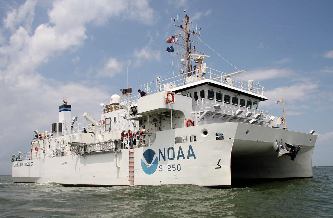
During the 2023 field season, NOAA Ship Ferdinand R. Hassler was tasked with surveying an area offshore of Wilmington, North Carolina, in the vicinity of Frying Pan Shoals—a dynamic area of dangerously shallow waters. While scientists and crew conducted mapping surveys of the seafloor, they discovered what is believed to be well-preserved ancient remnants of a paleochannel system that could give us a glimpse as to what our North Carolina coastline looked like approximately 20,000 years ago. The location of these newly discovered paleochannels indicates that they may have once been part of North Carolina’s historic Cape Fear River and likely were above sea level during the Last Glacial Maximum.
Continue reading “Possible Ancient River System Discovered off Wilmington, North Carolina”