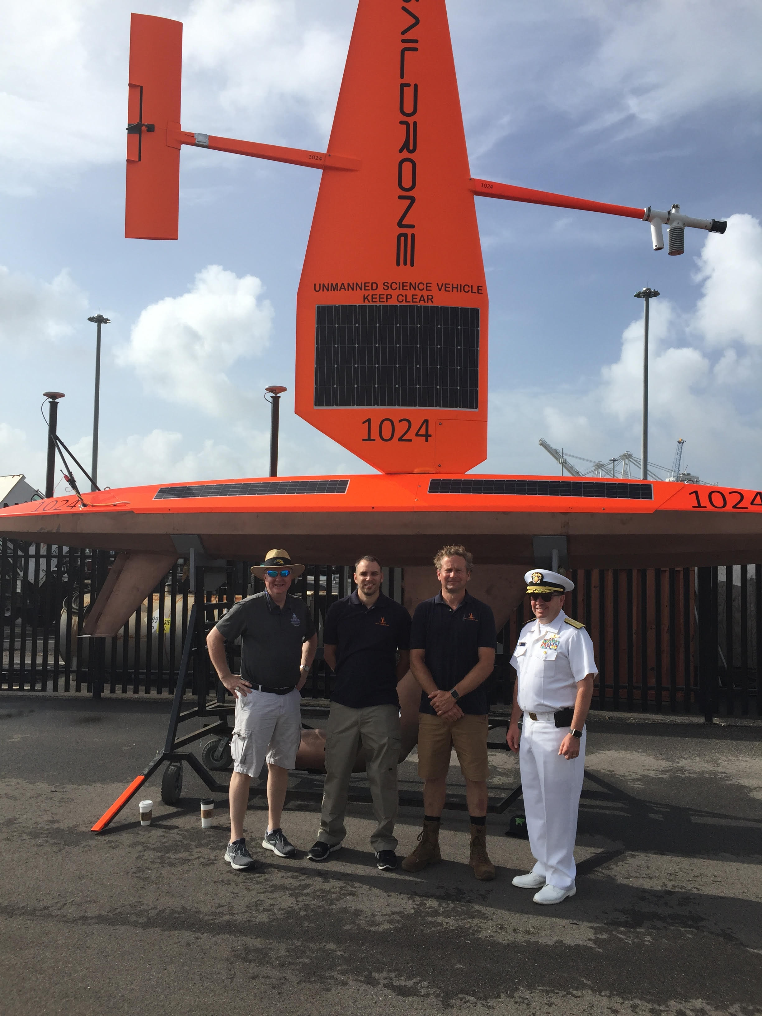
Successful deployment of multibeam-equipped Saildrone in the Gulf of Mexico
Brian Connon (USM), Matt Paulson (Saildrone), Richard
Jenkins (Saildrone), and Rear Adm. Smith in Gulfport, Miss.
Coast Survey, the University of Southern Mississippi (USM), and Saildrone accomplished a key milestone in the research and testing of unmanned technology that can lead to enhanced hydrographic survey capabilities with the first launch of a Saildrone equipped with multibeam sonar in the Gulf of Mexico. USM and Saildrone collaborated to configure the Saildrone for this mission under a grant provided by Coast Survey. Once the Saildrone was transported to Gulfport, Miss., and after final test runs, it was deployed into the Gulf for its data collection mission on Tuesday, June 25, 2019. The mission will run throughout the summer. For more information contact
Neeraj.Saraf@noaa.gov.
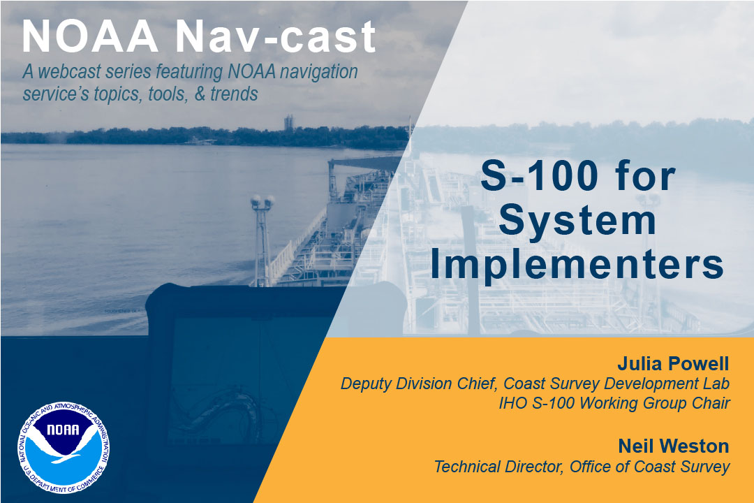
First Nav-cast presentation now available online
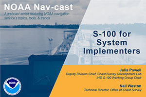
NOAA Nav-cast is a quarterly webinar series that highlights
the tools and trends of NOAA navigation services.
Coast Survey hosted its first Nav-cast, a quarterly webinar series that highlights the tools and trends of NOAA navigation services. Our first topic, "S-100 for System Implementers," was presented by
Julia Powell, deputy director of Coast Survey Development Lab, and
Neil Weston, technical director of Coast Survey. This presentation described the S-100 Universal Hydrographic Data Model and what navigation system developers need to know in order to implement various S-100 based product specifications. The presentation description, recording, and transcript are all
available online.
For more information contact
Lucy.Hick@noaa.gov or
Kristen.Crossett@noaa.gov.
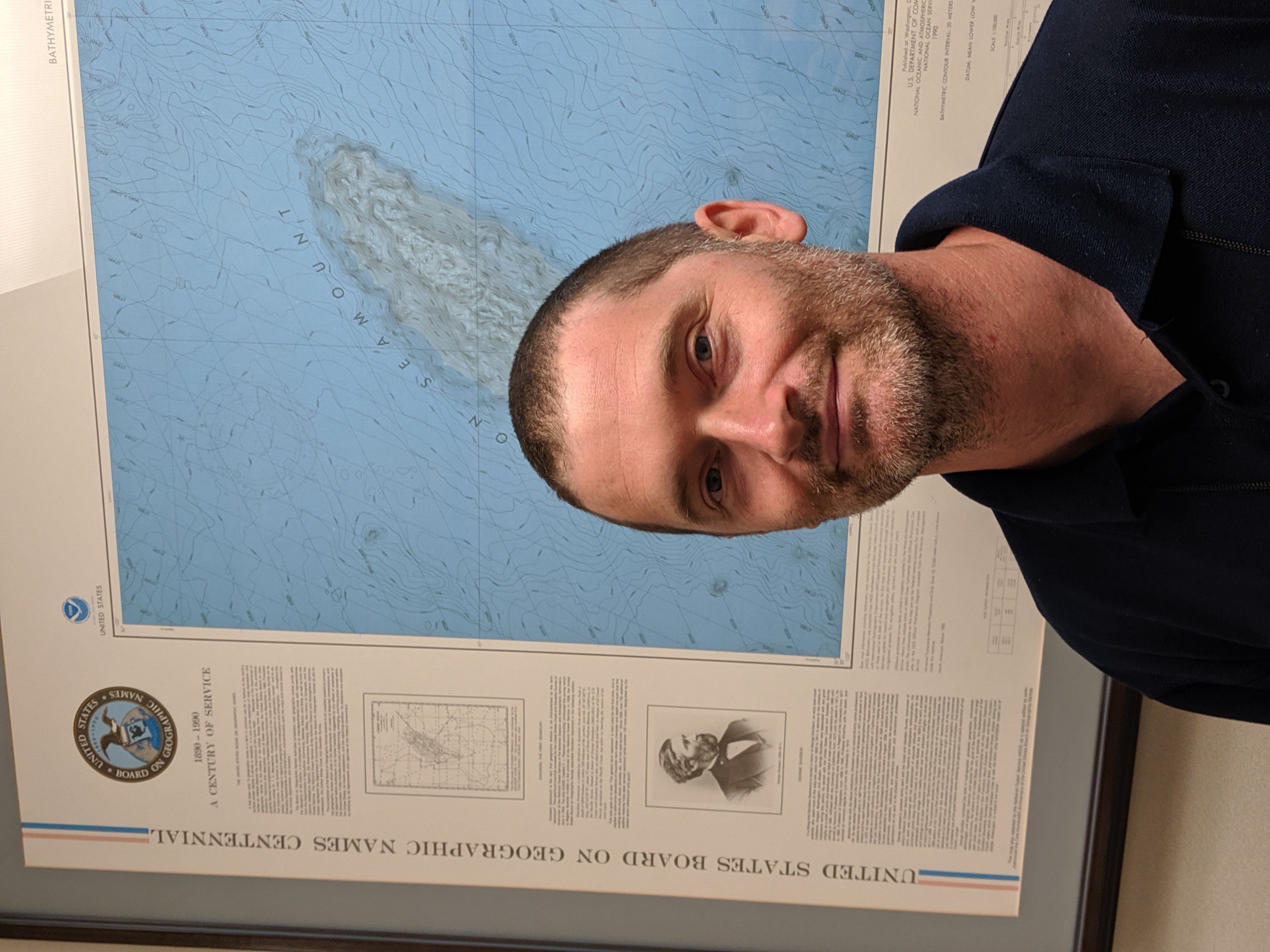
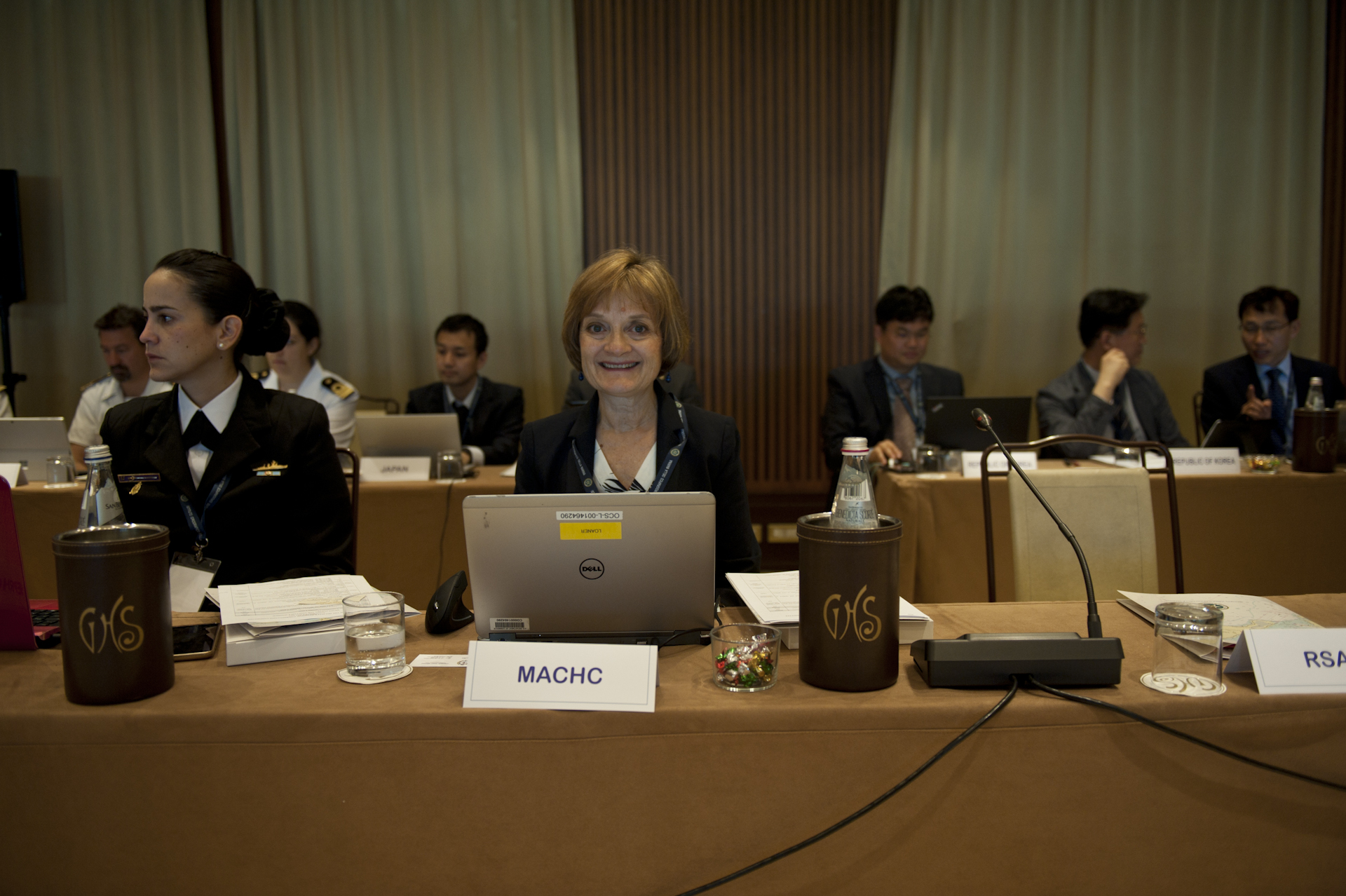
Coast Survey leadership attends the Inter-regional Coordination Committee of the IHO
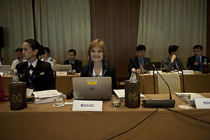
Katie Ries attends the Inter-regional Coordination Committee
of the IHO in Genoa, Italy.
Rear Adm. Shep Smith, director of Coast Survey and chair of the
International Hydrographic Organization (IHO) council, and
Katie Ries, deputy director of Coast Survey and chair of the Meso American and Caribbean Sea Hydrographic Commission, attended the Inter-regional Coordination Committee of the IHO in Genoa, Italy. The delegation successfully advanced key objectives, including previewing a new IHO Strategic Plan and a five-year roadmap (2022-2027) for delivering the next generation of electronic navigational charts and interoperable data services for mariners. Attendees also approved a U.S. proposal to establish formal coordination between IHO regional mapping commissions and the Seabed 2030 regional data center coordinators, furthering the important international initiative of completely mapping the world’s ocean. For more information contact
Kathryn.Ries@noaa.gov.
First NOS Women’s Panel discussion held in Silver Spring, Md.
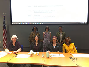
Back row from left to right: Michelle Crockett, Gretchen
Imahori, and Vankita Brown (meeting facilitator). Front row
from left to right: Maureen Warren, Starla Robinson, Megan
Bartlett, and Tiffany House.
On June 27, the first National Ocean Service (NOS) Women’s Panel of
Retention
Action
Charter (ReACh) convened to discuss experiences and challenges as well as provide an open dialog to support the continued improvement of working conditions for women within NOS. ReACh was created to support women in hydrographic surveying and remote sensing and has expanded to include women in Coast Survey, NGS, and other offices. One of the goals of ReACh is to create a space where women of varying work experiences can freely discuss challenges they faced in the workplace and how they overcame them. Panel members for this event included
Maureen Kenny,
Starla Robinson, and
Megan Bartlett, all from Coast Survey, as well as
Tiffany House, who formerly worked with the National Geodetic Survey (NGS) and is now a commercialization assistance program manager at Oceanic and Atmospheric Research.
Gretchen Imahori, NGS, organized and led the event with support from
Nicole LeBoeuf, NOS assistant administrator;
Michelle Crocket, Equal Employment Opportunity and Diversity Programs manager at NOS;
Juliana Blackwell, NGS director;
Mike Aslaksen, NGS Remote Sensing Division chief;
Lynne Mersfelder-Lewis, Hydrographic Services Review Panel program manager;
Danielle Stuby, NGS cartographer; and
Aleah Worthem and
Sarah Philips, both from Coast Survey.
For more information contact
Gretchin.Imahori@noaa.gov.
Navigation response team activities
NRT-Stennis - The team is performing trailer repairs and preparing for cruise on
Okeanos Explorer.
NRT-Fernandina Beach - The team is completing acquisition on a Remote Sensing Division lidar junction survey.
NRT-Seattle - The team is surveying in Bellingham, Wash. Read about their recent survey operations on the Columbia River in their recent blog post, "
A dynamic river calls for dynamic collaborations."
NRT-Galveston - The team is processing data from Galveston Bay surveys.
NRT-New London - The team is processing data from the Block Island, R.I., survey, preforming trailer brakes repairs/overhaul, and investigating radar repair.
Bay Hydro II - The team is processing data from Lewes, Del., project and preforming preventative maintenance. The team is also working on autonomous surface vehicle acceptance testing.

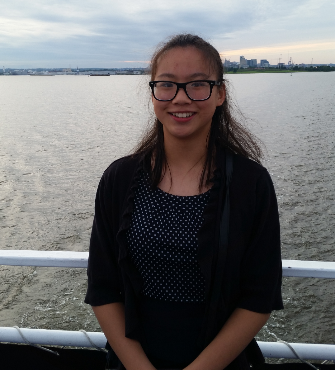
Staff Updates

Rosemary Yang.
Over the last two weeks, Coast Survey hosted its first high school student volunteer through the Student Service Learning (SSL)-approved program within the
Montgomery County Volunteer Center.
Rosemary Yang helped with several administrative duties, including mapping on the walls where to hang our various pictures and copper plates following the Silver Spring office reconfiguration, organizing paper documents for scanning according to the NOAA records schedule, and helping to develop materials for employees heading into middle and high schools for career day-type events. Rosemary is a rising sophomore in the International Baccalaureate (IB) program at Richard Montgomery High School in Rockville, Md. Maryland students must complete a series of SSL hours toward graduation. Coast Survey is an approved program that allows students from
Montgomery County, Md., and
Prince Georges County, Md., to receive credit hours toward their SSLs by performing tasks that assist our mission. If you are interested in hosting a local high school student, please contact
Kathleen.Jamison@noaa.gov. If you know a student who may be interested in fulfilling volunteer-hour requirements with Coast Survey, please have them contact
ocs.internships@noaa.gov.
Awards
Congratulations to
Shachak Pe'eri for being honored with the
Gears in Government Award.
The Executive Office of the President launched the Gears of Government Awards to honor federal employees who deliver key outcomes and to recognize their pivotal role in building a modern, effective government that serves the American people. This government-wide program is centered on recognizing outstanding contributions of individuals and teams towards mission results, customer service, and accountable stewardship. Shachak was honored for transforming education and training opportunities for cartographers in MCD through the creation of an internationally-recognized geographic information systems training curriculum. His work has helped to establish NOAA as a leader in the GIS community.
Call for award nominations: On June 28, the NOS assistant administrator sent out a call for award nominations for three types of awards:
Employee of the Year,
Team Member of the Year,
NOS Team Rafting Award. Please read the
NOS guidelines for award descriptions, nomination submissions, selection criteria, and nominations forms. Awards will be presented at the NOS Employee Recognition Ceremony.
If you choose to nominate someone, please take advantage of the Coast Survey awards committee as they have experience making write-ups as strong as possible. At a minimum, please make your award committee member aware that you are forwarding your nomination to NOS as the Coast Survey deputy director must represent these nominations at the NOS review process. Coast Survey award committee members are:
Katie Ries,
Mike Brown,
Lorraine Robidoux,
Matt Kroll,
Julia Powell,
Alexaderia Allison, and
Kristen Crossett. The deadline for submitting nominations to NOS is August 9, 2019.