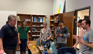
Great Lakes stakeholders briefed on Coast Survey’s initiatives to provide high quality charts and publications

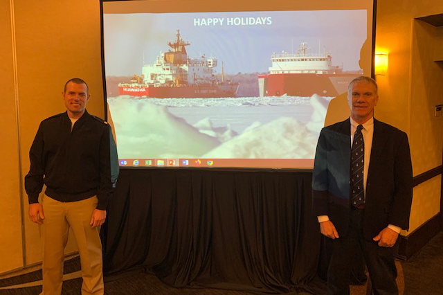
Lt. Cmdr. Charles Wisotzkey with Tom Loeper after Tom
officially handed over navigation manager responsiblities for
the Great Lakes region.
Tom Loeper (Nautical Publications Branch chief) and
Lt. Cmdr. Charles Wisotzkey (navigation manager for the Great Lakes Region) attended the Great Lakes Waterway Conference followed by the Lake Carriers Association Captains annual meeting in Cleveland, Ohio, from February 11-13. The meetings included members from the Great Lakes Carriers association (U.S. maritime trade association), the Canadian Chamber of Marine Commerce (Canadian maritime trade association), bi-national Great Lakes Seaway authorities, representatives from the U.S. Department of Transportation, the U.S. Coast Guard, the U.S. Army Corps of Engineers, Viking Cruises, as well as numerous other private and government interests. The two meetings were an invaluable source of information about economic and navigation concerns in the Great Lakes region. Tom Loeper briefed the Great Lakes Captains on the project he has been leading to
update the Great Lakes Recommended Courses on both NOAA and Canadian charts and publications. Representatives from the National Weather Service, the Thunder Bay National Marine Sanctuary, and the Center for Operational Oceanographic Products and Services (CO-OPS) also provided updates to the community. For more information contact Lt. Cmdr. Charles Wisotzkey at
GreatLakes.NavManager@noaa.gov.
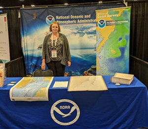
The recreational boating community connects with Coast Survey at the Miami Boat Show
(Left to right) Capt. Van Westendorp, Sam DeBow (Lynker),
Julio Castillo, and Louis Licate at the Miami Boat Show.
Capt. Chris van Westendorp,
Sam DeBow,
Julio Castillo,
Louis Licate,
James Kirkpatrick, and
Matt Kroll hosted the Coast Survey booth at the 2020 International Miami Boat Show. The five-day show featured more than 1,000 exhibitors and attracted nearly 100,000 attendees. As one of the most internationally attended and influential boat shows in the world, the Miami Boat Show is a great opportunity for Coast Survey to reach out to the recreational boating community, educate them about NOAA's products and services, and inform them about new initiatives, such as the
raster sunset plan and the
NOAA Custom Chart prototype tool. For more information contact
Louis.Licate@noaa@noaa.gov.
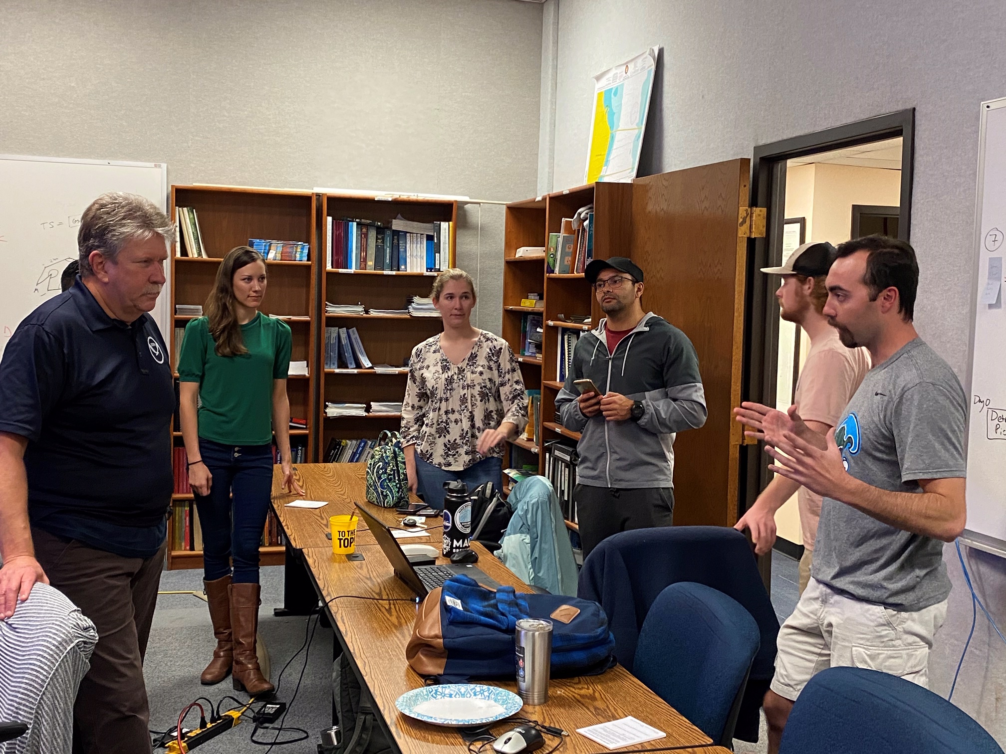
University of New Hampshire hosts the 2020 regional Nor’easter Ocean Science Bowl
Brian Calder sits below the 2020 Nor'easter Bowl
scoreboards.
The University of New Hampshire hosted the 2020 Nor'easter Bowl, the New England regional competition for the National Ocean Sciences Bowl. The Center for Coastal and Ocean Mapping/NOAA-University of New Hampshire Joint Hydrographic Center
(CCOM/JHC) had many volunteers for this incredible day-long quiz bowl. Associate Director
Brian Calder and researcher
Roland Arsenault programed the scoring platform on display in one of the university's tech classrooms. Other CCOM/JHC staff and students assisted by moderating, scoring, and being science judges. Congratulations to Narragansett Area High School who won the competition and will represent the Nor'easter Bowl at the finals in May. For more information contact Tara Hicks Johnson at
tjohnson@ccom.unh.edu.
Coast Survey attends the Passenger Vessel Association Annual Convention
Lucy Hick staffs the NOAA booth at PVA.
During the week of February 3,
Lucy Hick (Customer Affairs Branch chief) staffed a NOAA booth and presented at the 2020 Passenger Vessel Association (PVA) Annual Convention at Maritrends in Tampa, Florida. PVA is dedicated to promoting the interests and the economic well-being of U.S. passenger vessel owners and operators, while promoting safety and a secure maritime operating environment for passengers, crew and the public at-large. There were more than 400 attendees at Maritrends, representing operators of ferries, tour boats, and small excursion vessels. It was a great opportunity to inform this community about the
raster sunset effort and introduce them to the
NOAA Custom Chart tool. For more information contact
Lucy.Hick@noaa.gov.
Coast Survey mentors students at annual science fair
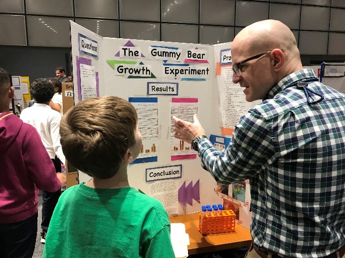
Lance Roddy mentors an elementary
school student.
On February 12, NOAA sponsored the annual James D. Martin/Shepherd Elementary School Science Fair. This is the 18th year NOAA has mentored and judged the science projects of Shepherd Elementary school students. The students’ projects were presented using paper boxes which were environmentally friendly and easy for recycling. Several National Ocean Service employees, including
Lance Roddy (MCD),
John Whiddon (MCD),
Wei Wu from the Coast Survey Development Laboratory (CSDL),
John Kuriawa of Office for Coastal Management, and
Amy Whetter,
Phillip McFarland, and
Edith Bradley of National Geodetic Survey, supported this event. They served as judges for the students’ science projects and mentored these potential scientists on advancing their scientific thinking. It was truly a rewarding experience for everybody involved. This event helped cultivate young scientists and promote the outreach of NOAA's mission. For more information contact
Wei.Wu@noaa.gov.
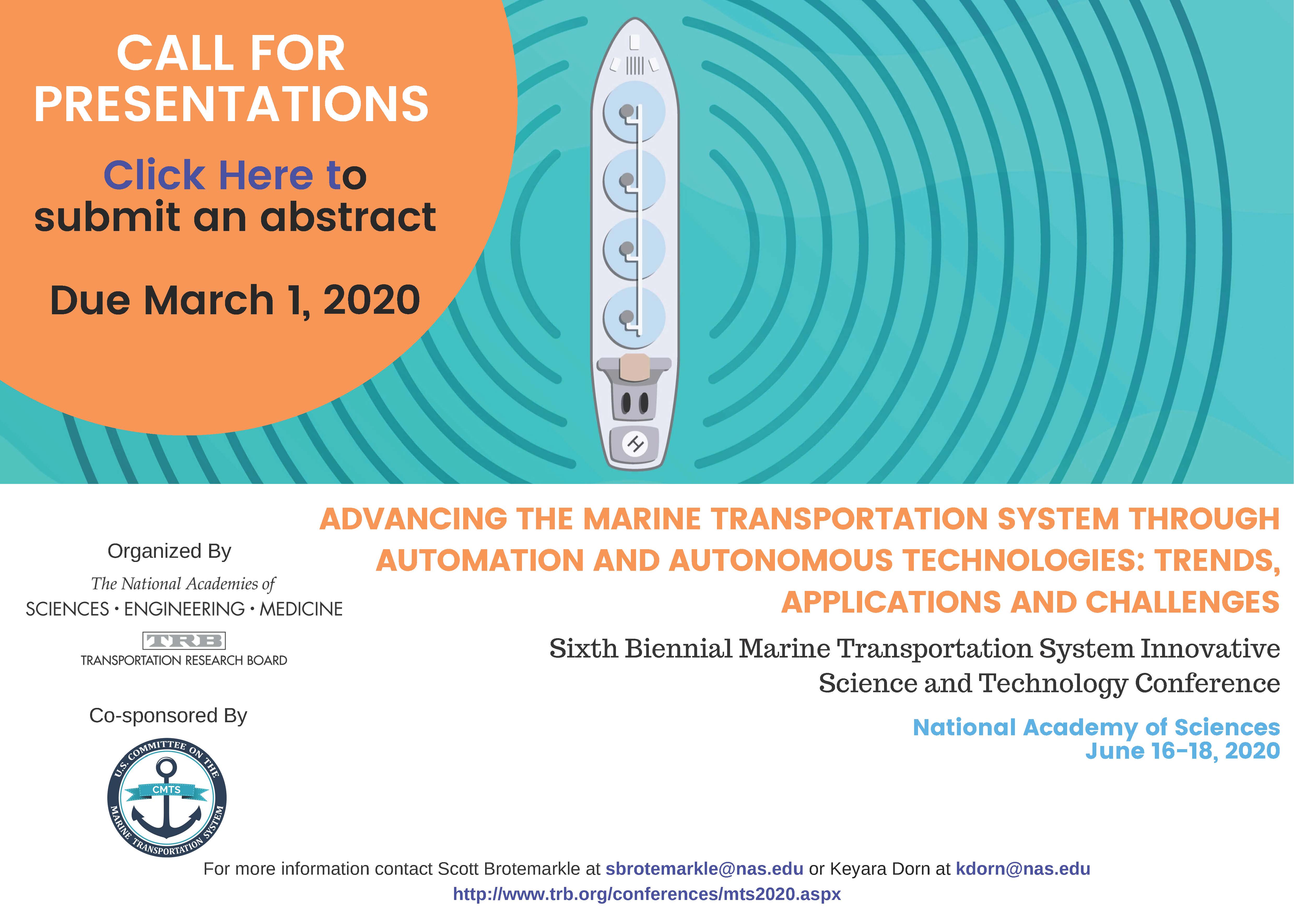
Call for presentations: 6th Biennial Marine Transportation System Innovative Science and Technology Conference
The Transportation Research Board is hosting its biennial conference in partnership with the U.S. Committee on the Marine Transportation System (CMTS) from June 16-18, 2020. This year's theme is
Advancing the Marine Transportation System through Automation and Autonomous Technologies: Trends, Applications and Challenges. The conference will showcase current and emerging innovative science and technologies related to maritime transportation. Participants come from government, industry, and academia to examine the rapidly evolving applications of autonomous and automated technologies. The conference welcomes presentations related to any aspect of automation and autonomy within the Marine Transportation System on land or water! Abstracts are due March 1, 2020. Submit
here.
For more information contact
Heather.Gilbert@noaa.gov.
University of Southern Mississippi graduate students learn about the many applications of hydrography
Tim Osborn discusses hydrography with USM graduate
students.
Tim Osborn (Central Gulf Coast navigation manager) visited with graduate students from the University of Southern Mississippi (USM) Hydrographic Science Degree Program. He provided a new perspective on the many applications of hydrography, especially as it applies to safe navigation, shipping, and restoration after hurricanes. He also worked with the students to identify possible hydrography projects along the Gulf for their final survey project. Founded in 1807, Coast Survey is the oldest civilian science office in America. Rooted in this legacy, Tim’s efforts help to inspire the next generation of hydrographers.
For more information contact
Tim.Osborn@noaa.gov.