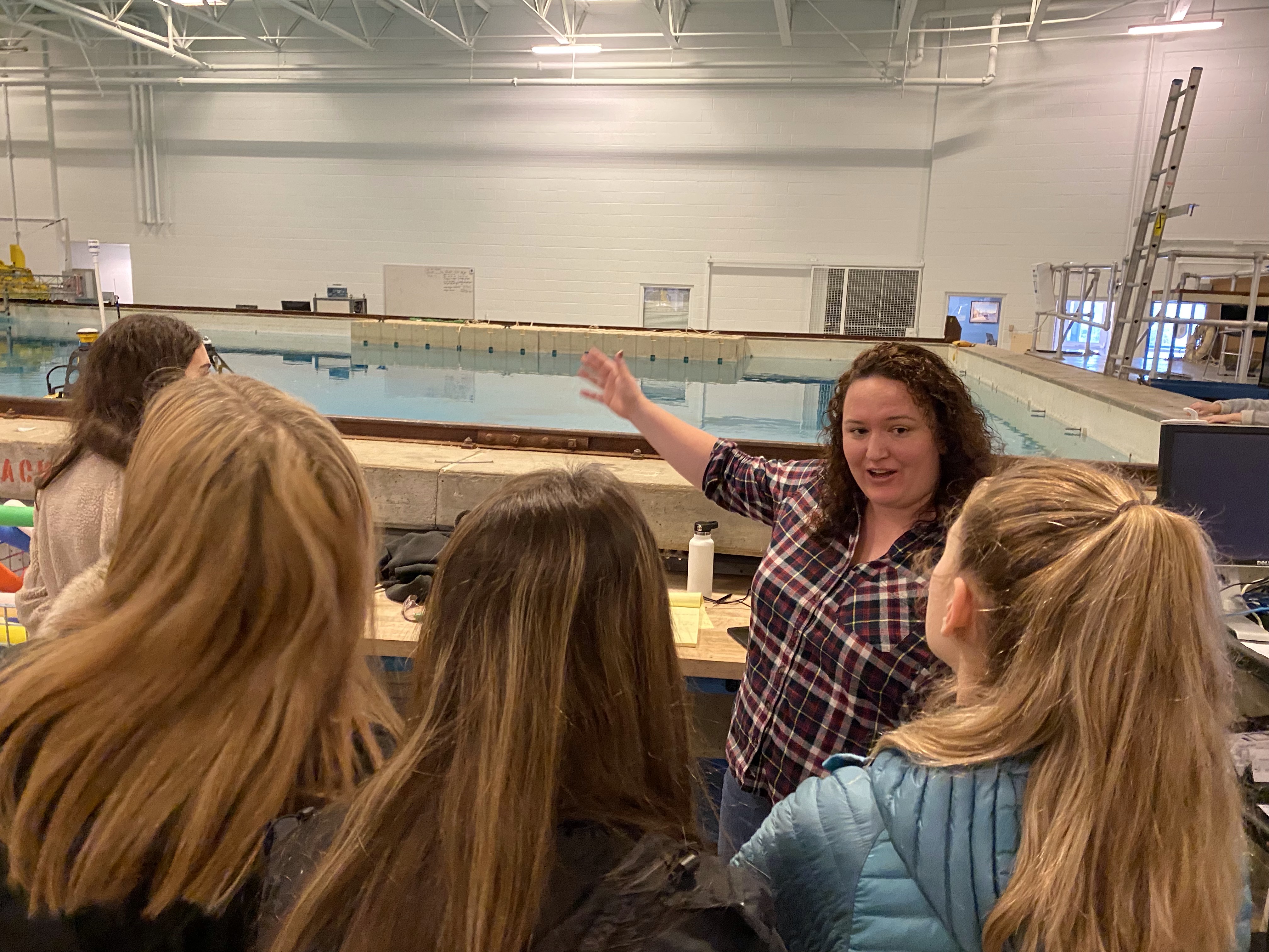
The Center for Coastal and Ocean Mapping/NOAA-University of New Hampshire Joint Hydrographic Center
hosted the Girls Technology Day on January 15. Physical Scientist
, from Office of Ocean Exploration and Research participated as presenters. Girls in Technology workshops encourage New Hampshire female high school students to consider careers in a STEM field. About forty students toured the CCOM/JHC facility and participated in hands-on activities in the ocean mapping and ocean engineering fields. For more information contact the organizer of this event, CCOM Outreach Specialist
.
Staff Updates
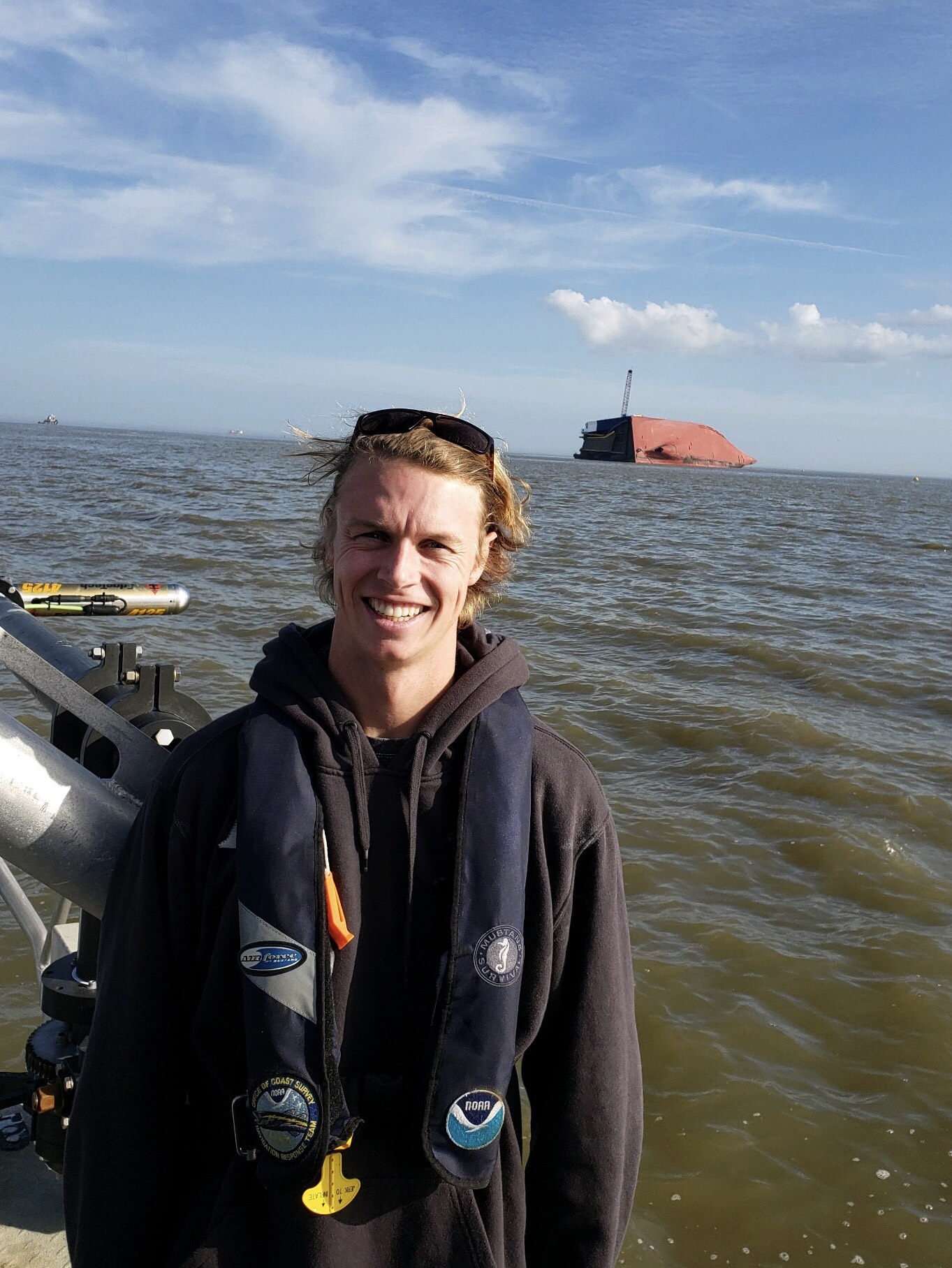
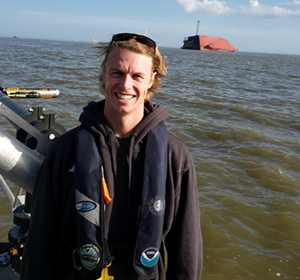
Quentin Stubbs
Navigation Services Division's (NSD) Customer Affairs Branch welcomes
Quentin Stubbs as the new Western Gulf Coast navigation manager. Quentin most recently served as a geographer and regulatory specialist with the U.S. Army Corps of Engineers (USACE) in Galveston, Texas, where he managed projects and applications related to dredging, aquatic structures, hydrographic surveying, and GIS/remote sensing. He also has six years of experience as a geographer with the U.S. Geological Survey - Chesapeake Bay Program in Annapolis, Maryland. He holds a Ph.D. in geographical sciences from the University of Maryland - College Park, a MPA from Columbia University, and a BBA from Mercer University. He looks forward to maintaining productive relationships among NOAA, USACE, the U.S. Coast Guard, pilots, and the community.
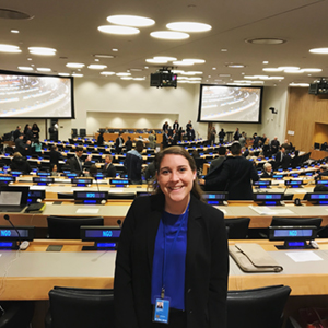
Alexis Maxwell
The Coast Survey front office staff welcomes
Alexis Maxwell (Lynker Technologies) as a maritime/international program support specialist. Alexis looks forward to contributing to the success of Coast Survey’s international endeavors. She recently served as a policy analyst with the Global Ocean Forum, where she facilitated the preparation and presentation of policy recommendations in United Nations, United Nations Framework Convention on Climate Change, and other processes. She completed her master's degree in marine policy from the University of Delaware in 2019 following her bachelor's degree in environmental studies from American University in 2017. Her hobbies include dancing, hiking, and spending time with friends.
Renee Galloway
Coast Survey welcomes
Renee Galloway who was selected for a six-month NOAA Rotational Assignment Program (NRAP) with the Resource Management Staff. Renee is a financial management specialist with National Geodetic Survey who has a wealth of budget execution experience having spent a number of years as a senior budget analyst for the NOS's Office of Management & Budget, Resource Management Division.
Lucy Hick
NSD welcomes
Lucy Hick as the new chief of the Customer Affairs Branch. Lucy has been with Coast Survey for 17 years, during which she served in many different capacities in both the field and the office. During this time, she has worked in three different divisions (NSD, HSD, and the Coast Survey Development Lab) as well as in the Coast Survey staff office. In her new role, Lucy looks forward to fostering Coast Survey's relationships with our customers and stakeholders and promoting our world-class navigation services and products.
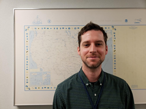
Joseph Bentley
Joseph Bentley joined Production Branch D in the Marine Chart Division (MCD) as a federal employee after working as a contractor. He attended Towson University and Montgomery College (MC), and developed an affinity for cartography and GIS after receiving mentorship in the applied geography department at MC. After completing an associate of applied science degree in 2018, he interned at the National Park Service through a placement by AmeriCorps before coming on board as a NOAA contractor. He is a DMV native that enjoys writing music, hiking, and spending time with his partner, family, and friends.
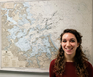
Kathryn O'Neill
Kathryn O’Neill recently joined MCD's Production Branch G as a federal employee after working as a contractor. She completed her master’s degree in GIS at the University of Maryland in 2018 while working at the National Library of Medicine at the National Institutes of Health. Before moving to the Washington area, Kathryn lived in Providence, Rhode Island, and Boston, Massachusetts. She holds a bachelor’s degree in environmental science from Boston University, and her hobbies include cooking, reading, and trying new breweries with her husband.
Howie Meyers
NSD welcomes
Howie Meyers as a federal employee. Howie joined the Coast Survey team as a contractor in the fall of 2017 as a member of the navigation response team homeported in Fernandina Beach, Florida. Howie has been a part of many post-hurricane emergency response surveys and feels fortunate to be able to play a small part in the relief efforts for the areas affected. Howie is from Long Island, New York, where he grew up on the water sailing competitively. He attended the College of Charleston where he continued his sailing career. While there, he studied geology but focused on marine geology and seafloor mapping within the school’s BEAMS program. He was exposed to the world of hydrography and participated in a number of hydrographic survey cruises as an undergrad. He is happy to be on board.
In May 2015,
Meredith Westington relocated to NOAA's National Centers for Environmental Information (NCEI) in Boulder, Colorado, to support a newly established, centralized office for the interagency U.S. Extended Continental Shelf Project. During her detail, she participated in developing the documentation and geospatial data to support the U.S.' future entitlement to resources of the seabed and subsoil beyond the traditional 200 nautical mile limit. In October, Meredith started transitioning back into a full-time Coast Survey portfolio of work. Leveraging her time with NCEI, she is currently supporting the integrated ocean and coastal mapping team through the development of a bathymetry coverage and gap analysis of publicly accessible bathymetric data to inform strategic planning efforts that seek to fully map the U.S. seafloor by 2030. Additionally, she continues to provide expert knowledge on the law of the sea by supporting the MCD's CAT-B for nautical cartographers and the Navy's CAT-B for hydrographic surveyors training programs as well as assisting MCD with operationalizing the maritime limits and boundaries portfolio in an ENC-first world.
Opportunities
Marine Chart Division posted two Supervisory Cartographers, ZP-4, on USA Jobs. One is the chief of the Chart Standards Group (CSG), and the second is for the chief of the Formatting and Distribution Systems Branch (FADS). The annoucement is open from Tuesday, January 21, until January 31.
Three ZP2/3 entry level cartographer positions in MCD will be advertised in the next few weeks.
If you have any questions, please contact Mike.Brown@noaa.gov, deputy chief, Marine Chart Division.