October 23, 2019
Greetings and Salutations, Coast Survey,
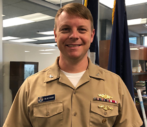
Thank you to Capt. Brennan for the opportunity to address the nation’s premier navigation services and products office and introduce myself as the new chief of the Navigation Services Division (NSD). Thank you also to Capt. Jim Crocker for turning over such a strong, capable, and motivated group of professionals. I hope to build on the positive momentum he drove during his time here. Although this is my first Office of Coast Survey position since 2011, I have been thankful to continue collaboration with and collect data for the program at sea and ashore in the interim. I’m both excited and honored to be rejoining the Coast Survey fold!
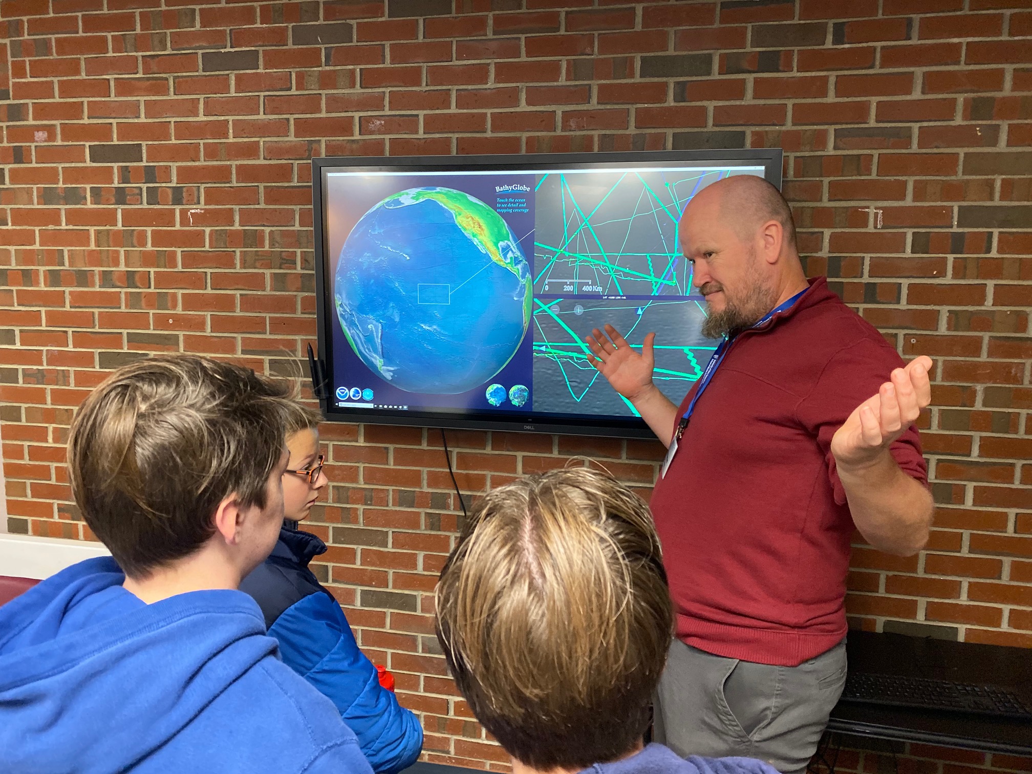
After three months here, I’m extraordinarily impressed with the scope of NSD’s mission, as well as the exemplary aptitude and energy displayed by the NSD team. My initial conversations and visits with personnel and partners from Boston to Key West, Louisiana to Alaska, and out to California and the Hawaiian Islands, prove that NSD’s core responsibility and most important role is in customer service. Our regional navigation managers conduct proactive customer outreach, stakeholder engagement, and partnership building. Our Navigation Response Branch personnel operate agile and innovative technology testing platforms while providing emergent hydrographic survey support for the U.S. Coast Guard, U.S. Army Corps of Engineers, and other key port partners. Finally, our seasoned group of publication professionals expertly maintain critical nautical documents such as the U.S. Coast Pilot® and U.S. Chart No. 1.
As we follow Rear Adm. Smith’s vision and advance Coast Survey's products and applications well into the 21st century, NSD leads the charge on one critical customer service-oriented pursuit: addressing unverified chart features (UCFs, previously known as chart discrepancies). Over centuries of production, these cartographic symbols (some marked as “position approximate”, “existence doubtful”, or “position doubtful”, for example), have slowly multiplied and in many cases cluttered the nautical chart. As a result, this OCS product, essential for safe navigation, suffers lost credibility and value in many mariners’ eyes. Working alongside members of the Hydrographic Surveys and Marine Chart divisions, NSD is developing policy to (1) define and identify UCFs; (2) outline a process for UCF investigation; (3) update the nautical chart and Nautical Information System for addressed UCFs; and (4) establish appropriate tracking and reporting metrics. OCS in-house, contract, and OMAO-supported field units will be tasked with UCF investigations (primarily NSD’s Navigation Response Teams) beginning this fiscal year, thus helping elevate the reliability and quality of the nation’s nautical charts.
The above is just one of many strategic goals within the NSD portfolio, and I look forward to continuing development of and fostering positive, collaborative relationships and customer service within Coast Survey and our external partners.
Thank you all for the warm welcome back, and be sure to take care of yourselves and each other.
Capt. Chris van Westendorp
Chief, Navigation Services Division