By Julia Wallace and Lt. j.g. Michelle Levano
NOAA Ship Nancy Foster conducted survey operations offshore of coastal South Carolina from August 12-30, 2019, as a joint effort between NOAA’s Office of Coast Survey and Office of Ocean Exploration and Research. This survey encompassed portions of the Blake Plateau, and was particularly special because this region has never been mapped using contemporary sonar systems. The project served Coast Survey’s mission of providing contemporary data to update nautical charting products and supported the U.S. contribution to Seabed 2030, a multi-national initiative to map the world ocean by 2030. NOAA’s contribution to this project includes providing continuous multibeam survey coverage within the U.S. Exclusive Economic Zone.
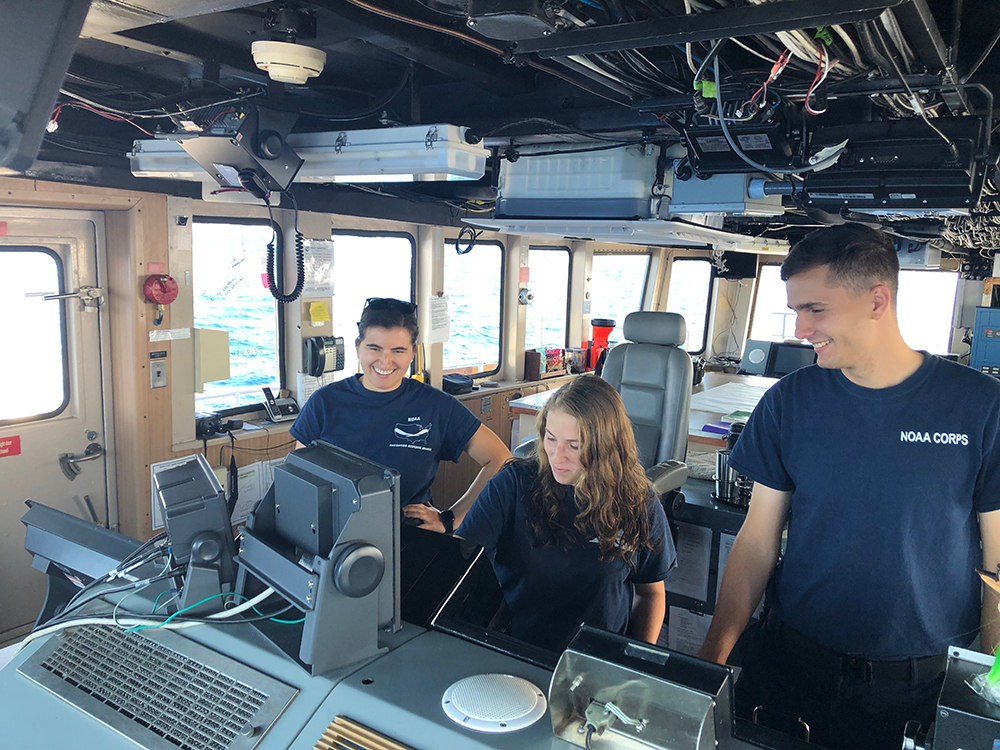
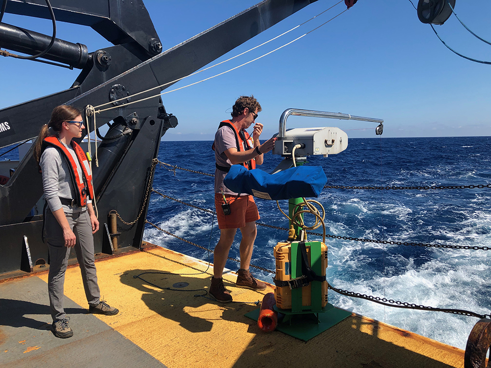
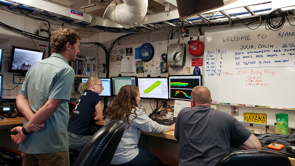
NOAA Ship Nancy Foster surveyed the Blake Plateau using hull-mounted multibeam sonars. Coast Survey’s Physical Scientist (PS) Julia Wallace served as chief of party for this project. The chief of party is responsible for working closely with the ship’s command to ensure safe and efficient operations, and for high data quality and management. PS Wallace worked closely with the ship’s survey team including Senior Survey Technician (SST) Sam Martin and Survey Technician (ST) Ben Barbee. They conducted 24-hour operations on board, monitoring multibeam sonar data collection and taking underway conductivity, temperature, and pressure (CTD) measurements to determine the speed of sound through the water. Conducting 24-hour operations requires the hard work and dedication of the entire crew, from the stewards cooking delicious meals to those standing watch on the bridge. Everyone must work together in order to accomplish the mission while ensuring the safety of the crew and the ship.
The science party was comprised of a diverse group from within NOAA and partner organizations. National Weather Service Incident Meteorologist (IMET) Mike Proud sailed with the ship for both legs. He provided crucial, real-time weather forecasting that assisted the command and science party in making decisions, which maximized operations while also keeping the ship and crew safe from rough seas. The science party also included Coast Survey PS Colin Stewart, Cape Fear Community College student Jessica Hufham, and NOAA affiliate Veronica Martinez from NOAA’s National Centers for Environmental Information (NCEI) in Boulder, Colorado. She assisted in reviewing Nancy Foster’s data management and archival procedures. Augmenting watch standers, Lt. Cmdr. Damian Manda and Lt. j.g. Michelle Levano, also assisted with survey operations and troubleshooting. The project was successful due to the hard work and varied backgrounds of the augmenting science party.
The Blake Plateau lies at the bottom of the Atlantic Ocean, off the coast of North Carolina, South Carolina, Georgia, and Florida. Associated with the Blake Ridge and Blake Basin, the Blake Plateau is located on the North American continental shelf. Featuring variable slopes and plateaus, this region ranges in depth from approx. 150 meters to 1800 meters (500 feet to 6000 feet). The geographic features in this area are named after the U.S. Coast and Geodetic Survey steamer George S. Blake, which was the first vessel to utilize steel cable to conduct oceanographic operations, and pioneered Deep Ocean and Gulf Stream exploration.
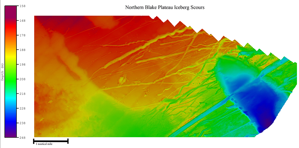
The seafloor of the Blake Plateau is dynamic and gives us a glimpse at what our oceans looked like during the end of the last ice age. As the seafloor drops off from the upper slope, the data show signs of long, deep channels that meander across the seafloor. Sharp and deep, these channels are an average of 10 meters (30 feet) deep and 100 meters (300 feet) wide. Some twist and curve, some end abruptly, others run straight for miles, almost appearing man-made. These cuts were created by icebergs during the last ice age when sea levels were considerably lower. As the Earth began to warm, large volumes of meltwater and icebergs flowed into the Atlantic from the polar regions. It is believed that this flow created a narrow coastal current, running southward along what is now the United States. Massive icebergs carried by the current scraped against the seafloor creating channel-like features, known as Iceberg Scours. As more of these scours are discovered, researchers will able to learn more about the state of our oceans during the last ice age.