By ENS Cullen Hauck
NOAA Ship Fairweather went farther north than ever before for the U.S. Coast Guard’s Port Access Route Study, a multi-year effort to establish new maritime traffic routes, safety zones, and use areas in the U.S. Arctic waters.

News and Updates

By ENS Cullen Hauck
NOAA Ship Fairweather went farther north than ever before for the U.S. Coast Guard’s Port Access Route Study, a multi-year effort to establish new maritime traffic routes, safety zones, and use areas in the U.S. Arctic waters.

NOAA Ship Rainier charts volatile, glacially active waters in Glacier Bay National Park
By ENS P. Giamportone and ENS N. Greenlaw
In August 2025, NOAA Ship Rainier pulled into Lituya (lih-TOO-yuh) Bay, an inlet tucked within the outer edge of Glacier Bay National Park. The name is of Tlingit origin, meaning “lake within the point,” and the Bay has long been a source of sustenance and shelter. The entrance is narrow and turbulent, and the glacial walls make it vulnerable to rockslides and their following waves.
Continue reading “The latest expedition in Lituya Bay: NOAA and National Park Service collaborate to update nautical charts”
The federal Interagency Working Group on Ocean and Coastal Mapping recently released the sixth annual report on progress made in mapping U.S. ocean, coastal, and Great Lakes waters. To safeguard our national security and economic prosperity, ocean mapping, exploration, and characterization is foundational to maritime commerce, domestic energy and seafood production, tourism and recreation, and understanding of our natural resources, among other interests. The 2020 National Strategy for Mapping, Exploring, and Characterizing the United States Exclusive Economic Zone (NOMEC) makes comprehensive ocean mapping a priority for the coming decade. The Unmapped U.S. Waters report tracks progress toward these important goals.
Continue reading “The Interagency Working Group on Ocean and Coastal Mapping announces progress on mapping U.S. ocean, coastal, and Great Lakes waters”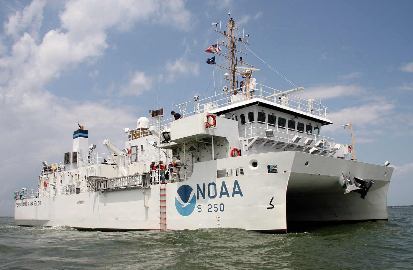
Over the spring and summer of 2024, NOAA Ship Ferdinand R. Hassler surveyed an area southeast of Cape Fear, North Carolina. This area is unique to the East Coast of the United States—whereas most of the East Coast’s seabed is sandy and has large areas of sand waves, this area does not have as much deep sand cover and instead features exposed underlying bedrock.
Continue reading “Ancient river systems, glacial grooves, and steep cliffs discovered near Cape Fear, North Carolina”
The winter months represent an end to NOAA’s active survey season. During this period, hydrographic survey ships, navigation response team survey vessels, and contractor teams and vessels undergo maintenance and repair in anticipation of the upcoming survey season. NOAA’s 2025 survey season will begin soon as planned survey projects go through the planning and development process and begin to filter to the forefront of each field party’s focus. The ships and survey vessels collect bathymetric data (i.e. map the seafloor) to support nautical charting, modeling, and research, but also collect other environmental data to support a variety of ecosystem sciences. NOAA considers hydrographic survey requests from stakeholders such as marine pilots, local port authorities, the Coast Guard, and the boating community, and also considers other hydrographic and NOAA science priorities in determining where to survey and when. Visit our “living” ArcGIS StoryMap to find out more about our mapping projects and if a hydrographic vessel will be in your area this year!
Continue reading “NOAA’s 2025 hydrographic survey season is gearing up and will be underway soon”
As we look ahead to continued progress in 2025, NOAA’s Office of Coast Survey is proud to share some highlights of the past year with you. We mounted successful emergency responses to reopen ports quickly and safely after hurricanes and a bridge collapse; completed a five-year process to transition to fully electronic navigational chart production; provided hands-on learning experiences for students aboard NOAA Ship Nancy Foster; and much more, all in service of delivering authoritative ocean and lakebed mapping information as the nation’s chartmaker.
Continue reading “Office of Coast Survey 2024 Year in Review”
The Hydrographic Survey Specifications and Deliverables document contains the technical specifications for hydrographic survey data submitted to the Office of Coast Survey. It represents NOAA’s implementation of the International Hydrographic Organization standards for hydrographic survey and product specifications. Coast Survey is proud to announce the launch of the new Hydrographic Survey Specifications and Deliverables for 2024, the largest overhaul of the document in more than 20 years.
Continue reading “Technical specifications for submitting hydrographic survey data get an overhaul”
The National Oceanic and Atmospheric Administration’s 2024 hydrographic survey season is ramping up and will be in full swing before too long. For the past few months, NOAA hydrographic survey ships, navigation response teams, and contractors have been diligently preparing for the upcoming field season. The ships and survey vessels collect bathymetric data to support nautical charting, modeling, and research, but also collect other environmental data to support a variety of ecosystem sciences. NOAA considers hydrographic survey requests from stakeholders such as marine pilots, local port authorities, the Coast Guard, and the boating community, and also considers other hydrographic and NOAA science priorities in determining where to survey and when. Visit our “living” ArcGIS StoryMap to find out more about our mapping projects and if a hydrographic vessel will be in your area this year!
Continue reading “NOAA’s 2024 hydrographic survey season is underway”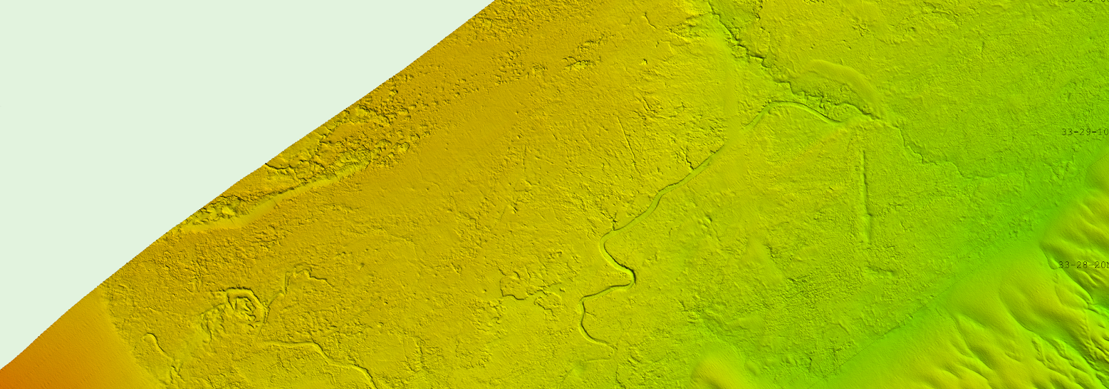
During the 2023 field season, NOAA Ship Ferdinand R. Hassler was tasked with surveying an area offshore of Wilmington, North Carolina, in the vicinity of Frying Pan Shoals—a dynamic area of dangerously shallow waters. While scientists and crew conducted mapping surveys of the seafloor, they discovered what is believed to be well-preserved ancient remnants of a paleochannel system that could give us a glimpse as to what our North Carolina coastline looked like approximately 20,000 years ago. The location of these newly discovered paleochannels indicates that they may have once been part of North Carolina’s historic Cape Fear River and likely were above sea level during the Last Glacial Maximum.
Continue reading “Possible Ancient River System Discovered off Wilmington, North Carolina”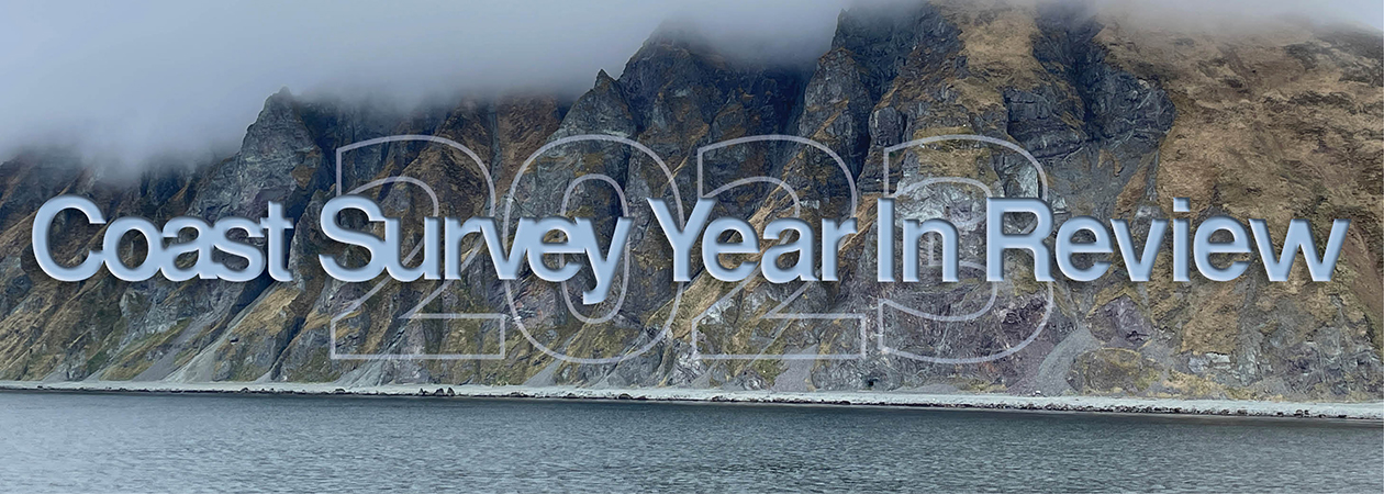
NOAA’s Office of Coast Survey is reflecting on a successful and remarkable 2023! We completed many significant activities with meaningful impacts. As we look ahead to more progress in 2024, we are proud to share some highlights of the past year in our Coast Survey Year in Review ArcGIS StoryMap.
Continue reading “A look back at 2023 and the Office of Coast Survey’s significant activities throughout the year”