

The Hydrographic Survey Specifications and Deliverables document contains the technical specifications for hydrographic survey data submitted to the Office of Coast Survey. It represents NOAA’s implementation of the International Hydrographic Organization standards for hydrographic survey and product specifications. Coast Survey is proud to announce the launch of the new Hydrographic Survey Specifications and Deliverables for 2024, the largest overhaul of the document in more than 20 years.
While the document is renewed annually based on feedback from the hydrographic community, this more comprehensive overhaul marks a full-scale modernization to best support products based on the International Hydrographic Organization’s S-100 framework. This modernization also allows for seamless integration with the National Bathymetric Source project and our compilation of best available bathymetric data, BlueTopo™, for efficient product generation and public access to our national bathymetry.
The development of the new specifications was further driven by a clear vision to embrace emerging technologies, enhance automation capabilities, and best encompass the wide variety of data that Coast Survey ingests. This includes facilitating the use of data generously contributed by our partners. The incorporation of S-100 based metadata tags and universal data licenses enables streamlined, scalable data handling, while also simplifying how we share data. These measures are vital in promoting timely, equitable data access, fostering collaboration, and advancing our national and global mapping objectives.
The revamped Hydrographic Survey Specifications and Deliverables drew from decades of experience contained within previous versions and subject matter experts within NOAA. In 2023, a draft of the new specifications was made available for public comment through a Federal Register notice, and the document benefited greatly with input from the larger hydrographic community.
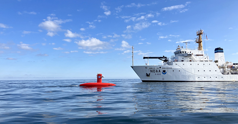
Also in 2023, NOAA Ship Thomas Jefferson and Navigation Response Team Seattle beta-tested the new Hydrographic Survey Specifications and Deliverables, which helped quantify the operational impacts and readiness of the new specifications. Working together with experts from the University of New Hampshire’s Center for Coastal and Ocean Mapping/Joint Hydrographic Center, NOAA’s Hydrographic Systems and Technology Branch, and NOAA’s Hydrographic Surveys Division, the data processing and quality control tools that support the new specifications and ensure its automated compliance were delivered proactively to support beta-testing efforts. The co-development of specifications and tools, with real-time testing in the field, provided critical feedback loops between the writing teams and software developers, to ensure the specifications best facilitated automation.
The 2024 Hydrographic Survey Specifications and Deliverables document is the product of many teams working in close coordination—subject matter experts who composed many drafts, developers who updated critical tools, project managers who assigned surveys under this new paradigm, field units who beta-tested new specifications, and the hydrographic community who reviewed numerous drafts and provided generous and thoughtful feedback. A sincere thanks to all who contributed!