Technical specifications for submitting hydrographic survey data get an overhaul

The Hydrographic Survey Specifications and Deliverables document contains the technical specifications for hydrographic survey data submitted to the Office of Coast Survey. It represents NOAA’s implementation of the International Hydrographic Organization standards for hydrographic survey and product specifications. Coast Survey is proud to announce the launch of the new Hydrographic Survey Specifications and Deliverables for 2024, the largest overhaul of the document in more than 20 years.

Continue reading “Technical specifications for submitting hydrographic survey data get an overhaul”

NOAA represented at the International Hydrographic Organization Assembly in Monaco

An image of the harbor of Monte Carlo.

In early May, NOAA’s Office of Coast Survey Deputy Hydrographer John Nyberg, Ph.D., was elected as a director of the International Hydrographic Organization (IHO) during its Third Assembly. The six-year term begins in September and promises to be a critical time for the evolution of digital navigation infrastructure and capacity worldwide, with the implementation of the S-100 hydrographic model. John was nominated by the secretaries of commerce, defense, and state. His role will be to serve as part of the directing committee which is composed of a Secretary General and two directors to manage the day-to-day operations of the organization in order to advance the goals of the Member States.

Continue reading “NOAA represented at the International Hydrographic Organization Assembly in Monaco”

New NOAA website provides marine navigation resources in a central location

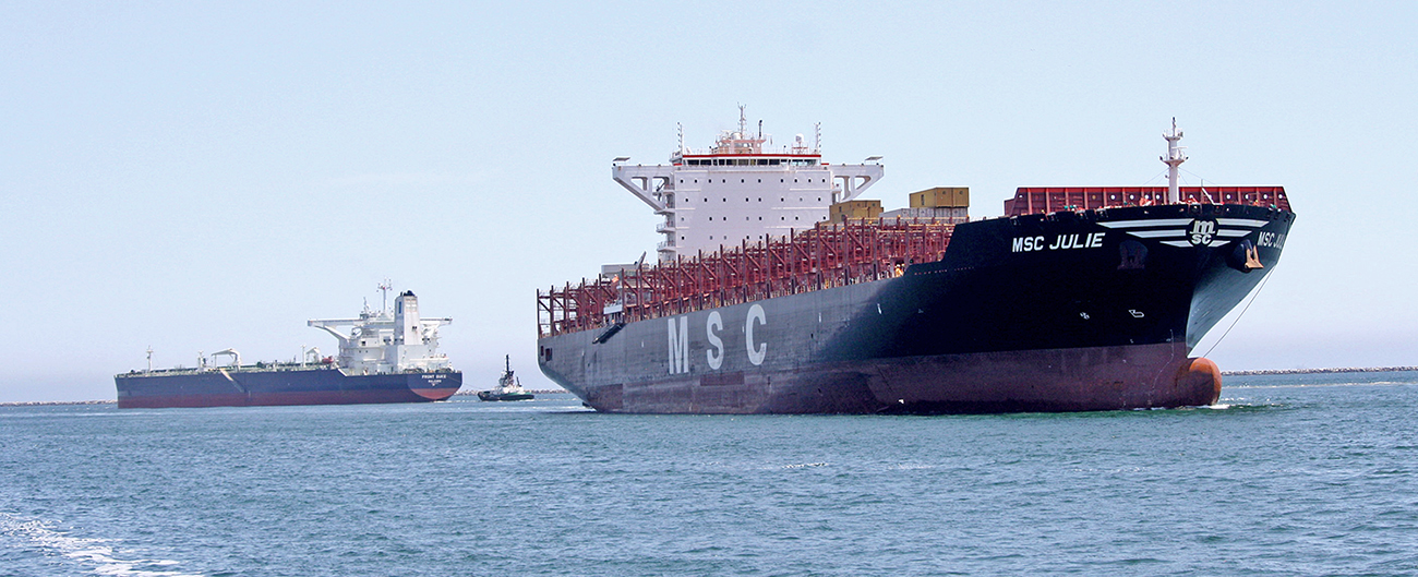
Commercial vessels navigating in the Port of Los Angeles-Long Beach

A recently launched website from NOAA’s Precision Marine Navigation (PMN) program will improve the use and accessibility of NOAA’s marine navigation products and services. The website, Marine Navigation, includes links and short descriptions to NOAA’s various navigation resources, providing a one-stop shop that mariners can visit to get the data they need. Designed for shipping professionals and recreational boaters alike, the PMN program hopes the website will become a valuable tool to support all mariners in their navigation planning and decision making processes.

Continue reading “New NOAA website provides marine navigation resources in a central location”

NOAA’s Precision Marine Navigation data service receives first major update

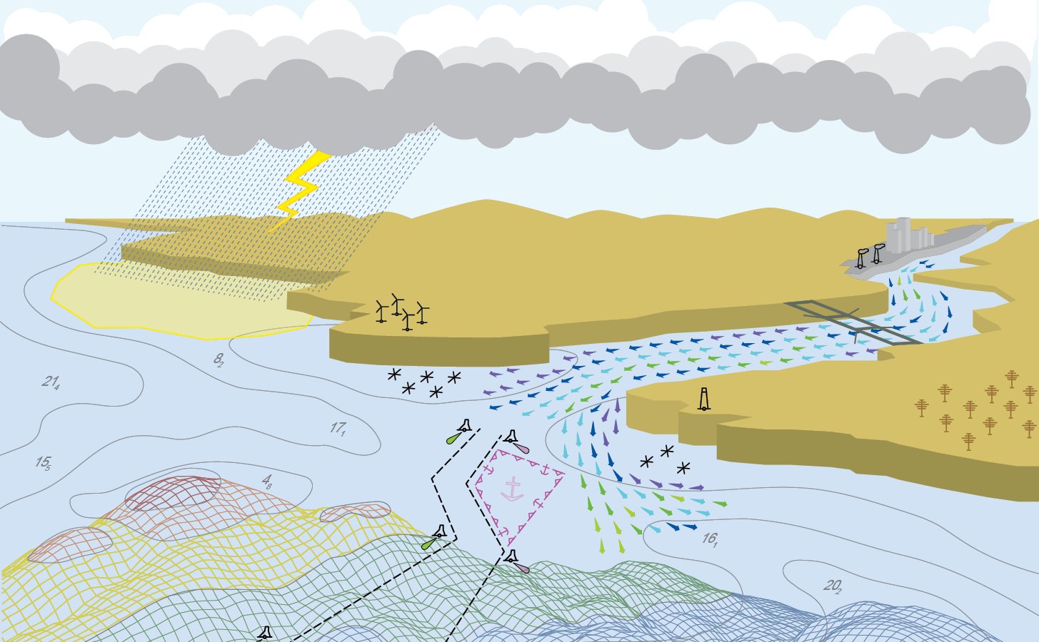
The Precision Marine Navigation (PMN) program has completed the first update of its prototype navigation data service – the PMN data processing and dissemination system and PMN Data Gateway viewer. The data processing and dissemination system provides surface current forecast guidance from NOAA’s forecast systems, in a prototype marine navigation data format. The viewer allows users to visualize the predictions and discover where they are. Both the system and the viewer were updated to include data from the recently upgraded Northern Gulf of Mexico Operational Forecast System (NGOFS2).

Continue reading “NOAA’s Precision Marine Navigation data service receives first major update”