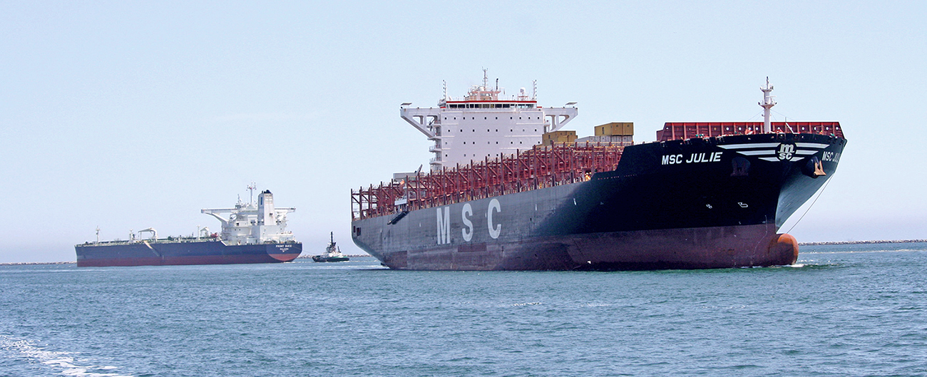
A recently launched website from NOAA’s Precision Marine Navigation (PMN) program will improve the use and accessibility of NOAA’s marine navigation products and services. The website, Marine Navigation, includes links and short descriptions to NOAA’s various navigation resources, providing a one-stop shop that mariners can visit to get the data they need. Designed for shipping professionals and recreational boaters alike, the PMN program hopes the website will become a valuable tool to support all mariners in their navigation planning and decision making processes.
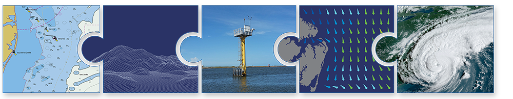
Throughout every step of a voyage, mariners consult a variety of data products, observations, and forecasts that provide the most up-to-date and accurate information on various hydrological and meteorological parameters. These parameters can range from bathymetric data to marine weather warnings and surface-current patterns. While much of this information is provided by NOAA, it is produced by multiple line offices and programs, and as a result is stored in several different locations. When it comes time to make a critical decision, it can be difficult to find the necessary information in a timely manner. The new website will act as a central hub for these resources, directing users to the most relevant data source or tool based on their need.
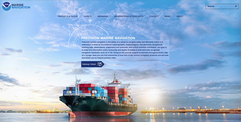
Marine Navigation incorporates an intuitive and easy to navigate design that is functional on all devices, with webpages organized by the type of data or information they link to. Interested in downloading the latest NOAA Electronic Navigational Chart? Head to the Nautical Charts webpage to find the appropriate link. Need to know the current water levels in the Port of Tacoma? The Water Levels tab on the Real-time Observations webpage can direct you to the Physical Oceanographic Real Time System (PORTS) site. By making NOAA’s navigation data and resources easier to find, mariners will be better equipped to make critical decisions that can lead to numerous safety, environmental, and financial benefits.
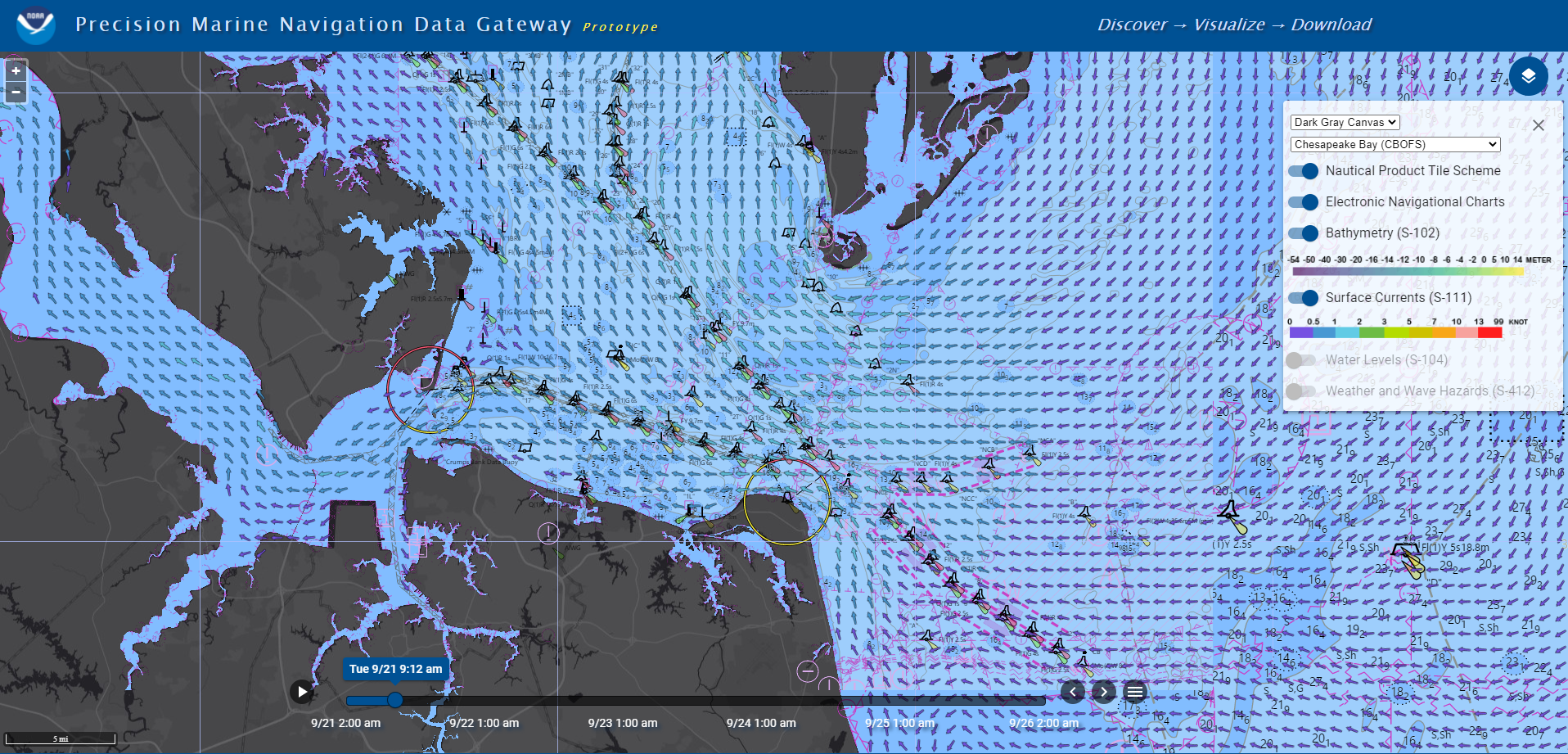
The website also hosts the PMN program’s new suite of next-generation navigation resources. It includes webpages dedicated to NOAA’s S-100 data products – the PMN processing and dissemination system – and the PMN Data Gateway Viewer. S-100 provides the international standards for navigation data that allow for machine-to-machine readability. NOAA is helping to develop those standards for navigationally significant data such as high-resolution bathymetry, water levels, surface current forecasts, and more. The PMN processing and dissemination system will ingest NOAA’s navigation data and disseminate it to users in formats consistent with the new S-100 standards, making it accessible by various navigation systems and devices. A webpage for developers instructs users on how to access and utilize these new data products. Finally, the PMN Data Gateway Viewer is an interactive map viewer that allows users to discover where NOAA’s S-100 products are available, visualize the data, and download it.
One of the PMN program’s primary goals is to develop information infrastructure that improves the safety and efficiency of the marine transportation system. Marine Navigation can do just that by making NOAA’s navigation resources more accessible and available. In the future, it will incorporate resources from other federal agencies besides NOAA, in hopes of becoming the primary website mariners use for all of their navigation needs.
The PMN program welcomes all feedback through the NOAA ASSIST tool. Please mention Precision Marine Navigation in your comment so that it is properly flagged for our team. For more information or if you have any questions, you can reach out to marinenav.team@noaa.gov.