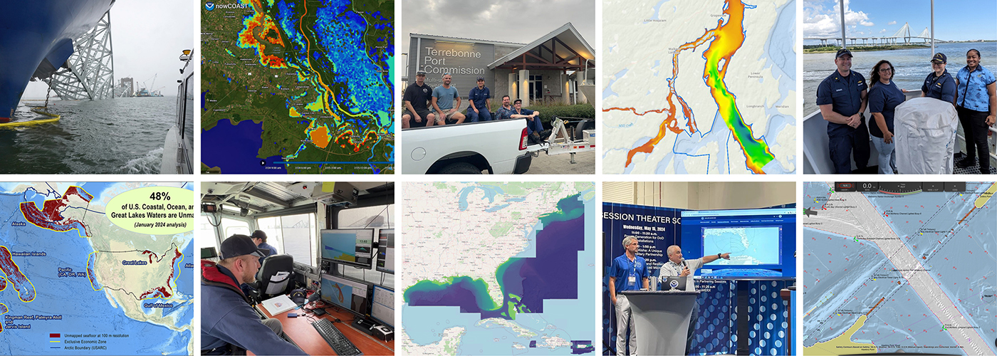
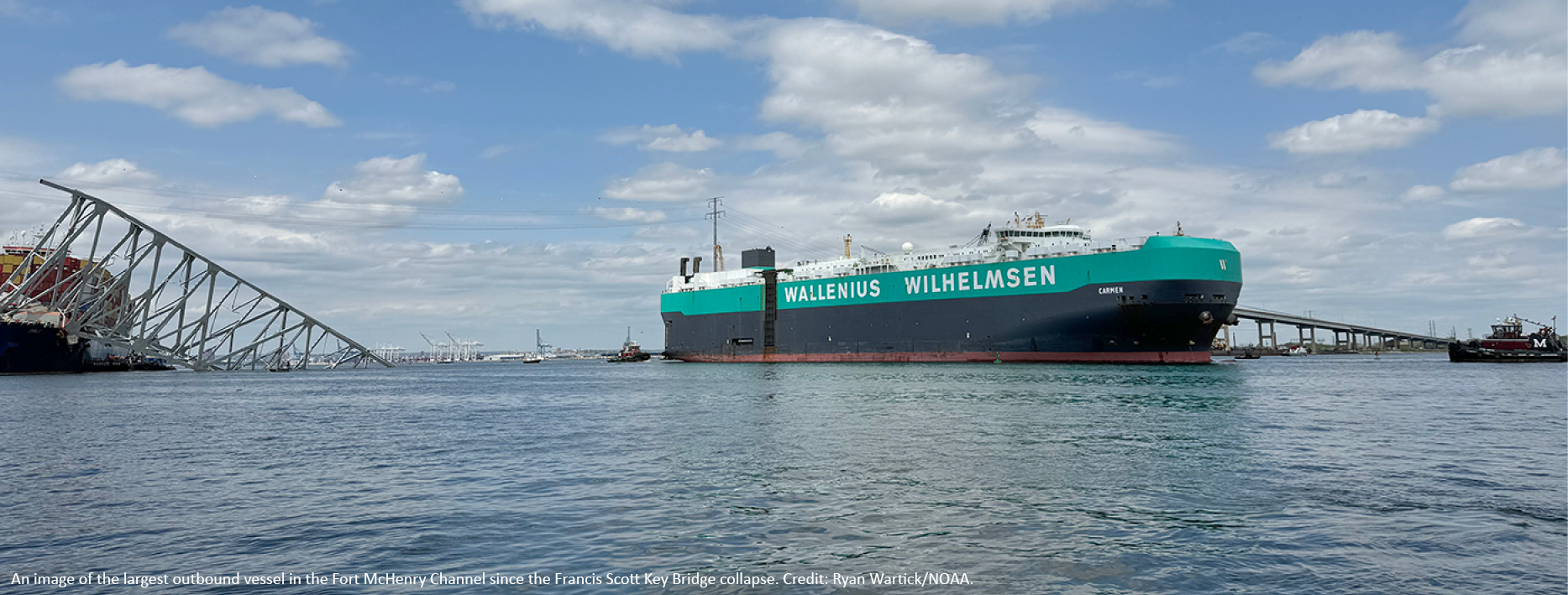
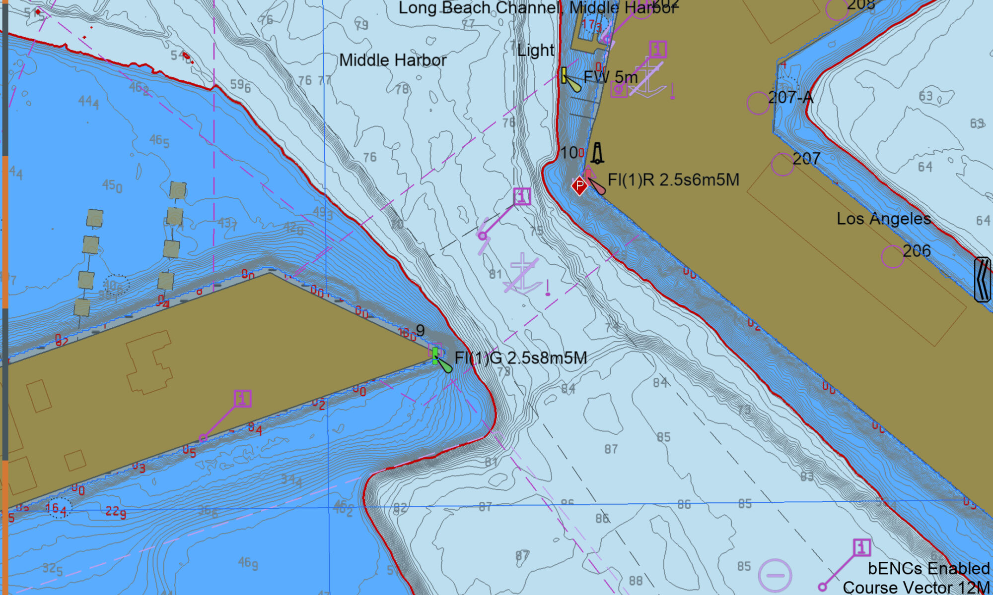
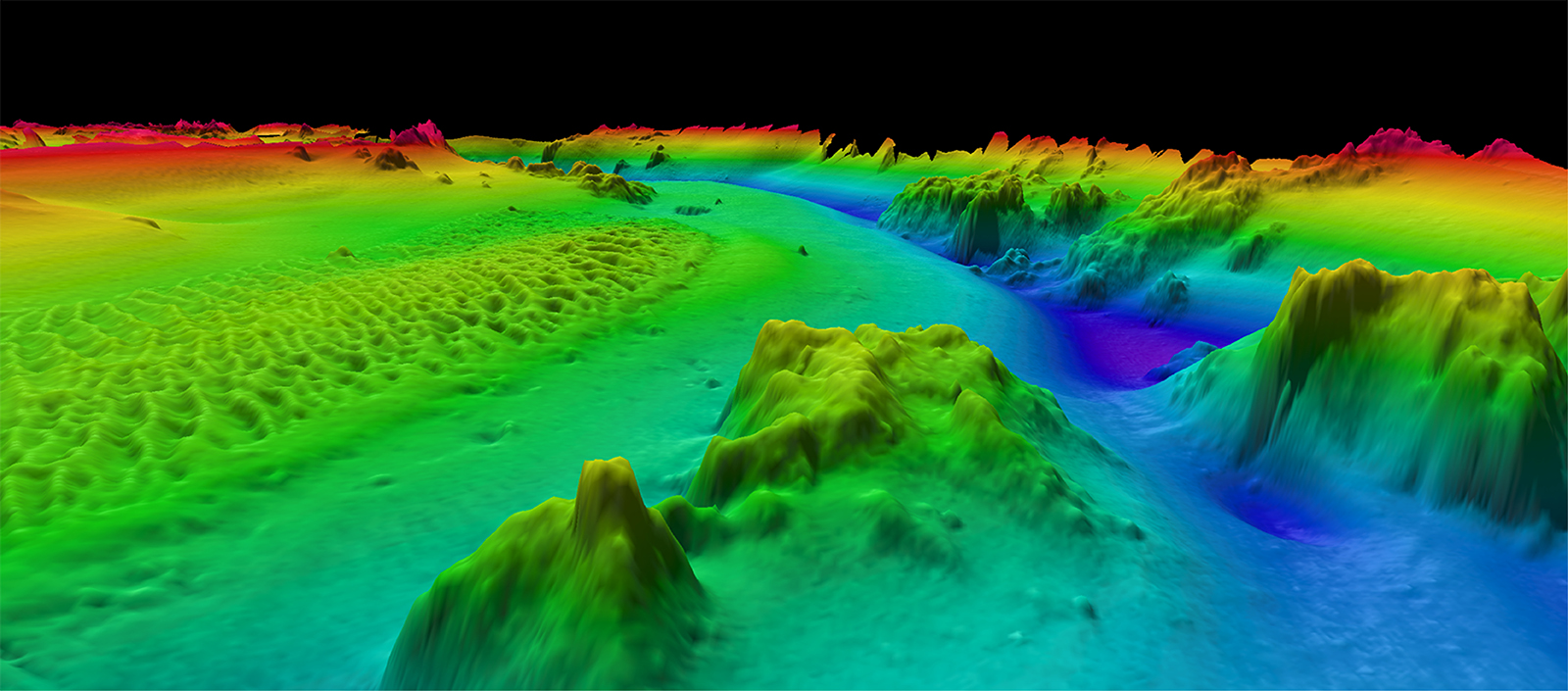
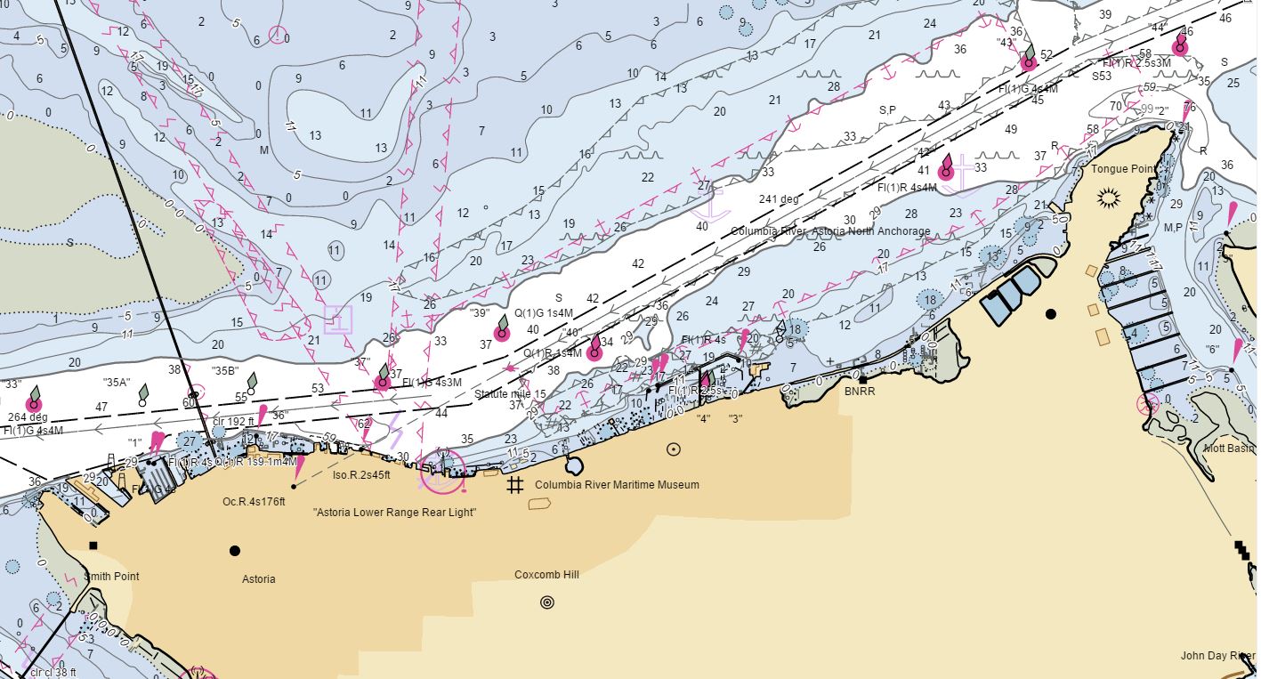
The Port of New Orleans, is one of the largest ports in the United States. It spans both sides of the Mississippi River in the state of Louisiana, with its lower limit situated approximately 80 miles above the confluence of three major passes used to access the river from the Gulf of Mexico. The city of New Orleans serves as the primary commercial hub within the port’s limits. As one of the largest cities along the Gulf Coast, it is a natural gateway for trade, connecting the vast central and southern regions of the nation, particularly the entire Mississippi River Valley, via numerous inland water routes.
Continue reading “NOAA updates bridge clearances crossing one of the most important waterways in the United States”Data dissemination web interface supports navigation
Imagine navigating a vessel along the coast and planning the approach to your destination, whether that be a local marina or large vessel berth in a harbor. What factors affecting the movement of the vessel should you be aware of once underway and in transit through the entrance and into the port? These may include observations on the present and forecasted weather, water current speed and direction, water depths and tidal direction, and any anomalies or warnings that may exist. Knowing what these factors are will assist you in preparing your vessel for safe passage to the destination.
Continue reading “Data dissemination web interface supports navigation”
The Office of Coast Survey’s ongoing response to the Francis Scott Key Bridge disaster
On Tuesday, March 26, 2024, the 984-foot M/V DALI allided with the Francis Scott Key Bridge near Baltimore, Maryland, sending the bridge tumbling into the Patapsco River, resulting in the tragic loss of six construction workers, and triggering a local, state, and federal response. Large sections of the bridge’s structure lay across the main shipping channel into the Port of Baltimore closing the deepest shipping lane into and out of the port, and resulting in an estimated loss of $15 million in daily economic activity for the area. All shipping traffic was diverted from the area, enabling first responders to conduct high-priority rescue and recovery operations and allowing highly trained salvage crews to begin the arduous task of removing bridge wreckage. Due to the amount of debris in the water, it was evident that salvage operations would take some time, and the priority at the time was to open the port for at least some vessel traffic.
Continue reading “The Office of Coast Survey’s ongoing response to the Francis Scott Key Bridge disaster”A look back at 2023 and the Office of Coast Survey’s significant activities throughout the year
NOAA’s Office of Coast Survey is reflecting on a successful and remarkable 2023! We completed many significant activities with meaningful impacts. As we look ahead to more progress in 2024, we are proud to share some highlights of the past year in our Coast Survey Year in Review ArcGIS StoryMap.
Continue reading “A look back at 2023 and the Office of Coast Survey’s significant activities throughout the year”Vessel pilots transition to new chart format
NOAA’s Precision Marine Navigation (PMN) program aims to seamlessly integrate high-resolution bathymetry and high accuracy positioning and shoreline data with the forecast data of water levels, currents, waves, and weather forecasts. This information can be easily accessed and integrated into maritime electronic charting systems and other decision support tools so mariners can plan their transits and make decisions while at sea and coming to and from port. A key component of this program is providing vessel pilots with detailed depth information to ensure safety of vessel transits and that critical under keel clearance safety margins are maintained. Electronic navigational charts, although accurate, typically do not provide the detail that pilots prefer.
Continue reading “Vessel pilots transition to new chart format”NOAA Custom Chart version 2.0 now available to the public
On February 14, 2023, NOAA’s Office of Coast Survey released NOAA Custom Chart version 2.0, a dynamic map application, which enables users to create their own paper and PDF nautical charts derived from the official NOAA electronic navigational chart (NOAA ENC®), NOAA’s premier nautical chart product.
Continue reading “NOAA Custom Chart version 2.0 now available to the public“3D Nation Study report, website, and StoryMap now available
The 3D Nation Elevation Requirements and Benefits Study focuses on 3D elevation data on land and under water.
A new StoryMap on the 3D Nation Elevation Requirements and Benefits Study, which was published in September 2022, is now available. Sponsored by the National Oceanic and Atmospheric Administration (NOAA) and the U.S. Geological Survey (USGS), and conducted by Dewberry, the 3D Nation Study documents nationwide requirements and benefits of 3D elevation data both on land and under water. The study also estimates the costs associated with meeting these requirements and evaluates multiple scenarios for enhancing national elevation mapping programs.
Continue reading “3D Nation Study report, website, and StoryMap now available”Geospatial information in the Southwestern Pacific
By Dr. John Nyberg

NOAA’s Office of Coast Survey Deputy Hydrographer Dr. John Nyberg participated in a State Department Science Fellowship through the U.S. Embassy in Suva, Fiji this past summer. The fellowship’s main goal for the region is to assist in accelerating the use of coastal and marine spatial planning for marine conservation and to deliver a curriculum to support it. Dr. Nyberg was asked to pay particular attention to engaging Kiribati (pronounced Kiribas), home to the Phoenix Islands Protected Area, one of the world’s largest and most important protected areas. The government of Kiribati is in the process of re-evaluating their approach toward managing the area, and one of the primary goals is to encourage the use of marine spatial planning in that process.
Coast Survey launches NOAA Chart Display Service
The new NOAA Chart Display Service (NCDS) renders NOAA electronic navigational chart (NOAA ENC®) data with “traditional paper chart” symbology in online and offline applications for which a basemap of nautical chart data is desired, including GIS, web-based, and mobile mapping applications. The new service uses symbols, labels, and color schemes familiar to those who have used NOAA paper nautical charts or the NOAA Custom Chart application. NCDS is available as Esri REST Map Service, OGC Web Map Service (WMS), and MBTiles formats.
Continue reading “Coast Survey launches NOAA Chart Display Service”
New NOAA website provides marine navigation resources in a central location
A recently launched website from NOAA’s Precision Marine Navigation (PMN) program will improve the use and accessibility of NOAA’s marine navigation products and services. The website, Marine Navigation, includes links and short descriptions to NOAA’s various navigation resources, providing a one-stop shop that mariners can visit to get the data they need. Designed for shipping professionals and recreational boaters alike, the PMN program hopes the website will become a valuable tool to support all mariners in their navigation planning and decision making processes.
Continue reading “New NOAA website provides marine navigation resources in a central location”