
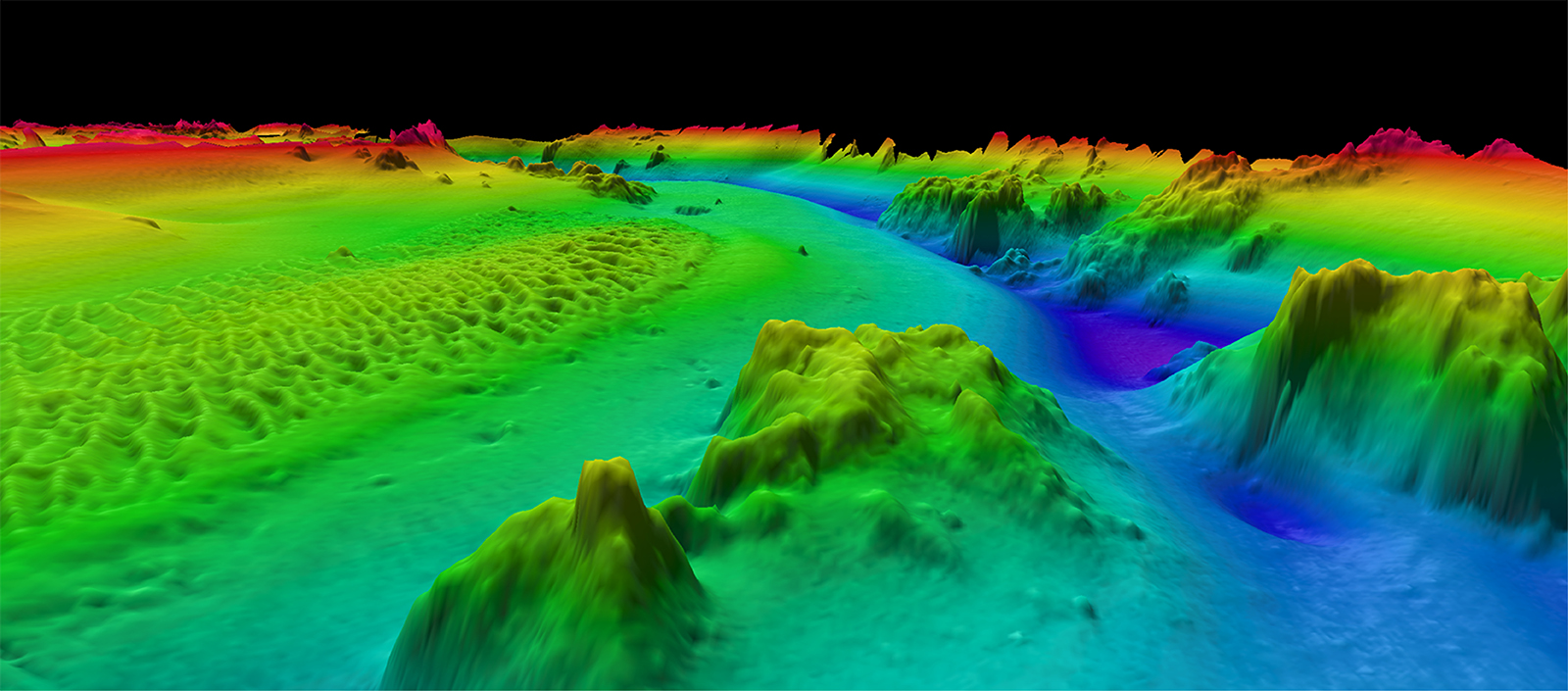
The 3D Nation Elevation Requirements and Benefits Study focuses on 3D elevation data on land and under water.
A new StoryMap on the 3D Nation Elevation Requirements and Benefits Study, which was published in September 2022, is now available. Sponsored by the National Oceanic and Atmospheric Administration (NOAA) and the U.S. Geological Survey (USGS), and conducted by Dewberry, the 3D Nation Study documents nationwide requirements and benefits of 3D elevation data both on land and under water. The study also estimates the costs associated with meeting these requirements and evaluates multiple scenarios for enhancing national elevation mapping programs.
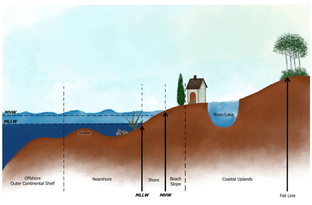
NOAA and USGS share a vision of a 3D nation enriched by a seamless elevation surface, from the peaks of our mountains to the depths of our waters. The goals of the 3D Nation study were to capture inland, nearshore, and offshore topographic and bathymetric elevation data requirements and benefits and understand how those requirements and benefits dovetail in the nearshore coastal zone. By learning more about business uses and associated benefits that are realized from improved 3D elevation data, for both heights and depths, mapping agencies can better prioritize and direct investments to best serve user needs.
Participants in the study included 45 federal agencies, 56 states and territories, and 58 non-governmental organizations. An analysis of the results showed that an improved national elevation program (both land elevations and water depths) has the potential to generate $13.5 billion in new benefits each year once fully operational. In addition, 1,352 mission critical activities related to business use were identified, including flood risk and coastal zone management, infrastructure and construction, natural resources conservation, geologic assessment and hazard mitigation, and marine and riverine navigation and safety, among others. The 3D Nation StoryMap helps illustrate the study’s many facets and the information provided by survey respondents.
More information about the federal interagency groups and activities related to topographic and bathymetric elevation mapping include:
- The 3D Elevation Program (3DEP), including program benefits and uses and updates on 3DEP partnership opportunities
- The Interagency Working Group on Ocean and Coastal Mapping
NOAA’s Integrated Ocean and Coastal Mapping Program and USGS are working on additional GIS-based visual interpretations of the 3D Nation Elevation Requirements and Benefits Study results. An ArcGIS Hub page with graphics, dashboards, and reports will be available later in 2023.