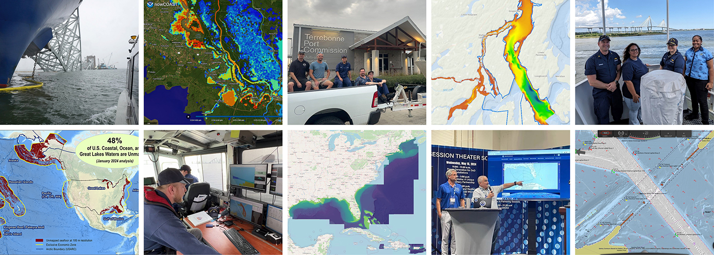
As we look ahead to continued progress in 2025, NOAA’s Office of Coast Survey is proud to share some highlights of the past year with you. We mounted successful emergency responses to reopen ports quickly and safely after hurricanes and a bridge collapse; completed a five-year process to transition to fully electronic navigational chart production; provided hands-on learning experiences for students aboard NOAA Ship Nancy Foster; and much more, all in service of delivering authoritative ocean and lakebed mapping information as the nation’s chartmaker.
Continue reading “Office of Coast Survey 2024 Year in Review”Data dissemination web interface supports navigation
Imagine navigating a vessel along the coast and planning the approach to your destination, whether that be a local marina or large vessel berth in a harbor. What factors affecting the movement of the vessel should you be aware of once underway and in transit through the entrance and into the port? These may include observations on the present and forecasted weather, water current speed and direction, water depths and tidal direction, and any anomalies or warnings that may exist. Knowing what these factors are will assist you in preparing your vessel for safe passage to the destination.
Continue reading “Data dissemination web interface supports navigation”
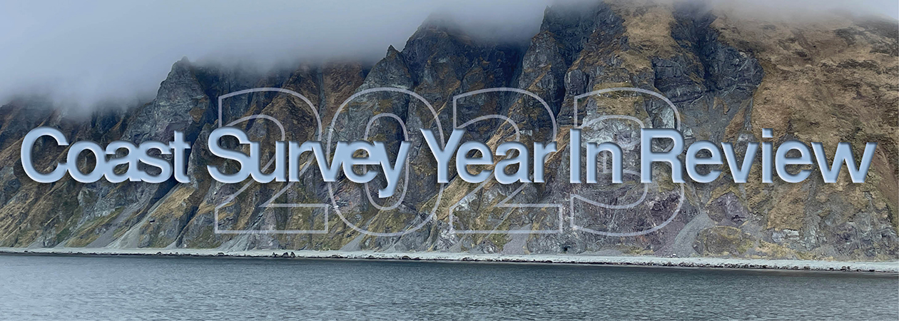
A look back at 2023 and the Office of Coast Survey’s significant activities throughout the year
NOAA’s Office of Coast Survey is reflecting on a successful and remarkable 2023! We completed many significant activities with meaningful impacts. As we look ahead to more progress in 2024, we are proud to share some highlights of the past year in our Coast Survey Year in Review ArcGIS StoryMap.
Continue reading “A look back at 2023 and the Office of Coast Survey’s significant activities throughout the year”NOAA represented at the International Hydrographic Organization Assembly in Monaco
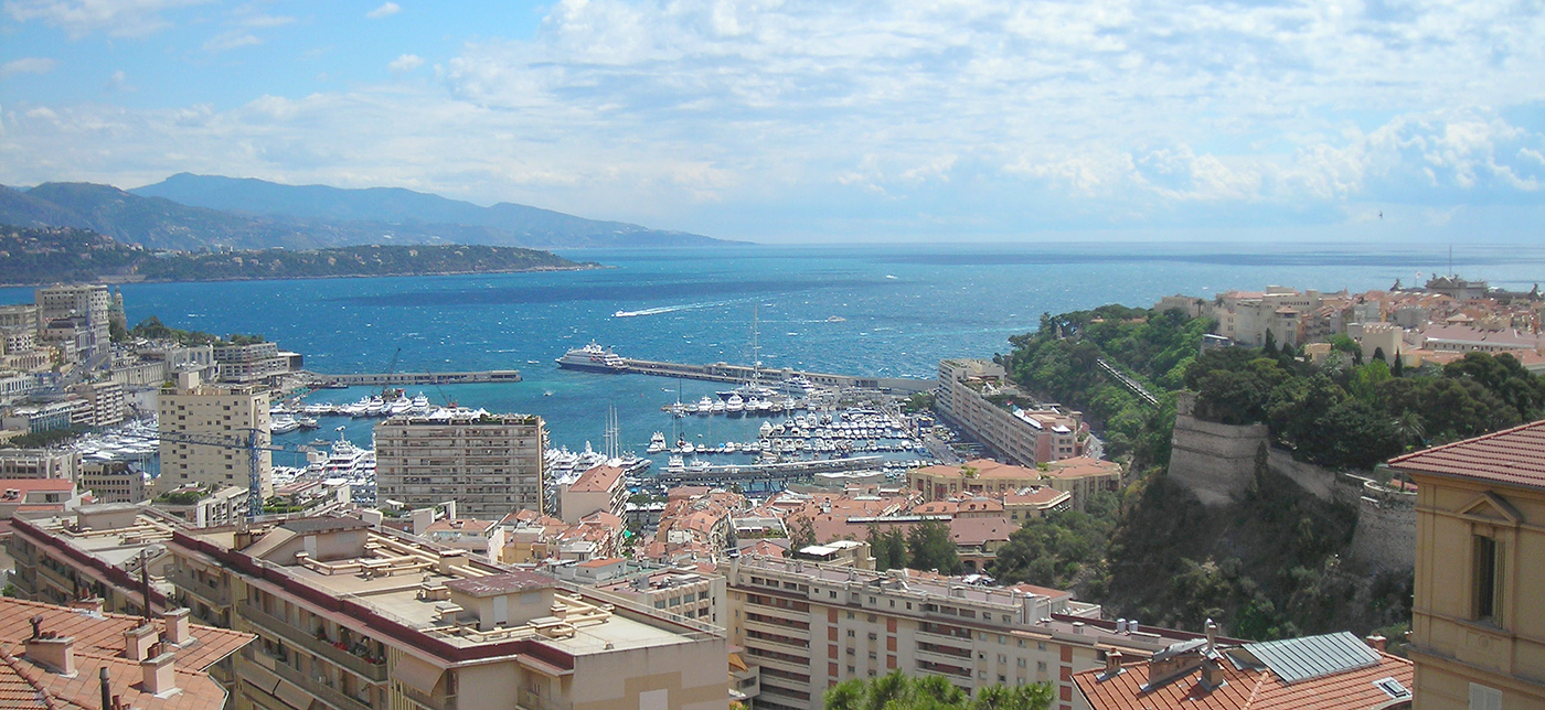
In early May, NOAA’s Office of Coast Survey Deputy Hydrographer John Nyberg, Ph.D., was elected as a director of the International Hydrographic Organization (IHO) during its Third Assembly. The six-year term begins in September and promises to be a critical time for the evolution of digital navigation infrastructure and capacity worldwide, with the implementation of the S-100 hydrographic model. John was nominated by the secretaries of commerce, defense, and state. His role will be to serve as part of the directing committee which is composed of a Secretary General and two directors to manage the day-to-day operations of the organization in order to advance the goals of the Member States.
Continue reading “NOAA represented at the International Hydrographic Organization Assembly in Monaco”NOAA Custom Chart version 2.0 now available to the public
On February 14, 2023, NOAA’s Office of Coast Survey released NOAA Custom Chart version 2.0, a dynamic map application, which enables users to create their own paper and PDF nautical charts derived from the official NOAA electronic navigational chart (NOAA ENC®), NOAA’s premier nautical chart product.
Continue reading “NOAA Custom Chart version 2.0 now available to the public“3D Nation Study report, website, and StoryMap now available
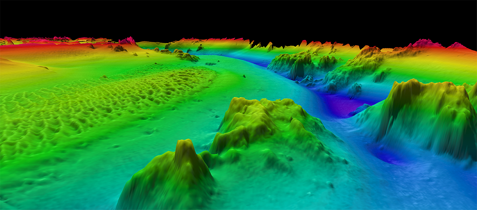
The 3D Nation Elevation Requirements and Benefits Study focuses on 3D elevation data on land and under water.
A new StoryMap on the 3D Nation Elevation Requirements and Benefits Study, which was published in September 2022, is now available. Sponsored by the National Oceanic and Atmospheric Administration (NOAA) and the U.S. Geological Survey (USGS), and conducted by Dewberry, the 3D Nation Study documents nationwide requirements and benefits of 3D elevation data both on land and under water. The study also estimates the costs associated with meeting these requirements and evaluates multiple scenarios for enhancing national elevation mapping programs.
Continue reading “3D Nation Study report, website, and StoryMap now available”Geospatial information in the Southwestern Pacific
By Dr. John Nyberg
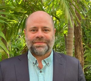
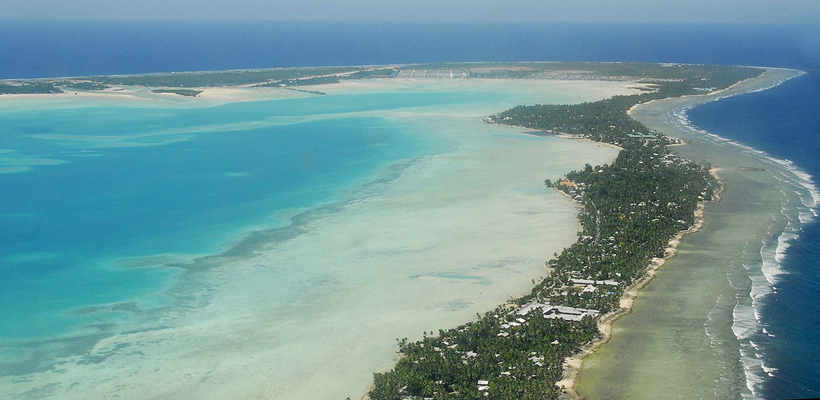
NOAA’s Office of Coast Survey Deputy Hydrographer Dr. John Nyberg participated in a State Department Science Fellowship through the U.S. Embassy in Suva, Fiji this past summer. The fellowship’s main goal for the region is to assist in accelerating the use of coastal and marine spatial planning for marine conservation and to deliver a curriculum to support it. Dr. Nyberg was asked to pay particular attention to engaging Kiribati (pronounced Kiribas), home to the Phoenix Islands Protected Area, one of the world’s largest and most important protected areas. The government of Kiribati is in the process of re-evaluating their approach toward managing the area, and one of the primary goals is to encourage the use of marine spatial planning in that process.

