
By Dr. John Nyberg
NOAA’s Office of Coast Survey Deputy Hydrographer Dr. John Nyberg participated in a State Department Science Fellowship through the U.S. Embassy in Suva, Fiji this past summer. The fellowship’s main goal for the region is to assist in accelerating the use of coastal and marine spatial planning for marine conservation and to deliver a curriculum to support it. Dr. Nyberg was asked to pay particular attention to engaging Kiribati (pronounced Kiribas), home to the Phoenix Islands Protected Area, one of the world’s largest and most important protected areas. The government of Kiribati is in the process of re-evaluating their approach toward managing the area, and one of the primary goals is to encourage the use of marine spatial planning in that process.
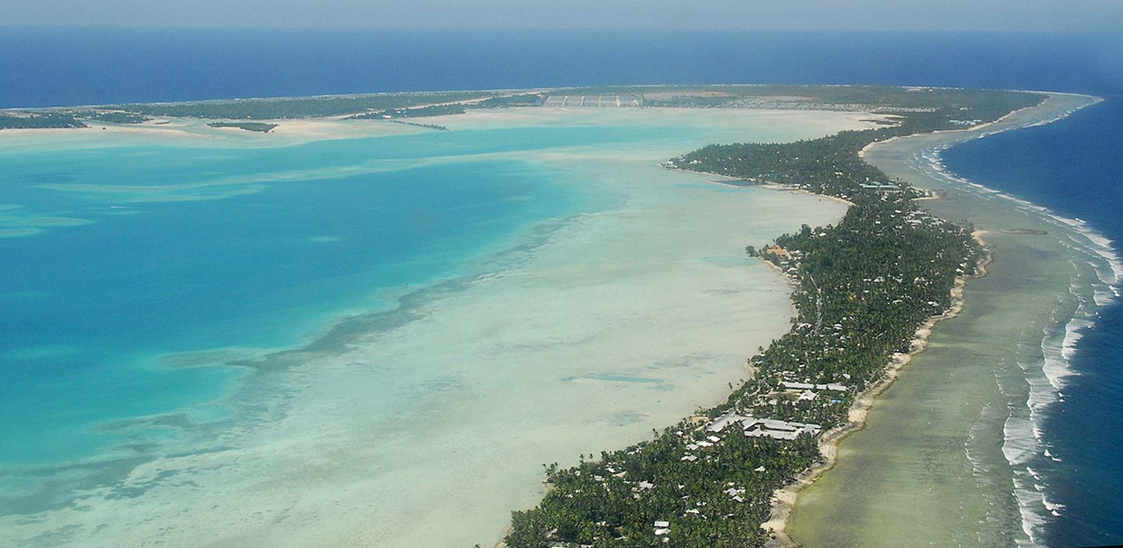
Kiribati is one of the smallest countries in the world with a land area of 313.1 square miles. For reference, the land area of New York City is 302.6 square miles. However, the sea area that Kiribati manages is 1.4 million square miles or about half the size of the continental United States and includes some of the most pristine coral reef complexes in the world – currently under threat from pollution, fishing and the impacts of climate change. Kiribati’s relationship with the ocean, its plan to expand the use of geospatial technology, and their current focus on inter-island transportation and marine spatial planning, made it an ideal country to conduct a workshop on integrating national geospatial infrastructure with extra attention focused on the marine domain.
I spent June 2022 in Suva, Fiji hosted by the Secretariat of the Pacific Community’s Pacific Geospatial and Surveying Council, an international organization that helps to enable sustainable development in the Pacific through geospatial information and surveying services. Topics that the Secretariat is focused on in the region include marine spatial planning, geodesy, maritime boundaries, fishery management and marine modeling. Recently, this focus has also included the United Nations Integrated Geospatial Information Framework (IGIF), a tool to examine and strengthen national geospatial information management to support sustainable development. During my time there, while establishing relationships with many members of the Pacific Community and environmental organizations, I participated in a regional workshop to share information on the current status of various geospatial programs around the Pacific. As co-chair of the United Nations Global Geospatial Information Management’s Working Group on Marine Geospatial Information, I assisted in leading a session on managing marine data and the working group’s implementation of the operational framework on Integrated Marine Geospatial Information Management or IGIF-H (hydro).
Additionally, I was invited to participate in Fiji’s national geospatial planning meeting to implement the IGIF in a national context. The participants represented a wide array of geospatial data managers including marine, land, finance, police and forestry. This was a fantastic opportunity to learn how geospatial programs in the region are working to coordinate a fully integrated approach toward managing geospatial information. One of the important outcomes from this meeting saw the Fiji team taking significant steps toward completing their national plan.
Coincidentally, in early 2022, I volunteered to participate in a mentoring program through the South West Pacific Hydrographic Commission, where I had the outstanding luck to be paired up with Tion Uriam. Tion (pronounced Son), a graduate of the Nippon Foundation/GEBCO Training Program in Ocean Mapping at the University of New Hampshire, now serves as the Hydrographer of Kiribati and is working to implement a charting and survey program to support safe inter-island transportation and sustainable port infrastructure. We hold weekly virtual meetings that often include participants from the U.S. State Department, the Pacific Geospatial and Surveying Council, and other ministries from around Kiribati.
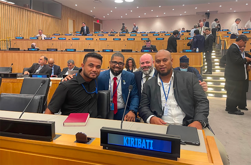
With many thanks to Capt. Dan Simon (NOAA) and Major Dave Paxton (U.S. Army), the United States Indo-Pacific Command provided support for Tion and Robert Karoro to attend the annual United Nations Global Geospatial Information Management Committee meeting in New York City. Robert’s leadership on marine spatial planning in Kiribati along with Tion’s hydrographic expertise proved to be the perfect delegation to represent Kiribati’s marine interests in New York. Tion and Robert presented an intervention on the floor of the United Nations to support the importance of marine geospatial information and, along with myself, spent an evening with Kiribati’s ambassador to the United Nations where they discussed the value and future of marine spatial planning in Kiribati.
Following the meeting in New York, Tion and I attended the United Nations Geospatial Congress in Hyderabad, India, with about 2,000 participants from around the world. During the Congress, I conducted a session on marine geospatial information which included presentations from Tion and others from the Pacific Community. The session presented the importance of integrated data management, data availability (The Nippon Foundation-GEBCO Seabed 2030 Project), and the role of standards in marine geospatial management. I also participated on a high-level panel to discuss how the IGIF was being implemented regionally.
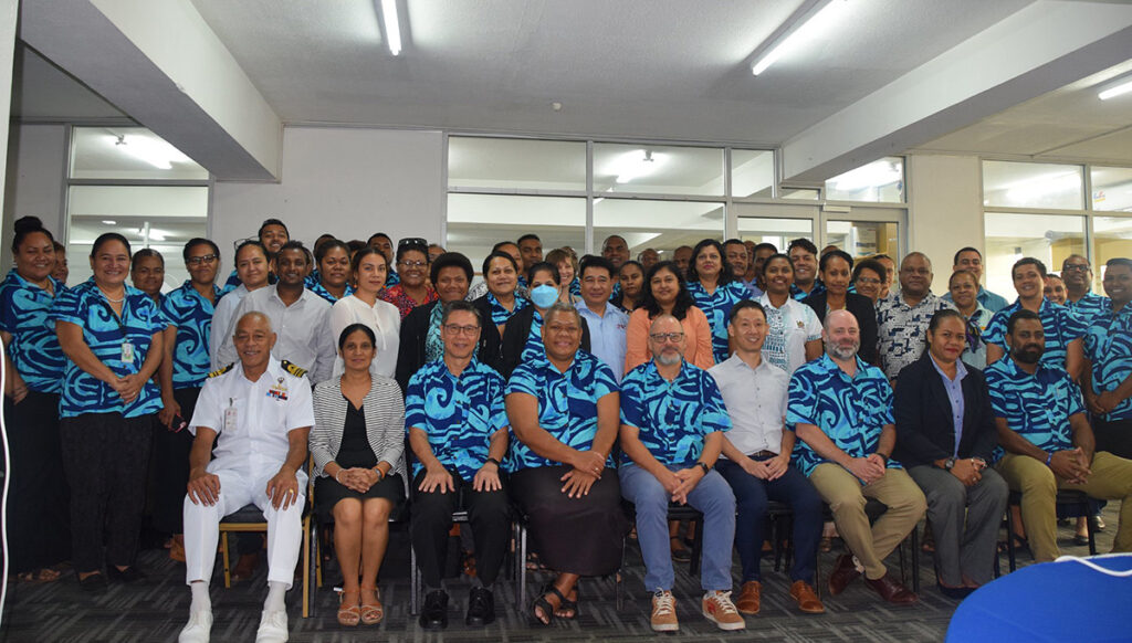
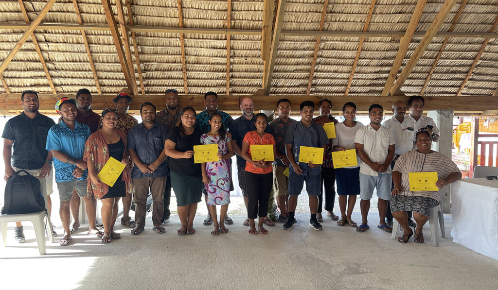
During the week of November 7, NOAA’s Coast Survey Development Lab sponsored a trip to Kiribati where Dr. Saeed Moghimi and I assisted with running a workshop, led by Tion, on establishing a national approach toward implementing the IGIF. The workshop included stakeholders from around Kiribati, including weather, census, finance, fisheries, and marine transportation. The workshop resulted in the establishment of a new national committee for the implementation and management of the IGIF, a high-level vision, mission and goals document, and a schedule for developing Kiribati’s national IGIF plan. The new committee is called the Geo-Mauri Coordination Committee. The committee will focus on national geospatial strategic planning and will work closely with the existing Kiribati GIS user group. “Mauri” in Kiribati is the national greeting, meaning hello, and is often an enthusiastic and important part of establishing daily interactions.
Over the next few months, I will continue to work collaboratively with the Kiribati team to continue the development of their national geospatial plan, and I hope to help with a future workshop on marine spatial planning.