Possible Ancient River System Discovered off Wilmington, North Carolina

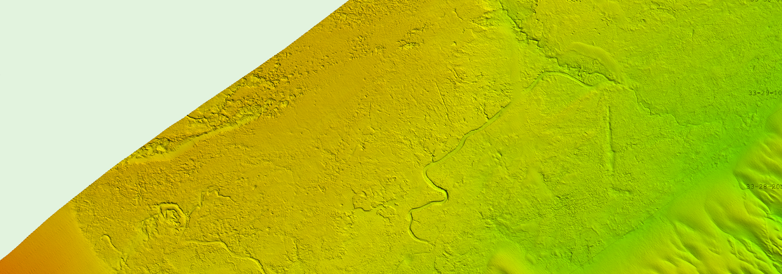
A graphic showing newly discovered underwater paleochannels off of Wilmington, North Carolina shown at 4-meter resolution.
By Alexandra Dawson and Lt. Patrick Debroisse

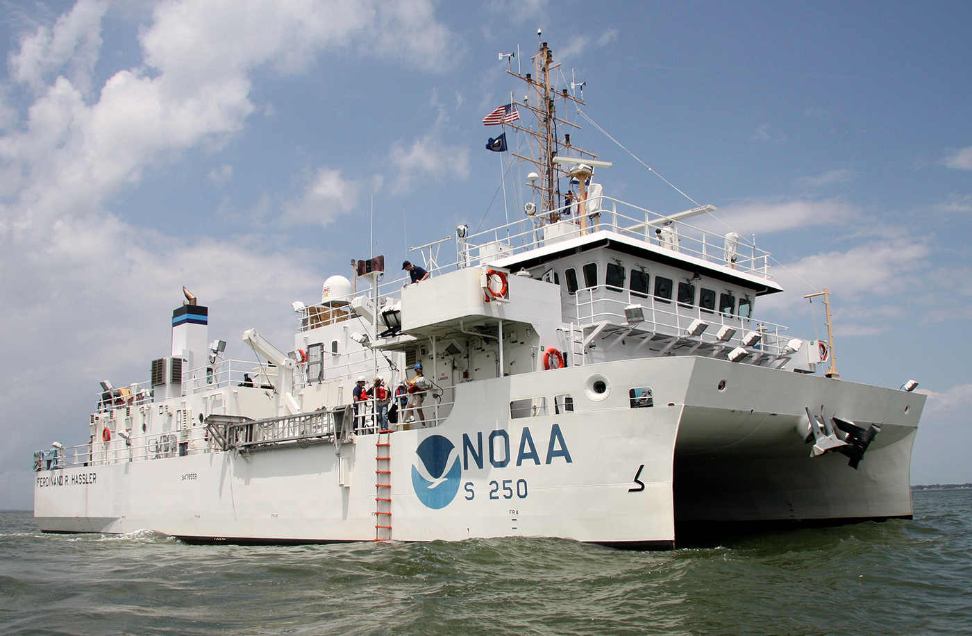
During the 2023 field season, NOAA Ship Ferdinand R. Hassler was tasked with surveying an area offshore of Wilmington, North Carolina, in the vicinity of Frying Pan Shoals—a dynamic area of dangerously shallow waters. While scientists and crew conducted mapping surveys of the seafloor, they discovered what is believed to be well-preserved ancient remnants of a paleochannel system that could give us a glimpse as to what our North Carolina coastline looked like approximately 20,000 years ago. The location of these newly discovered paleochannels indicates that they may have once been part of North Carolina’s historic Cape Fear River and likely were above sea level during the Last Glacial Maximum.

Continue reading “Possible Ancient River System Discovered off Wilmington, North Carolina”

NOAA contributes to Empowering Women in Hydrography through at-sea experience, part 5

A series of images showing Victoria Obura acquiring data on a survey launch, standing on the bridge of NOAA Ship Thomas Jefferson, and preparing to board the survey launch.

The Empowering Women in Hydrography project is a global effort led by the International Hydrographic Organization and Canada that seeks to initiate, organize and track a series of activities and initiatives which will enable more women to participate equitably in the field of hydrography and to assume leadership roles within the hydrographic community. NOAA is contributing to the project via an ‘at-sea experience’ on NOAA hydrographic ships for three women each year over the lifespan of the project. After a global call for nominations, three women were selected to join NOAA ships for the 2023 survey season. Victoria Obura, a Hydrographer from Survey of Kenya Hydrographic Office, joined NOAA Ship Thomas Jefferson from 12 June to 23 June 2023, while surveying offshore Galveston, Texas.

Continue reading “NOAA contributes to Empowering Women in Hydrography through at-sea experience, part 5”

NOAA releases 2023 hydrographic survey season plans

An image showing all NOAA hydrographic survey vessels.

NOAA hydrographic survey ships, navigation response teams, and contractors are preparing for the 2023 hydrographic survey season. The ships and survey vessels collect bathymetric data (i.e. map the seafloor) to support nautical charting, modeling, and research, but also collect other environmental data to support a variety of ecosystem sciences. NOAA considers hydrographic survey requests from stakeholders such as marine pilots, local port authorities, the Coast Guard, and the boating community, and also considers other hydrographic and NOAA science priorities in determining where to survey and when. Visit our “living” ArcGIS StoryMap to find out more about our mapping projects and if a hydrographic vessel will be in your area this year!

Continue reading “NOAA releases 2023 hydrographic survey season plans”

Geospatial information in the Southwestern Pacific

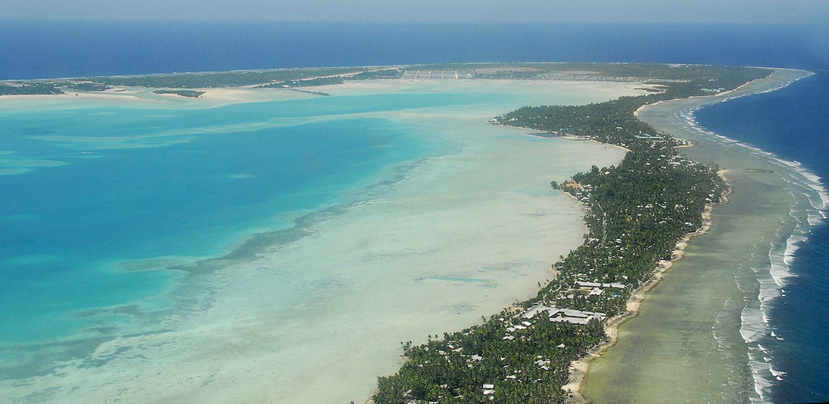
An image of the Island of Tarawa, part of the Republic of Kiribati in the Central Pacific.

By Dr. John Nyberg

An image of Dr. John Nyberg
Dr. John Nyberg

NOAA’s Office of Coast Survey Deputy Hydrographer Dr. John Nyberg participated in a State Department Science Fellowship through the U.S. Embassy in Suva, Fiji this past summer. The fellowship’s main goal for the region is to assist in accelerating the use of coastal and marine spatial planning for marine conservation and to deliver a curriculum to support it. Dr. Nyberg was asked to pay particular attention to engaging Kiribati (pronounced Kiribas), home to the Phoenix Islands Protected Area, one of the world’s largest and most important protected areas. The government of Kiribati is in the process of re-evaluating their approach toward managing the area, and one of the primary goals is to encourage the use of marine spatial planning in that process.

Continue reading “Geospatial information in the Southwestern Pacific”