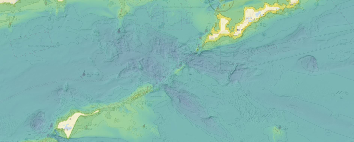
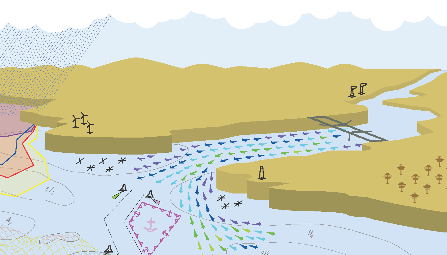
NOAA’s Office of Coast Survey produces and maintains several types of data models and products, from operational forecast systems to nautical charts. One of these models comes from the office’s National Bathymetric Source, or NBS, program which creates and maintains high-resolution bathymetry composed of the best available data. Bathymetry is a term that refers to the depths and shapes of underwater terrain and is a visualization of the “beds” or “floors” of water bodies, including the ocean, rivers, streams, and lakes. This data model is available to the public in a product called BlueTopo.
Geospatial information in the Southwestern Pacific
By Dr. John Nyberg

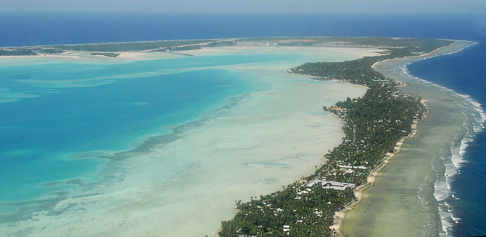
NOAA’s Office of Coast Survey Deputy Hydrographer Dr. John Nyberg participated in a State Department Science Fellowship through the U.S. Embassy in Suva, Fiji this past summer. The fellowship’s main goal for the region is to assist in accelerating the use of coastal and marine spatial planning for marine conservation and to deliver a curriculum to support it. Dr. Nyberg was asked to pay particular attention to engaging Kiribati (pronounced Kiribas), home to the Phoenix Islands Protected Area, one of the world’s largest and most important protected areas. The government of Kiribati is in the process of re-evaluating their approach toward managing the area, and one of the primary goals is to encourage the use of marine spatial planning in that process.
Model Upgrade: Global Extratropical Surge and Tide Operational Forecast System Upgraded to Version Two
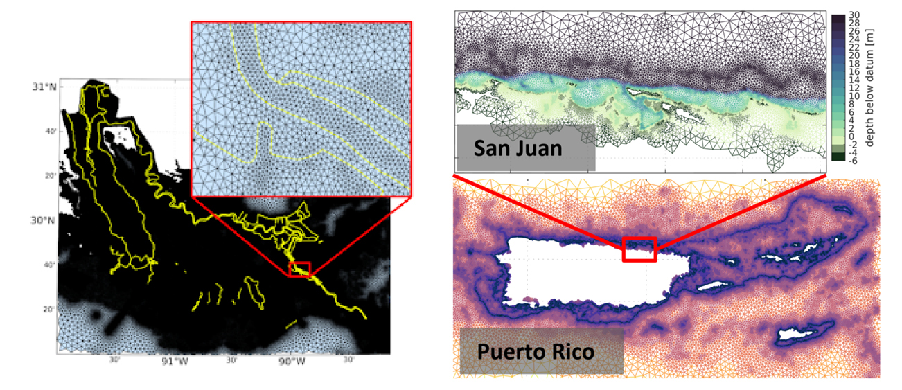
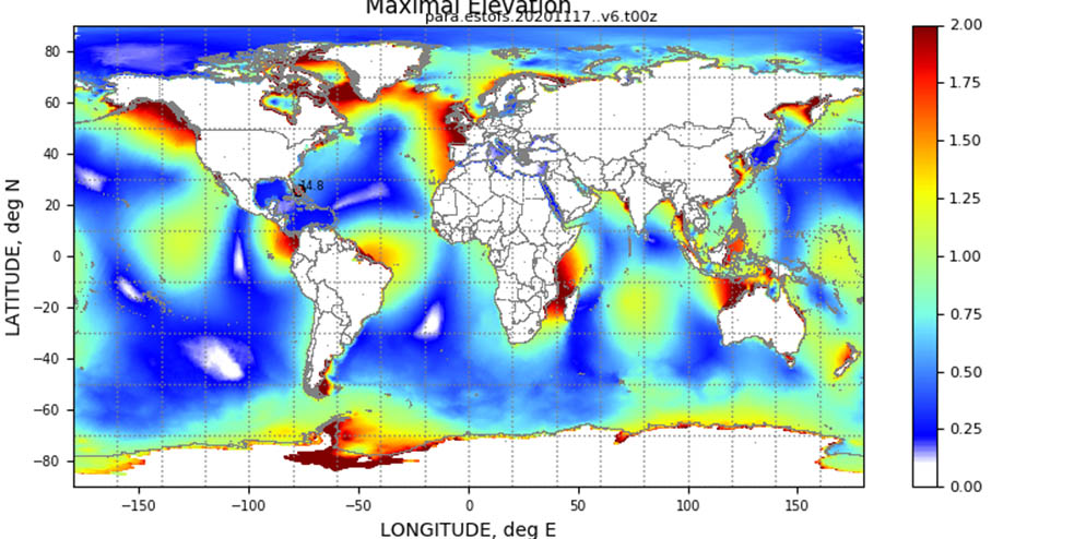
In late July 2021, the Global Extratropical Surge and Tide Operational Forecast System (Global ESTOFS) upgrade to version two was implemented into operations on the National Weather Service’s (NWS) Weather and Climate Operational Supercomputing System (WCOSS). The modeling system provides forecast guidance for combined water levels caused by storm surge and tides globally, and is to our knowledge the highest resolution global operational storm surge modeling system available today. The forecast guidance from the model is used by forecasters at NWS Weather Forecast Offices (WFO) and the Ocean Prediction Center to generate their storm surge and flood forecasts during storms, including Nor’easters along the U.S. East Coast.
Continue reading “Model Upgrade: Global Extratropical Surge and Tide Operational Forecast System Upgraded to Version Two”NOAA releases new visualization resources: Precision Navigation Data Gateway and Data Dashboard
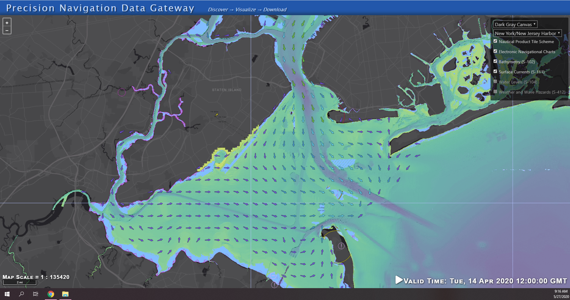
NOAA’s Precision Marine Navigation (PMN) program released two new visualization resources. The first is a beta version Precision Marine Navigation Data Gateway map viewer allowing users to explore NOAA’s S-100 data services. Currently, the Data Gateway presents prototype surface current forecast guidance, but new layers will be added as they are developed. NOAA welcomes feedback on the beta version of the Data Gateway. Please submit all comments to marinenav.team@noaa.gov by March 1, 2021.
Continue reading “NOAA releases new visualization resources: Precision Navigation Data Gateway and Data Dashboard”Model Upgrade: Extratropical Surge & Tide Operational Forecast System (ESTOFS) is Now Global
On November 24, an upgrade to Global ESTOFS was implemented to provide NWS forecasters with high resolution water level forecast guidance including storm tide (storm surge plus tides) for the entire globe. Global ESTOFS forecast guidance will be used by forecasters at WFOs and the Ocean Prediction Center (OPC) to generate their storm surge forecasts during winter storms including Nor’easters along the U.S. East Coast.
Continue reading “Model Upgrade: Extratropical Surge & Tide Operational Forecast System (ESTOFS) is Now Global”Autonomous vessel operations in the Arctic: Lessons learned from the Summer 2020 Mapping Mission
On May 28, 2020, four uncrewed vessels departed Alameda, California, to begin their transit across the Pacific Ocean, through Unimak Pass, across the Bering Sea, and into the Arctic. These small, uncrewed vessels, powered only by wind and sun, arrived at Point Hope, Alaska, in early August to start an ambitious project acquiring new depth data along the 20 and 50 meter depth contours from Point Hope to the Canadian border. This was the start of a challenging Arctic project that would contend with weather, sea ice, and equipment failures, all while avoiding potential conflicts with indigenous subsistence hunting.
Continue reading “Autonomous vessel operations in the Arctic: Lessons learned from the Summer 2020 Mapping Mission”NOAA Coast Survey’s new strategy supports charting mandates and broader seafloor mapping
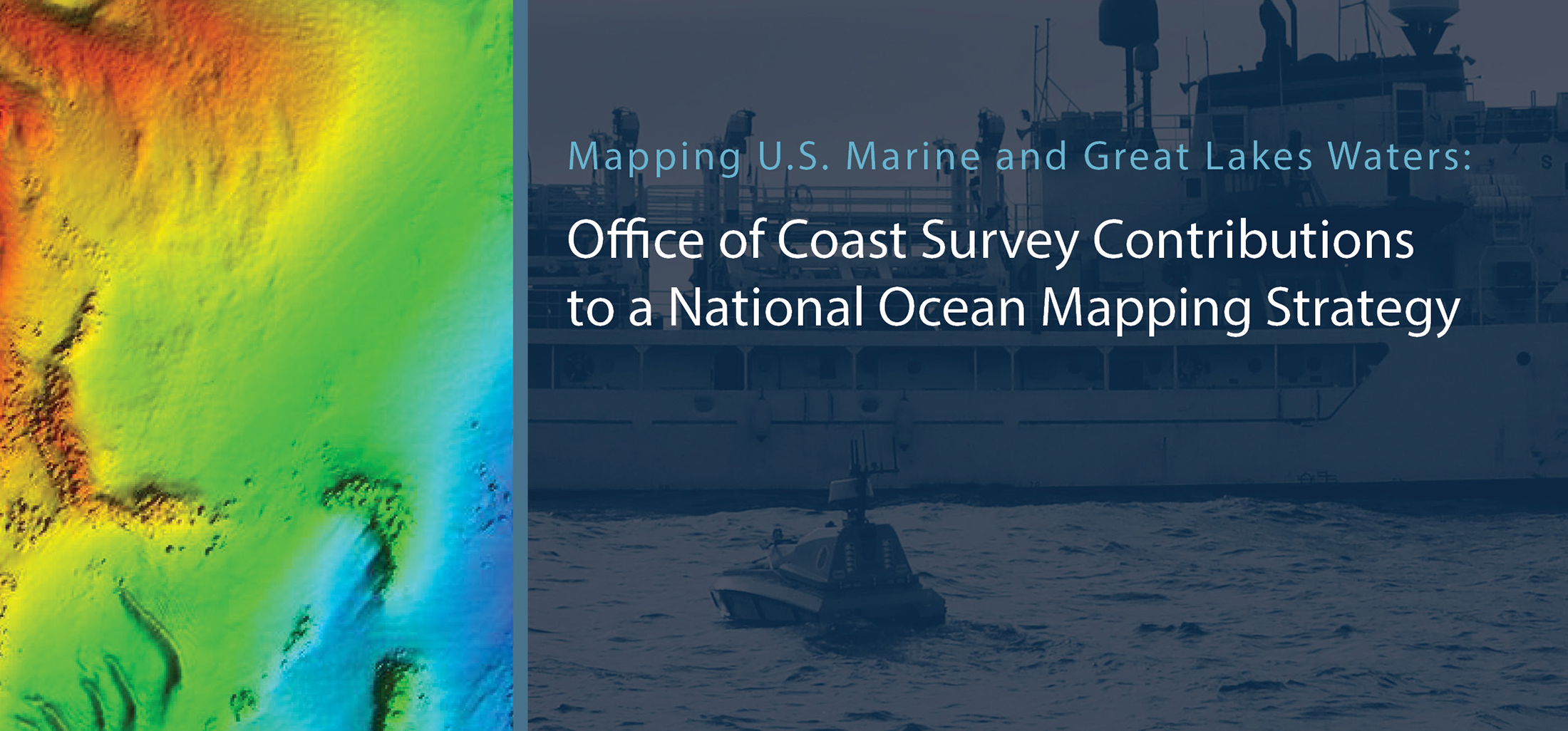
This week, NOAA’s Office of Coast Survey released the Mapping U.S. Marine and Great Lakes Waters: Office of Coast Survey Contributions to a National Ocean Mapping Strategy. This report is part of NOAA’s ongoing commitment to meet core surveying and nautical charting mandates while supporting broader needs to fill gaps in seafloor mapping and environmental sciences.
Continue reading “NOAA Coast Survey’s new strategy supports charting mandates and broader seafloor mapping”Precision marine navigation surface current dissemination trials
By: Erin Nagel, University Corporation for Atmospheric Research (UCAR) Visiting Scientist
NOAA is preparing to release a prototype of the new Precision Navigation Data Dissemination System in July, and the S-111 surface current forecast guidance will be the first prototype service available in this new system.
Continue reading “Precision marine navigation surface current dissemination trials”NOAA seeks industry feedback as it begins testing the Precision Navigation Data Dissemination prototype
By Julia Powell, Precision Navigation Program Manager, Chief of the Navigation Services Division
NOAA’s Precision Navigation program is building a prototype data gateway for users to discover, visualize, and disseminate NOAA marine navigation products and services. The backbone of this dissemination system is to provide for machine-to-machine dissemination that allows the mariners’ existing navigation software to automatically discover if NOAA has made new data available and ingest it directly into the system. NOAA’s integrated marine navigation services through this site will help ship operators optimize their routes, save fuel, reduce lightering and reduce port wait times based on environmental conditions.
Continue reading “NOAA seeks industry feedback as it begins testing the Precision Navigation Data Dissemination prototype”NOAA improves coastal resilience tools for U.S. Pacific Islands vulnerable to natural disasters
By Jack Riley and Sergey Vinogradov, Ph.D.
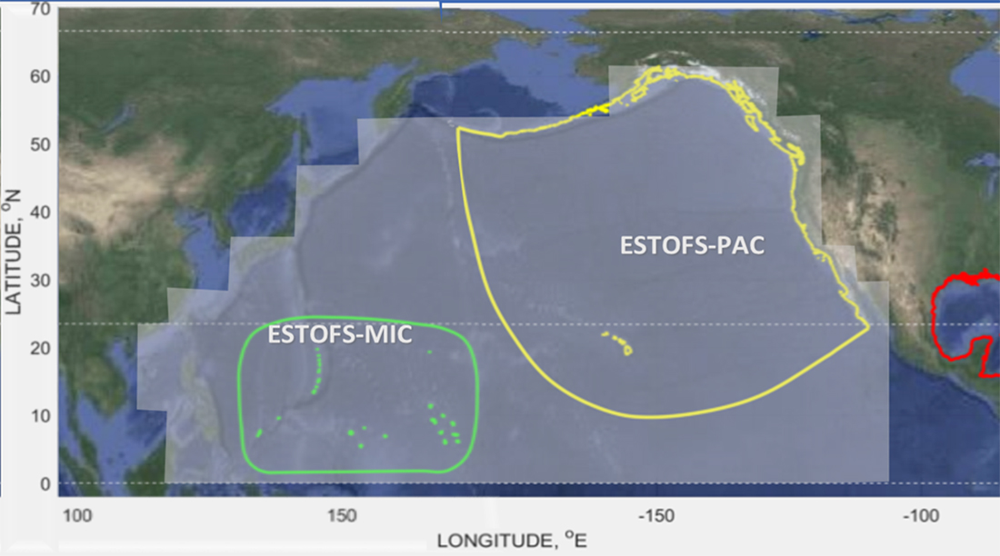
The Pacific Ocean is the largest and deepest of Earth’s oceanic divisions. It extends from the Arctic Ocean in the north to the Southern Ocean in the south and is bound by the continents of Asia and Australia in the west and the Americas in the east. Most of the U.S. Pacific territories are located in the northern half of the Pacific Ocean and are among the Pacific Islands that are highly exposed to natural disasters. As part of NOAA’s coastal resilience efforts, the National Ocean Service (NOS) is developing better tools to define changes in water level related to tropical cyclones and other weather related conditions. This work is part of the global effort to develop disaster risk assessment tools and practical technical applications to reduce and mitigate coastal countries’ vulnerability to natural disasters.
Continue reading “NOAA improves coastal resilience tools for U.S. Pacific Islands vulnerable to natural disasters”
