
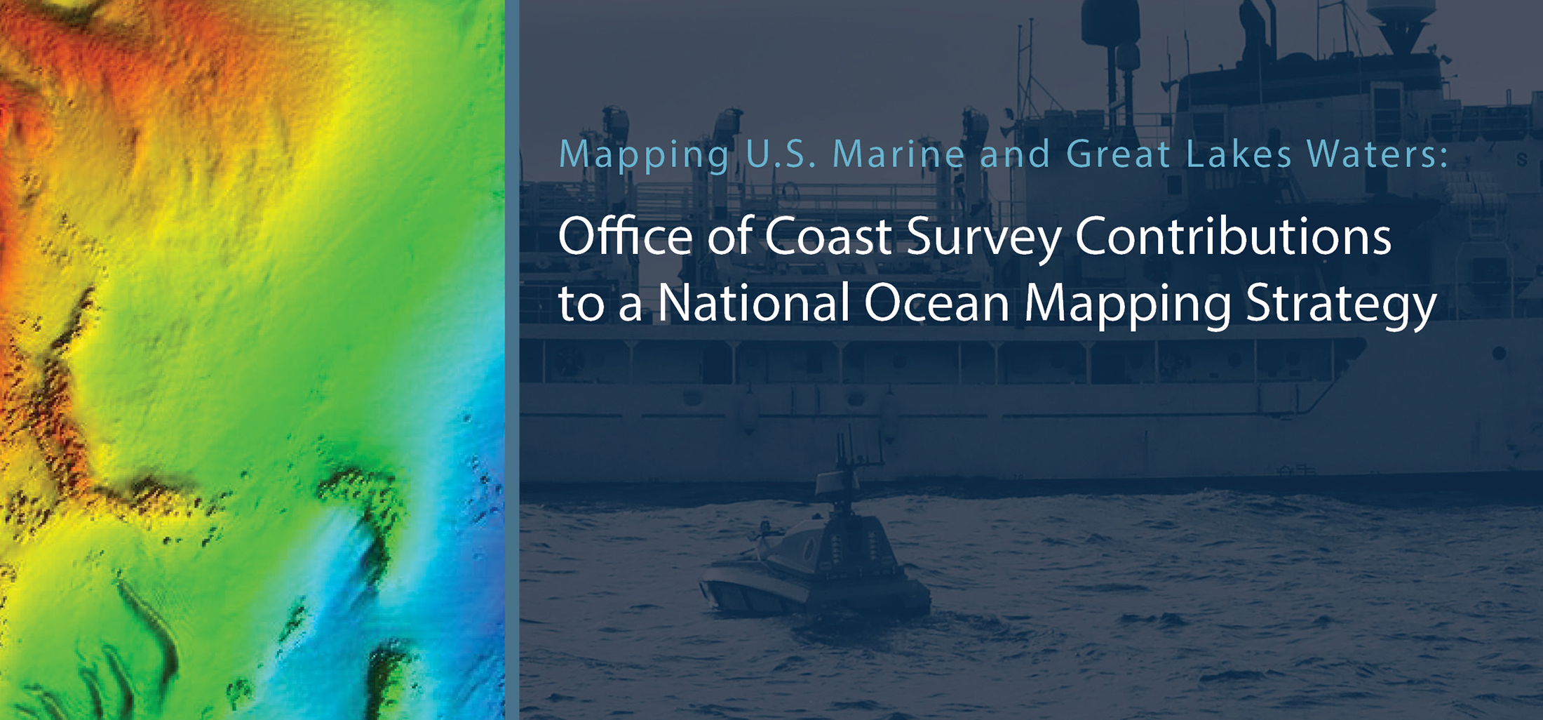
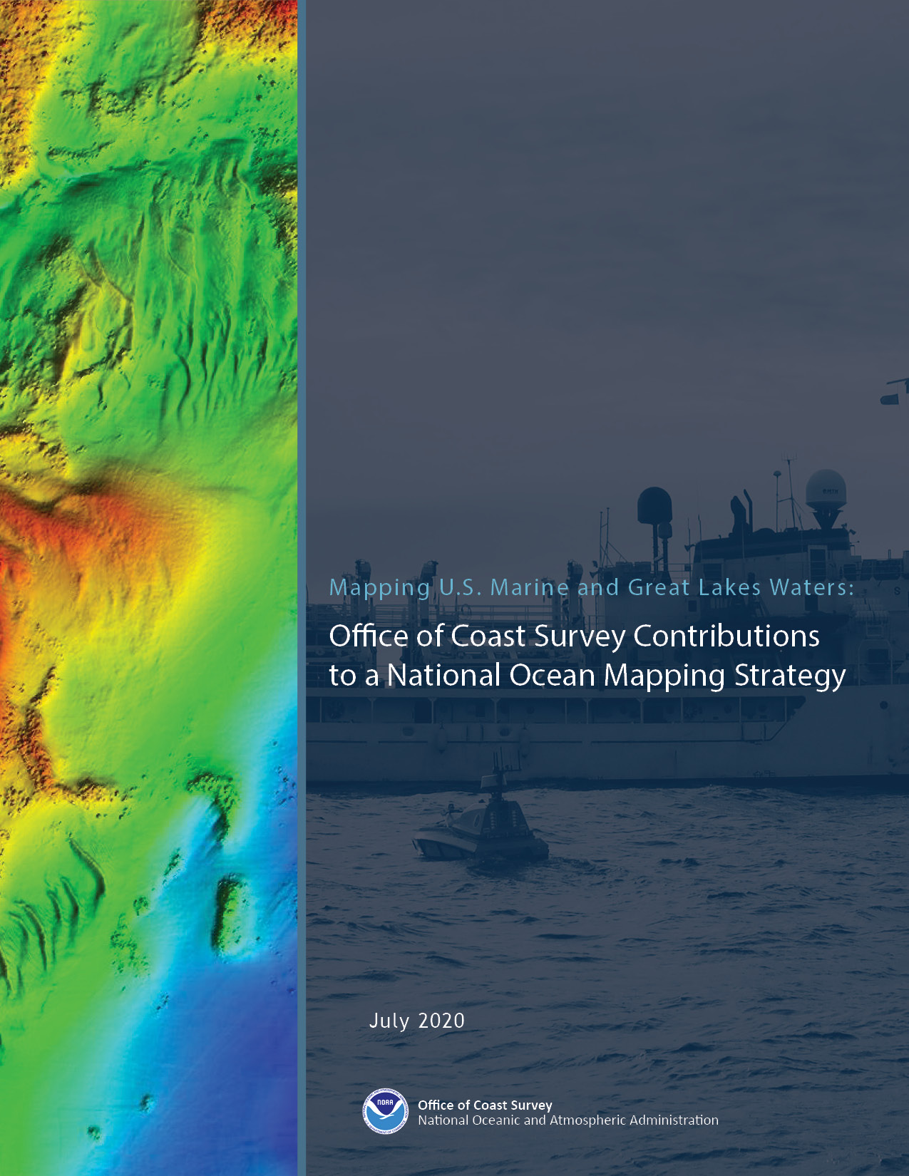
This week, NOAA’s Office of Coast Survey released the Mapping U.S. Marine and Great Lakes Waters: Office of Coast Survey Contributions to a National Ocean Mapping Strategy. This report is part of NOAA’s ongoing commitment to meet core surveying and nautical charting mandates while supporting broader needs to fill gaps in seafloor mapping and environmental sciences.
“This is an exciting and pivotal time for the nation’s primary marine mapping program,” said Rear Adm. Shep Smith, director of NOAA’s Office of Coast Survey. “This strategy will guide the application of Coast Survey’s expertise and capabilities to survey our coasts and oceans with smart management, strategic partnerships, and investment in force-multiplying technology.”
Coast Survey’s plan highlights its contributions to fulfilling the Presidential Memorandum on Ocean Mapping of the United States Exclusive Economic Zone and the Shoreline and Nearshore of Alaska and the recently-released National Strategy for Mapping, Exploring, and Characterizing the United States Exclusive Economic Zone (NOMEC). The plan builds on the momentum in support of ocean mapping efforts driven by new and emerging technologies, such as unmanned systems, artificial intelligence, and cloud computing.
Coast Survey presents two overarching goals in this plan:
Goal I – Optimize the safety and utility of the nation’s marine highway infrastructure
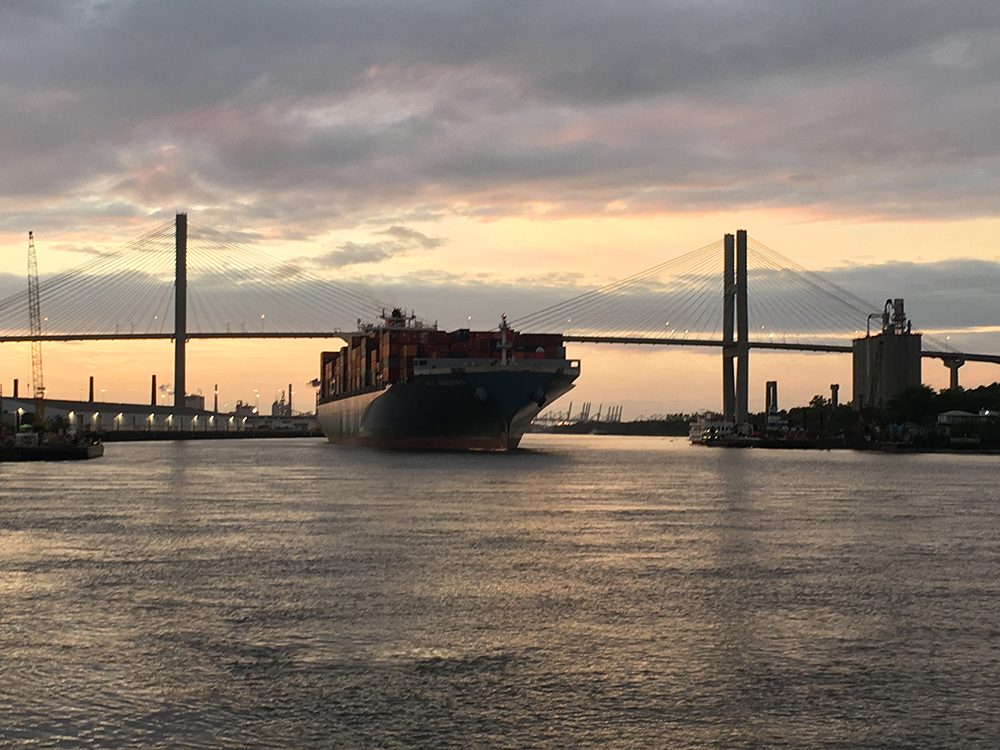
For Coast Survey, supporting our marine highway infrastructure means conducting continual survey maintenance to ensure these waterways remain obstruction-free. Coast Survey must also provide more precise depths with the delivery of corresponding environmental information so that mariners can make the most informed decisions while moving in and out of ports. Coast Survey’s mapping plan to optimize the safety and use of our marine highways includes the following objectives:
- Enable Precision Marine Navigation in top U.S. ports and waterways to decrease risk to life and property and to optimize cargo loading.
- Use a model-based approach to determine annual survey priorities for navigation safety.
- Resolve unverified charted features to improve confidence in the nautical chart.
- Build out the National Bathymetric Source Database.
Goal 2 – Map the full extent of the U.S. waters to modern standards
The depth, shape, and composition of the seafloor are foundational data elements that we need to understand in order to explore, sustainably develop, conserve, and manage our coastal and offshore ocean resources. Fifty-four percent of U.S. waters are unmapped, covering an area of about two million square nautical miles. With cross-NOAA, federal, academic, and private sector partners, Coast Survey actively explores all avenues to gain efficiencies in seafloor mapping. With these partnerships, assets and capabilities in hand, Coast Survey will execute three primary strategies to address the mapping of U.S. waters to modern standards:
- Lead the coordination of integrated mapping of U.S. waters to optimize NOAA and partner priorities and resources for ocean and coastal mapping efficiencies.
- Maximize the use of Coast Survey mapping expertise to acquire best available data in poorly surveyed and gap areas.
- Leverage leading-edge survey technology to force-multiply data acquisitions.
This plan articulates Coast Survey’s commitment and intent to invest 80 percent of resources into Goal I for navigation safety, and 20 percent into Goal II in support of NOMEC. This strategy is also scalable from what Coast Survey is capable of doing now within current resources, to accomplishing more with new investment, more days at sea, and more autonomous survey tools. It offers a clear path forward on how Coast Survey will leverage its expertise, assets, technology, and coalitions inside and outside of NOAA to map the full extent of U.S. waters.