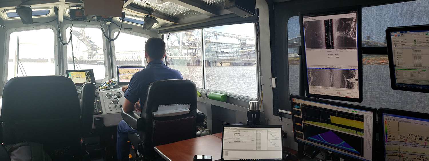
The Port of New Orleans, is one of the largest ports in the United States. It spans both sides of the Mississippi River in the state of Louisiana, with its lower limit situated approximately 80 miles above the confluence of three major passes used to access the river from the Gulf of Mexico. The city of New Orleans serves as the primary commercial hub within the port’s limits. As one of the largest cities along the Gulf Coast, it is a natural gateway for trade, connecting the vast central and southern regions of the nation, particularly the entire Mississippi River Valley, via numerous inland water routes.
Continue reading “NOAA updates bridge clearances crossing one of the most important waterways in the United States”New NOAA website provides marine navigation resources in a central location
A recently launched website from NOAA’s Precision Marine Navigation (PMN) program will improve the use and accessibility of NOAA’s marine navigation products and services. The website, Marine Navigation, includes links and short descriptions to NOAA’s various navigation resources, providing a one-stop shop that mariners can visit to get the data they need. Designed for shipping professionals and recreational boaters alike, the PMN program hopes the website will become a valuable tool to support all mariners in their navigation planning and decision making processes.
Continue reading “New NOAA website provides marine navigation resources in a central location”By the Numbers: Coast Survey’s 2020 Atlantic Hurricane Season
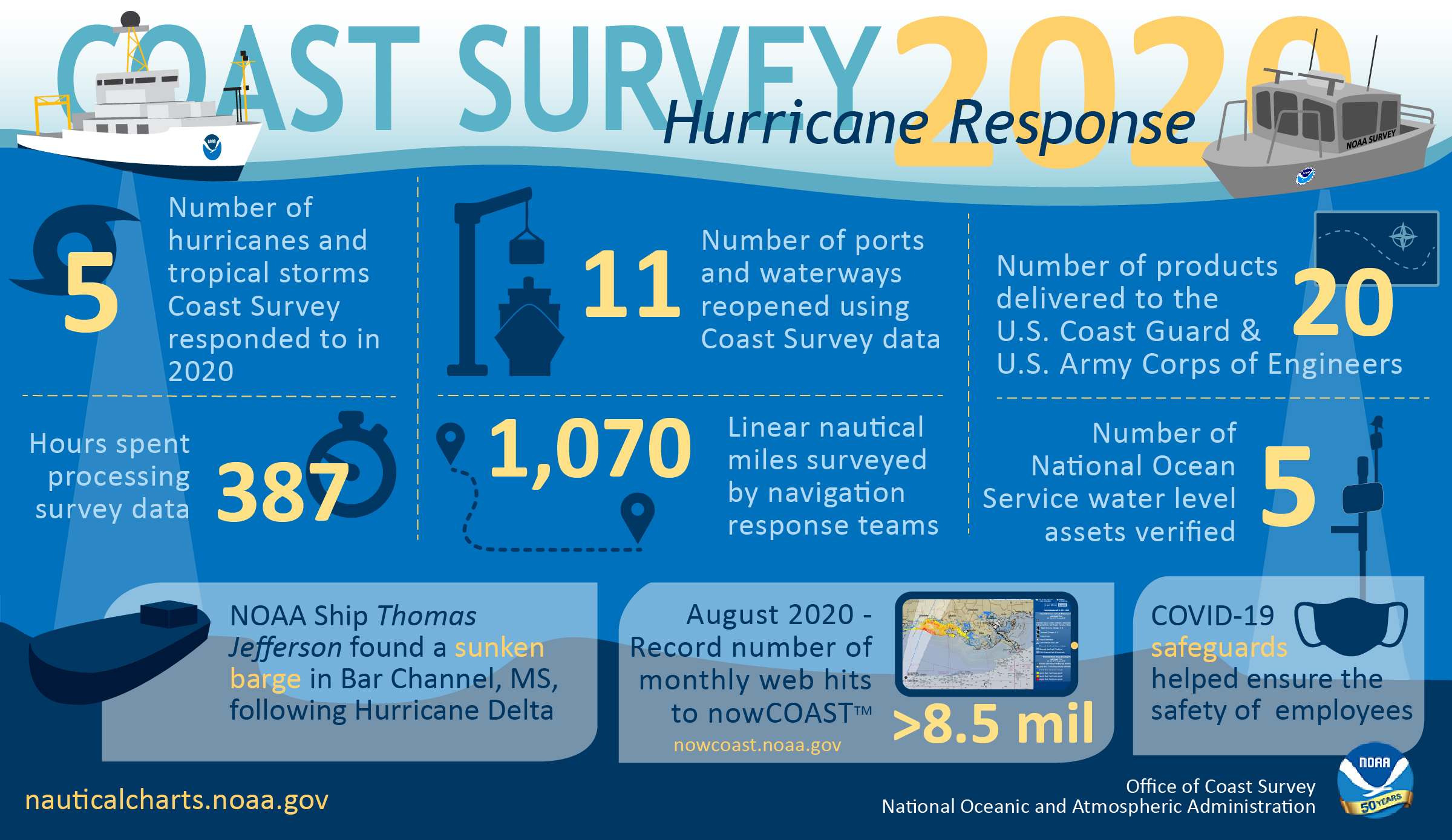
As the 2020 Atlantic hurricane season came to a close on November 30, NOAA’s Office of Coast Survey tallied a few numbers to see what the combined response effort of the navigation response teams, NOAA Ship Thomas Jefferson, and hydrographic survey contractor David Evans & Associates, Inc., looked like.
Continue reading “By the Numbers: Coast Survey’s 2020 Atlantic Hurricane Season”NOAA Ship Thomas Jefferson returns to survey approaches to Chesapeake Bay during the 2020 field season
By Hydrographic Assistant Survey Technician Sophia Tigges
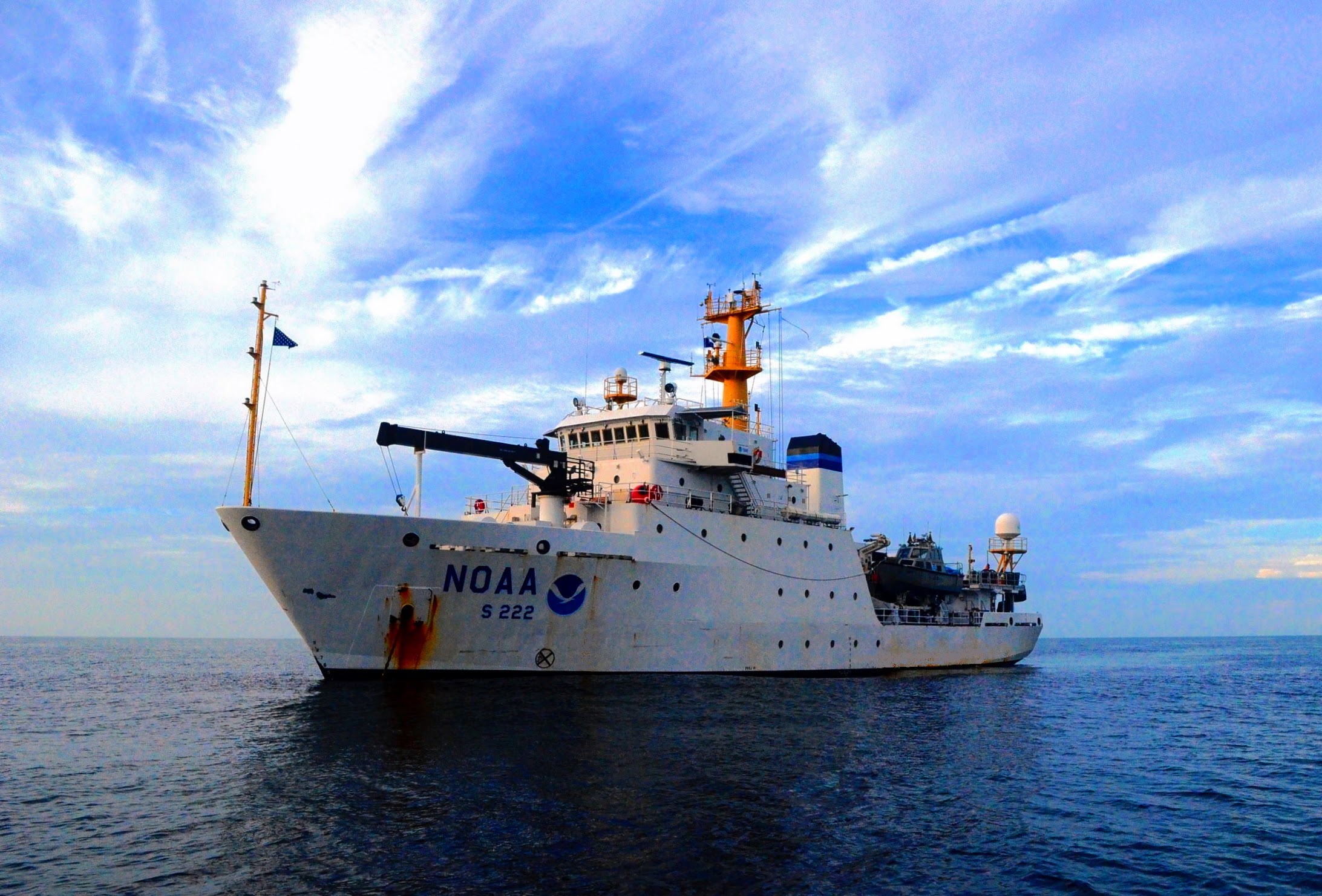
For the first portion of the 2020 field season, NOAA Ship Thomas Jefferson surveyed approaches to Chesapeake Bay. Thomas Jefferson’s 2020 field season consisted of two 45-day “bubble” periods. A “bubble period” is the time a ship closes to personnel transfer while they shelter in place for seven days and undergo COVID-19 testing per NOAA’s Office of Marine and Aviation Operation’s COVID-19 protocol to mitigate exposure. The ship spent the entire first bubble working off the coast of North Carolina and Virginia for this project. These surveys served as a continuation of the ship’s work in the area in the 2019 season. (To learn more about Thomas Jefferson’s work in this area last year, read the 2019 post titled, “NOAA Ship Thomas Jefferson tests innovative DriX unmanned surface vehicle.”
Continue reading “NOAA Ship Thomas Jefferson returns to survey approaches to Chesapeake Bay during the 2020 field season”NOAA concludes hydrographic survey response following Hurricane Delta
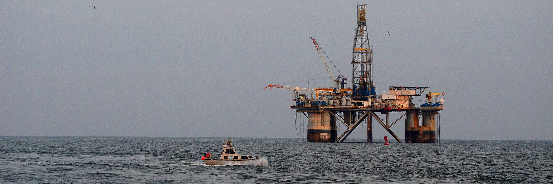
This week NOAA’s Office of Coast Survey concluded its hydrographic survey response following Hurricane Delta. At the immediate request of the U.S. Army Corps of Engineers (USACE), NOAA’s navigation response teams (NRTs) and NOAA Ship Thomas Jefferson surveyed areas within the Gulf Intracoastal Waterway (GIWW), Calcasieu Ship Channel, and the entrance to the channel. With lessons learned from the response to Hurricane Laura — the first major hurricane of the 2020 season and the first hurricane response during a pandemic — the teams and Thomas Jefferson successfully collected, processed, and delivered data to the USACE, identifying significant hazards to navigation and helping to ensure the timely reopening of waterways.
Continue reading “NOAA concludes hydrographic survey response following Hurricane Delta”NOAA wants to hear from you on ocean and coastal mapping topics
There are three opportunities in the coming month to provide input to NOAA on its navigation services and the future implementation of national ocean and coastal mapping strategies, development of standard ocean mapping protocols, and precision marine navigation.
Continue reading “NOAA wants to hear from you on ocean and coastal mapping topics”NOAA navigation response teams complete hydrographic surveys following Hurricane Laura
Hurricane Laura, the first major hurricane of the 2020 Atlantic Hurricane Season, made landfall over Louisiana in the early morning hours of Thursday, August 27. As a Category 4 storm and with maximum sustained winds reaching 150 miles per hour, it caused significant damage along the Gulf coasts of Louisiana and southeastern Texas. For NOAA’s Office of Coast Survey – whose job it is to identify dangers to navigation and help speed the reopening of ports and waterways following severe storms – this marked the first hydrographic survey response effort of the hurricane season.
Continue reading “NOAA navigation response teams complete hydrographic surveys following Hurricane Laura”NOAA Coast Survey’s new strategy supports charting mandates and broader seafloor mapping
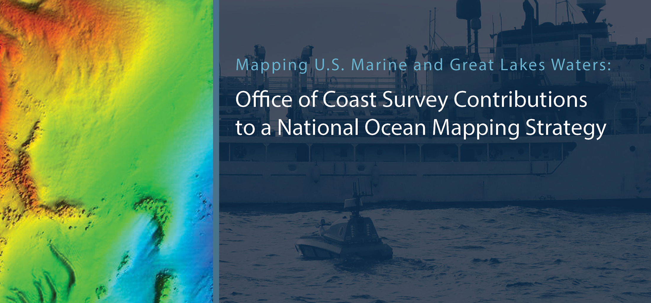
This week, NOAA’s Office of Coast Survey released the Mapping U.S. Marine and Great Lakes Waters: Office of Coast Survey Contributions to a National Ocean Mapping Strategy. This report is part of NOAA’s ongoing commitment to meet core surveying and nautical charting mandates while supporting broader needs to fill gaps in seafloor mapping and environmental sciences.
Continue reading “NOAA Coast Survey’s new strategy supports charting mandates and broader seafloor mapping”High-definition charts advance precision marine navigation
By Craig Winn, HD charting portfolio manager
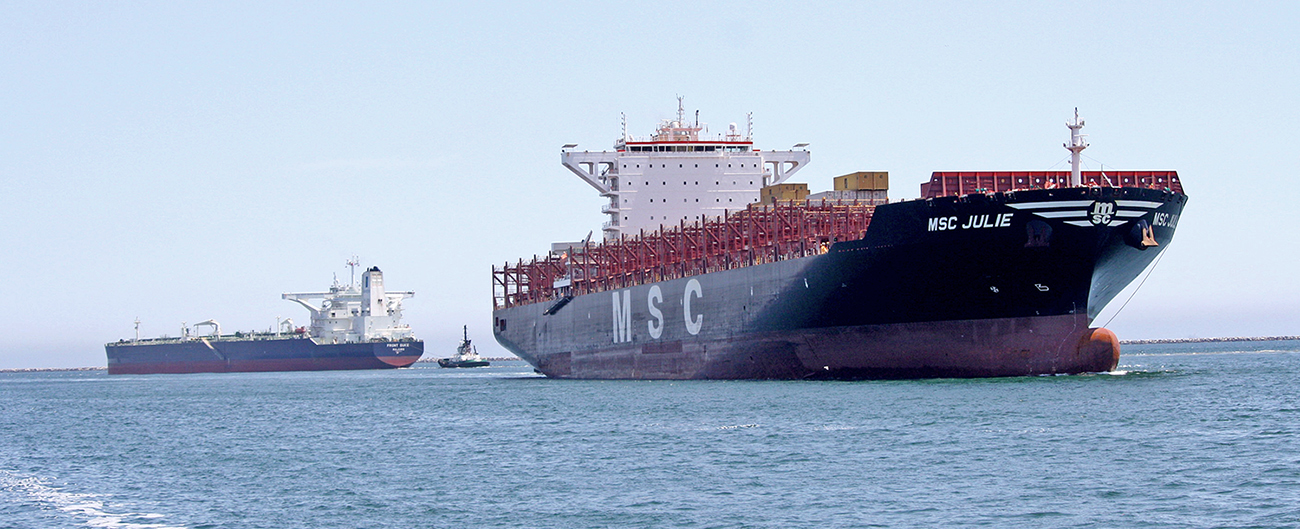
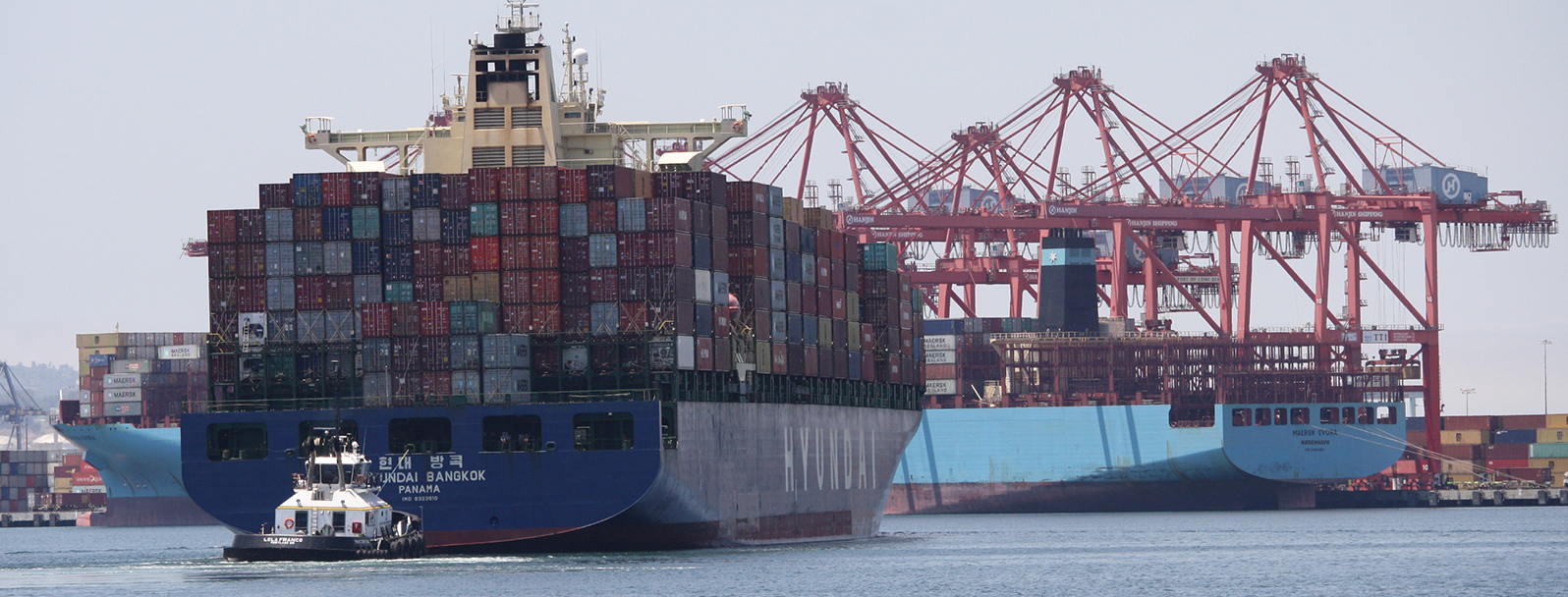
For large vessels entering port where there is next to zero margin for error, pilots and shipmasters are looking for the highest resolution data available to help them navigate these tight spaces safely and efficiently. NOAA’s Office of Coast Survey recently constructed and released 16 high-definition (HD), band 6 (or berthing scale) electronic navigational charts for Los Angeles/Long Beach Harbor, providing mariners with the best charts available to do their job.
Continue reading “High-definition charts advance precision marine navigation”A message to hydrographers: Your time is now
By Rear Adm. Shep Smith, Director of NOAA’s Office of Coast Survey
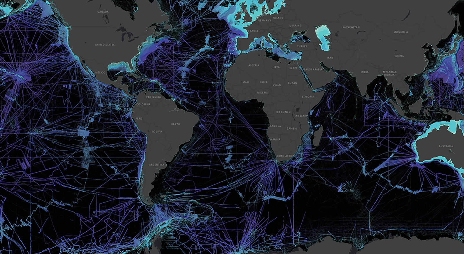
There has never been a better time to be a hydrographer. Our skills, data, and technology are in high demand globally, driven by an increased emphasis both on supporting the blue economy and of protecting the ocean upon which all life on earth depends. The UN declared this decade the “Decade of Ocean Science for Sustainable Development,” and that vision specifically calls out the need to map the world’s oceans. The Nippon Foundation has breathed new energy into the century-long project to create a General Bathymetric Chart of the Oceans (GEBCO) with a supporting campaign called Seabed 2030. Hydrography is now invaluable for habitat mapping, for mineral and energy exploration, for offshore wind development, and for ocean modeling supporting everything from predicting local harmful algal blooms to understanding the earth system itself at a global scale.
Continue reading “A message to hydrographers: Your time is now”

