By Craig Winn, HD charting portfolio manager
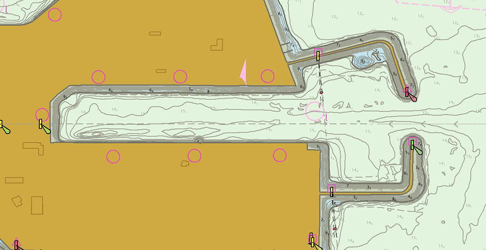
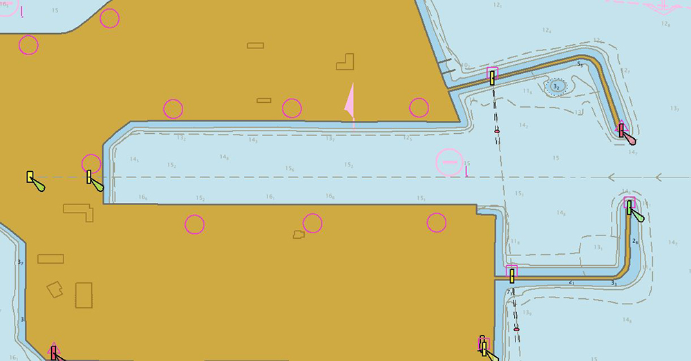
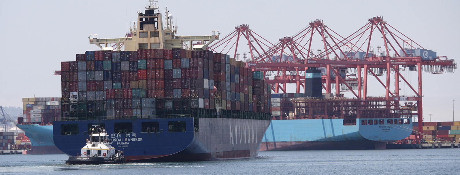
For large vessels entering port where there is next to zero margin for error, pilots and shipmasters are looking for the highest resolution data available to help them navigate these tight spaces safely and efficiently. NOAA’s Office of Coast Survey recently constructed and released 16 high-definition (HD), band 6 (or berthing scale) electronic navigational charts for Los Angeles/Long Beach Harbor, providing mariners with the best charts available to do their job.
HD charts contain all features necessary for navigation, but also have bathymetry with one-meter curve intervals. They comply with the International Hydrographic Organization’s S-57 standard and offer a new opportunity to deliver chart products that fully take advantage of high-resolution hydrographic surveys.


The HD charts for Los Angeles/Long Beach Harbor are available through Regional ENC Distribution Centers (RENC) and from the Coast Survey’s website. These products represent an innovation in the delivery of bathymetric data within our navigation products. We welcome user feedback on improving these electronic navigational charts through the ASSIST tool.
As Coast Survey continues to collect high quality, high-resolution hydrographic data in major U.S. ports, Coast Survey plans to construct more HD charts within our product suite. Coast Survey is currently planning a scheme of HD charts covering the Mississippi River from the mouth of the river extending up to Baton Rouge, Louisiana.

