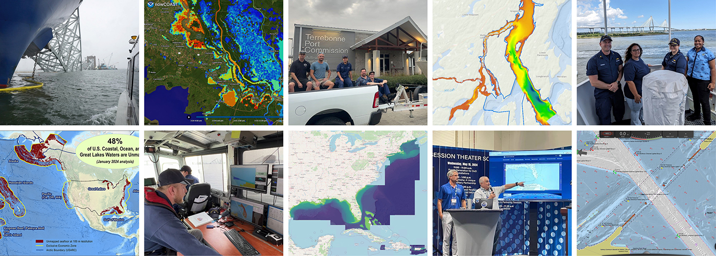
As we look ahead to continued progress in 2025, NOAA’s Office of Coast Survey is proud to share some highlights of the past year with you. We mounted successful emergency responses to reopen ports quickly and safely after hurricanes and a bridge collapse; completed a five-year process to transition to fully electronic navigational chart production; provided hands-on learning experiences for students aboard NOAA Ship Nancy Foster; and much more, all in service of delivering authoritative ocean and lakebed mapping information as the nation’s chartmaker.
Continue reading “Office of Coast Survey 2024 Year in Review”The Office of Coast Survey’s ongoing response to the Francis Scott Key Bridge disaster
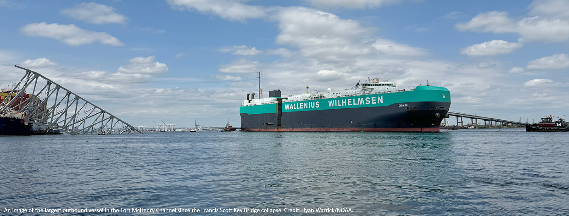
On Tuesday, March 26, 2024, the 984-foot M/V DALI allided with the Francis Scott Key Bridge near Baltimore, Maryland, sending the bridge tumbling into the Patapsco River, resulting in the tragic loss of six construction workers, and triggering a local, state, and federal response. Large sections of the bridge’s structure lay across the main shipping channel into the Port of Baltimore closing the deepest shipping lane into and out of the port, and resulting in an estimated loss of $15 million in daily economic activity for the area. All shipping traffic was diverted from the area, enabling first responders to conduct high-priority rescue and recovery operations and allowing highly trained salvage crews to begin the arduous task of removing bridge wreckage. Due to the amount of debris in the water, it was evident that salvage operations would take some time, and the priority at the time was to open the port for at least some vessel traffic.
Continue reading “The Office of Coast Survey’s ongoing response to the Francis Scott Key Bridge disaster”A look back at 2023 and the Office of Coast Survey’s significant activities throughout the year
NOAA’s Office of Coast Survey is reflecting on a successful and remarkable 2023! We completed many significant activities with meaningful impacts. As we look ahead to more progress in 2024, we are proud to share some highlights of the past year in our Coast Survey Year in Review ArcGIS StoryMap.
Continue reading “A look back at 2023 and the Office of Coast Survey’s significant activities throughout the year”Bringing nautical charts of the Erie Canal into the digital era
The construction of the Erie Canal was one of 19th Century America’s most significant feats of engineering. Built between 1817 and 1825, the canal provided a water route from Albany to Buffalo, New York, nearly 363 miles to the west. The Canal connected the Hudson River with the Great Lakes via parts of the Mohawk River, through various land cuts and natural lakes. The New York State Public Works Department and the US War Department’s Corps of Engineers began geographically documenting the canal’s route with maps and nautical charts beginning in 1917. The Department of Commerce’s National Oceanic and Atmospheric Administration took ownership of the charts in the early 1970’s and has maintained and updated them for over 50 years. Currently, these charts are undergoing changes to usher them into the digital era of electronic navigational charts.
Check out our digitizing the Erie Canal ArcGIS StoryMap linked here or click the image below!

NOAA helps develop undergraduate course in lakebed mapping
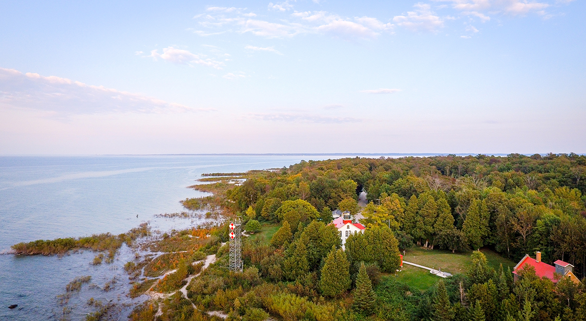
As the New Blue Economy grows along with demands for a climate-ready workforce, NOAA is connecting the dots between climate resilience and the need for a workforce skilled in science and technology supporting ocean and coastal mapping. Exposure to key disciplines, from geodesy, oceanography, and science data management to modeling, hydrography and GIS-based cartography, is critical to building robust interest, opportunities and expertise in the government and industry geospatial careers supporting climate resilience. NOAA works with a variety of partners to advance workforce development in these foundational geospatial areas. In particular, hydrography – measuring water depths, locating hazards, and describing the seafloor – is a challenging but exciting field dependent on skilled technicians, surveyors, and scientists to acquire mapping data using state-of-the-art technologies. With only 50% of U.S. coastal, ocean and Great Lakes waters mapped, there is a lot of work to do! Read on to learn about a hydrographic surveying project NOAA is supporting with Northwestern Michigan College in the Great Lakes.
Continue reading “NOAA helps develop undergraduate course in lakebed mapping”Naming Brennan Reef, a previously uncharted pinnacle in Channel Islands National Marine Sanctuary
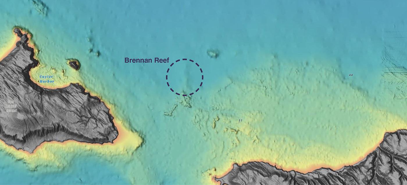
NOAA Corps Rear Adm. Richard T. “Rick” Brennan, recent director of NOAA’s Office of Coast Survey, was deeply dedicated to NOAA’s mission and was an integral part of building connections across NOAA programs to benefit coastal communities around the United States. One example of Rick’s leadership was the Southern California Seafloor Mapping Initiative, a partnership between Coast Survey, Office of National Marine Sanctuaries (ONMS), National Centers for Coastal Ocean Science (NCCOS) and National Marine Fisheries Service (NMFS). Among many important accomplishments of this coordinated mapping effort was the survey of a previously uncharted reef in Channel Islands National Marine Sanctuary. Through legislative action led by U.S. Congressman Salud Carbajal of California’s 24th District, this reef has been officially designated as “Brennan Reef.”
Continue reading “Naming Brennan Reef, a previously uncharted pinnacle in Channel Islands National Marine Sanctuary”NOAA Custom Chart version 2.0 now available to the public
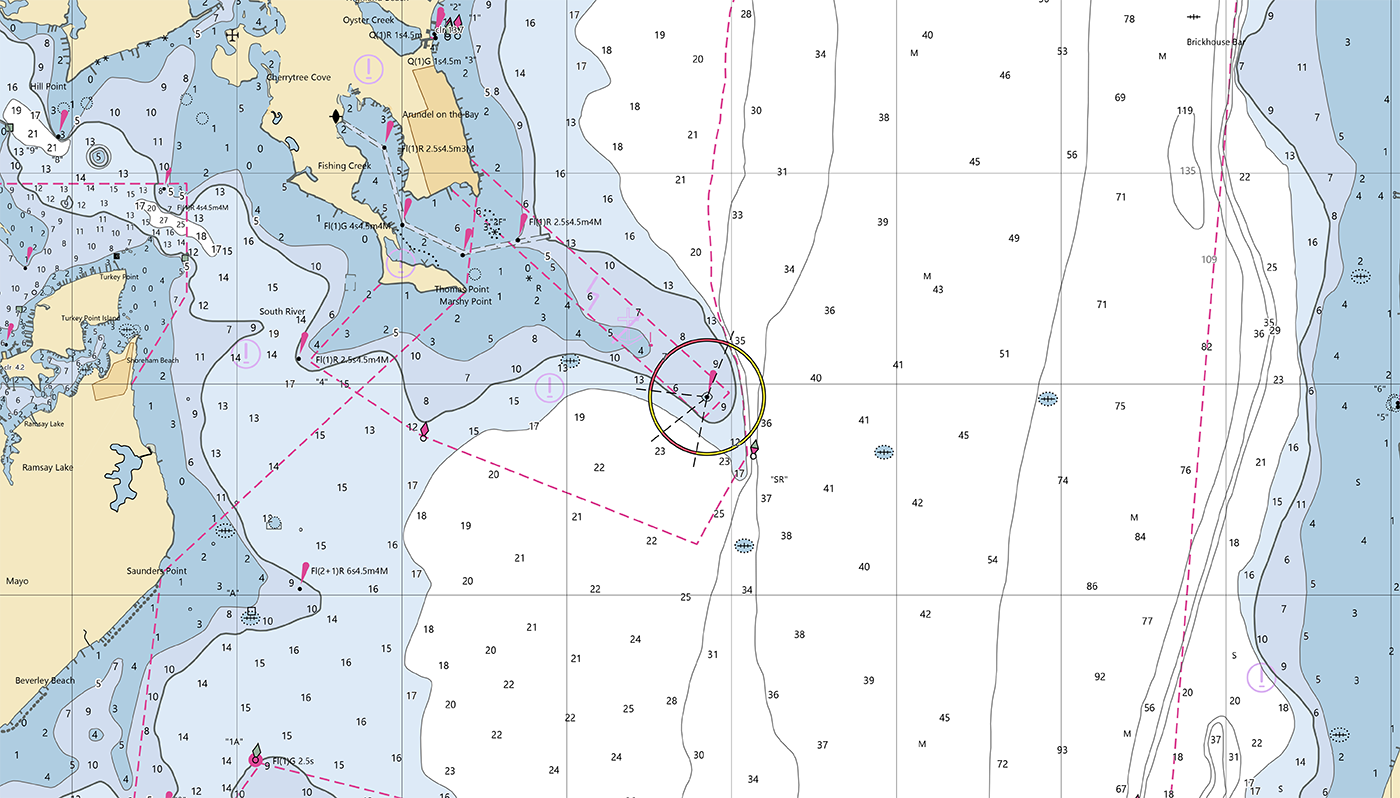
On February 14, 2023, NOAA’s Office of Coast Survey released NOAA Custom Chart version 2.0, a dynamic map application, which enables users to create their own paper and PDF nautical charts derived from the official NOAA electronic navigational chart (NOAA ENC®), NOAA’s premier nautical chart product.
Continue reading “NOAA Custom Chart version 2.0 now available to the public“Help keep nautical charts up to date through citizen science
NOAA maintains a suite of nearly 2000 electronic navigational charts (NOAA ENC®), as well as the ten volume United States Coast Pilot®. The seafloor and coastline are dynamic environments, which means that our products are constantly scrutinized for possible changes. Each year we make thousands of updates to ENCs, ensuring we are providing the most accurate products possible. The source data for most of these updates comes from NOAA or contractor surveys or from our federal partners, such as the U.S. Army Corps of Engineers and the U.S. Coast Guard. However, we also rely on many other data sources to help keep our ENCs up-to-date.
Continue reading “Help keep nautical charts up to date through citizen science”Have it your way – creating customized nautical charts using the latest data
Nautical charts have always contained a great amount of information – even more so with electronic navigational charts. This information is constantly being updated, necessitating the need to keep your nautical chart suite as current as possible. The Office of Coast Survey’s online NOAA Custom Chart application enables users to create nautical charts directly from the latest official NOAA electronic navigational chart (NOAA ENC®) data. Users now have the ability to create their own nautical charts using individually set parameters, and then save this custom nautical chart as a file that can be viewed or printed.
Continue reading “Have it your way – creating customized nautical charts using the latest data”Coast Survey launches NOAA Chart Display Service
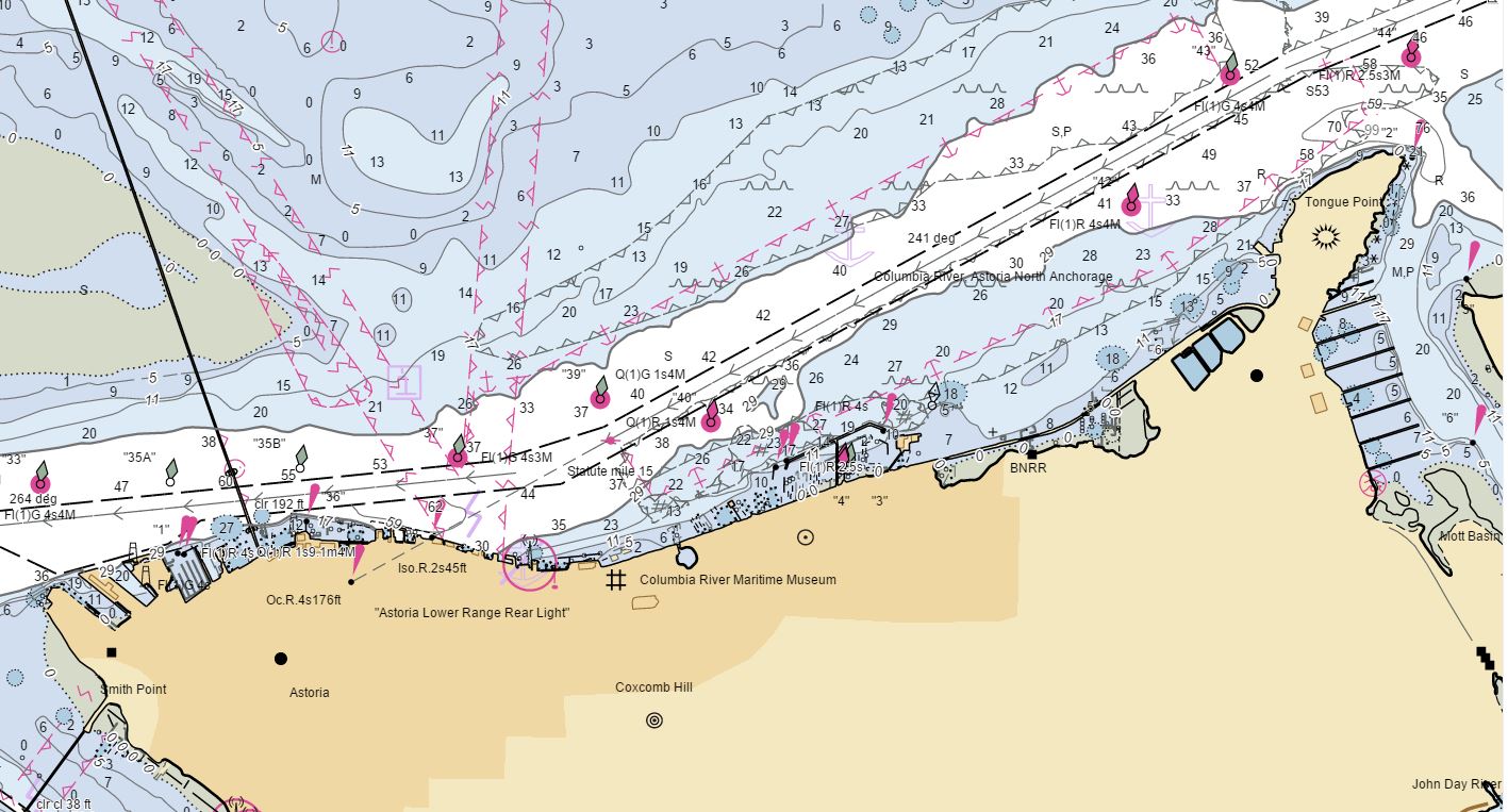
The new NOAA Chart Display Service (NCDS) renders NOAA electronic navigational chart (NOAA ENC®) data with “traditional paper chart” symbology in online and offline applications for which a basemap of nautical chart data is desired, including GIS, web-based, and mobile mapping applications. The new service uses symbols, labels, and color schemes familiar to those who have used NOAA paper nautical charts or the NOAA Custom Chart application. NCDS is available as Esri REST Map Service, OGC Web Map Service (WMS), and MBTiles formats.
Continue reading “Coast Survey launches NOAA Chart Display Service”

