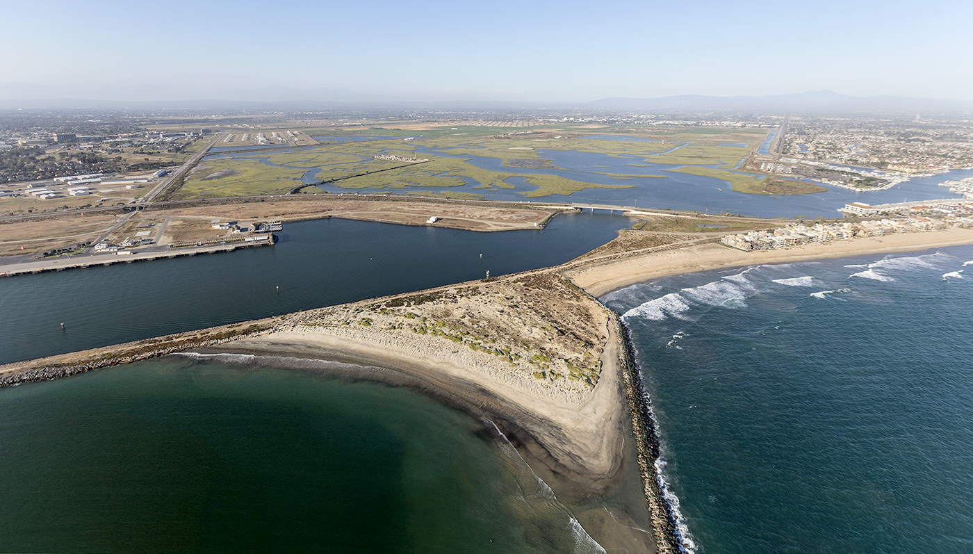
Nautical charts are updated with the most current information available through several processes and workflows within NOAA’s Office of Coast Survey. The large majority of these updates consist of revisions to water depth information. The bottom of a water body is changeable by nature, thus hydrographic surveys are constantly necessary to show contemporary depths in a given body of water. What doesn’t happen quite as often are changes to land along the coast, altering the way inlets, harbor entrances, and river mouths appear from a bird’s eye view. Unless there has been a catastrophic event, these changes in land are usually the result of human interaction.
Continue reading “The nautical chart update process – build it and we will chart it”Deep fiords and hydrographic history in Glacier Bay National Park
By Ensign Alice Beittel and Ensign Karl Wagner
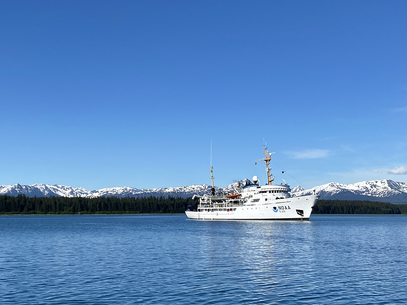
Throughout the spring and summer of 2021, NOAA Ship Rainier surveyed numerous bays and inlets of Alaska’s Glacier Bay National Park and Preserve. As one of the largest national wilderness systems and a United Nations designated World Heritage Site, Glacier Bay National Park includes over 2.7 million acres of marine, terrestrial, and freshwater ecosystems. This dynamic landscape is a living example of a never-ending cycle of geological and ecological change and adaptation. With up to 20-foot tide ranges, seasonal migrations of humpback whales and salmon, and glaciers in flux, the resilient ecosystem attracts millions of visitors each year. This year, Rainier surveyed the Beardslee Islands, Geikie Inlet, Berg Bay, Muir Inlet, Bartlett Cove, Pleasant Island, Taylor Bay, and Dundas Bay. Each survey area revealing several changes in seafloor bathymetry and bottom type. High-resolution seafloor bathymetry will be used to update nautical charts for safe navigation and serve as baseline data to support further research of this culturally and ecologically significant marine environment.
Continue reading “Deep fiords and hydrographic history in Glacier Bay National Park”Coast Survey to shut down the Raster Navigational Chart Tile Service and other related services
NOAA will shut down its Raster Navigational Chart (RNC) Tile Service and the online RNC Viewer on October 1, 2021. The NOAA Seamless Raster Navigational Chart Services will be shut down on January 1, 2022. This is part of a larger NOAA program to end production and maintenance of all NOAA traditional paper and raster nautical charts that was announced in the Federal Register in November 2019.
Continue reading “Coast Survey to shut down the Raster Navigational Chart Tile Service and other related services”Surveying in the Strait of Juan de Fuca during a global pandemic
By Ensign Jessie Spruill and Hydrographic Senior Survey Technician Simon Swart, NOAA Ship Fairweather
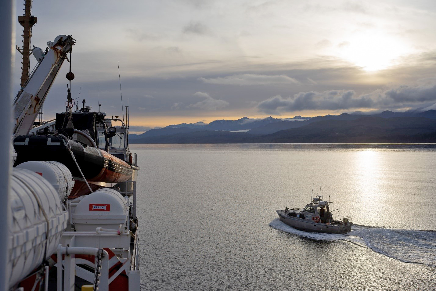
Last Thanksgiving, the crew of NOAA Ship Fairweather were busy surveying in one of the country’s busiest waterways. A global maritime entryway to the Pacific Northwest, the Strait of Juan de Fuca sees over 8,000 transits of deep-draft container ships, cargo and chemical carriers, oil tankers, and barges coming to and from Puget Sound and Canada. In addition to industrial shipping, the Strait of Juan de Fuca also supports over 200,000 transits of recreational vessels and Washington State Ferries. Located north of the Olympic Peninsula, the Strait forms the northwestern most border between the contiguous U.S. and Canada. On the American side, the region is home to eight million people including 50 First Nation communities with centuries old cultural ties to traditional fishing.
Continue reading “Surveying in the Strait of Juan de Fuca during a global pandemic”NOAA Custom Chart version 1.0 released to the public
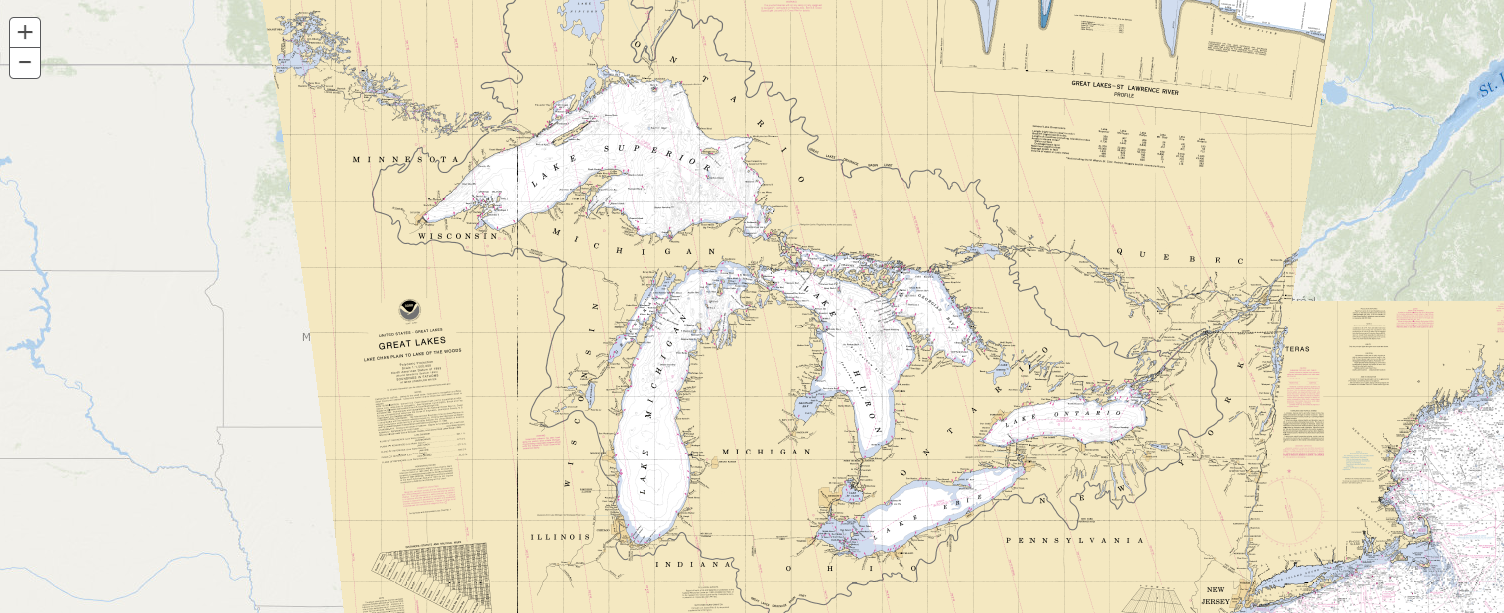
On April 1, 2021, NOAA’s Office of Coast Survey released NOAA Custom Chart version 1.0, a dynamic map tool which enables users to create their own paper and PDF nautical charts derived from the official NOAA electronic navigational chart (NOAA ENC®), NOAA’s premier nautical chart product.
Continue reading “NOAA Custom Chart version 1.0 released to the public”Coast Survey Spotlight: Meet James Moy
Ever wonder what it’s like to be a member of the NOAA Coast Survey team? We use the Coast Survey spotlight blog series as a way to periodically share the experiences of Coast Survey employees as they discuss their work, background, and advice.
James Moy, Cartographer
Continue reading “Coast Survey Spotlight: Meet James Moy”“As a cartographer, I consider it a success if the updates to a chart are accurate and justified, reviewed by another with little or no revisions, and is deemed useful and safe for the public.“
Nautical charts reflect alternate route along Gulf Intracoastal Waterway
In anticipation of the temporary closure of the Gulf Intracoastal Waterway (GIWW)’s Inner Harbor Canal Lock, the Office of Coast Survey released three updated NOAA electronic navigational charts (NOAA ENC®) reflecting the Chandeleur Sound Alternate Route and the addition of 97 Aids to Navigation (ATON). The updated charts include US5LA24M, US4LA34M, and US4MS12M and can be viewed in NOAA’s ENC Viewer or downloaded from NOAA’s Chart Locator.
Continue reading “Nautical charts reflect alternate route along Gulf Intracoastal Waterway”Coast Survey Spotlight: Meet Fernando Ortiz
Ever wonder what it’s like to be a member of the NOAA Coast Survey team? We use the Coast Survey spotlight blog series as a way to periodically share the experiences of Coast Survey employees as they discuss their work, background, and advice.
Fernando Ortiz, Physical Scientist
Continue reading “Coast Survey Spotlight: Meet Fernando Ortiz”“It’s rewarding to be able to utilize new scientific technologies and processes to collect this necessary data.”
Nautical Chart Manual guides cartographers for 100 years
By John Macek
This July marks the 100th anniversary of the Office of Coast Survey’s Nautical Chart Manual. First published on July 10, 1920, as Special Publication No. 66, under the title “RULES AND PRACTICE RELATING TO CONSTRUCTION OF NAUTICAL CHARTS”, the 34- page pamphlet codified the essential guidelines to be used by cartographers of the U.S. Coast and Geodetic Survey.
Continue reading “Nautical Chart Manual guides cartographers for 100 years”High-definition charts advance precision marine navigation
By Craig Winn, HD charting portfolio manager
For large vessels entering port where there is next to zero margin for error, pilots and shipmasters are looking for the highest resolution data available to help them navigate these tight spaces safely and efficiently. NOAA’s Office of Coast Survey recently constructed and released 16 high-definition (HD), band 6 (or berthing scale) electronic navigational charts for Los Angeles/Long Beach Harbor, providing mariners with the best charts available to do their job.
Continue reading “High-definition charts advance precision marine navigation”
