
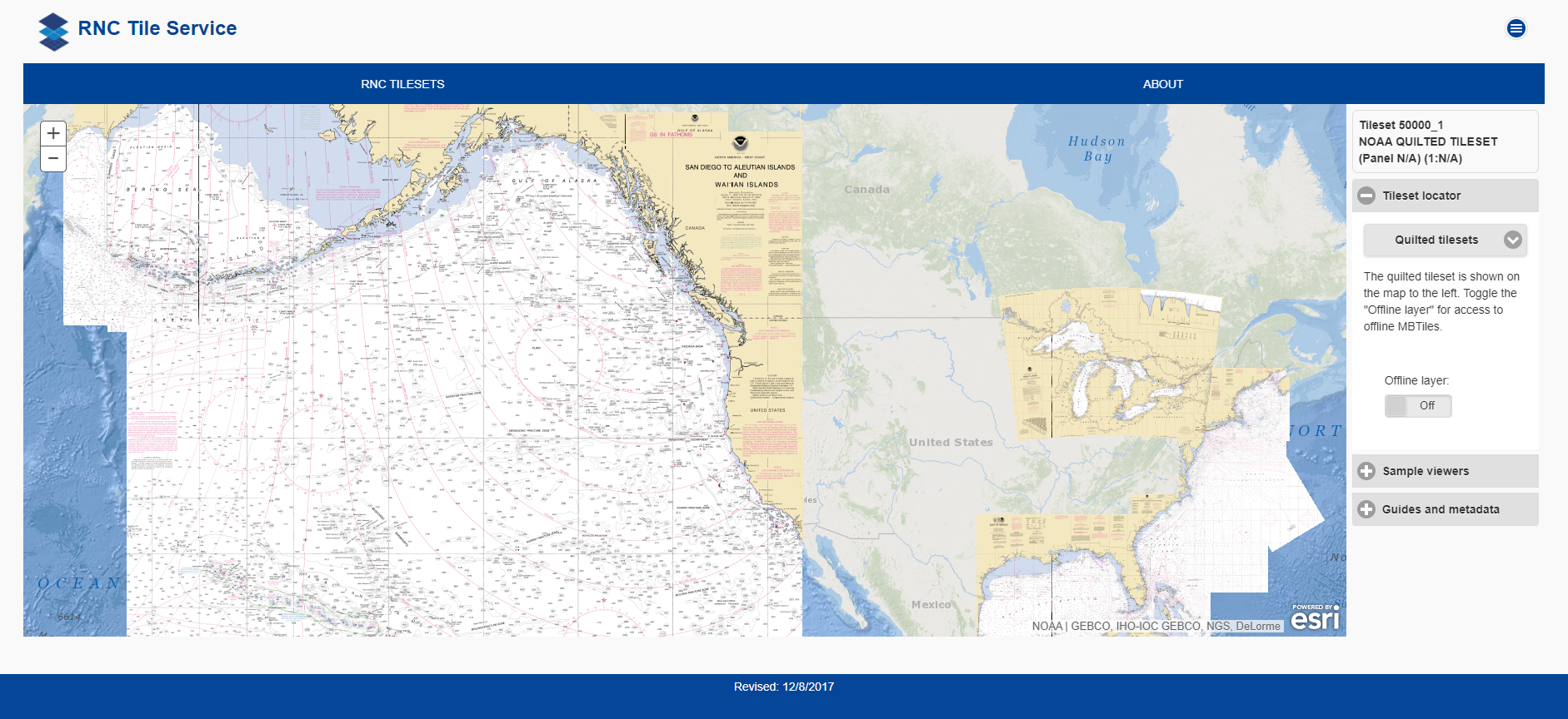
NOAA will shut down its Raster Navigational Chart (RNC) Tile Service and the online RNC Viewer on October 1, 2021. The NOAA Seamless Raster Navigational Chart Services will be shut down on January 1, 2022. This is part of a larger NOAA program to end production and maintenance of all NOAA traditional paper and raster nautical charts that was announced in the Federal Register in November 2019.
Cancellation of traditional NOAA paper nautical charts and associated raster nautical chart products, such as BookletCharts™ and Raster Navigational Charts (RNC) will occur over the next four years and be completed by January 2025. More information about this overarching program to “sunset” traditional nautical chart products is available on the “Farewell to Traditional Nautical Charts” web page.
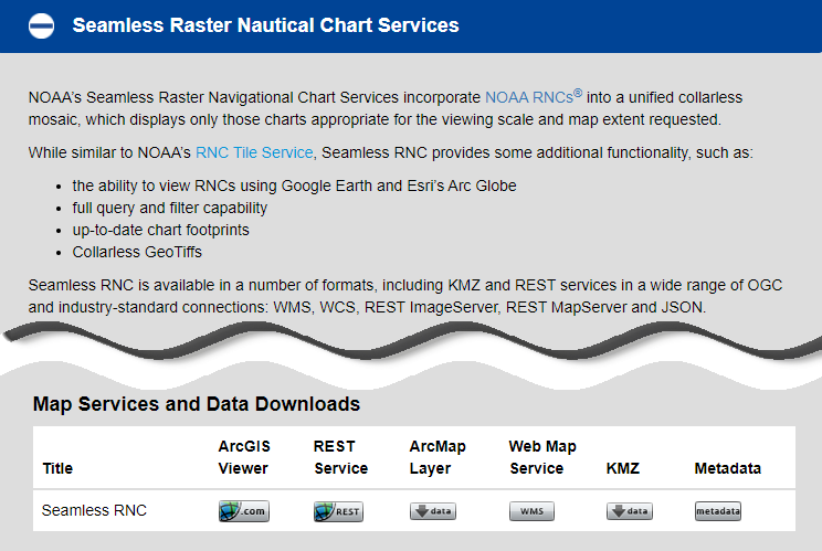
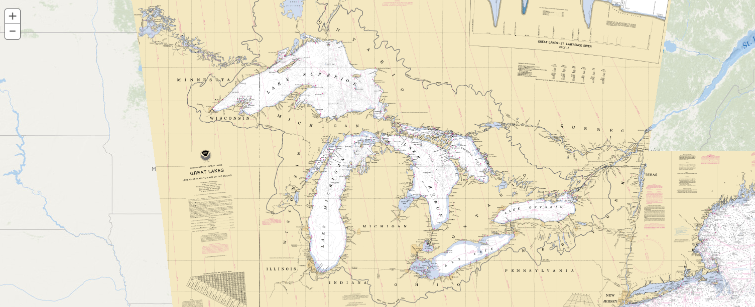
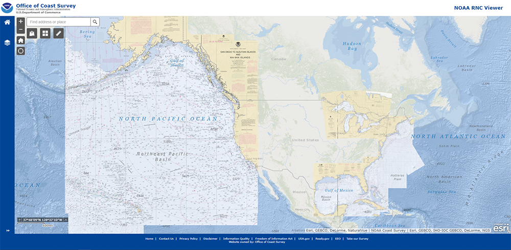
The RNC tile and seamless services provide repackaged chart images that are based on the traditional nautical chart products that are being canceled. As these charts are canceled a patchwork of holes will grow within the coverage of the raster services, which will eventually render them unusable. Therefore, the RNC Tile Service and the Seamless RNC Services will be turned off early in the raster sunset program. The online RNC Viewer displays data from the RNC Tile service, so it will be shut down at the same time.
What is replacing this service in terms of useable nautical chart products?
Thanks for your question Admiral Prahl. There is currently an ENC GIS mapping service that can be used by Geographic Information System (GIS) users to display the more up to date Electronic Navigational Chart (ENC) Data vice the Raster Navigational Chart (RNC) data. The tile and seamless services supported the display of the RNC data that NOAA is in the process of cancelling.
The ENC mapping service can be accessed from the GIS Applications and Viewers section of this page: https://nauticalcharts.noaa.gov/data/gis-data-and-services.html#gis-applications-viewers
This is the same service that is used within our ENC Online Viewer which can be found here: https://nauticalcharts.noaa.gov/enconline/enconline.html.
App developers may opt to utilize this service or the actual ENC products. Similarly, mariners are encouraged to use ENC based navigation software or ENC derived products.
More information about the ENC and access to bulk downloads of the ENCs can be found on this page: https://nauticalcharts.noaa.gov/charts/noaa-enc.html
What will replace the utility to view and save NOAA charts in programs such as google earth?
to many Garmin users, the ability to save NOAA chart information as .kml and .kmz files is essential to the creation and use of custom maps.
Furthermore the google earth utility is used by countless cruisers and others. I hope that NOAA is not abandoning these users
So you are getting rid of a failsafe that mariners can fall back on if their ECDIS fails or their ship loses power?
Exactly, NOAA threw the small boaters under the bus. Try reading that tiny tiny text on an electronic device while you’re in a kayak in the swell with a paddle in your lap.
Helpful Post. Furthermore the google earth utility is used by countless cruisers and others. I hope that NOAA is not abandoning these users.
This looks like the best replacement:
https://nauticalcharts.noaa.gov/data/gis-data-and-services.html#enc-display-services
Note that while these are ENC, they are available as pre-rendered tiles.
please bring back raster charts. the ENC’s are horrible.