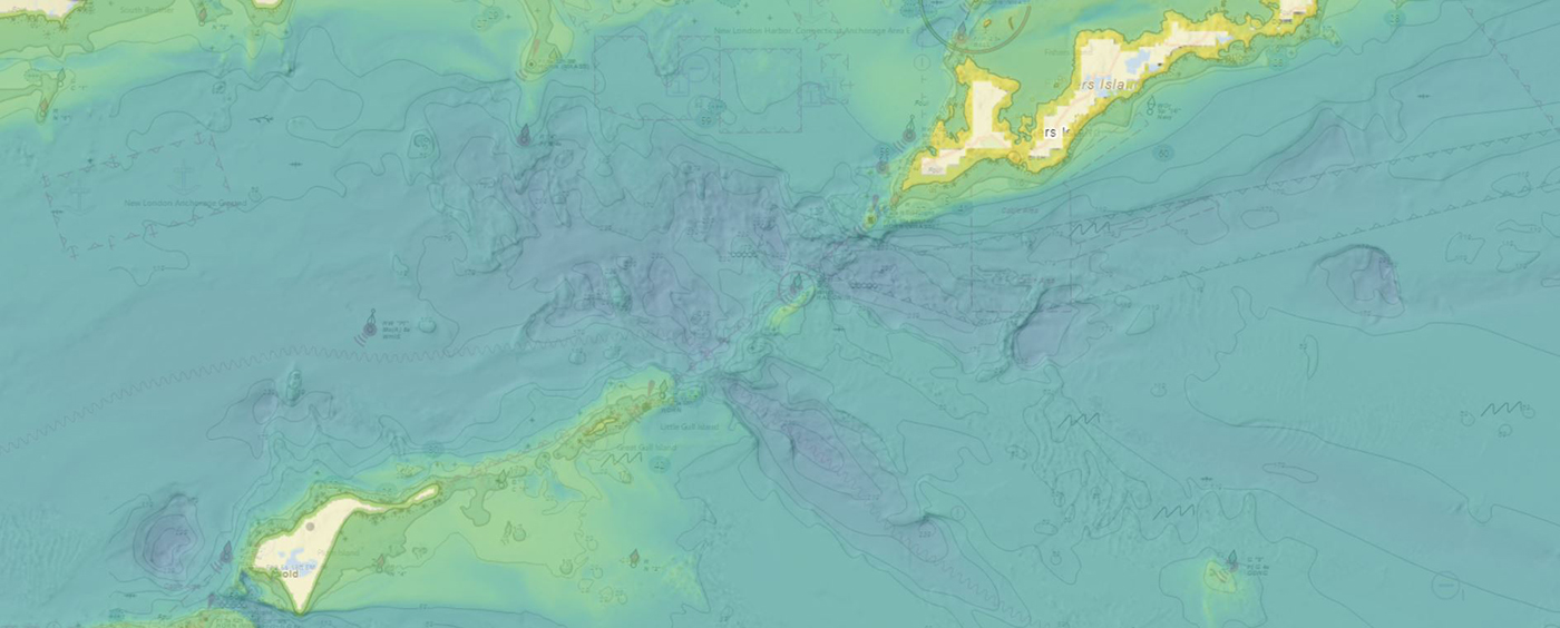
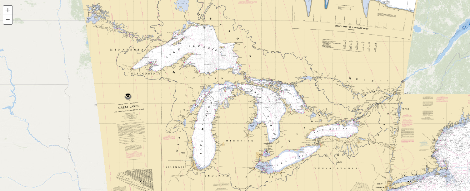
NOAA’s Office of Coast Survey produces and maintains several types of data models and products, from operational forecast systems to nautical charts. One of these models comes from the office’s National Bathymetric Source, or NBS, program which creates and maintains high-resolution bathymetry composed of the best available data. Bathymetry is a term that refers to the depths and shapes of underwater terrain and is a visualization of the “beds” or “floors” of water bodies, including the ocean, rivers, streams, and lakes. This data model is available to the public in a product called BlueTopo.
Data dissemination web interface supports navigation
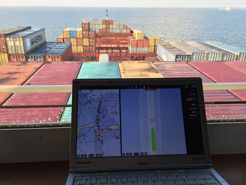
Imagine navigating a vessel along the coast and planning the approach to your destination, whether that be a local marina or large vessel berth in a harbor. What factors affecting the movement of the vessel should you be aware of once underway and in transit through the entrance and into the port? These may include observations on the present and forecasted weather, water current speed and direction, water depths and tidal direction, and any anomalies or warnings that may exist. Knowing what these factors are will assist you in preparing your vessel for safe passage to the destination.
Continue reading “Data dissemination web interface supports navigation”
Help keep nautical charts up to date through citizen science
NOAA maintains a suite of nearly 2000 electronic navigational charts (NOAA ENC®), as well as the ten volume United States Coast Pilot®. The seafloor and coastline are dynamic environments, which means that our products are constantly scrutinized for possible changes. Each year we make thousands of updates to ENCs, ensuring we are providing the most accurate products possible. The source data for most of these updates comes from NOAA or contractor surveys or from our federal partners, such as the U.S. Army Corps of Engineers and the U.S. Coast Guard. However, we also rely on many other data sources to help keep our ENCs up-to-date.
Continue reading “Help keep nautical charts up to date through citizen science”Backscatter and oil platforms – a Channel Islands adventure
By HAST Bailey Schrader, Operations Officer Lt. Shelley Devereaux and HST Adriana Varchetta
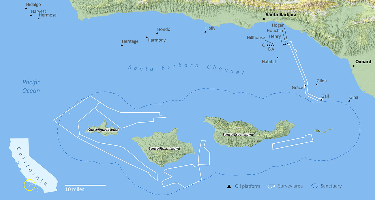
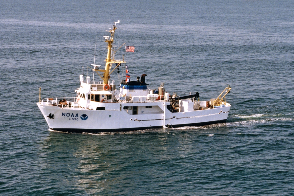
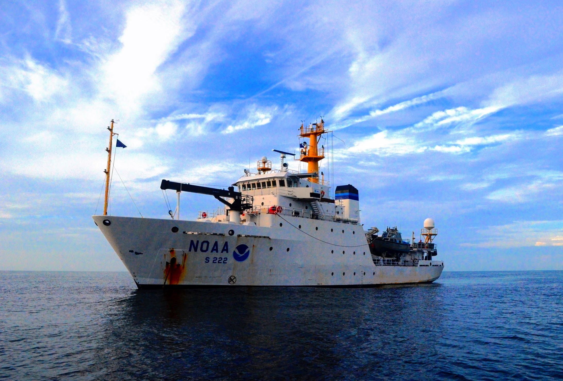
After enjoying the California sunshine in San Francisco Bay, NOAA Ship Fairweather began its transit down the coast towards Santa Barbara, California. The ship would not anchor for the next sixteen days, leaving all crew on 24-hour rotations. Thankfully, the already attenuated crew was visited by augmenting scientists and hydrographers – Physical Scientist Devereaux from the Pacific Hydrographic Branch, HHST Arboleda from NOAA Ship Thomas Jefferson, and HAST Schrader from NOAA Ship Rainier. Together, they traveled south to complete one of the last projects of the season, the area in and around Channel Islands National Marine Sanctuary.
Continue reading “Backscatter and oil platforms – a Channel Islands adventure”Remembering Rear Admiral Richard T. Brennan

It is with great sadness that we inform you of the passing of Rear Admiral Richard “Rick” Brennan, Director of NOAA’s Office of Coast Survey. Rick passed away the evening of Thursday, May 13, 2021. A loyal and deeply empathetic leader, Rick served the NOAA Commissioned Officer Corps and nautical charting community for nearly three decades. Rick will be remembered for his passion for NOAA’s mission, as a role model for countless employees, a talented and knowledgeable hydrographer, and a man dedicated to family and friendship.
Continue reading “Remembering Rear Admiral Richard T. Brennan”Coast Survey to shut down the Raster Navigational Chart Tile Service and other related services
NOAA will shut down its Raster Navigational Chart (RNC) Tile Service and the online RNC Viewer on October 1, 2021. The NOAA Seamless Raster Navigational Chart Services will be shut down on January 1, 2022. This is part of a larger NOAA program to end production and maintenance of all NOAA traditional paper and raster nautical charts that was announced in the Federal Register in November 2019.
Continue reading “Coast Survey to shut down the Raster Navigational Chart Tile Service and other related services”NOAA Ship Thomas Jefferson returns to survey approaches to Chesapeake Bay during the 2020 field season
By Hydrographic Assistant Survey Technician Sophia Tigges
For the first portion of the 2020 field season, NOAA Ship Thomas Jefferson surveyed approaches to Chesapeake Bay. Thomas Jefferson’s 2020 field season consisted of two 45-day “bubble” periods. A “bubble period” is the time a ship closes to personnel transfer while they shelter in place for seven days and undergo COVID-19 testing per NOAA’s Office of Marine and Aviation Operation’s COVID-19 protocol to mitigate exposure. The ship spent the entire first bubble working off the coast of North Carolina and Virginia for this project. These surveys served as a continuation of the ship’s work in the area in the 2019 season. (To learn more about Thomas Jefferson’s work in this area last year, read the 2019 post titled, “NOAA Ship Thomas Jefferson tests innovative DriX unmanned surface vehicle.”
Continue reading “NOAA Ship Thomas Jefferson returns to survey approaches to Chesapeake Bay during the 2020 field season”NOAA electronic navigational charts reduce accidents and provide benefits, study finds
A nautical chart is one of the most fundamental tools available to the mariner. For nearly two centuries, they have provided the critical information for safe and efficient use of our nation’s waterways and for protection of our marine environment. Needless to say that most, if not all mariners have held a nautical chart in their hands, relying on the data to help them navigate safely. That confidence, the ability to avoid accidents, injury, and damage to property, has value, and this value provides the justification for chart production.
Continue reading “NOAA electronic navigational charts reduce accidents and provide benefits, study finds”NOAA releases prototype surface current forecast data for industry testing
Prototype data for surface current forecasts in the International Hydrographic Organization (IHO) S-111 format is now available for testing through the NOAA Big Data Program. In June, NOAA announced that we were preparing surface current forecast data for dissemination trials. Now that these data are available, industry can integrate these prototype data into different types of navigation software systems such as portable pilot units and under keel clearance systems. By making these data more accessible, more machine-to-machine readable, and more integrated, NOAA aims to amplify the power of our navigation data for users across the maritime industry.
Continue reading “NOAA releases prototype surface current forecast data for industry testing”Coast Survey Spotlight: Meet Fernando Ortiz
Ever wonder what it’s like to be a member of the NOAA Coast Survey team? We use the Coast Survey spotlight blog series as a way to periodically share the experiences of Coast Survey employees as they discuss their work, background, and advice.
Fernando Ortiz, Physical Scientist
Continue reading “Coast Survey Spotlight: Meet Fernando Ortiz”“It’s rewarding to be able to utilize new scientific technologies and processes to collect this necessary data.”

