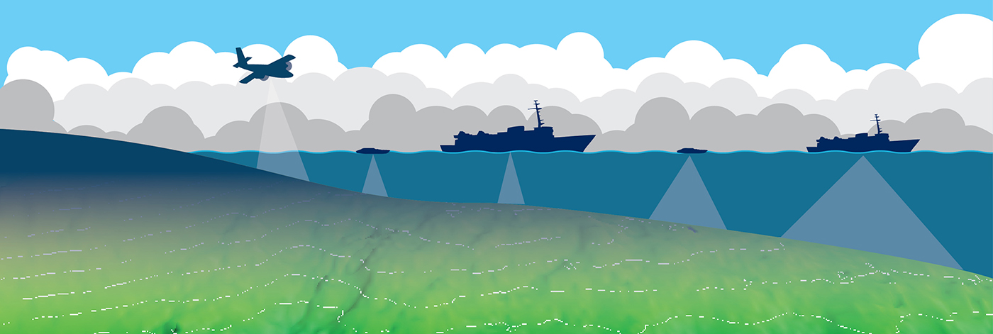
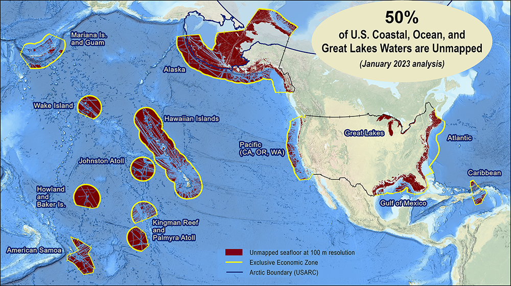
The federal Interagency Working Group on Ocean and Coastal Mapping recently released the sixth annual report on progress made in mapping U.S. ocean, coastal, and Great Lakes waters. To safeguard our national security and economic prosperity, ocean mapping, exploration, and characterization is foundational to maritime commerce, domestic energy and seafood production, tourism and recreation, and understanding of our natural resources, among other interests. The 2020 National Strategy for Mapping, Exploring, and Characterizing the United States Exclusive Economic Zone (NOMEC) makes comprehensive ocean mapping a priority for the coming decade. The Unmapped U.S. Waters report tracks progress toward these important goals.
Continue reading “The Interagency Working Group on Ocean and Coastal Mapping announces progress on mapping U.S. ocean, coastal, and Great Lakes waters”Ancient river systems, glacial grooves, and steep cliffs discovered near Cape Fear, North Carolina
A View into the History of the Cape Fear Region–Tens of Thousands of Years into the Past
By Cmdr. William Winner
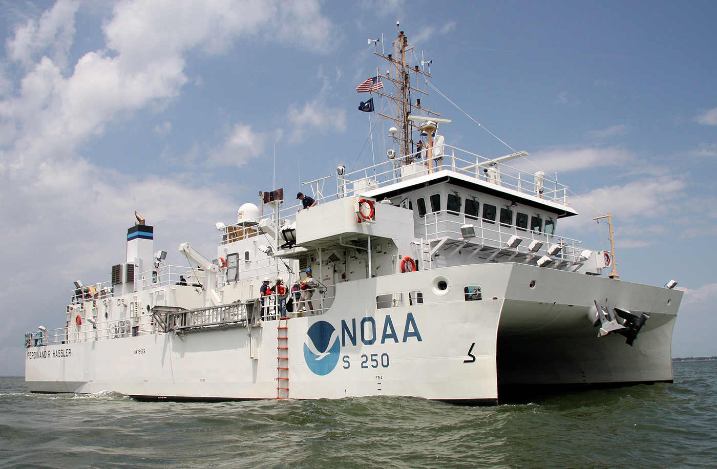
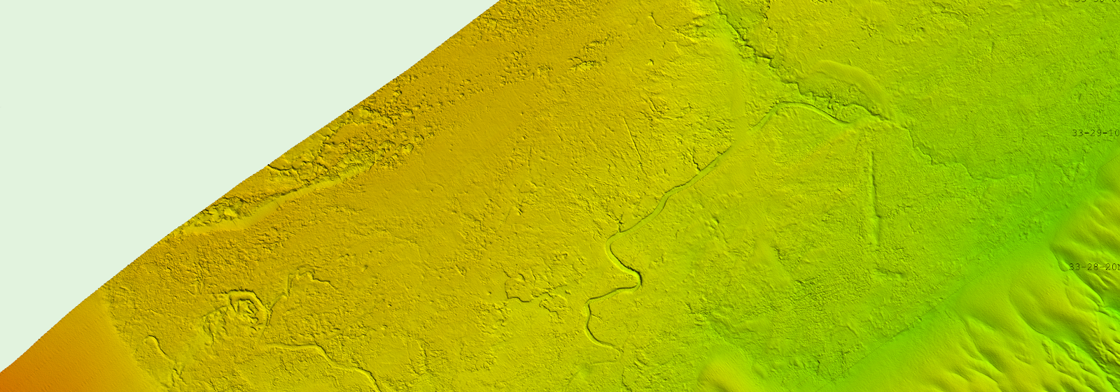
Over the spring and summer of 2024, NOAA Ship Ferdinand R. Hassler surveyed an area southeast of Cape Fear, North Carolina. This area is unique to the East Coast of the United States—whereas most of the East Coast’s seabed is sandy and has large areas of sand waves, this area does not have as much deep sand cover and instead features exposed underlying bedrock.
Continue reading “Ancient river systems, glacial grooves, and steep cliffs discovered near Cape Fear, North Carolina”Office of Coast Survey 2024 Year in Review
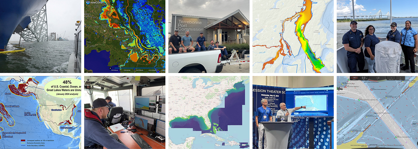
As we look ahead to continued progress in 2025, NOAA’s Office of Coast Survey is proud to share some highlights of the past year with you. We mounted successful emergency responses to reopen ports quickly and safely after hurricanes and a bridge collapse; completed a five-year process to transition to fully electronic navigational chart production; provided hands-on learning experiences for students aboard NOAA Ship Nancy Foster; and much more, all in service of delivering authoritative ocean and lakebed mapping information as the nation’s chartmaker.
Continue reading “Office of Coast Survey 2024 Year in Review”Data dissemination web interface supports navigation
Imagine navigating a vessel along the coast and planning the approach to your destination, whether that be a local marina or large vessel berth in a harbor. What factors affecting the movement of the vessel should you be aware of once underway and in transit through the entrance and into the port? These may include observations on the present and forecasted weather, water current speed and direction, water depths and tidal direction, and any anomalies or warnings that may exist. Knowing what these factors are will assist you in preparing your vessel for safe passage to the destination.
Continue reading “Data dissemination web interface supports navigation”
Possible Ancient River System Discovered off Wilmington, North Carolina
By Alexandra Dawson and Lt. Patrick Debroisse
During the 2023 field season, NOAA Ship Ferdinand R. Hassler was tasked with surveying an area offshore of Wilmington, North Carolina, in the vicinity of Frying Pan Shoals—a dynamic area of dangerously shallow waters. While scientists and crew conducted mapping surveys of the seafloor, they discovered what is believed to be well-preserved ancient remnants of a paleochannel system that could give us a glimpse as to what our North Carolina coastline looked like approximately 20,000 years ago. The location of these newly discovered paleochannels indicates that they may have once been part of North Carolina’s historic Cape Fear River and likely were above sea level during the Last Glacial Maximum.
Continue reading “Possible Ancient River System Discovered off Wilmington, North Carolina”A look back at 2023 and the Office of Coast Survey’s significant activities throughout the year
NOAA’s Office of Coast Survey is reflecting on a successful and remarkable 2023! We completed many significant activities with meaningful impacts. As we look ahead to more progress in 2024, we are proud to share some highlights of the past year in our Coast Survey Year in Review ArcGIS StoryMap.
Continue reading “A look back at 2023 and the Office of Coast Survey’s significant activities throughout the year”The Interagency Working Group on Ocean and Coastal Mapping announces progress report on mapping U.S. ocean, coastal, and Great Lakes waters
The federal Interagency Working Group on Ocean and Coastal Mapping (IWG-OCM) has released the fourth annual report on progress made in mapping U.S. ocean, coastal, and Great Lakes waters. Knowledge of the depth, shape, and composition of the seafloor has far-reaching benefits, including safer navigation, hazard mitigation for coastal resilience, preservation of marine habitats and heritage, and a deeper understanding of natural resources for sustainable ocean economies. The 2020 National Strategy for Mapping, Exploring, and Characterizing the United States Exclusive Economic Zone (NOMEC) and the Nippon Foundation-GEBCO Seabed 2030 Project make comprehensive ocean mapping a priority for the coming decade. The Unmapped U.S. Waters report tracks progress toward these important goals.
Continue reading “The Interagency Working Group on Ocean and Coastal Mapping announces progress report on mapping U.S. ocean, coastal, and Great Lakes waters”Help keep nautical charts up to date through citizen science
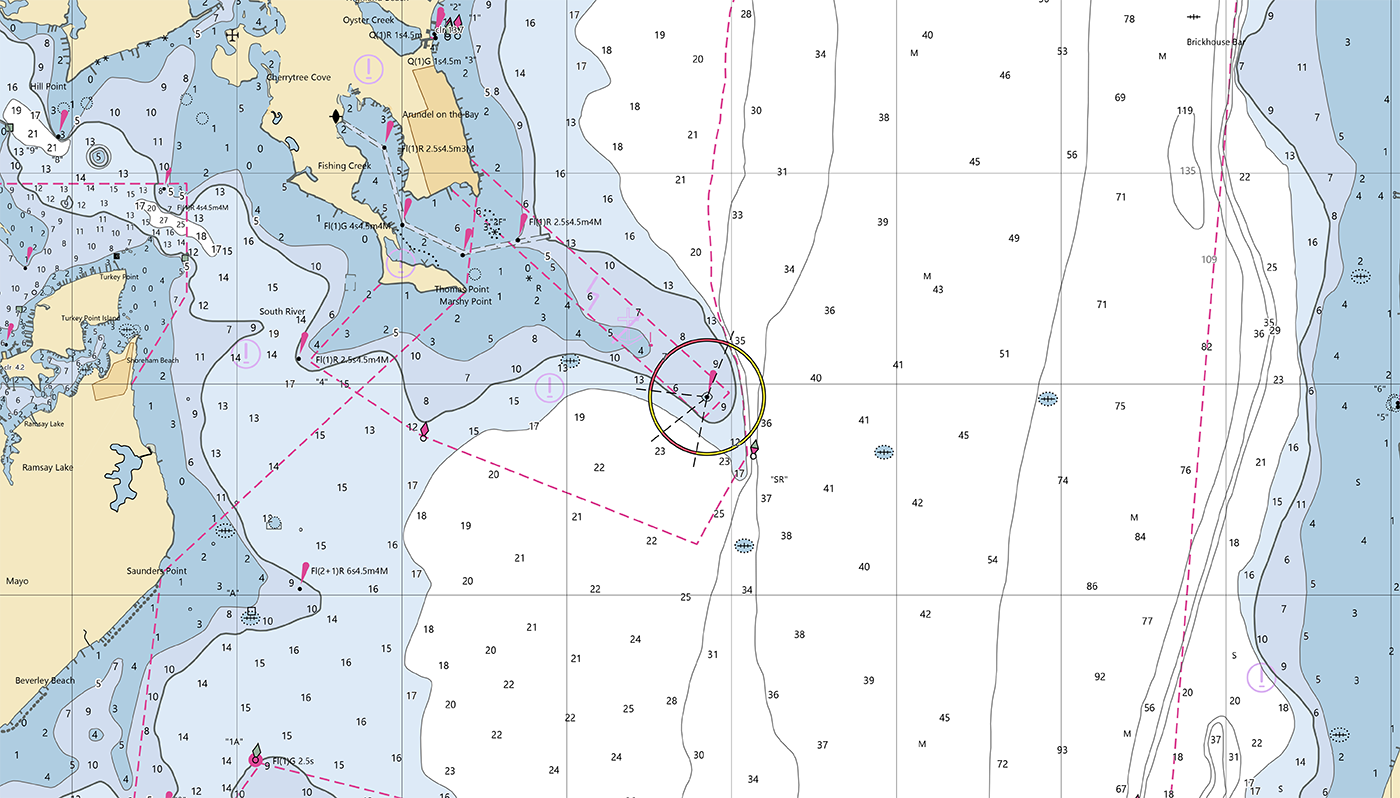
NOAA maintains a suite of nearly 2000 electronic navigational charts (NOAA ENC®), as well as the ten volume United States Coast Pilot®. The seafloor and coastline are dynamic environments, which means that our products are constantly scrutinized for possible changes. Each year we make thousands of updates to ENCs, ensuring we are providing the most accurate products possible. The source data for most of these updates comes from NOAA or contractor surveys or from our federal partners, such as the U.S. Army Corps of Engineers and the U.S. Coast Guard. However, we also rely on many other data sources to help keep our ENCs up-to-date.
Continue reading “Help keep nautical charts up to date through citizen science”Have it your way – creating customized nautical charts using the latest data
Nautical charts have always contained a great amount of information – even more so with electronic navigational charts. This information is constantly being updated, necessitating the need to keep your nautical chart suite as current as possible. The Office of Coast Survey’s online NOAA Custom Chart application enables users to create nautical charts directly from the latest official NOAA electronic navigational chart (NOAA ENC®) data. Users now have the ability to create their own nautical charts using individually set parameters, and then save this custom nautical chart as a file that can be viewed or printed.
Continue reading “Have it your way – creating customized nautical charts using the latest data”Coast Survey’s mobile integrated survey team goes to Antarctica
By, Annie Raymond
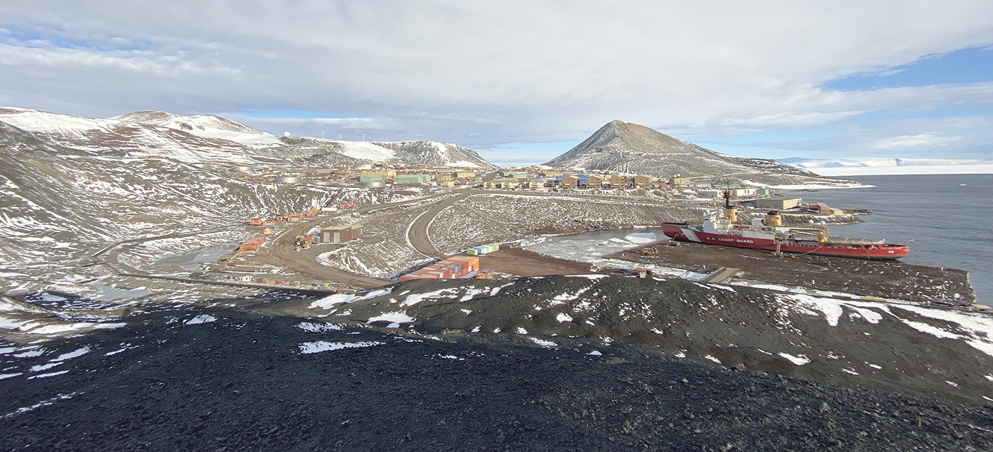
In 1959, following the International Geophysical Year of 1957-58, scientists from twelve nations conducting active research in Antarctica came together and signed the Antarctic Treaty. In the years following, 42 additional countries acceded to the treaty. The treaty preserves the entire continent and surrounding waters solely for purposes of peaceful scientific collaboration and bans resource extraction and military activity. McMurdo Station on Ross Island, operated by the United States through the United States Antarctic Program, a branch of the National Science Foundation (NSF), has emerged as the largest year-round station and primary logistics hub for the region. The first U.S. Operation Deep Freeze happened prior to and in support of the International Geophysical Year of 1957-58. Since then, Operation Deep Freeze has continued annually and has become the name for supply sealift missions to McMurdo, delivering fuel, food, and supplies to scientists in Antarctica.
Continue reading “Coast Survey’s mobile integrated survey team goes to Antarctica”
