Coast Survey Spotlight: Meet Martha Herzog

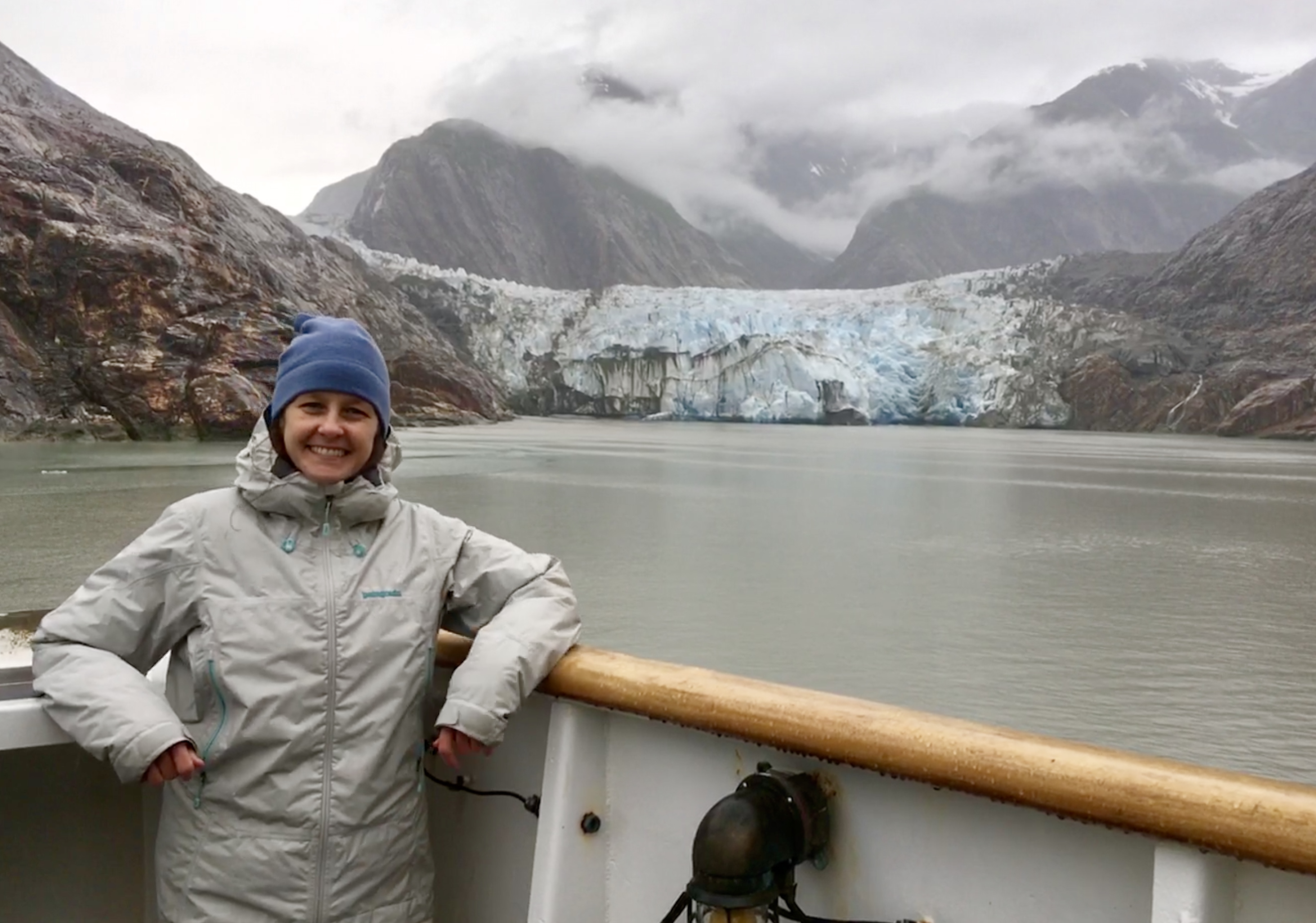
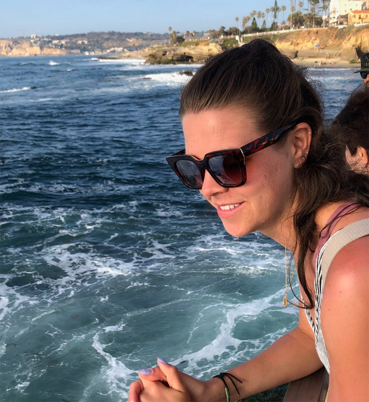
Martha Herzog enjoying the view of Sawyer Glacier in Tracy Arm, Alaska while aboard the "NOAA Ship Rainier."

Ever wonder what it’s like to be a member of the NOAA Coast Survey team? We use the Coast Survey spotlight blog series as a way to periodically share the experiences of Coast Survey employees as they discuss their work, background, and advice.


Martha Herzog, Physical Scientist

“…collecting the most accurate and up-to-date seafloor data to create nautical charting products is essential for ensuring public safety, commerce, and preventing human and environmental catastrophes.” 

Continue reading “Coast Survey Spotlight: Meet Martha Herzog”

NOAA supports arrival of USNS Comfort to New York City

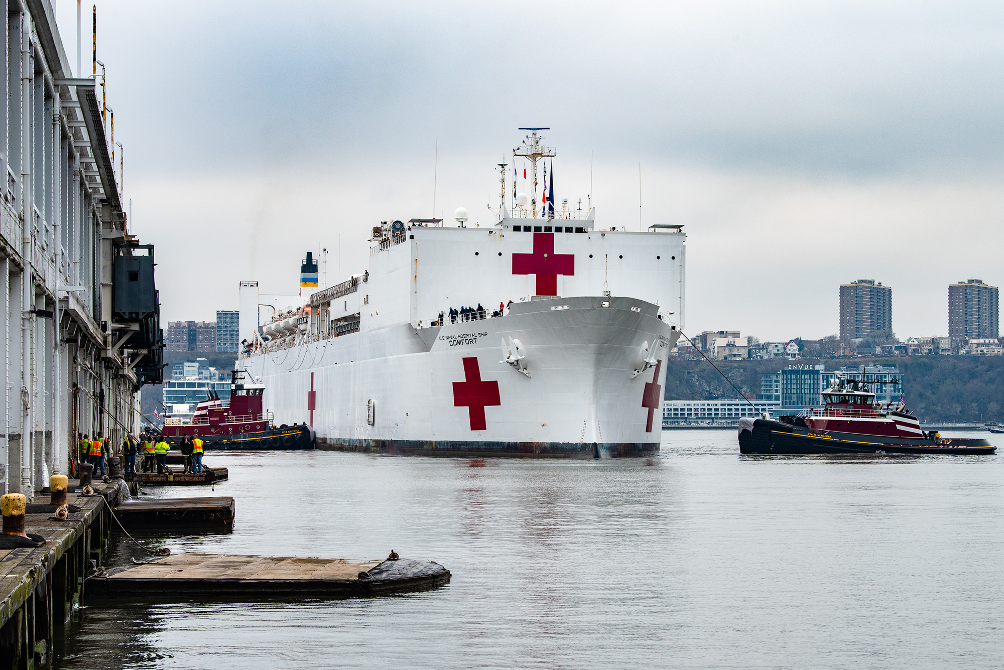
USNS Comfort

For more than 200 years, nautical cartographers have methodically charted our nation’s coastline, adding new features or hazards and updating meandering shorelines, all in an effort to aid safe navigation. However, occasions do arise that require immediate charting, particularly in response to national emergencies. Notable examples include charting the projected oil spill zone during the Deepwater Horizon oil spill disaster, as well as hazards during hurricane response efforts. Most recently, NOAA’s Office of Coast Survey was called upon to support the arrival of USNS Comfort to New York City.

Continue reading “NOAA supports arrival of USNS Comfort to New York City”

Follow the status of electronic navigational chart improvements with NOAA’s new map viewer

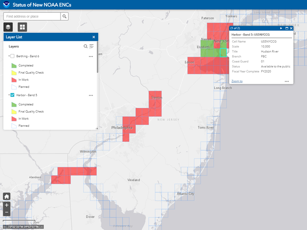
New Jersey and surrounding area displayed in the new web map service.

NOAA’s Office of Coast Survey released a new and improved map viewer featuring the status of NOAA electronic navigational charts (NOAA ENC®) as they undergo major improvements. The data is also available as a GIS map service. The public can now view ENC project status from the planning and creation stages all the way to completion, keeping them better informed when these enhanced navigational charts become available.

Continue reading “Follow the status of electronic navigational chart improvements with NOAA’s new map viewer”

Nautical Charts: Marine Navigation Joins the Geospatial Revolution

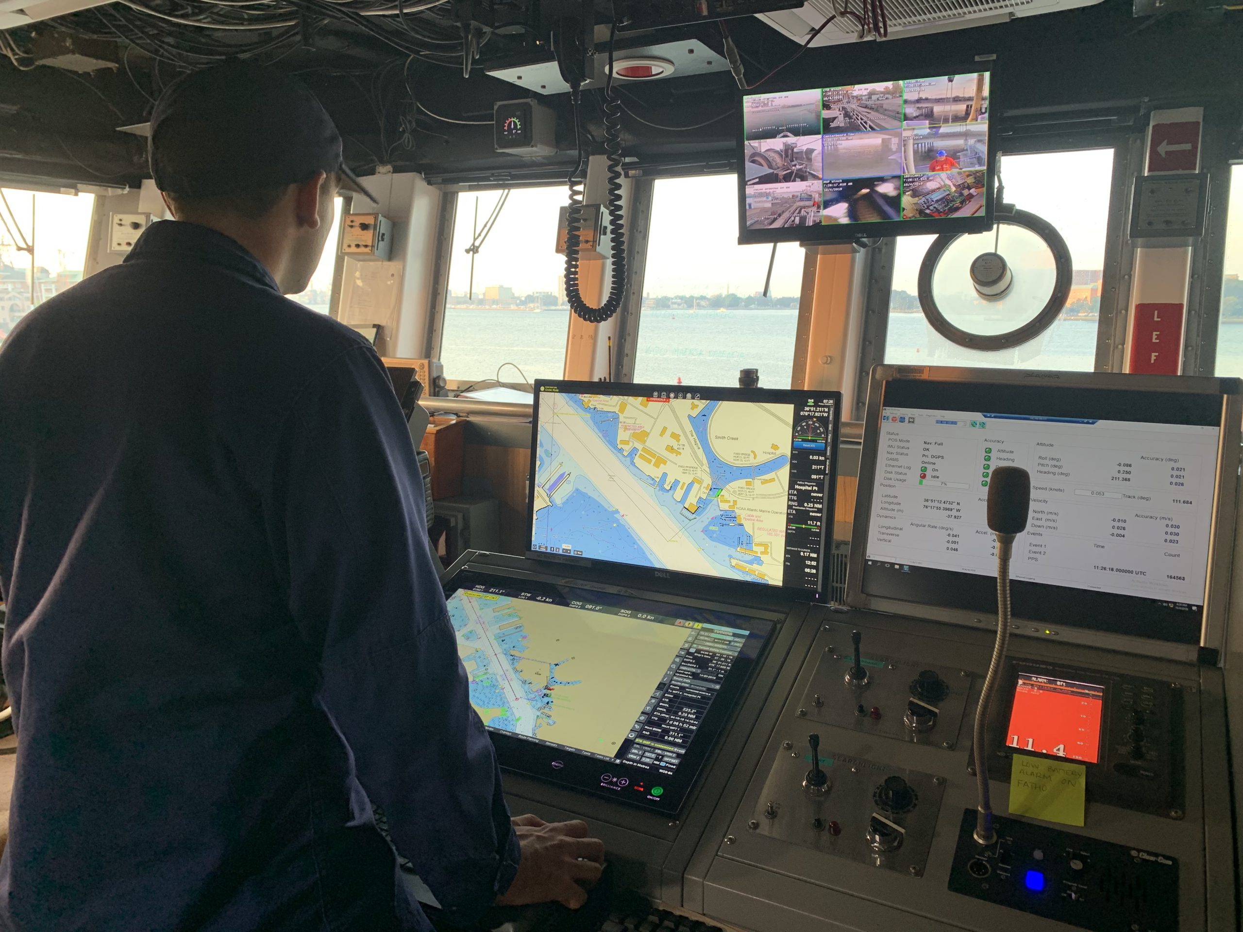
Electronic navigational chart displayed on an Electronic Chart Display and Information System (ECDIS) on NOAA Ship Thomas Jefferson.

By Rear Adm. Shepard M. Smith

When I traveled around Europe as a young man, my first stop upon leaving the train station in a new city was at the tourist bureau kiosk for a paper city map. On a recent trip to Malaysia, I used my phone to find walking instructions to a street market across town. When I arrived, I described my route to my host, who said that the pedestrian bridge I had used only opened the week before.

Continue reading “Nautical Charts: Marine Navigation Joins the Geospatial Revolution”

Coast Survey Spotlight: MaryRose Sheldon

MaryRose Sheldon became attached to the idea of working for NOAA while in college, because the mission and work aligned with her values and passions.

Ever wonder what it’s like to be a member of the NOAA Coast Survey team? We use the Coast Survey spotlight blog series as a way to periodically share the experiences of Coast Survey employees as they discuss their work, background, and advice.


MaryRose Sheldon, marine cartographer

“Mariners use our products to pilot our nation’s waters, and they rely on us to bring attention to obstacles to navigation.”

Continue reading “Coast Survey Spotlight: MaryRose Sheldon”

The Great Lakes are getting a digital upgrade

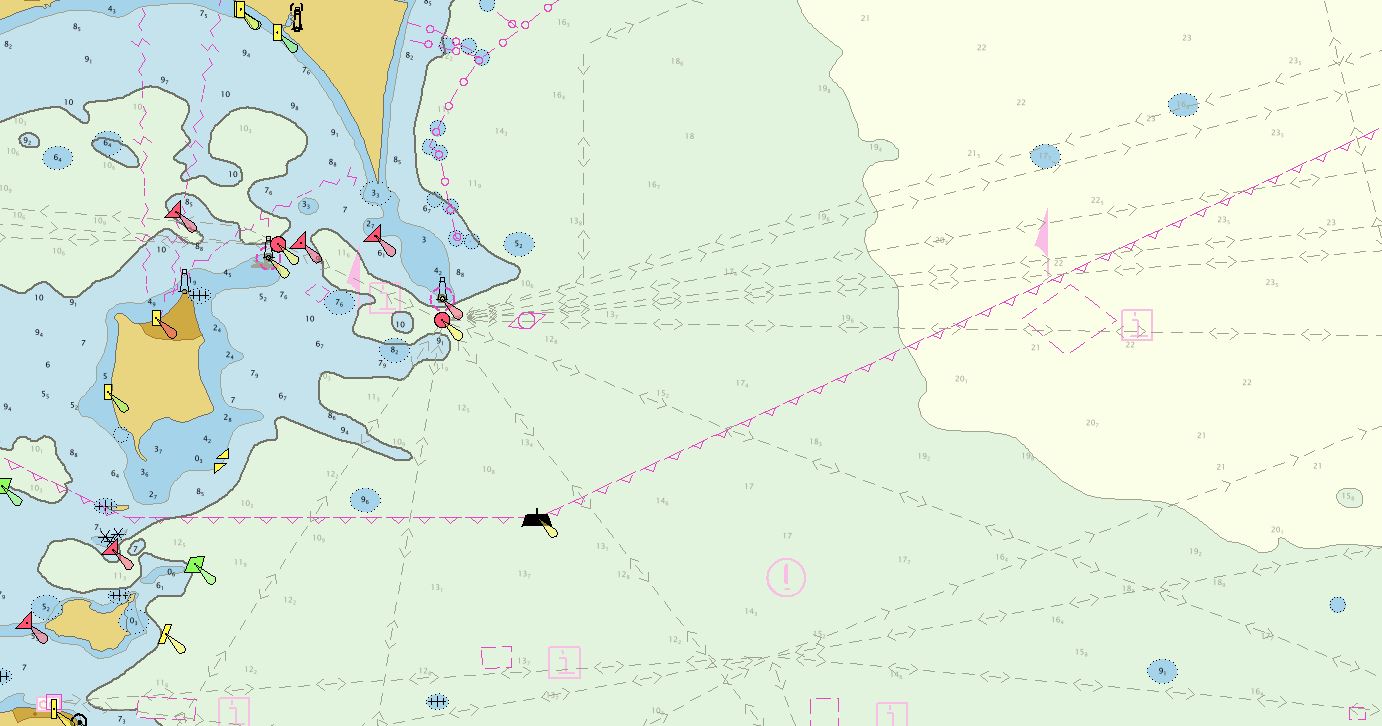
Screenshot of an ENC for the Pelee Passage Southeast Shoal.

NOAA’s Office of Coast Survey collaborated with U.S. and Canadian mariners, the Lake Carriers’ Association (LCA), and the Canadian Chamber of Marine Commerce (CMC) to update the Recommend Courses in Lake Erie and transfer them from paper charts to NOAA electronic navigational charts (NOAA ENC®). This bi-national effort involved compiling and updating information for Lake Erie’s 75 routes which span both U.S. and Canadian waters. These routes cover 20 NOAA and five Canadian ENCs.

Continue reading “The Great Lakes are getting a digital upgrade”

Register for NOAA Nav-cast webinar: How to obtain NOAA ENC-based paper nautical charts

Join us for our next NOAA Nav-cast, a quarterly webinar series that highlights the tools and trends of NOAA navigation services.

How to obtain NOAA ENC-based paper nautical charts after NOAA ends production of traditional paper charts

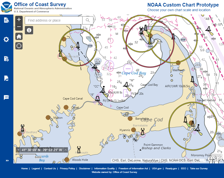
Recently, NOAA announced the start of a five-year process to end traditional paper nautical chart production.  While NOAA is sunsetting its traditional nautical chart products, it is undertaking a major effort to improve the data consistency and provide larger scale coverage within its electronic navigational chart (NOAA ENC®) product suite. Over the next five years, NOAA will work to ease the transition to ENC-based products, such as providing access to paper chart products based on ENC data. The online NOAA Custom Chart prototype application enables users to create their own charts from the latest NOAA ENC data. Users may define the scale and paper size of custom-made nautical charts centered on a position of their choosing. Users may then download, view, and print the output. The application is an easy way to create a paper or digital backup for electronic chart systems.

This webcast will provide an overview of the sunsetting process and a live demonstration of the NOAA Custom Chart prototype, including a discussion of the improvements that are planned for the prototype.

Date and time: Thursday, January 9, 2020, at 2 p.m. (EST)
How to register:  https://attendee.gotowebinar.com/register/7410207397804043779

Coast Survey Spotlight: Meet Rick Powell


Ever wonder what it’s like to be a member of the NOAA Coast Survey team? We use the Coast Survey spotlight blog series as a way to periodically share the experiences of Coast Survey employees as they discuss their work, background, and advice.


Rick Powell, cartographer

“The Coast Pilot is a supplement to the chart, and eventually the electronic navigational chart… This helps ensure that our knowledge of the subject is transferred to the navigator/mariners with little effort.”

Continue reading “Coast Survey Spotlight: Meet Rick Powell”

NOAA seeks public comment on ending production of traditional paper nautical charts

NOAA cartographers review a traditional printed nautical chart.

NOAA is initiating a five-year process to end all traditional paper nautical chart production and is seeking the public’s feedback via a Federal Register Notice published on November 15, 2019. Chart users, companies that provide products and services based on NOAA raster and electronic navigational chart (NOAA ENC®) products, and other stakeholders can help shape the manner and timing in which the product sunsetting process will proceed. Comments may be submitted through NOAA’s online ASSIST feedback tool.

Continue reading “NOAA seeks public comment on ending production of traditional paper nautical charts”

Coast Survey Spotlight: Meet Kolleen Mortimer

Kolleen Mortimer standing on the banks of the Elizabeth River in Portsmouth, Virginia.

Ever wonder what it’s like to be a member of the NOAA Coast Survey team? We use the Coast Survey spotlight blog series as a way to periodically share the experiences of Coast Survey employees as they discuss their work, background, and advice.


Kolleen Mortimer, Physical Scientist

“Knowing the data we examine every day contributes to safe navigational products is greatly rewarding. It’s also rewarding to see the process come to life in a greater scope. When the data leaves my desk and makes it to a chart product, I can say that my work contributed to that.”

Continue reading “Coast Survey Spotlight: Meet Kolleen Mortimer”