Coast Survey Spotlight: Meet Kolleen Mortimer

Kolleen Mortimer standing on the banks of the Elizabeth River in Portsmouth, Virginia.

Ever wonder what it’s like to be a member of the NOAA Coast Survey team? We use the Coast Survey spotlight blog series as a way to periodically share the experiences of Coast Survey employees as they discuss their work, background, and advice.


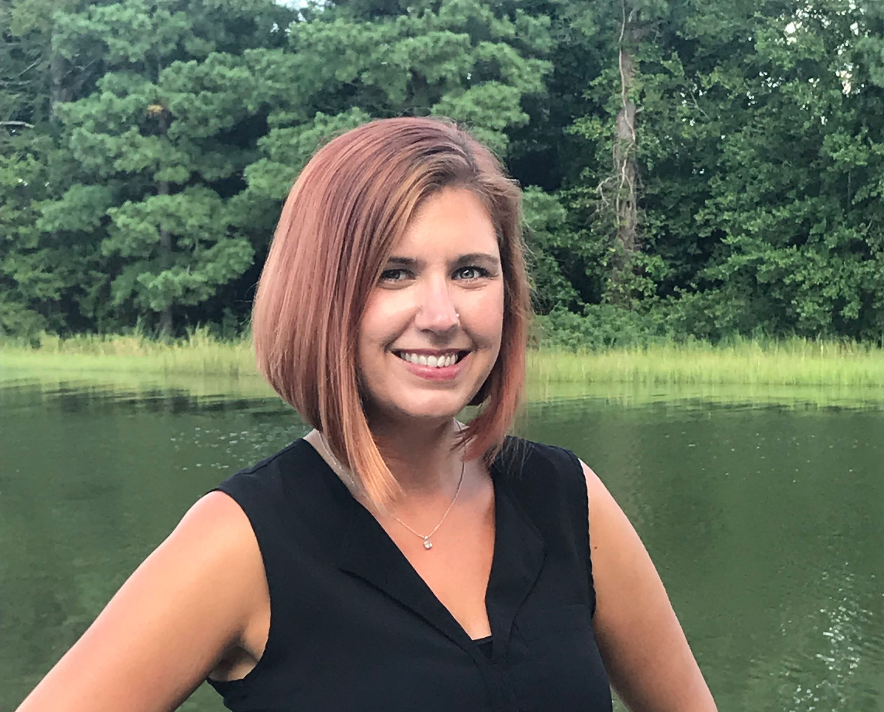
Kolleen Mortimer, Physical Scientist

“Knowing the data we examine every day contributes to safe navigational products is greatly rewarding. It’s also rewarding to see the process come to life in a greater scope. When the data leaves my desk and makes it to a chart product, I can say that my work contributed to that.”

Continue reading “Coast Survey Spotlight: Meet Kolleen Mortimer”

S-100 sea trials: working toward harmonized navigation products

International team participating in the S-100 sea trial.

By Julia Powell, deputy division chief of the Coast Survey Development Lab

On August 27, an international contingent from the United States (NOAA), the United Kingdom Hydrographic Office, and the Canadian Hydrographic Service participated in the S-100 sea trial in Busan, Republic of Korea.

S-100 is the International Hydrographic Organization’s (IHO) Universal Hydrographic Data Model’s framework standard from which a variety of product specifications can be developed for use within navigation systems and marine spatial data infrastructure.  For many years, NOAA and the Ministry of Fisheries of the Republic of Korea have had a Joint Project Agreement and one of the projects is to develop and promote and S-100 test bed.  This test bed is designed to help further the development of S-100 infrastructure used to develop S-100 related products and further the testing of S-100 interoperability within navigation systems.

Continue reading “S-100 sea trials: working toward harmonized navigation products”

NOAA hosts 2019 Nautical Cartography Open House and Chart Adequacy Workshop

Sean Legeer shows a digital cartography display to visiting students.

Last week, NOAA’s Office of Coast Survey held its third annual Nautical Cartography Open House welcoming over 250 attendees from the U.S. and abroad. Government agencies, industry and academic partners, and members of the public attended. The open house featured posters, presentations, tours, and exhibits centered around four themes: Bathymetric Databases, Custom Charting, Innovative Cartography, and Precision Navigation. Dr. Shachak Pe’eri, organizer of the event and chief of the Cartographic Support Branch in the Marine Chart Division, welcomed attendees in the morning and John Nyberg, chief of the Marine Chart Division, gave the keynote speech.

Continue reading “NOAA hosts 2019 Nautical Cartography Open House and Chart Adequacy Workshop”

NOAA releases new edition of nautical chart symbol guide

U.S. Chart No. 1 booklet covers

Edition 13 of U.S. Chart No. 1 is now available to download for free on Coast Survey’s website. Paper copies may also be purchased from any of four NOAA Chart No. 1 publishing agents.

This 130-page book describes the symbols, abbreviations, and terms used on paper  NOAA nautical charts and for displaying NOAA electronic navigational chart (NOAA ENC®) data on Electronic Chart Display and Information Systems (ECDIS). The document also shows paper chart symbols used by the National Geospatial-Intelligence Agency and symbols specified by the International Hydrographic Organization.

Continue reading “NOAA releases new edition of nautical chart symbol guide”

NOAA encourages all mariners to use NOAA ENC® for latest updates and other advantages

ECDIS display on the bridge of a tanker ship.

NOAA’s Office of Coast Survey maintains a suite of over 1,000 NOAA electronic navigational charts (ENC) and paper nautical charts, and like many other chart producing nations, maintains an ENC focused production process called “ENC-first.” That is, ENCs are the “first” or primary nautical product, and new data is compiled onto ENCs before all other products.

Continue reading “NOAA encourages all mariners to use NOAA ENC® for latest updates and other advantages”

NOAA Improves Etolin Strait Data with New NOAA ENC® Layout

Etolin Strait survey area and reschemed grid

NOAA recently released 13 new large-scale electronic navigational charts (NOAA ENC®) of Etolin Strait, Alaska. These charts provide a nearly twenty-fold increase in scale over the previous ENC coverage. New Etolin Strait hydrographic surveys and the resulting ENCs served as a pilot project for the overall rescheming of the entire NOAA ENC suite with a regular, gridded layout for ENC charts, as outlined in NOAA’s National Charting Plan. No corresponding NOAA raster nautical chart products in Etolin Strait will be produced. This is in keeping with Coast Survey’s “ENC-only” production concept, which generally maintains the current raster chart product coverage, but only creates new larger scale coverage in the ENC product line.

Continue reading “NOAA Improves Etolin Strait Data with New NOAA ENC® Layout”

NOAA announces change in channel depths on raster nautical chart products

Ships passing on the lower Mississippi River.

NOAA’s Office of Coast Survey recently announced plans to change the U.S. Army Corps of Engineers (USACE) maintained channel depth values on raster nautical chart products, which include paper nautical charts and the corresponding digital raster navigational charts (NOAA RNC®). Minimum depths (also called controlling depths) are collected during periodic USACE sonar surveys of channels. In the past, these depths were provided on raster charts, but controlling depths will now be replaced with the original channel design dredging depths used by the USACE (called project depths). Standardizing depth presentation on these products will improve data consistency and overall safety. Implementation begins in early 2019.

Continue reading “NOAA announces change in channel depths on raster nautical chart products”

NOAA makes it easier to submit a comment or report a nautical chart error

On November 16, 2018, NOAA released ASSIST, a new system for submitting questions and reporting nautical chart errors to NOAA’s Office of Coast Survey. ASSIST has a mobile-friendly design and improved user interface that allows customers to access the system conveniently from any device. This new tool replaces Coast Survey’s Inquiry and Discrepancy Management System (IDMS), a database that collected nearly 20,000 comments, inquiries, and discrepancy reports since 2008. ASSIST is available from: https://www.nauticalcharts.noaa.gov/customer-service/assist/ Continue reading “NOAA makes it easier to submit a comment or report a nautical chart error”

NOAA preserves history of Washington, DC, with reproduced L’Enfant maps

This copper plate, named No. 3043 PRICE 45 CENTS, is one of the 3000 series of special products produced by Coast Survey’s predecessor, the Coast and Geodetic Survey. The Coast and Geodetic Survey primarily made nautical charts, but a number of maps in the 3000 series were instead maps of some thematic factor of interest (i.e., the Slaver Map, No. 3033; Glacier Bay, Alaska, No. 3095).

By Capt. Albert “Skip” Theberge (NOAA, ret.)

Research conducted by the NOAA Central Library uncovered a little known fact that NOAA Coast Survey’s skill in reproducing maps helped ensure that early maps of Washington, DC, and an interesting piece of history, weren’t lost. Coast Survey reproduced three historically significant maps from a copper plate engraving of Washington, DC, as surveyed by Pierre L’Enfant and Andrew Ellicott.
Continue reading “NOAA preserves history of Washington, DC, with reproduced L’Enfant maps”