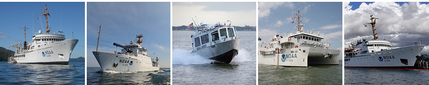
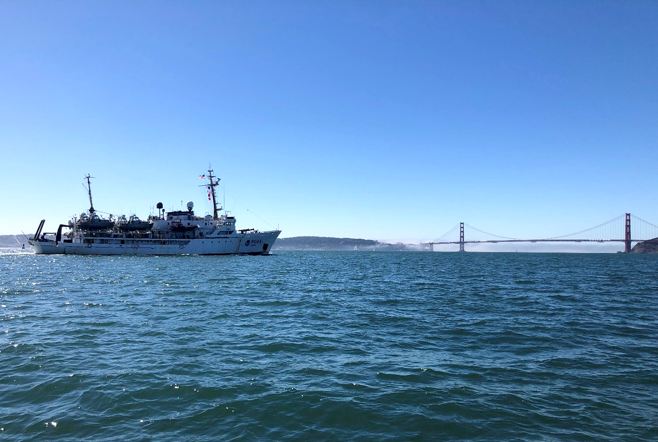
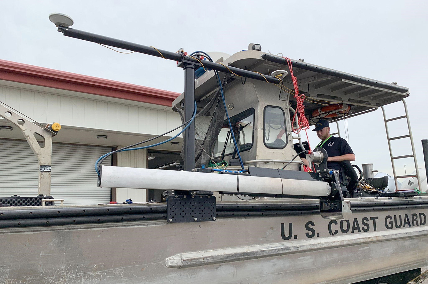
NOAA’s Precision Marine Navigation (PMN) program aims to seamlessly integrate high-resolution bathymetry and high accuracy positioning and shoreline data with the forecast data of water levels, currents, waves, and weather forecasts. This information can be easily accessed and integrated into maritime electronic charting systems and other decision support tools so mariners can plan their transits and make decisions while at sea and coming to and from port. A key component of this program is providing vessel pilots with detailed depth information to ensure safety of vessel transits and that critical under keel clearance safety margins are maintained. The electronic navigational chart (NOAA® ENC), although accurate, typically does not provide the detail that pilots prefer. The ENC has a few standard contours and widely spaced soundings.
Continue reading “Vessel pilots transition to new chart format”NOAA releases 2023 hydrographic survey season plans
NOAA hydrographic survey ships, navigation response teams, and contractors are preparing for the 2023 hydrographic survey season. The ships and survey vessels collect bathymetric data (i.e. map the seafloor) to support nautical charting, modeling, and research, but also collect other environmental data to support a variety of ecosystem sciences. NOAA considers hydrographic survey requests from stakeholders such as marine pilots, local port authorities, the Coast Guard, and the boating community, and also considers other hydrographic and NOAA science priorities in determining where to survey and when. Visit our “living” ArcGIS StoryMap to find out more about our mapping projects and if a hydrographic vessel will be in your area this year!
Continue reading “NOAA releases 2023 hydrographic survey season plans”NOAA releases 2022 hydrographic survey season plans
NOAA hydrographic survey ships and contractors are preparing for the 2022 hydrographic survey season in U.S. coastal waters and beyond. The ships collect bathymetric data (i.e. map the seafloor) to support nautical charting, modeling, and research, but also collect other environmental data to support a variety of ecosystem sciences. NOAA considers hydrographic survey requests from stakeholders such as marine pilots, local port authorities, the Coast Guard, and the boating community, and also considers other hydrographic and NOAA science priorities in determining where to survey and when. Visit our “living” story map to find out more about our mapping projects and if a hydrographic vessel will be in your area this year!
Continue reading “NOAA releases 2022 hydrographic survey season plans”Underway from Alaska to California encountering a new phenomenon, cellular service
By ACHST Simon Swart, Operations Officer Lt. Shelley Devereaux, and HST Adriana Varchetta
After six months of surveying in Alaska, NOAA Ship Fairweather was ready to point the bow south and set sail for San Francisco Bay. However, an unforeseen circumstance stymied the planned underway date. Although we eagerly anticipated the warmer waters of San Francisco Bay, this delay was well received by the hydrographers in the survey department and amongst the NOAA Corps officers. Our work had begun stacking up due to an extremely busy season, coupled with the fact that for most of us, this was our first time working on hydrographic project sheets. Therefore, we happily used this week of “down-time” to complete previous project sheets and plan for the upcoming survey. Those of us as sheet managers focused on cleaning multibeam data, processing backscatter mosaics, attributing features, conducting quality control checks, and writing descriptive reports. This process was greatly assisted with the help of augmenting physical scientists Pete Holmberg and Janet Hsiao. In the end, we were able to finish processing a number of sheets and reach a comfortable place on all the others. After a week of long hours, we were finally ready to toss lines and say “see you next year Alaska.”
Continue reading “Underway from Alaska to California encountering a new phenomenon, cellular service”New NOAA website provides marine navigation resources in a central location
A recently launched website from NOAA’s Precision Marine Navigation (PMN) program will improve the use and accessibility of NOAA’s marine navigation products and services. The website, Marine Navigation, includes links and short descriptions to NOAA’s various navigation resources, providing a one-stop shop that mariners can visit to get the data they need. Designed for shipping professionals and recreational boaters alike, the PMN program hopes the website will become a valuable tool to support all mariners in their navigation planning and decision making processes.
Continue reading “New NOAA website provides marine navigation resources in a central location”Aid to navigation recovery operations with NOAA’s Navigation Response Branch and the U.S. Coast Guard
Flushing Bay Channel Lighted Buoy 3 was struck by a tug and barge in late July, and was reported sunk immediately following the strike. The buoy marks the entrance to a channel frequented by commercial barge traffic, specifically, loaded fuel barges bound for LaGuardia International Airport. The Navigation Response Branch (NRB) was called upon in early August to assist United States Coast Guard (USCG) Sector New York in locating the sunken buoy in Flushing Bay, New York.
Continue reading “Aid to navigation recovery operations with NOAA’s Navigation Response Branch and the U.S. Coast Guard”NOAA concludes hydrographic survey response following Hurricane Delta
This week NOAA’s Office of Coast Survey concluded its hydrographic survey response following Hurricane Delta. At the immediate request of the U.S. Army Corps of Engineers (USACE), NOAA’s navigation response teams (NRTs) and NOAA Ship Thomas Jefferson surveyed areas within the Gulf Intracoastal Waterway (GIWW), Calcasieu Ship Channel, and the entrance to the channel. With lessons learned from the response to Hurricane Laura — the first major hurricane of the 2020 season and the first hurricane response during a pandemic — the teams and Thomas Jefferson successfully collected, processed, and delivered data to the USACE, identifying significant hazards to navigation and helping to ensure the timely reopening of waterways.
Continue reading “NOAA concludes hydrographic survey response following Hurricane Delta”NOAA wants to hear from you on ocean and coastal mapping topics
There are three opportunities in the coming month to provide input to NOAA on its navigation services and the future implementation of national ocean and coastal mapping strategies, development of standard ocean mapping protocols, and precision marine navigation.
Continue reading “NOAA wants to hear from you on ocean and coastal mapping topics”Nautical charts reflect alternate route along Gulf Intracoastal Waterway
In anticipation of the temporary closure of the Gulf Intracoastal Waterway (GIWW)’s Inner Harbor Canal Lock, the Office of Coast Survey released three updated NOAA electronic navigational charts (NOAA ENC®) reflecting the Chandeleur Sound Alternate Route and the addition of 97 Aids to Navigation (ATON). The updated charts include US5LA24M, US4LA34M, and US4MS12M and can be viewed in NOAA’s ENC Viewer or downloaded from NOAA’s Chart Locator.
Continue reading “Nautical charts reflect alternate route along Gulf Intracoastal Waterway”NOAA Coast Survey’s new strategy supports charting mandates and broader seafloor mapping
This week, NOAA’s Office of Coast Survey released the Mapping U.S. Marine and Great Lakes Waters: Office of Coast Survey Contributions to a National Ocean Mapping Strategy. This report is part of NOAA’s ongoing commitment to meet core surveying and nautical charting mandates while supporting broader needs to fill gaps in seafloor mapping and environmental sciences.
Continue reading “NOAA Coast Survey’s new strategy supports charting mandates and broader seafloor mapping”