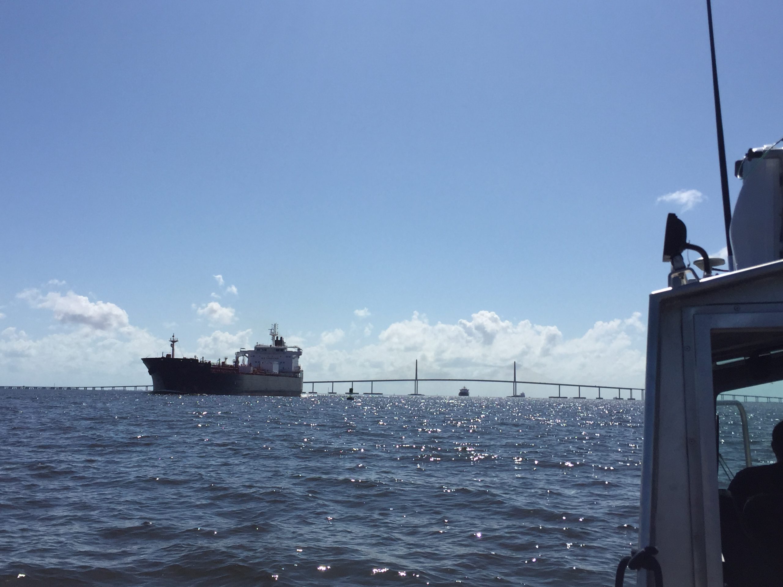
Just as Hurricane Harvey response was wrapping up for some of NOAA Coast Survey’s navigation response teams (NRT), personnel and survey assets were positioned in preparation for the aftermath of Hurricane Irma.
For the NRTs, this meant traveling hundreds of miles with a survey vessel in tow, facing challenges such as locating fueling stations, finding available lodging, and finding opportunities to rest. For the mobile integrated survey team (MIST), which is available to travel anywhere in the U.S. when hydrographic survey assistance is needed by the U.S. Coast Guard (USCG) or U.S. Army Corps of Engineers (USACE), this meant finding transportation to a disaster area and a “vessel of opportunity” to survey from once there. Continue reading “NOAA helps ports recover in Georgia and Florida following Hurricane Irma”
Commerce Secretary Pritzker attends Hassler change of command
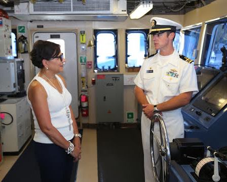
On July 21, U.S. Secretary of Commerce Penny Pritzker attended the change-of-command ceremony for NOAA Ship Ferdinand R. Hassler, one of NOAA’s hydrographic survey vessels that collect data for creating the nation’s nautical charts.
At the ceremony, Lt. Cmdr. Matthew Jaskoski assumed command from Lt. Cmdr. Briana Welton, who served as Hassler’s third commanding officer and will become the chief of Coast Survey’s Atlantic Hydrographic Branch. Jaskoski previously served as executive officer for NOAA Ship Fairweather.
Sec. Pritzker’s remarks highlighted Hassler’s contributions since its commissioning just over four years ago, including its completion of 46 hydrographic surveys and the ship’s contribution to re-opening East Coast sea traffic after Hurricane Sandy. She also reminded the officers and crew of the legacy they honor in their contributions to our nation’s coastal intelligence.
Continue reading “Commerce Secretary Pritzker attends Hassler change of command”
NOAA and Cuban chartmakers working together to improve maritime safety
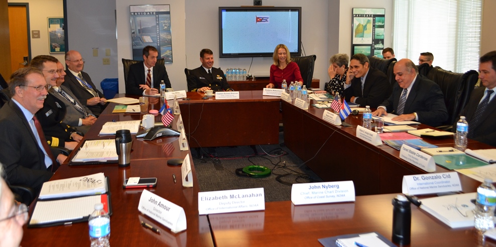
Following up on Coast Survey’s visit to Havana last spring, Cuban hydrographic officials traveled to Maryland on December 15-17, to meet with NOAA National Ocean Service leaders for discussions about potential future collaboration. High on the agenda for Coast Survey is improving nautical charts for maritime traffic transiting the increasingly busy Straits of Florida.
The historic meeting began with Dr. Russell Callender, NOS acting assistant administrator, welcoming the Cuban delegation, led by Colonel Candido Regalado Gomez, chief of Cuba’s National Office of Hydrography and Geodesy.
Continue reading “NOAA and Cuban chartmakers working together to improve maritime safety”
Survey helps ensure safe “parking” for deep-draft vessel in SF
In preparation for the M/V TERN’s anticipated arrival this week in San Francisco Bay, the Coast Guard and Port of San Francisco asked Coast Survey for a bathymetric survey of the proposed anchorage site. TERN is a semi-submersible vessel with a 60-foot draft, and the proposed anchorage site has charted depths of 62 feet and 63 feet ‒ leaving no room for error, to say the least. The question was whether there are any spots shoaler than 62 feet.
This isn’t your everyday anchorage.
Continue reading “Survey helps ensure safe “parking” for deep-draft vessel in SF”
NOAA helps Port Fourchon determine safe anchorage areas
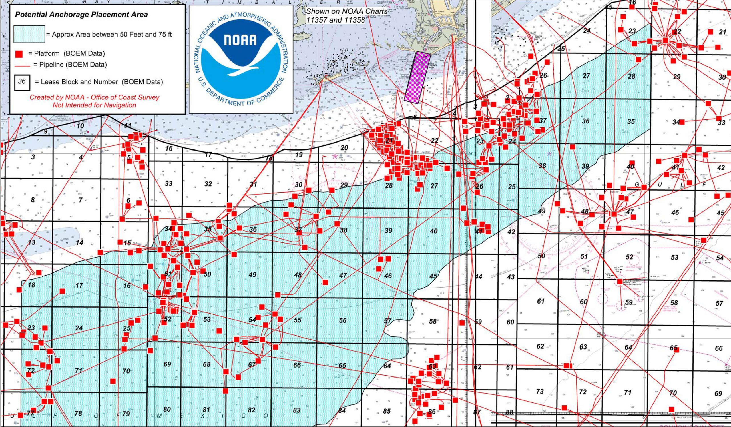
Port officials around the country know they can rely on the expert advice of Coast Survey’s navigation managers, cartographic experts, and hydrographers as the ports plan the essential improvements necessary for a thriving maritime economy. One example of Coast Survey assistance is in Port Fourchon, Louisiana, where port officials have determined that the volume and density of vessels have reached a level that requires one or more offshore anchorage areas. Sending vessels to a designated anchorage reduces the population in port and provides a safe area for vessels to power down their engines (rather than hold in place offshore in dynamic positioning mode), which would improve both safety and efficiency in the area known as the “Gulf’s Energy Connection.”
Continue reading “NOAA helps Port Fourchon determine safe anchorage areas”


