Following up on Coast Survey’s visit to Havana last spring, Cuban hydrographic officials traveled to Maryland on December 15-17, to meet with NOAA National Ocean Service leaders for discussions about potential future collaboration. High on the agenda for Coast Survey is improving nautical charts for maritime traffic transiting the increasingly busy Straits of Florida.
The historic meeting began with Dr. Russell Callender, NOS acting assistant administrator, welcoming the Cuban delegation, led by Colonel Candido Regalado Gomez, chief of Cuba’s National Office of Hydrography and Geodesy.

“You will receive briefings today as a backdrop to the hydrographic collaboration we are pursuing to make maritime navigation safer in the transboundary waters our nations share,” Callender told the group. “I hope your meetings this week in Silver Spring will contribute to your understanding of the breadth and work of NOAA firsthand, and strengthen our work together.”
The five Cuban officials and representatives from NOAA’s navigation services and the National Geospatial-Intelligence Agency worked through the day, explaining the ins-and-outs of each other’s responsibilities and processes. The teams were ready, by the end of the jam-packed agenda, to resolve charting challenges that interfere with smooth navigational transitions from Cuban waters to U.S. waters in the busy Straits of Florida.

First, Cuba’s Office of National Hydrography and Geodesy and Coast Survey’s Marine Chart Division confirmed the division of responsibilities and updated each other on the progress for collaborating on international charts (known in mariner’s parlance as “INT Charts”) 4148, 4149, 4017, and 4021. Then, in a technical move sure to please recreational boaters and commercial mariners alike, the two countries conferred on adjusting Cuba and U.S. electronic navigational charts to eliminate overlaps and gaps in coverage.
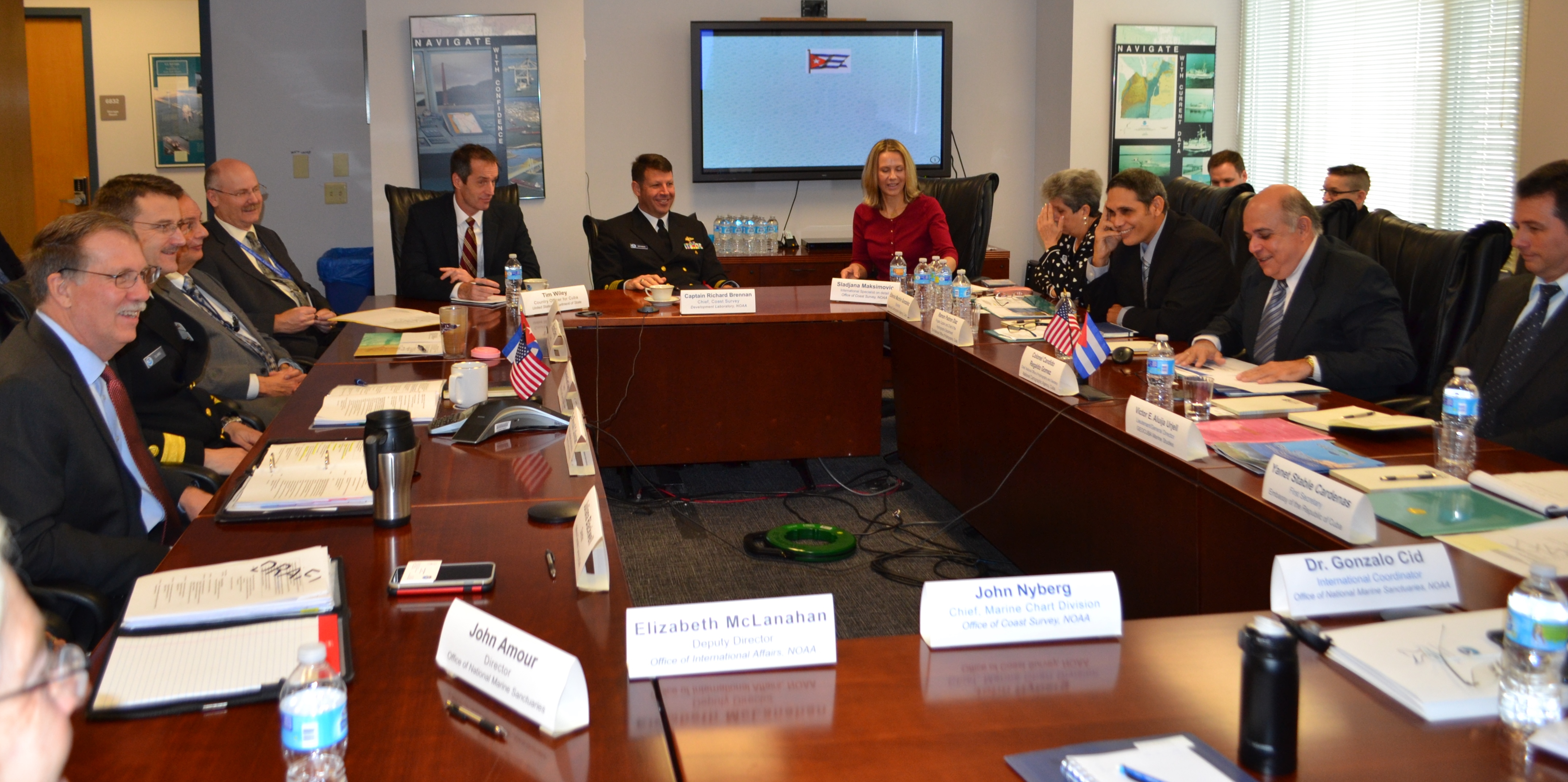
By examining adjacent and adjoining ENCs, both sides were able to confer on ways to improve chart coverage in the busy Straits of Florida, where chart misalignments can play havoc with navigational systems as a vessel moves across maritime borders. Countries around the world regularly resolve these issues, as the U.S. does with Canada and Mexico, through regional consultations hosted by the International Hydrographic Organization but, until now, the U.S. and Cuba were unable to work together on their common set of challenges.
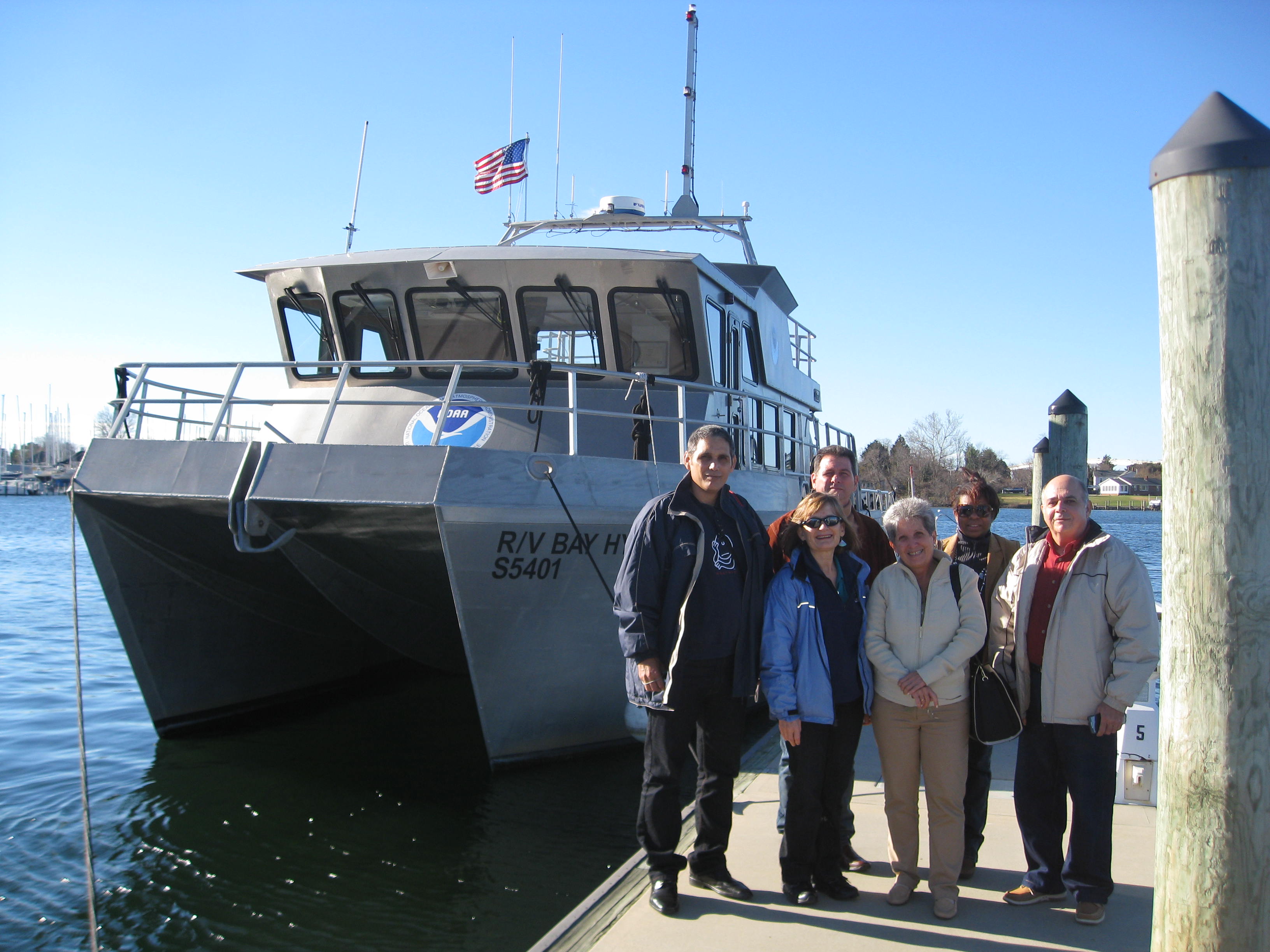
Coast Survey initiated the charting discussions earlier this year, when a team of cartographic professionals traveled to Havana in February for three days of meetings with Cuban officials from the Office of National Hydrography and Geodesy and GEOCUBA. During the visit, the Americans and Cubans agreed to work together on a new international paper chart, INT Chart 4149, which will cover south Florida, the Bahamas, and north Cuba. The Office of Coast Survey is now creating the chart, using data supplied by the United Kingdom Hydrographic Office and the Cubans in addition to U.S. data, and plans to publish the new chart in 2016.
This week’s charting progress follows closely on another major accomplishment. Last month, NOAA Administrator Dr. Kathryn Sullivan and Dr. Holly Bamford, acting assistant secretary of conservation and management, traveled to Havana to sign a Memorandum of Understanding on Marine Protected Area cooperation between our two countries. The agreement provides an opportunity for the U.S and Cuba to develop science, education, and management programs between sister sites in both countries, and will strengthen our collaborative relationship.
“The Cuban maritime industry, like many U.S. ports, is building new infrastructure to support commerce and tourism,” said Rear Admiral Gerd Glang, director of Coast Survey. “Like us, they are improving their charts as port and coastal uses evolve, to support expanding maritime commerce.”
“We are now able to work together, as we do with other nations, to coordinate chart coverage and data acquisition.”

News and Updates

Congrats to all for the first class implementation of data collection from our new Cuban friends and neighbors as it will make sailing the straights of Florida a much safer activity for myriad pleasure boaters and all the Comercial maritime activity that transits this area